Leadership Awards 2026
GW leadership acknowledges individuals and organizations behind building a remarkable progress through constant experimentation, taking risks towards creating innovations and breaking barriers. These awards embody individuals and organisations capable of steering changes and sparking new services, solutions addressing critical challenges while synthesising a whole new process for transformation scope.
The awards are drawn from various categories to recognize the undisputed leader of the year in selective fields. They truly are the champions, making a difference in the industry as well as human lives.
Take a look at the categories below.
- Start-up of the Year
- Solution Company of the Year
- System Integration Company of the Year
- Business Model Transformation of the Year
- Partnerships of the Year
- Integrated Sovereign Space and Geospatial Infrastructure
- Enabling Public Policy of the Year
- National Geospatial / Space Agency of the Year
- Business Leader of the Year
- Geospatial Ambassador of the Year
- Lifetime Achievement Award
Providing the spotlight to those who dare to dream big and shape the way our future will look—this award aims to find the best start-up from around the globe that built new business, broken technology barriers, and is well on its way in making positive and lasting contributions to the geospatial community and beyond.
The award recognizes a company that strives to provide a comprehensive list of solutions that are varied for diverse business needs. While providing hassle-free, convenient & user-friendly solutions, it also addresses the critical challenges of making client businesses profitable.
The Geospatial Ambassador of the Year award annually recognizes honourees for their outstanding contributions to the geospatial community. Individuals who take the legacy forward and contribute to the growth of the geospatial industry. They’ve ingrained geospatial potential and produced fantastic work for technological, economic, and societal benefits. A yardstick of inspiration, younger generations are moved by their optimism towards promoting the industry.
Innovation is the essence of the geospatial ecosystem and a key driver for long-term growth. Innovation formulates and implements new ideas such as inventing, improving, or replacing company processes, products and services. We want to hear from organizations developing such an innovative landscape of geospatial technologies.
This award recognizes and is open to all organizations that provide geospatial product-, solution-, or service-based innovation in work-based environments, from logistics, security, data management, construction & infrastructure, smart factories, and so on.
This award recognizes a leader who has not only achieved significant business success but has also inspired innovation, fostered growth, and made a lasting positive impact on their organization and the broader community. Someone who has driven transformative change through strategic foresight, dedication, and a commitment to excellence. The sheer persistence and passion of the business leader pave the way for new opportunities and greater ventures.
This award will celebrate achievements of national government geospatial agency that has aimed at socio-economic benefits, people welfare and building smooth governance models by utilising technology and integrated strategies. These agencies have emboldened the concept of systemic change, undergone evolution to understand challenges and requirements of the current world by using geospatial technology. The award nomination is open to all public agencies at the national/federal, state/provincial, regional and local levels.
In the journey of ‘making a difference through geospatial knowledge in the world economy and society’, we are responsible for ensuring no one is left behind. Diversity, Equity and Inclusion (DE&I) brings value to all organizations and should be embedded into the DNA of the workplace.
This award celebrates individuals and organizations who champion DE&I every day within the geospatial ecosystem and beyond. They have a strong ethos of addressing imbalance and bringing the underrepresented into the conversation, free from prejudice and discrimination.
The award recognizes the enablers of public policies that significantly influence the formation or execution of public policy affecting geospatial or the geospatial ecosystem. This can be for service, training, or leadership in a technology position; for establishing a program in policy education or advice; for building the resources in technology policy; or other notable policy activity.blooket join
Experts from intergovernmental organizations, parliamentary networks, and government agencies are invited to nominate outstanding public policies.
The prestige of Research, Science & Technology Institution of the Year award is bestowed on an educational and research institute’s successful achievement to raise the level of excellence in geospatial technology, bridge exposure gaps and strengthen the growing community of scientific talent across the globe.
The award aims to reach out globally and identify the best institution playing a crucial role in geospatial technology and its applications.
Making a difference is never easy. Not only does it take years of hard work and persistence, but also a great deal of passion for a specific cause. While the entire world has recognized the importance of geospatial data and technology, the contributions of people who have been promoting the technology and the industry for years deserve acknowledgment.
Lifetime Achievement Award recognizes an individual who has exhibited outstanding and a visionary leadership in the growth of geospatial technology.
Nominate organizations or individuals applying geospatial technologies to address critical societal challenges bringing about undisputed impact for people and society. This award honours an application serving people, and is outcome driven improving transparency, accessibility, and efficiency, exemplifying how Geotech can serve communities and empower informed for-people decision-making.
Jury Members

Greg Scott
Executive Director, SDG Data Alliance
PVBLIC Foundation
USA

Sallie Payne
Secretary General
Eurogeographics
Belgium

Rajesh Alla
CEO
IIC Technologies
India

Willy Govender
CEO
Vast Point
South Africa
H.E. Eng. Anwaar Al Shimmari
Executive Director
Federal Geographic Information Center (FGIC)
UAE

David Henderson
Chief Geospatial Officer
Ordnance Survey
UK

Prateep Basu
CEO
SatSure
India

Paola Salman
Esri
Mexico
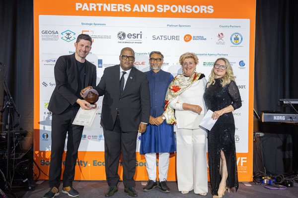
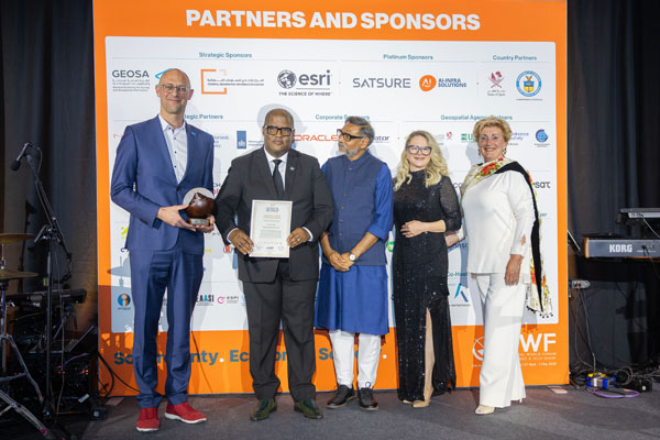
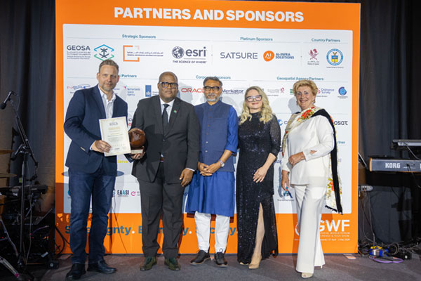
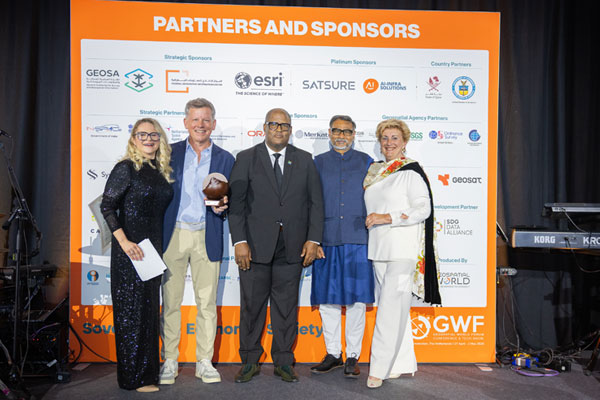
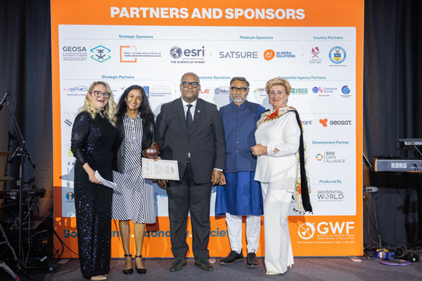
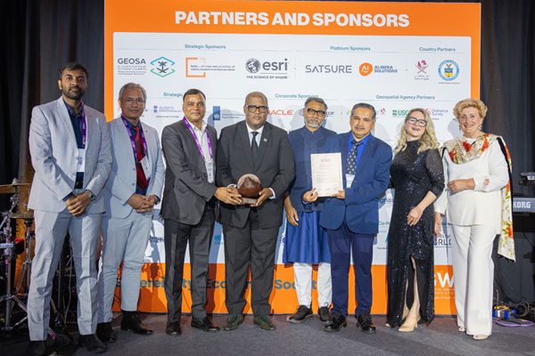
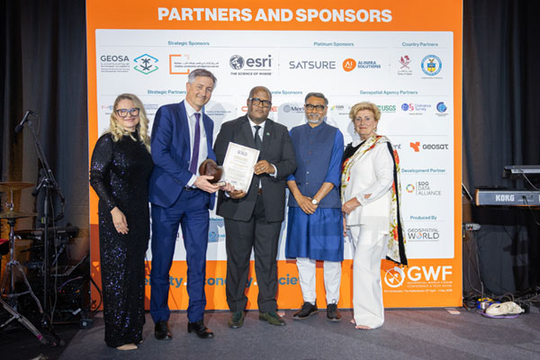
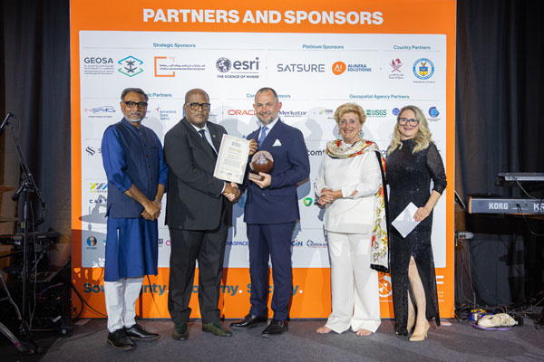
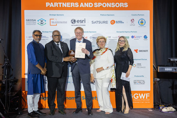
Leadership Awards 2026 Winners
ORORATECH
Recognised for establishing a leading position in space-based thermal intelligence, OroraTech has pioneered real-time wildfire detection as the foundation of a broader global monitoring platform. By combining proprietary satellite sensing with advanced data processing and analytics, the company has built an integrated thermal intelligence layer that is increasingly embedded in operational workflows across governments, civil protection agencies, and critical infrastructure operators. Building on its proven deployment in wildfire monitoring, OroraTech is expanding its platform into adjacent mission-critical applications, enabling earlier detection, improved decision-making, and enhanced resilience across climate, security, and infrastructure domains
NV5 Global (United States)
Recognised for advancing geospatial intelligence across the infrastructure value chain, NV5 Global integrates remote sensing, geospatial software, and AI-driven analytics to transform complex spatial data into actionable insight. Through its ENVI software ecosystem, the GeoAgent agentic AI platform, and integrated UAV and LiDAR capabilities, NV5 enables organisations to move beyond mapping toward predictive, decision-ready infrastructure intelligence, setting a new benchmark for modern geospatial solutions companies.
Accenture Global
Recognised for advancing geospatial intelligence across the infrastructure value chain, NV5 Global integrates remote sensing, geospatial software, and AI-driven analytics to transform complex spatial data into actionable insight. Through its ENVI software ecosystem, the GeoAgent agentic AI platform, and integrated UAV and LiDAR capabilities, NV5 enables organisations to move beyond mapping toward predictive, decision-ready infrastructure intelligence, setting a new benchmark for modern geospatial solutions companies.
Vexcel Imaging
Recognised for its remarkable transformation from a precision aerial camera manufacturer to a foundational AI-driven intelligence platform, Vexcel Imaging has redefined geospatial data value. By creating one of the largest aerial imagery datasets and launching Vexcel Intelligence, the company now powers critical property insights, rapid post-disaster assessments through the Gray Sky Programme, and supports AI training and climate risk intelligence—positioning itself as essential infrastructure for the future of geospatial decision-making.
Recognised for building a transformative geospatial intelligence partnership ecosystem, Google has redefined the role of maps in the age of artificial intelligence. By integrating BigQuery, Earth Engine, and collaborations with Anthropic, Sanborn Map Company, the Overture Maps Foundation, Bentley Systems, and Niantic Spatial, Google has created a powerful platform where spatial data, AI, and analytics converge to drive real-world insight and action.
Department of Science & Technology (DST) and IN-SPACe, India
Recognised for pioneering an integrated sovereign space and geospatial infrastructure, Indian National Space Promotion and Authorization Center, in collaboration with the Department of Space India and the Department of Science and Technology India, has reshaped India’s national geospatial strategy. Through the National Geospatial Policy 2022 and new public-private initiatives, India is transforming decades of sovereign space investment into a thriving, industry-driven geospatial data economy—integrating manufacturing, open data access, and commercial participation to position the country as a leading Indo-Pacific space and geospatial power.
National Space Strategy 2025–2040 (France) / CNES
Recognised for establishing one of the most ambitious and comprehensive national space policies, France’s National Space Strategy 2025–2040 positions the country as a key anchor of Europe’s future space capability. Backed by significant long-term investment and guided by five strategic pillars—autonomous launch capability, industrial competitiveness, defence space systems, scientific leadership, and European cooperation—the strategy strengthens sovereign space infrastructure. With CNES providing scientific expertise and programme leadership, it reinforces vital systems such as Copernicus and Galileo, ensuring resilient data foundations for Europe’s geospatial and space ecosystem.
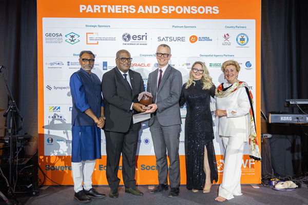
Ordnance Survey, UK
Recognised for redefining the role of a national mapping agency in the digital era, Ordnance Survey has transformed the National Geographic Database—comprising over 600 million features—into an AI-enabled spatial intelligence platform. By integrating machine-learning insights and enterprise analytics ecosystems, it demonstrates how authoritative geospatial data can move beyond maps to power real-time decisions, setting a new global benchmark for national mapping agencies.
Dan Smoot — Vantor
Recognised for driving a transformative shift in commercial Earth observation, Dan Smoot has redefined the role of geospatial intelligence in a rapidly evolving market. Through strategic vision, he has guided the transition from imagery products to spatial intelligence outcomes, strengthened global partnerships, and advanced innovative platforms that integrate geospatial insight with artificial intelligence to support critical decision-making worldwide.
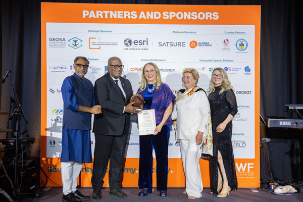
Ingrid Vanden Berghe
Recognised for strengthening global geospatial governance and advancing international collaboration, Ingrid Vanden Berghe has played a defining role in shaping the institutional frameworks that guide how nations manage and share geospatial data. As Administrator General of Belgium’s National Geographic Institute and Co-Chair of UN-GGIM, she has been instrumental in developing the UN-GGIM Strategic Framework 2025–2030, steering efforts toward resilient, interoperable, and policy-driven geospatial ecosystems while championing greater inclusion and leadership for women in geodesy, technology, and the geospatial sciences.
Prof. Dr. Paul Becker
Recognised for a lifetime of pioneering contributions to geodesy and Earth observation, Prof. Dr. Paul Becker has played a defining role in strengthening the global geodetic infrastructure that underpins modern positioning, navigation, and Earth monitoring systems. Through visionary leadership and the establishment of the UN Global Geodetic Centre of Excellence, he has advanced international collaboration and ensured the integrity of the reference frameworks on which the global geospatial ecosystem depends.


