
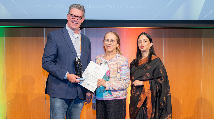
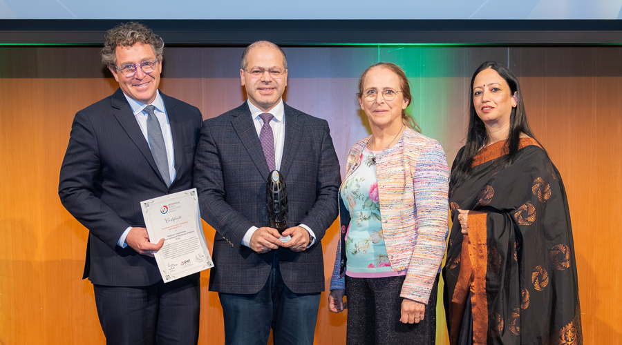
Geospatial World Excellence Awards
With an authentic history from 2007, Geospatial World Awards are an internationally acclaimed and premium awards recognizing model practices in the global geospatial industry. With the ceremony taking place at Geospatial World Forum every year, the awards have recognized over 220+ organizations till date.
Under the Excellence Awards, we have three main categories that are given to Organizations
Application Excellence Awards
These awards commemorate exemplary usage and application of geospatial tools and solutions in various industries.
Note: Application Excellence Awards is strictly conferred to project owner/user not the contractors or technology developers/providers.Technology Innovations Awards
Disruptive innovation that drives wider adoption of geospatial technology in the mainstream.
Note: Opens to product offerings by technology companies with innovative integration of AI, ML, IoT, Cloud, PNT, Digital Twins, Metaverse, etc. If you’re nominating an application, please choose the Application Excellence category. Nominations in the wrong category will be considered as invalid.Policy Implementation Awards
Empowering the organisations or agencies that are enabling the implementations of public policies directly impacting the development of geospatial science, technology and businesses or even state/national policies that have a major geospatial technology use in the public policy implementation.
Note: The nominated policy must be in effect and implemented, not a policy paper.Ready for the Spotlight?
A guest pass is given to the winners for the conference, and you may have a presentation slot to share your story.
Make sure to block your calendar!


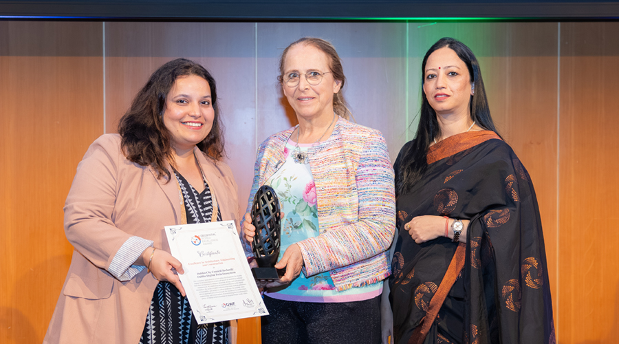
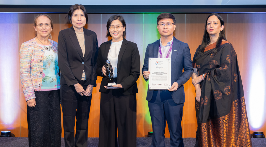
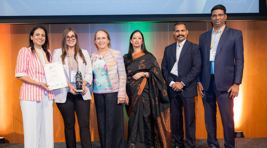
Geospatial World Excellence Awards 2026 Winners
Dublin City Council (Ireland): Dublin Digital Twin Ecosystem
For exemplary innovation in smart urban development, the Dublin Digital Twin Ecosystem leverages advanced 3D modelling and realtime data integration to enhance planning, design, and infrastructure management. By combining geospatial intelligence with digital simulation, the project enables informed decision-making, promotes sustainability, and improves urban resilience. Its scalable, datadriven approach sets a benchmark for excellence in architecture, engineering, and construction, demonstrating the transformative power of digital twin technology in shaping future-ready cities.
Urban Redevelopment Authority (URA): ePlanner – 2D/3D Integrated Planning Platform, Singapore
For exemplary innovation in urban planning, the ePlanner platform integrates 2D and 3D geospatial data to enable comprehensive visualization, analysis, and decision-making. By combining advanced spatial technologies with user-centric design, the platform enhances planning efficiency, supports sustainable development, and fosters inter-agency collaboration. Its scalable, data-driven approach empowers smarter city management and sets a benchmark for forward-looking, integrated urban planning solutions.
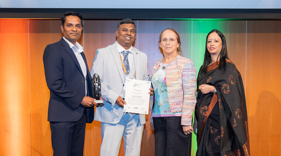
Tech Mahindra: Altavec AIMS Platform
For exemplary application of geospatial technology in utility management, the Altavec AIMS platform integrates advanced analytics, remote sensing, and digital solutions to optimize infrastructure monitoring and asset management. By enabling real-time insights and predictive decision-making, the platform enhances operational efficiency, improves service delivery, and supports sustainable resource utilization. Its scalable, technology driven approach sets a benchmark for innovation and excellence in modern utility systems.
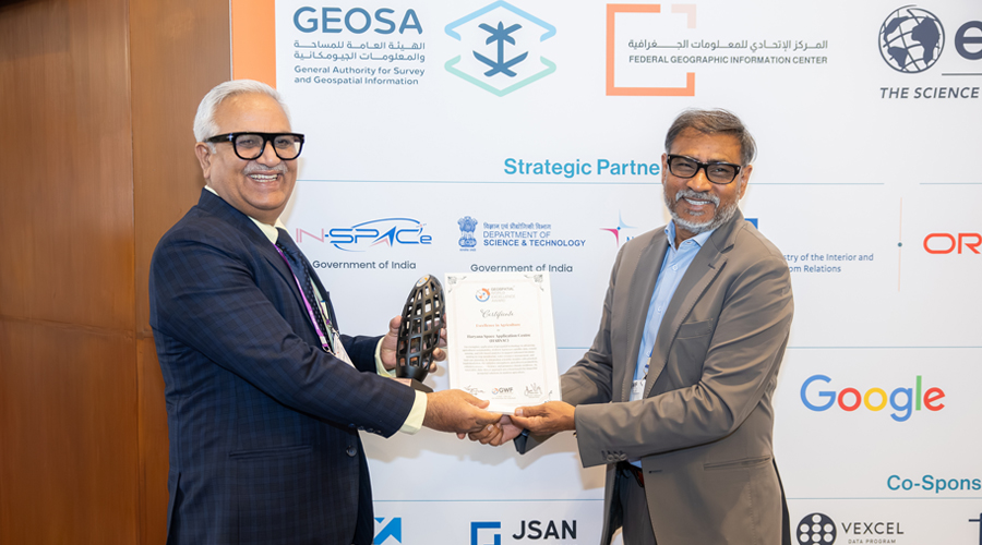
Haryana Space Application Centre (HARSAC)
For exemplary application of geospatial technology in advancing agricultural sustainability, HARSAC harnesses satellite data, remote sensing, and GIS-based analytics to support informed decisionmaking in crop monitoring, water resource management, and land-use planning. By integrating scientific insights with practical implementation, the initiative strengthens agricultural productivity, enhances resource efficiency, and promotes climate resilience. Its innovative, data-driven approach sets a benchmark for impactful geospatial solutions in modern agriculture.
Cognizant: Geospatial Data Intelligence Solution
For exemplary innovation in generative business intelligence, Cognizant’s Geospatial Data Intelligence Solution enables intuitive interaction with complex geospatial data through natural language processing and automated analytics. By integrating data storytelling, AI-driven code generation, and enhanced data exploration, the solution democratizes access to insights, accelerates decisionmaking, and improves productivity. Its scalable and user-centric approach sets a new benchmark for leveraging generative AI in geospatial intelligence and business analytics.
Florida Department of Environmental Protection (FDEP) & Woolpert: Florida Seafloor Mapping Initiative (FSMI)
For exemplary use of geospatial innovation in coastal and marine management, the Florida Seafloor Mapping Initiative delivers high-resolution, statewide seafloor data to support informed decision-making and environmental stewardship. By integrating advanced hydrographic surveying, remote sensing, and spatial analytics, the project enhances coastal resilience, habitat conservation, and sustainable resource management. Its comprehensive, data-driven approach sets a benchmark for maritime excellence and highlights the vital role of geospatial technology in protecting marine ecosystems.
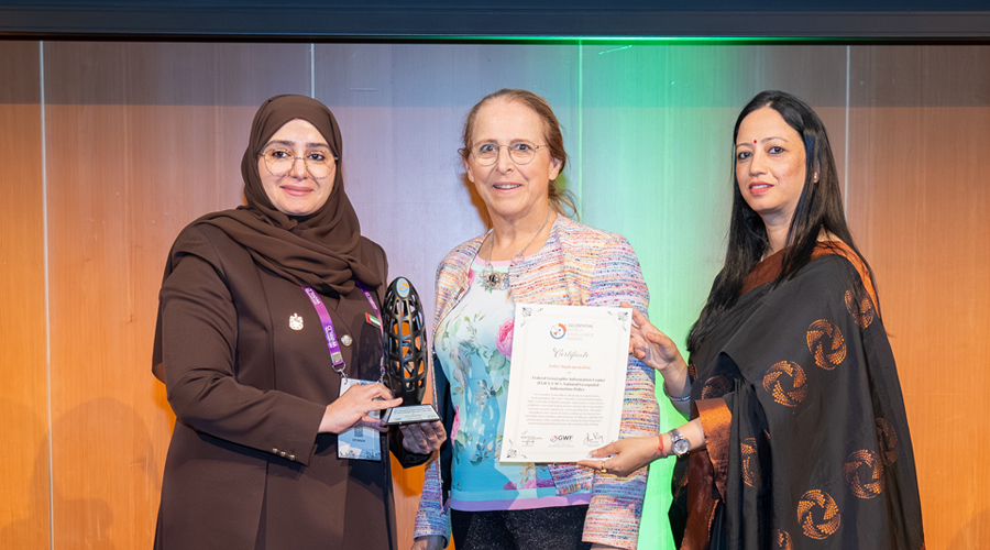
Federal Geographic Information Center (FGIC): UAE’s National Geospatial Information Policy
For exemplary leadership in advancing geospatial policy implementation, the UAE’s National Geospatial Information Policy, led by the Federal Geographic Information Center (FGIC), establishes a forward-looking framework that drives innovation, economic growth, and private-sector participation. The policy strengthens data-driven decision-making across key sectors including urban planning, infrastructure, healthcare, and disaster management, while enabling the development of an integrated national geospatial infrastructure for seamless data sharing.
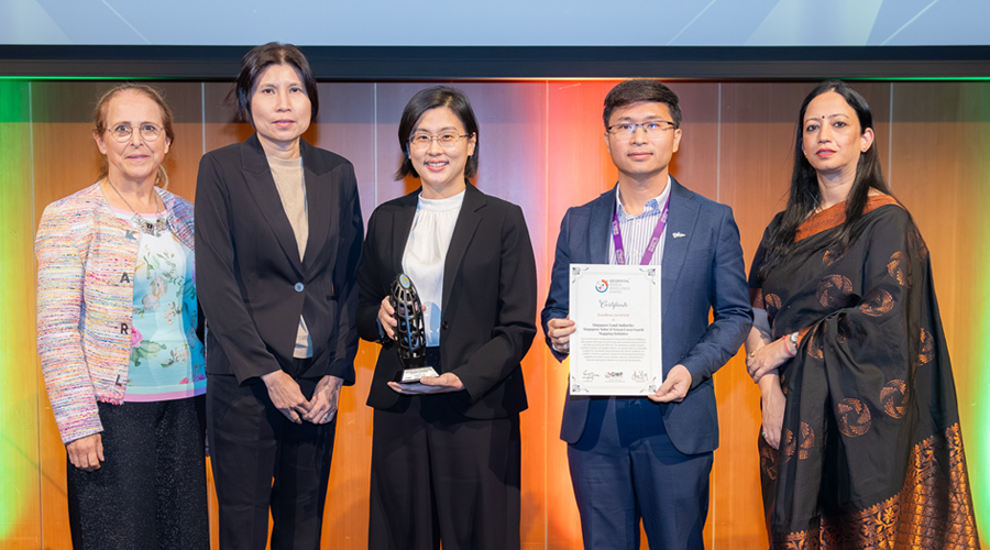
Singapore Land Authority: Singapore Solar & Green Cover GeoAI Mapping Initiative
For transformative advancements in geospatial artificial intelligence, this initiative leverages GeoAI to map solar potential and green cover with high precision and efficiency. By integrating satellite imagery, machine learning, and spatial analytics, the project delivers actionable insights for sustainable urban planning and climate resilience. Its scalable, AI-driven approach enhances environmental monitoring, supports renewable energy adoption, and sets a benchmark for innovative geospatial solutions in smart city development.
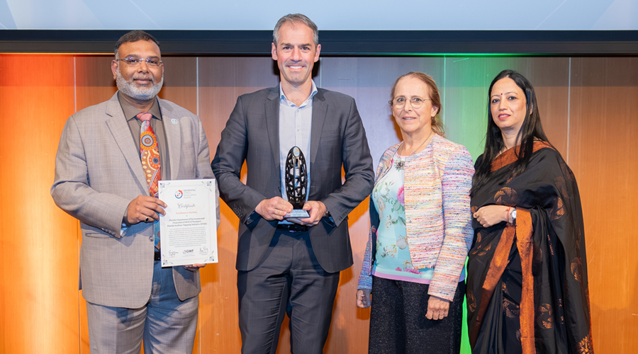
Department of Transport (DOT) USA: High-Definition Urban Mapping for Avs
For transformative advancements in high-definition mapping, this initiative leverages cutting-edge geospatial technologies to create highly accurate, data-rich urban maps essential for autonomous vehicle navigation. By integrating LiDAR, imagery, and real-time data processing, the project enables precise localization, improved road safety, and enhanced mobility solutions. Its scalable, high-precision approach redefines digital mapping standards and underscores the critical role of HD maps in shaping the future of intelligent transportation systems.
Windover Construction: AI-Driven Automated Plan Review Platform (UAE)
For transformative innovation in spatial computing and digital twin technology, this platform leverages AI-driven automation to streamline and enhance the plan review process. By integrating geospatial data, 3D modeling, and intelligent analytics, it enables faster, more accurate assessments while improving regulatory compliance and urban development outcomes. Its scalable, data-driven approach modernizes traditional workflows and sets a benchmark for efficient, technologyenabled governance in the built environment.