Put Your Brand at the Center of the Global Geospatial Ecosystem
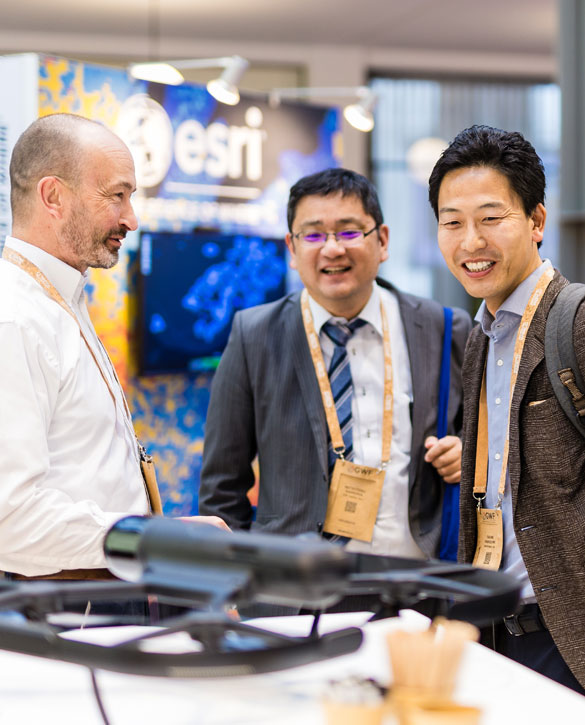
The Geospatial World Forum Tech Show is where business meets innovation, and vision meets opportunity. Over three dynamic days at RAI Amsterdam, connect with global industry leaders, government stakeholders, and cutting-edge innovators who are redefining how we understand and interact with our world.
As geospatial technologies converge with AI, digital twins, Earth observation, and real-time analytics, this is your platform to showcase breakthroughs, launch new solutions, and demonstrate real-world impact. Whether through immersive booths or targeted conversations, your presence here isn’t just about visibility — it’s about influence.
Expand your global footprint, generate high-value leads, and forge lasting partnerships in an environment built for knowledge exchange, strategic collaboration, and business growth.
This is more than an exhibition — it’s where the future of geospatial unfolds. Will your brand be part of it?
Regular
Euro 550 per SQM
What makes Tech Show Unique?
What makes Tech Show Unique?
What makes Tech Show Unique?
What makes Tech Show Unique?
What makes Tech Show Unique?
What makes Tech Show Unique?
Why Exhibit?

National
Showcase
Showcase your country’s geospatial innovations on a global platform through dedicated national pavilions.

Live Product
Demonstrations
Demonstrate your geospatial products and solutions live to a targeted audience.

Technical
Engagement
Engage in hands-on technical sessions to highlight real-world applications of your technologies.

Innovation
Spotlight
Exhibit next-gen innovations and gain visibility among global start-ups, enterprises, and investors.

Driving
Transformation
Promote your role in driving cross-sector transformation through geospatial integration.
Thought
Leadership
Position your brand as a thought leader through curated knowledge-sharing opportunities.
Strategic
Deal-Making
Leverage B2B meeting lounges to initiate strategic partnerships and commercial deals.
Global
Networking
Connect face-to-face with global decision-makers and industry leaders from key sectors.
Position your brand across dedicated product sectors
- Geospatial Technology & Data Management
- Aerospace, Defense & Satellite Solutions
- Mining & Environmental Engineering
- Information Technology & Digital Services
- Earth Observation (EO)
- Geospatial AI & Analytics
- Geospatial Software platforms
- Government / Geospatial Authority & Public Mapping
- Public Sector / Geospatial Mapping
- Professional Association
- Business IT Solutions
- AI & Data Annotation
- Remote Sensing
- Engineering Solutions
- Climate Resilience
- Space Research & Innovation
- Public Sector Technology
- Higher Education & Research
- Academic Institution
- Digital Transformation & Consulting
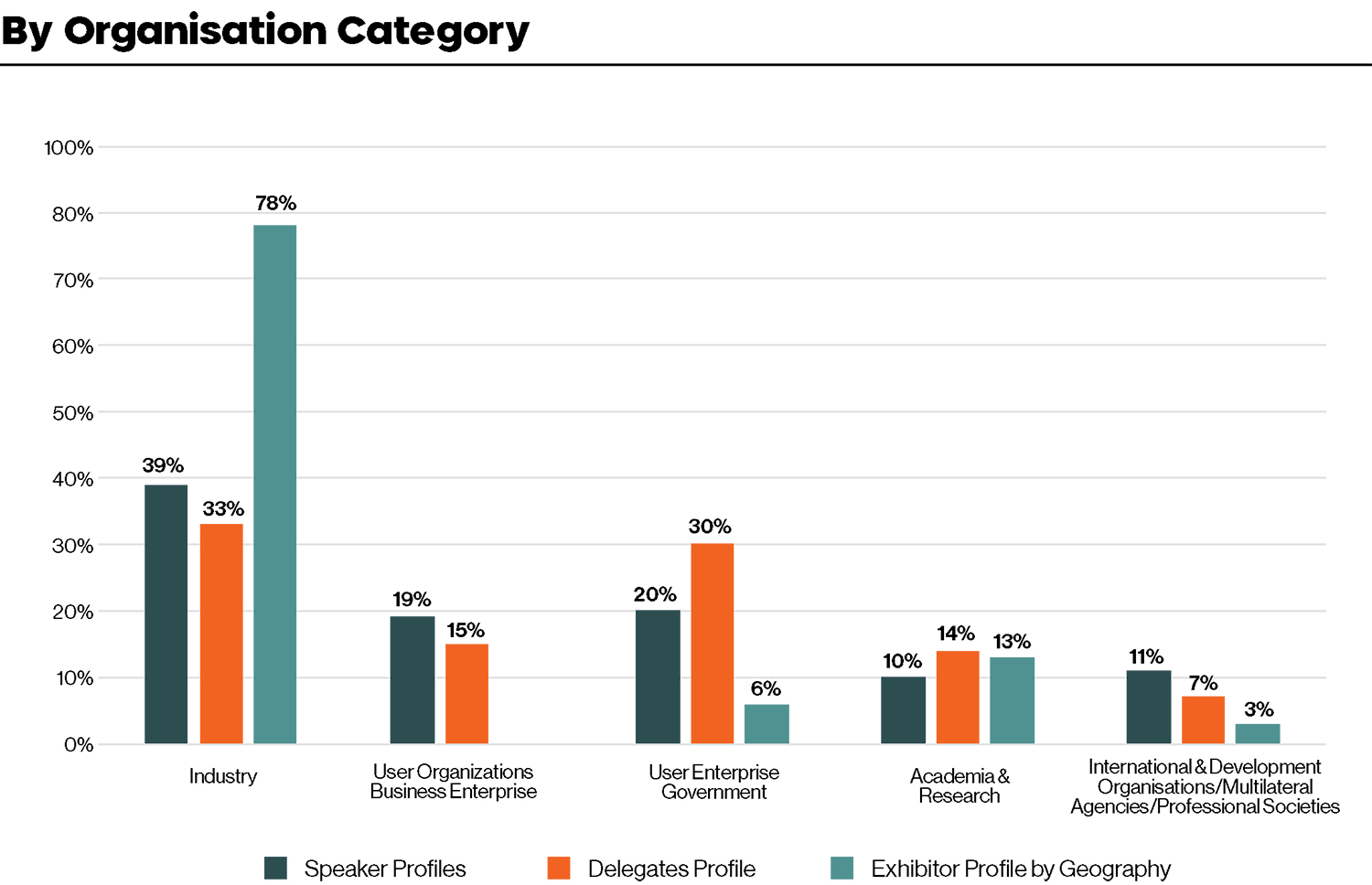
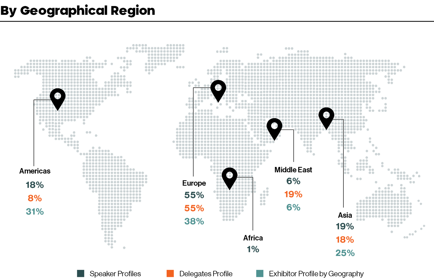
Attendee Profiling
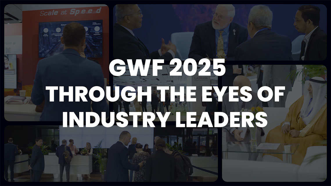
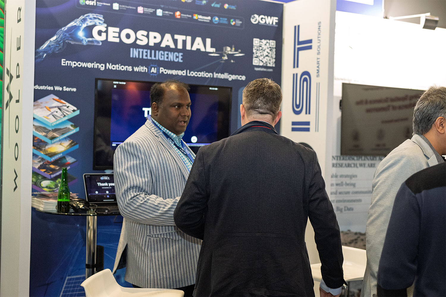
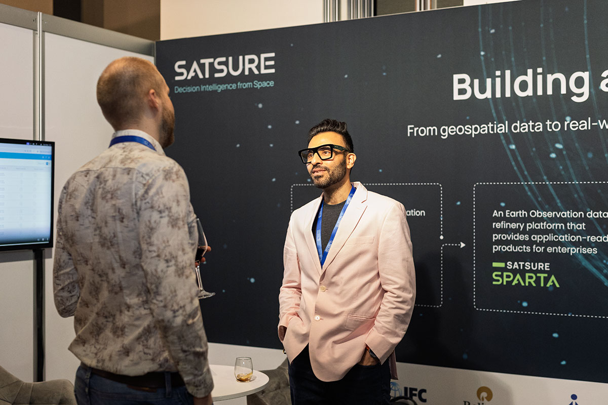
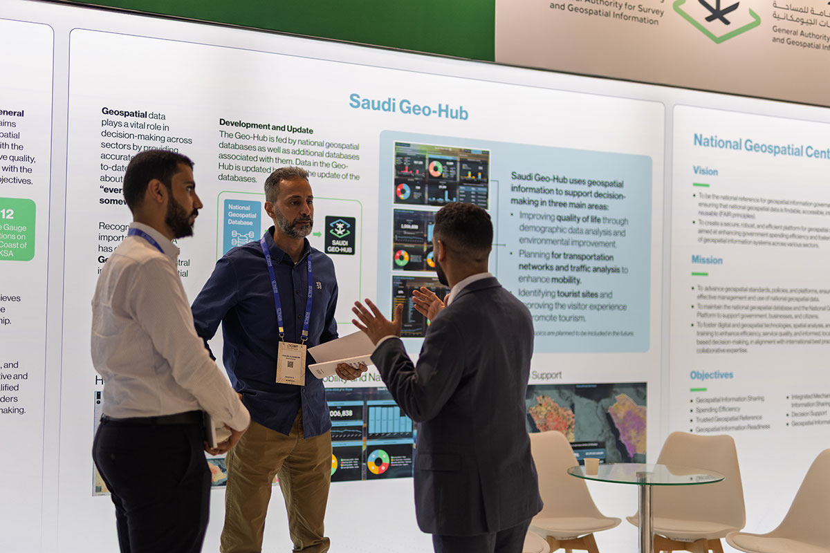
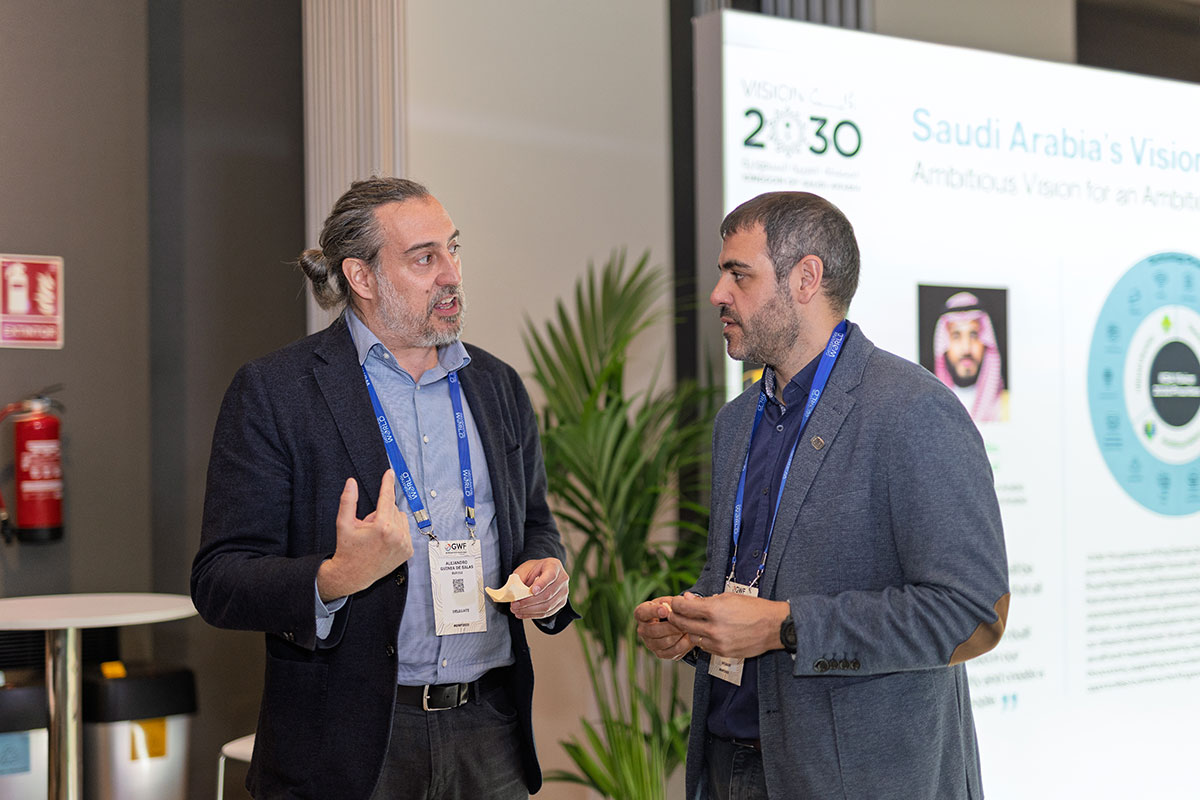
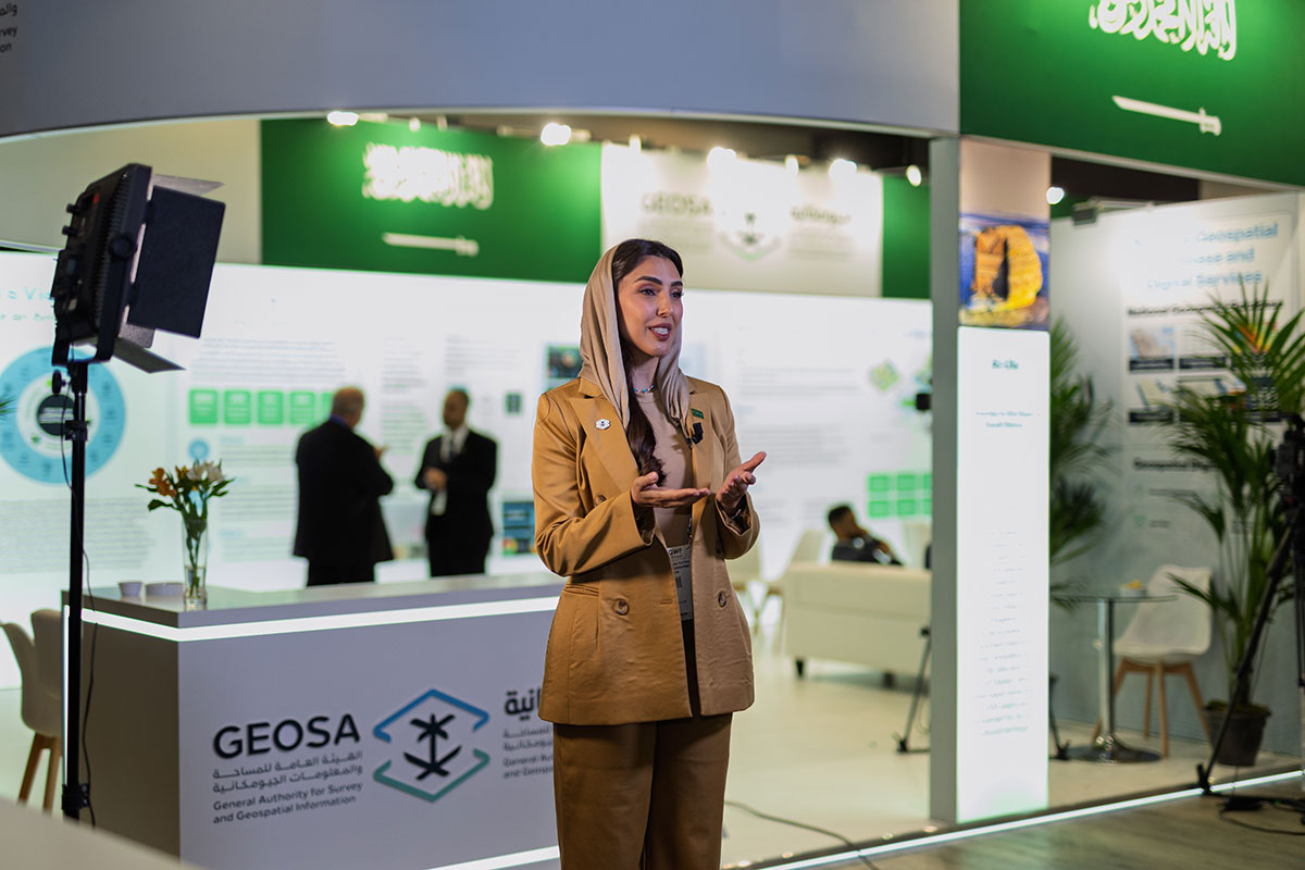
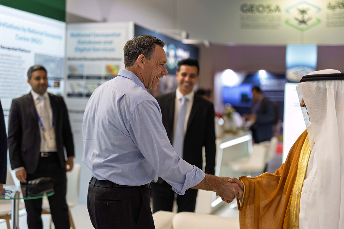
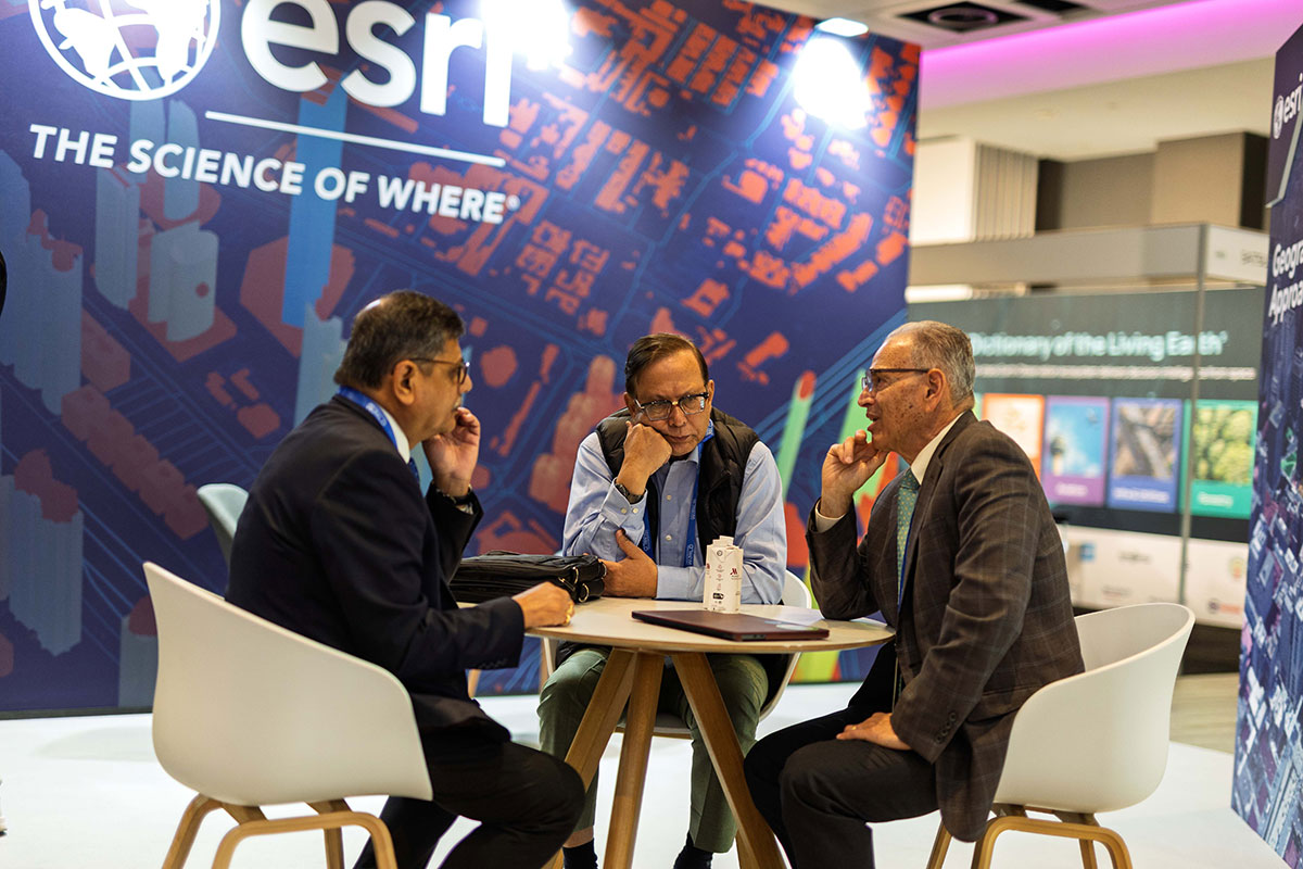
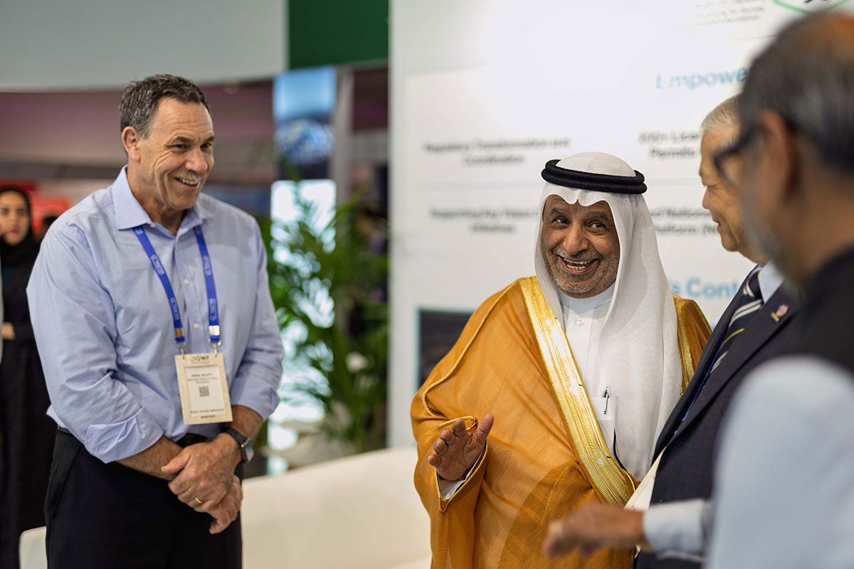
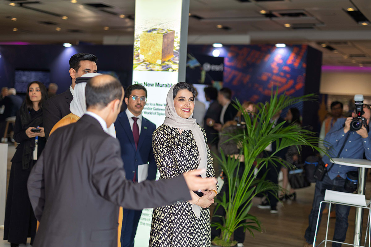
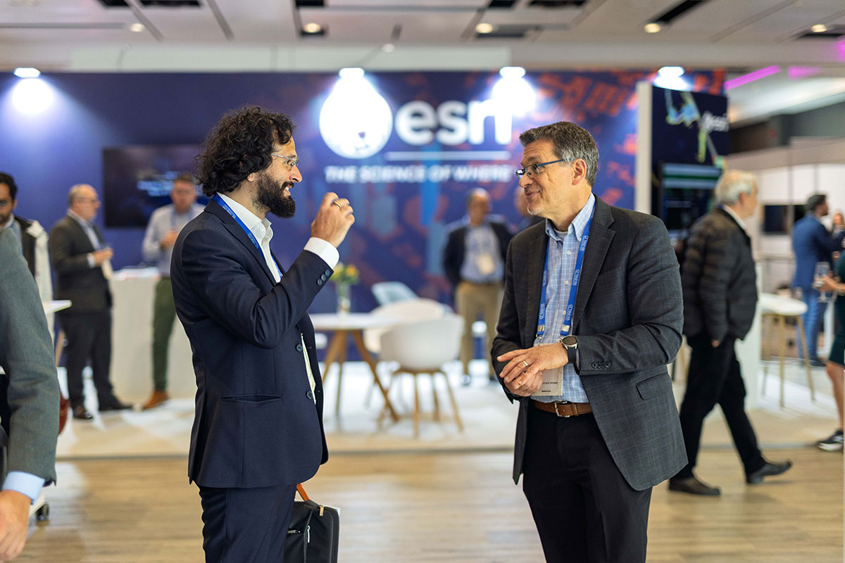
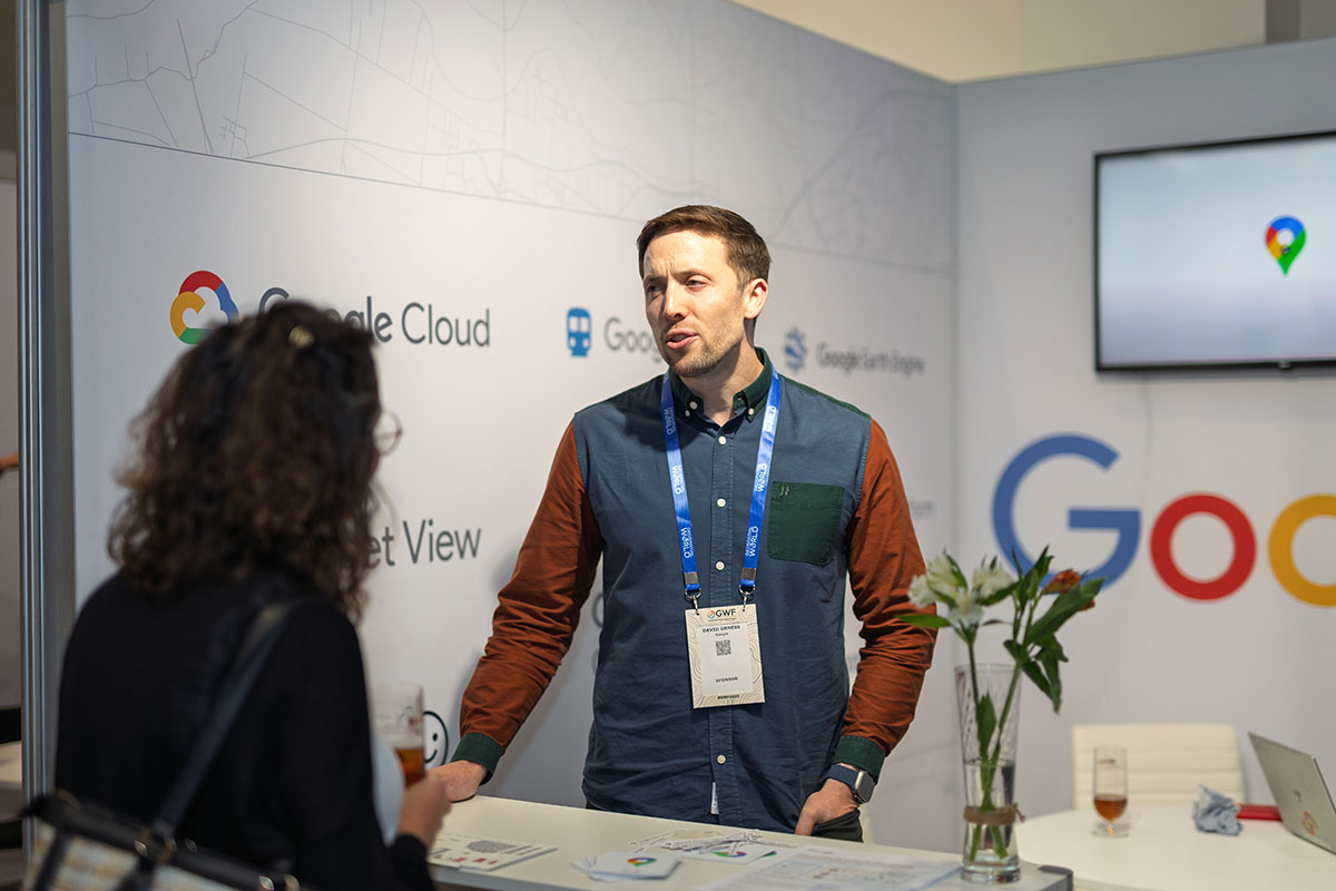
Highlights from #GWF2025


For Queries, Write to us: [email protected]