Governments are investing in:
- Sovereign geospatial infrastructure
- National digital twins
- AI and space ecosystems
- Smart infrastructure
- Climate intelligence platforms

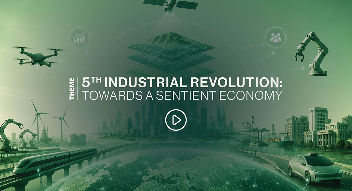
The world is entering the 5th Industrial Revolution, where intelligence is becoming deeply embedded into the physical environment around us. Cities are becoming autonomous, infrastructure is becoming predictive, industries are becoming connected, and economies are increasingly powered by real-time data and intelligent systems.
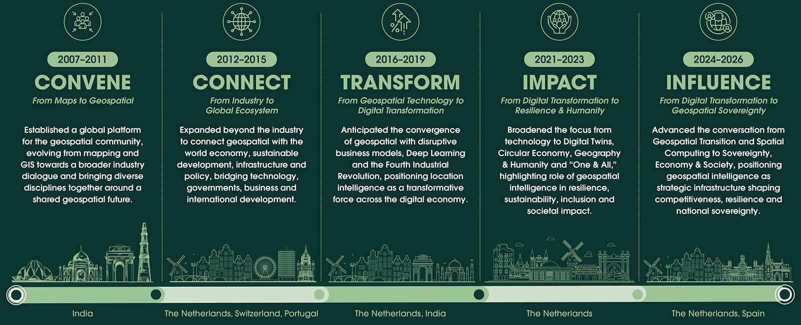
Read MoreOver two decades, GWF has evolved into a high-value global platform integrating thought leadership, technology showcase, business networking and cross-sector collaboration. By bringing together governments, industry, innovators, academia and technology providers, GWF connects ideas with action. Its future-focused agenda—from AI and digital twins to spatial computing and sovereignty—ensures emerging technologies are discussed, demonstrated, partnered and translated into real-world impact.
 1,500+ Delegates
 350+ Speakers
 100+ Exhibitors
 100+ Countries
 600+ Organizations
The world is entering the 5th Industrial Revolution, where intelligence is becoming deeply embedded into the physical environment around us.





Explore applications in predictive analytics, automated feature extraction, intelligent decision-making, and real-time geospatial insights that are driving innovation across industries and shaping the future of location intelligence.
Showcase innovations in 3D data acquisition, reality capture, and high-resolution mapping, enabling smarter infrastructure planning, environmental monitoring, digital asset management, and next-generation geospatial applications across sectors worldwide.
Explore advancements in HD maps for autonomous vehicles, robotics, and intelligent mobility, highlighting technologies that enhance navigation, situational awareness, safety, and seamless interaction between autonomous systems and their environments in real-world applications.
Examine how Spatial computing & Digital twins are transforming planning, operations, and decision-making across industries by integrating geospatial data, simulation, and real-time analytics to build smarter, more connected, and resilient infrastructure systems globally.
Focus on emerging methodologies in spatial analytics, big data integration, and visualization, empowering organizations to make informed decisions and drive innovation through data-driven approaches to solving global challenges.
The GWF Conference convenes global leaders, policymakers, innovators, researchers, and industry pioneers to exchange strategic insights, advance innovation, and foster impactful collaborations shaping the future spatial economy.
The geospatial industry is evolving beyond mapping to become a critical enabler of intelligent economies and digital transformation.



The convergence of AI, autonomy, robotics, Earth observation, and digital twins is accelerating the demand for trusted, real-time geospatial intelligence.

Geospatial technologies are emerging as a foundational layer for intelligent infrastructure, autonomous systems, spatial computing, and data-driven governance—positioning them at the heart of the future Spatial Economy.
Position your brand at the forefront of the global geospatial ecosystem. Meet qualified buyers, government leaders, technology innovators, and strategic partners while launching new solutions and creating business opportunities that drive long-term growth.
Connect with government agencies, enterprises, system integrators, and technology leaders from across the world.
Launch new products, demonstrate capabilities, and generate interest among an influential audience.
Build valuable relationships with partners, distributors, investors, and industry stakeholders.
Strengthen your market presence and position your brand among the industry's leading innovators.
Experience the latest innovations in geospatial, space, AI, and digital technologies. Meet industry leaders, explore live demonstrations, and gain complimentary access to expert-led technical sessions—all included with your Visitor Pass.
Discover cutting-edge technologies, products, and real-world solutions transforming industries.
Attend expert-led sessions featuring emerging trends, best practices, and practical applications.
Connect with global companies, policymakers, researchers, startups, and technology pioneers.
Explore future trends, breakthrough innovations, and opportunities shaping the spatial economy.





































































The Geospatial World Forum Tech Show is where business meets innovation, and vision meets opportunity. Over three dynamic days at RAI Amsterdam, connect with global industry leaders, government stakeholders, and cutting-edge innovators who are redefining how we understand and interact with our world.
As geospatial technologies converge with AI, digital twins, Earth observation, and real-time analytics, this is your platform to showcase breakthroughs, launch new solutions, and demonstrate real-world impact. Whether through immersive booths or targeted conversations, your presence here isn’t just about visibility — it’s about influence.
Expand your global footprint, generate high-value leads, and forge lasting partnerships in an environment built for knowledge exchange, strategic collaboration, and business growth.
This is more than an exhibition — it’s where the future of geospatial unfolds. Will your brand be part of it?
Step beyond the exhibition floor and discover the technologies, ideas, and innovations shaping tomorrow's world.
Explore breakthrough solutions, experience live product demonstrations, attend complimentary technical sessions, and connect with global technology leaders, innovators, policymakers, and industry experts—all in one place.
Whether you're looking to discover new technologies, expand your network, or gain practical insights, the GWF Tech Show offers an experience that goes beyond the exhibition.

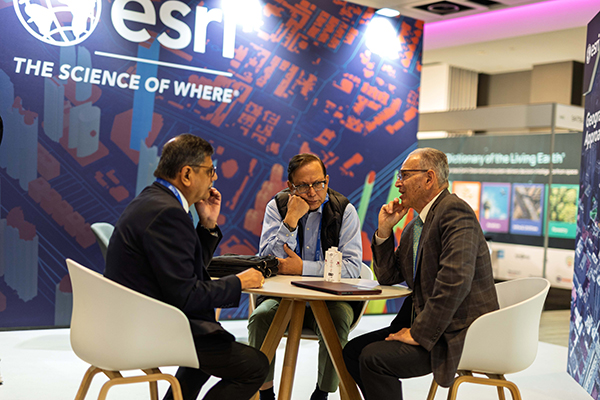
Gain expert insights into emerging technologies, real-world applications, industry trends, and the innovations transforming the global geospatial and space ecosystem.
Discover the latest advancements in geospatial, AI, Earth observation, space technologies, digital twins, and intelligent infrastructure.
Attend complimentary technical sessions featuring industry leaders sharing practical insights, emerging trends, and real-world success stories.
Meet technology providers, policymakers, researchers, startups, investors, and decision-makers from around the world.
Explore innovative solutions, identify new opportunities, and stay ahead of the technologies shaping the future of industries and economies.
Showcasing the leading companies that have showcased their innovations at our events

Recognising the people and projects making those stories possible.
A diverse global community driving the 5th Industrial Revolution through collaboration, innovation and shared impact.

Public sector organizations using geospatial technologies for governance and service delivery.

Providers of geospatial products, platforms, software, data, hardware, or services.

Universities, research institutions, and think tanks engaged in education and innovation.

International agencies, multilateral institutions, and global development organizations.

Startups, incubators, accelerators, and innovation hubs driving geospatial entrepreneurship and technological innovation.
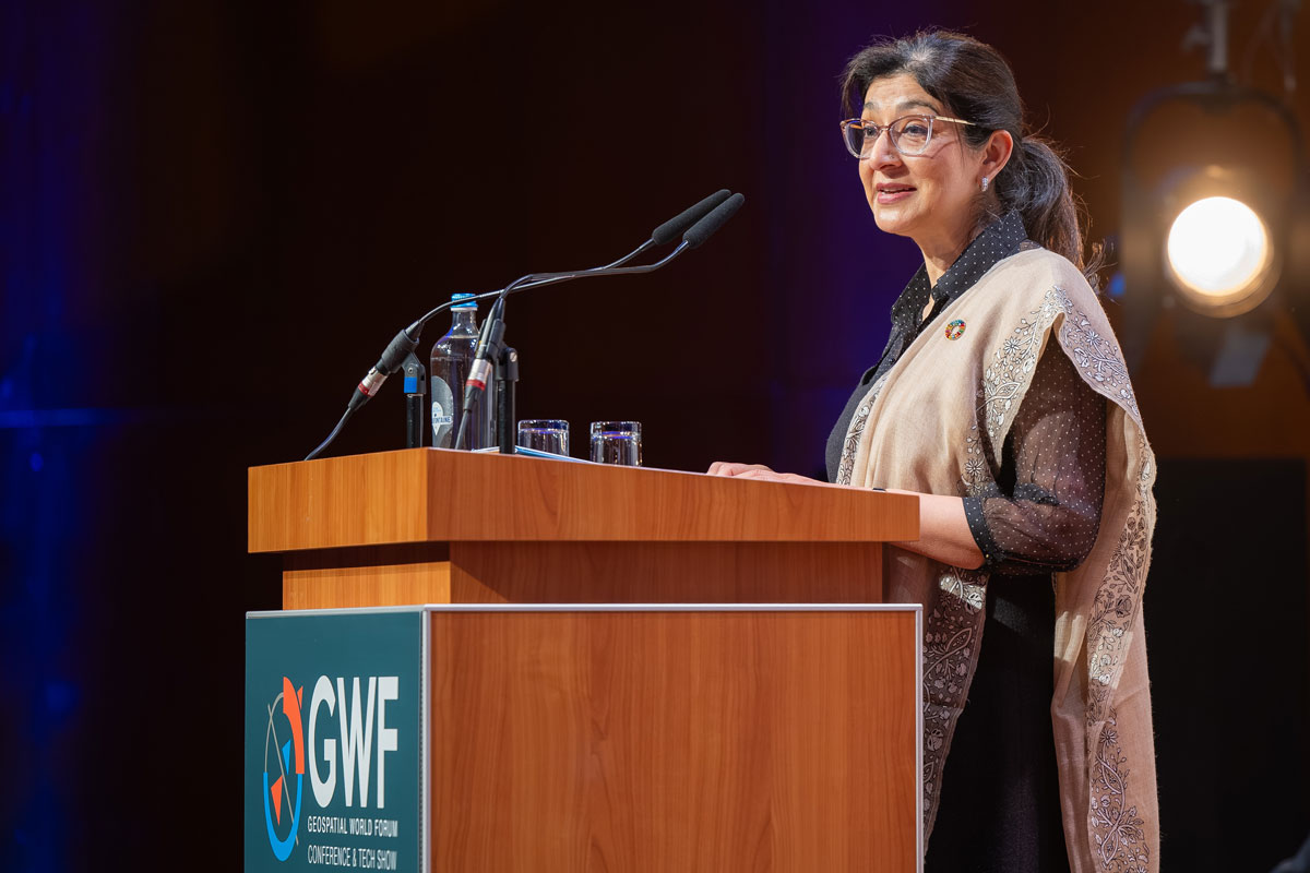




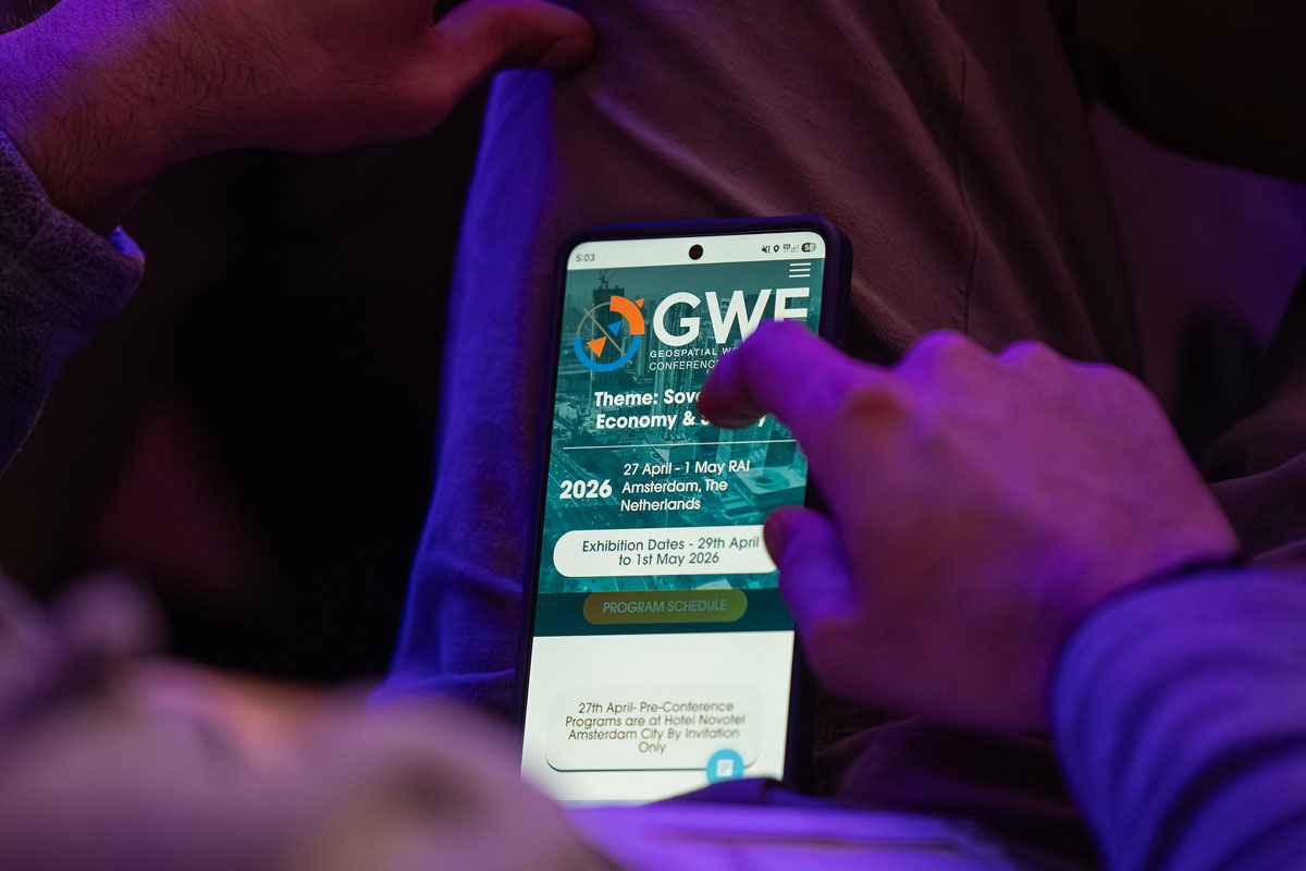

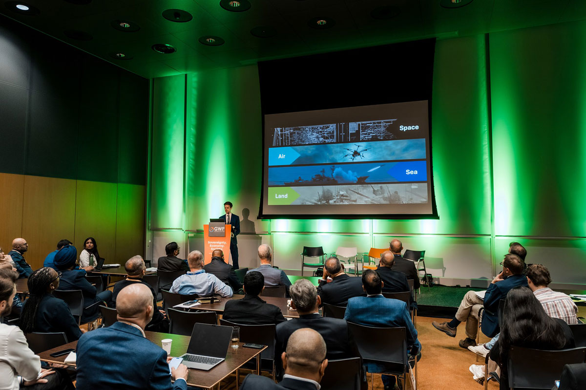
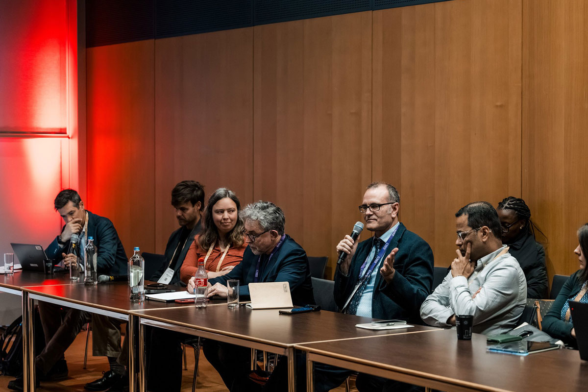


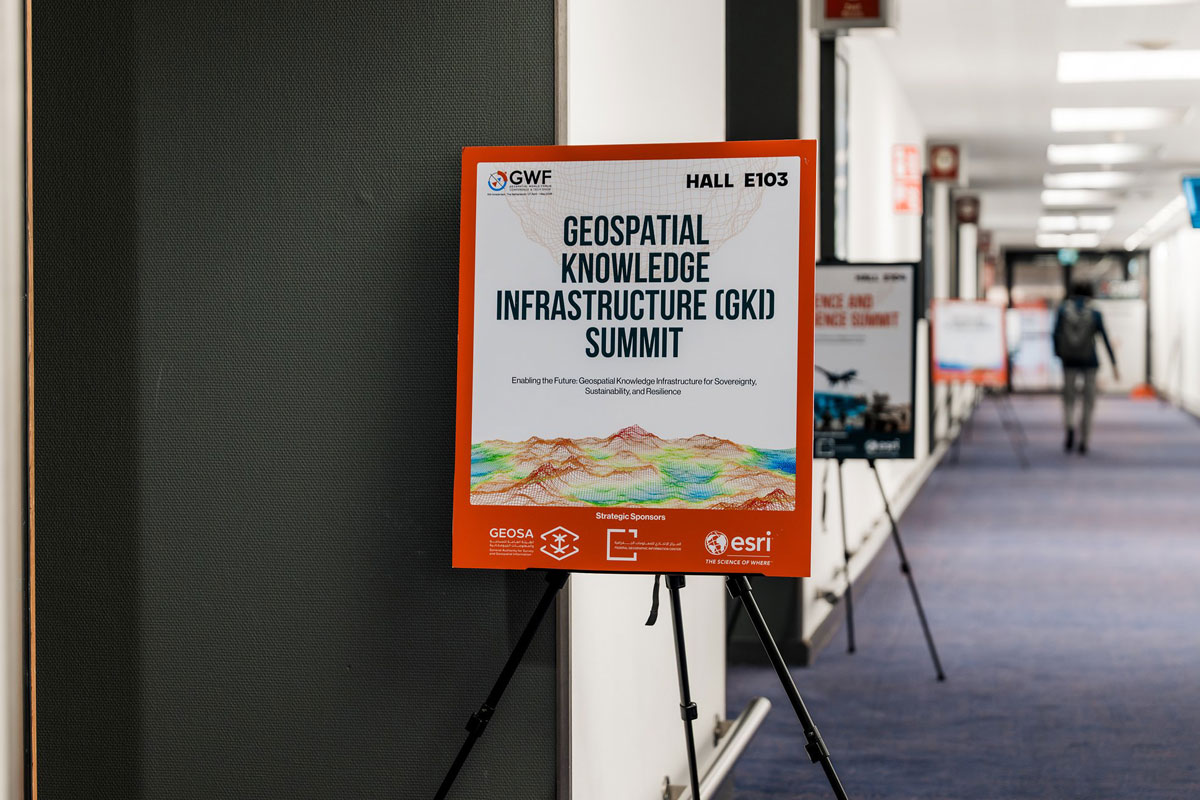



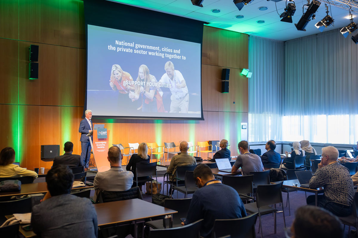
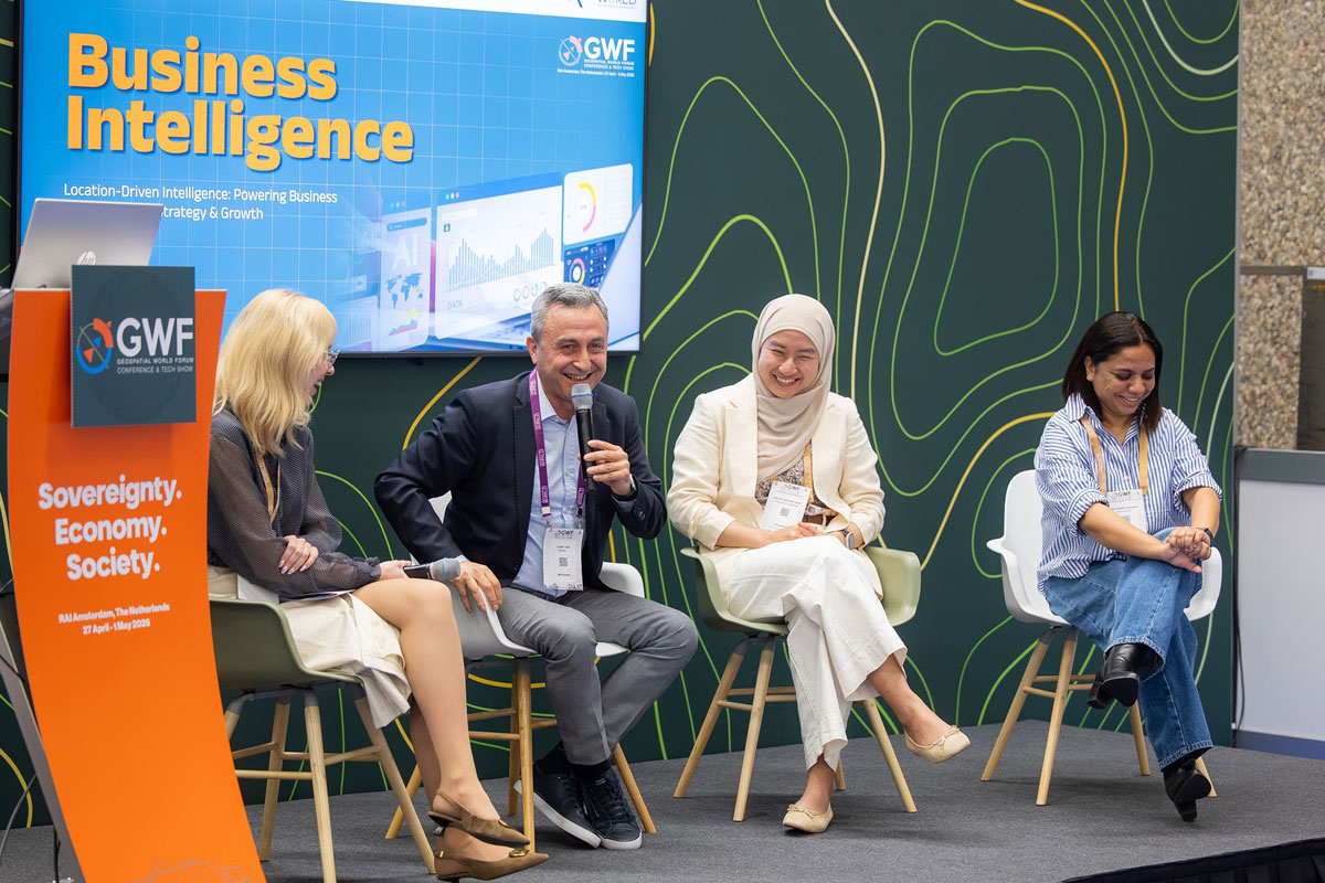
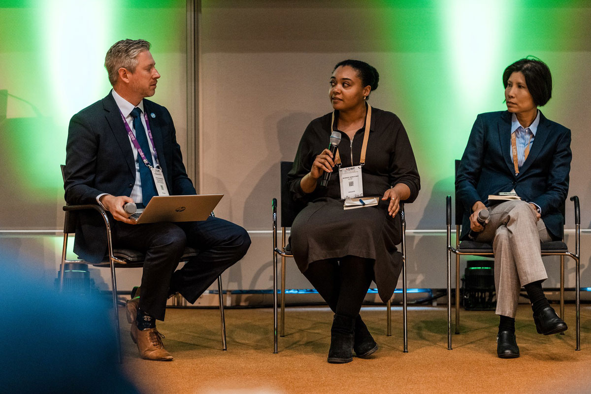
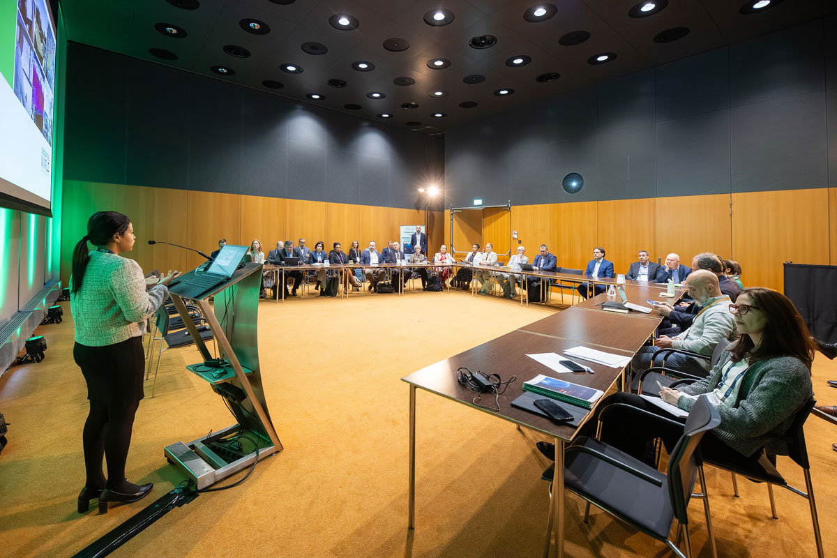


Discover how the global geospatial community engaged, shared insights, and amplified the impact of GWF 2026 across social media platforms.
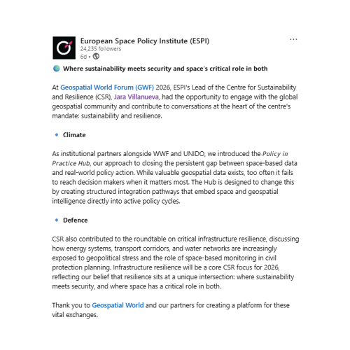
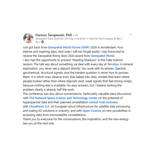
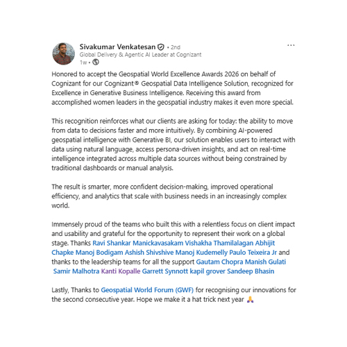
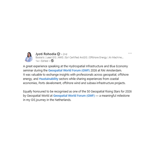
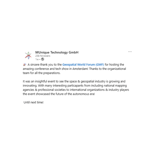
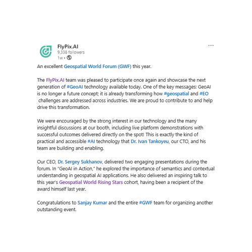



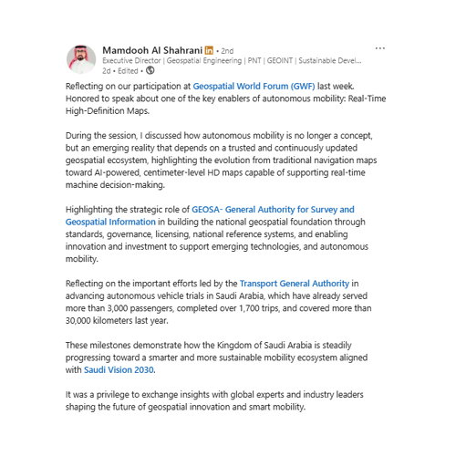
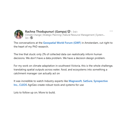
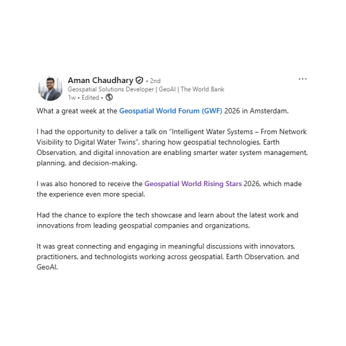
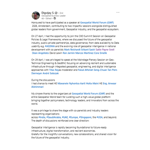
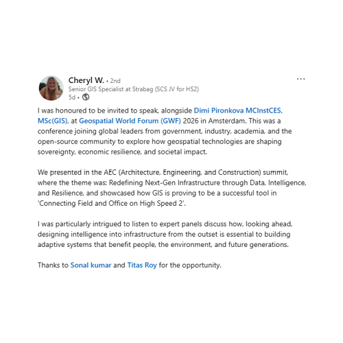
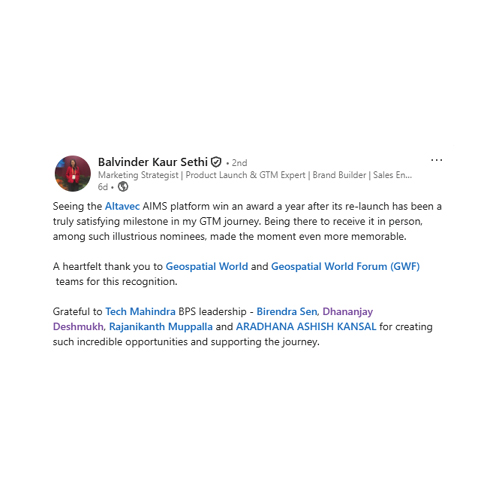


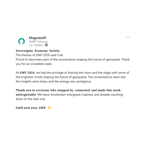
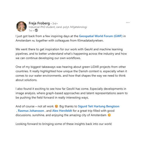
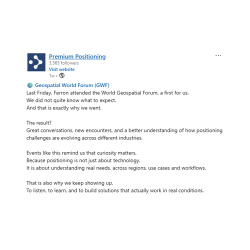
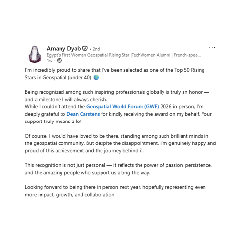

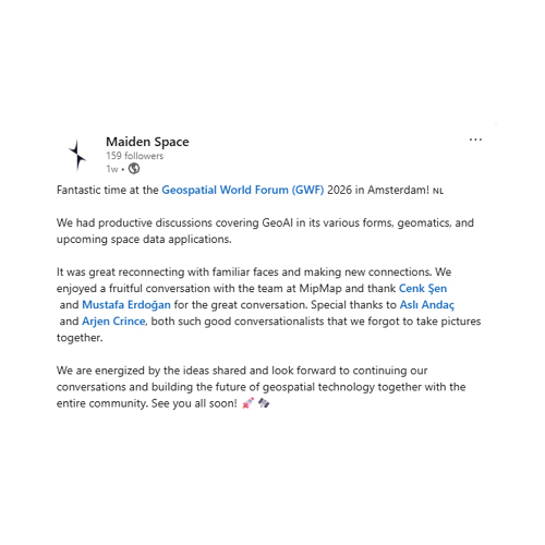

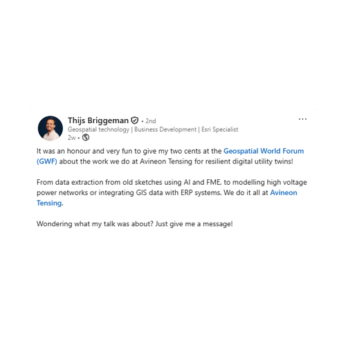
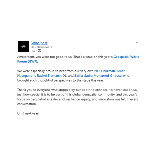
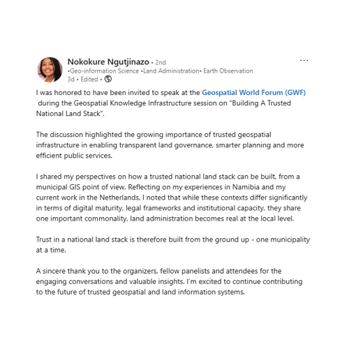
Insights from industry leaders and experts shaping the future of geospatial innovation and its real-world impact.

Geography is never neutral; it carries history and, in many cases, deep inequality. In South Africa and across much of the Global South, space was shaped by systems of dispossession and exclusion. Democracy marked an important turning point, but not an endpoint—because political freedom alone does not resolve spatial injustice. Land reform is therefore not just administrative; it is a programme of redress rooted in spatial justice and constitutional responsibility. Geospatial capability is fundamental to this transformation, enabling us to rebuild systems that restore access, opportunity, and inclusion. True governance begins with knowing our territory—spatially, socially, and economically.
Mzwanele Nyhontso Minister of Land Reforms and Rural Development, Republic of South Africa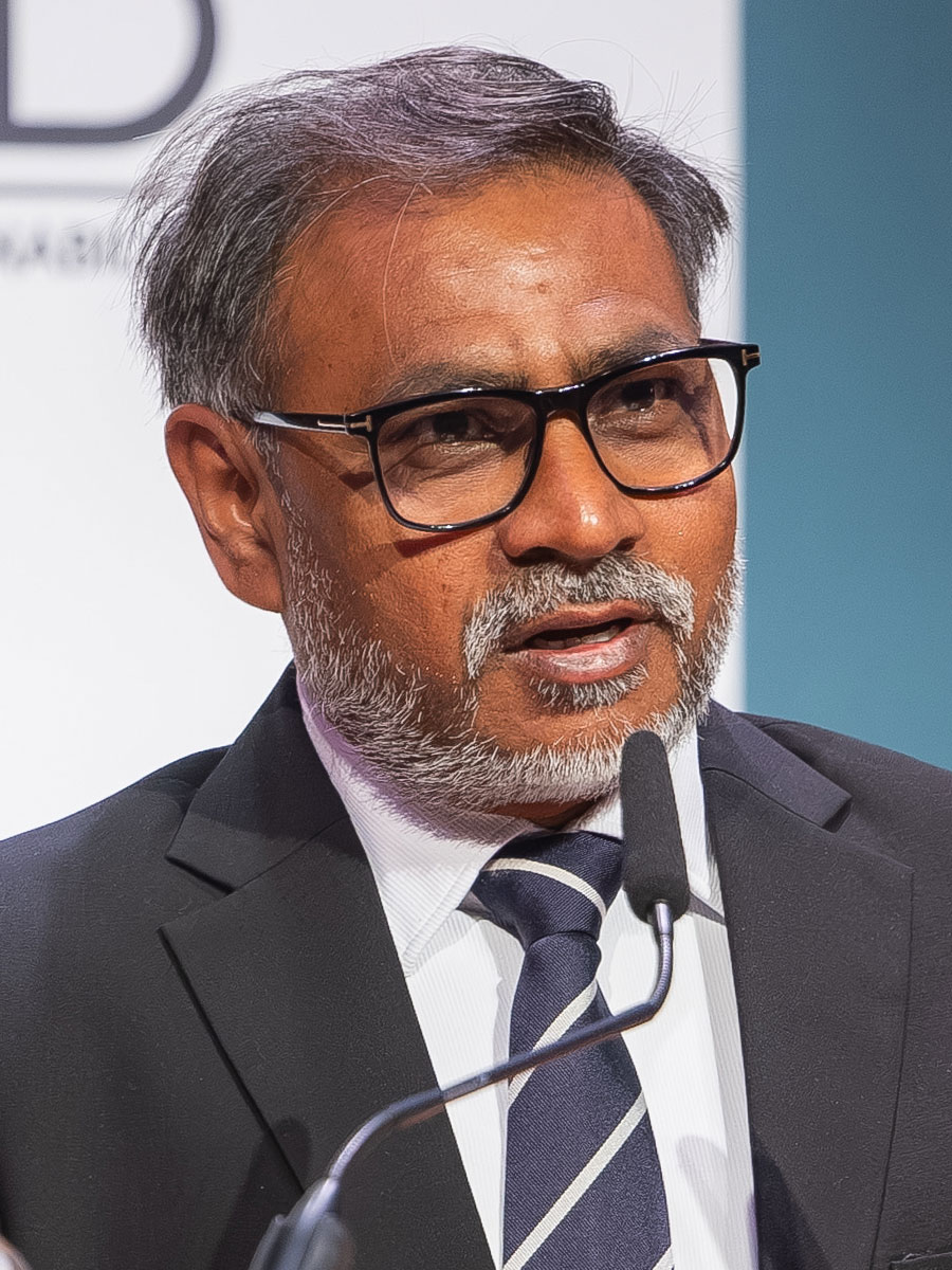
Geospatial industry is projected to reach $1.3 trillion by 2030, growing at 14–15% annually, driven largely by sovereign infrastructure,“Geography has always shaped civilization, and today it has evolved into a powerful geospatial ecosystem at the core of geoeconomics and geopolitics. In the Fourth Industrial Revolution, geospatial is no longer an enabler but fundamental infrastructure. The future of autonomy and robotics will rely on real-time 3D and 4D systems where maps are continuously created and consumed. Governments are shifting from regulators to facilitators, as digital twins and sovereign capabilities define competitiveness.
Sanjay Kumar Chief Executive Officer, Geospatial World
Digital sovereignty is no longer an abstract concept but a practical necessity in today’s real-time world. Continuous, reliable and high-quality geospatial information is the backbone of evidencebased policymaking, shaping everything from real estate to public services and economic activity. As custodians of public registers, our responsibility goes beyond access; it is about trust, transparency and accuracy. Sovereignty means having control over data and reducing critical dependencies while safeguarding public trust and the rule of law. It does not mean isolation, but smarter collaboration built on shared values, resilience, and ethical innovation anchored in privacy, transparency and accountability.
Cora Smelik Member of the Executive Board, Kadaster, The Netherlands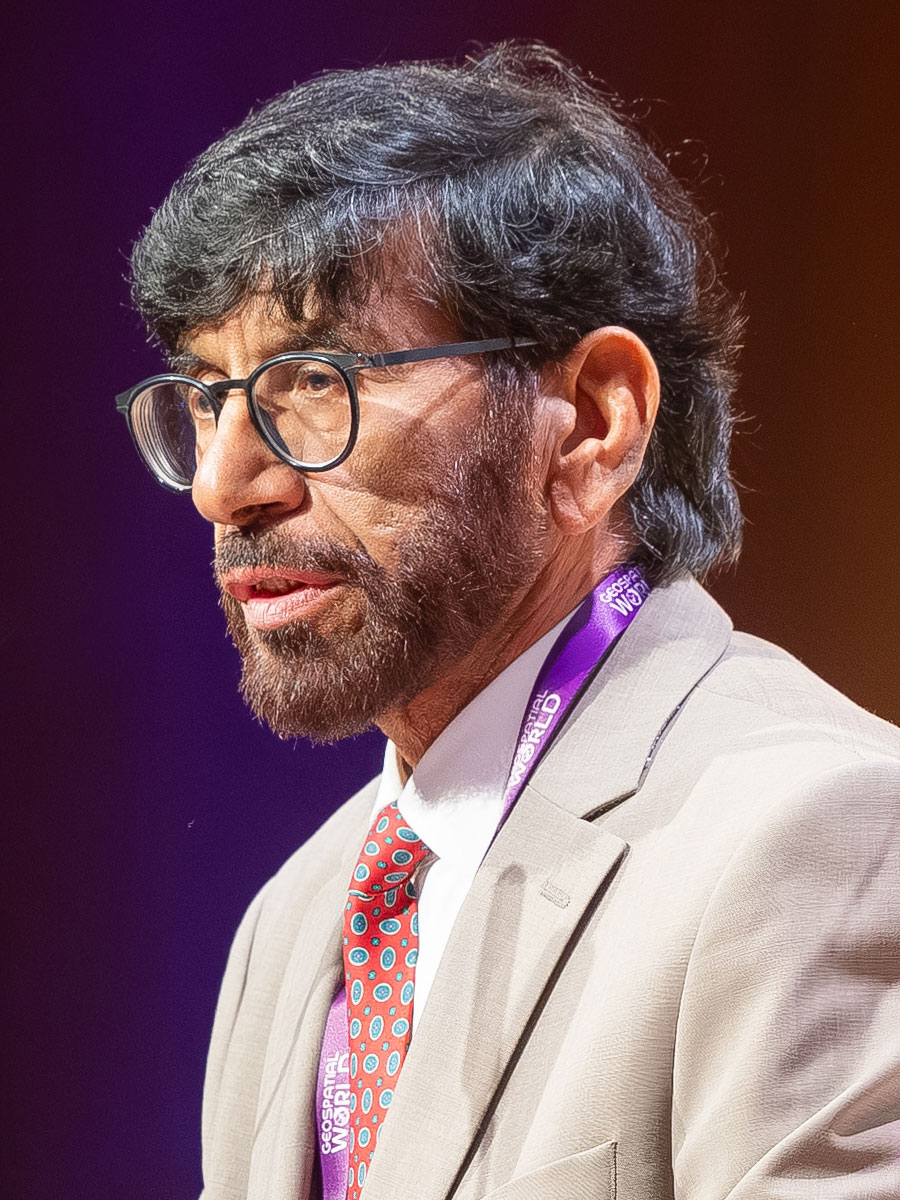
I emphasized that geospatial infrastructure is no longer a supporting layer but core national infrastructure—on par with energy, finance, and connectivity. Nations that take ownership of their geospatial foundations, data, systems, and platforms gain an advantage that extends beyond technology into governance, resilience, and national capability. For the UAE, our focus has been on building coherence through trusted national reference data, unified platforms, and strong governance ensuring interoperability and accountability. When geospatial systems are integrated and reliable, they transform how governments plan, respond, and serve citizens—strengthening long-term national vision through continuity and commitment.
H.E. Gen Khalifa Al Romaithi Chairman, FGIC, United Arab Emirates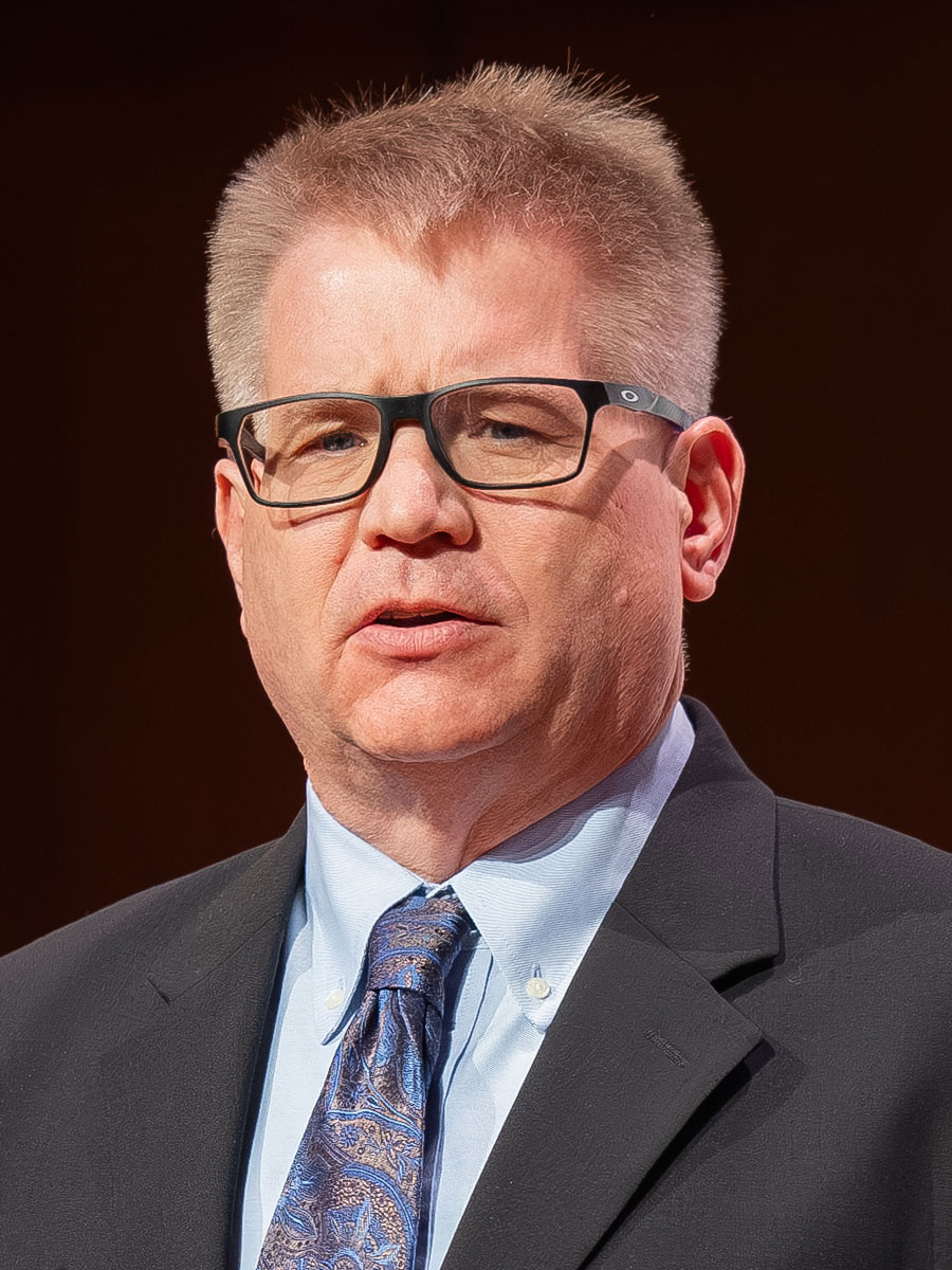
GIS is no longer just about maps. It is about understanding how the world works and how decisions are made within it. We have moved from building maps from scratch to working in a world where data already exists globally and is constantly evolving. GIS now scales from local projects to enterprise systems and into integrated spatial ecosystems that drive decisions across domains. Whether sovereign systems focused on control or cloud-native, AI-driven platforms, the direction is the same more dynamic, more intelligent, more connected. At its core, GIS remains what it has always been: a way to help humans understand the world.
Damian Spangrud Managing Director at Esri, USA
Despite thousands of satellites orbiting Earth and generating vast amounts of data, the benefits of space infrastructure remain deeply uneven. We are not facing a scarcity of information, but an imbalance in how it is used—this is a governance gap, a capacity gap, and ultimately a sovereignty gap. Governments are surrounded by data yet often unable to convert it into decisions. The future depends on three shifts: trusted data with integrity and provenance, inclusive capability that turns technology into public value, and a mindset that embraces collaboration and shared responsibility. The true measure is not ownership, but resilience and lives protected.
Aarti Holla-Maini Director, United Nations Office for Outer Space Affairs (UNOOSA), Austria
The ocean is not static—it is dynamic, interconnected, and constantly evolving. Building effective hydrospatial infrastructure requires integrating bathymetry, environmental conditions, marine ecosystems, and human activity into a unified geospatial knowledge framework that enables informed, sustainable, and data-driven global decisionmaking.
Dean Angelides Managing Director, International, Esri, USA
Geospatial systems are no longer about isolated datasets; they are becoming integrated intelligence ecosystems serving multiple end users—from crisis management to food security and urban resilience.
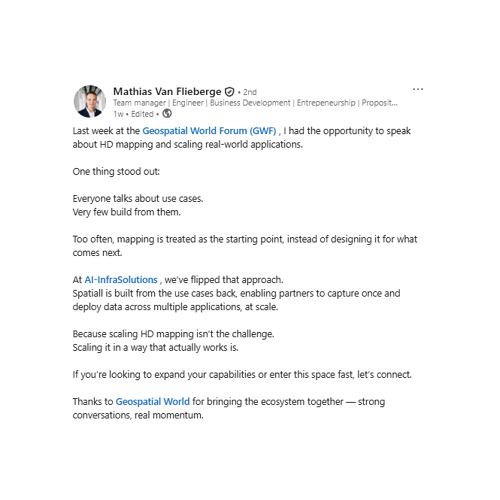
Jeroen Zanen CEO, Al InfraSolutions, The Netherlands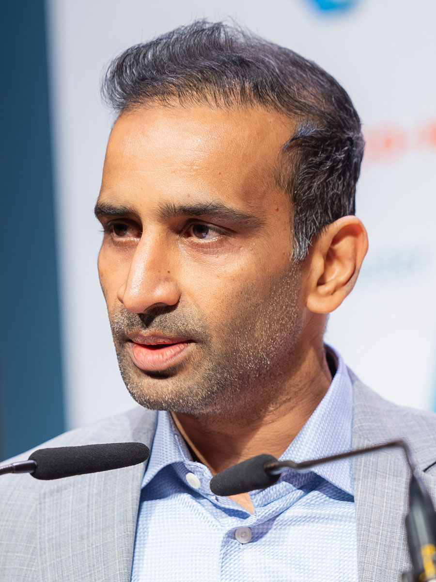
From pixels to decisions, we are building Earth intelligence by integrating satellite constellations, multi-source data, and AI into a fullstack ecosystem powered by ‘Earth Memory’—a living model of the planet that transforms data into actionable, automated decisions at scale for businesses, governments, sustainability, and resilient global operations.
Vishal Thiruvedula Vice President, Product, SatSure, India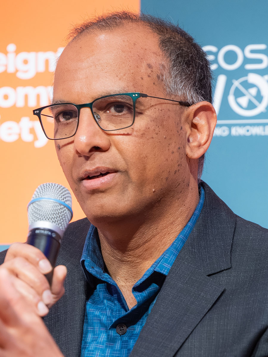
The industry is entering a new phase driven by AI agents and autonomous systems, where the key governance challenge is ensuring human oversight and accountability as geospatial operations become increasingly automated.
Siva Ravada Vice President, Oracle, USA
We need checks to ensure data is high quality, usable, and fresh. The real challenge is not just collecting data, but broadcasting, validating, and sustaining it at speed. As we move from strategy to execution in GeoAI, infrastructure and operational discipline become critical.
Garrett Synnott Senior Director, Cognizant, USA
In today’s interconnected world, sovereignty cannot be achieved in isolation. It requires deliberate and sustained strategic alignment between all the stakeholders.
Joao Bentes Head of Institutional Affairs, GEOSAT, Portugal
AI is transforming maps from static representations into intelligent, immersive systems, where spatial data, imagery, and realworld context converge to power navigation, mobility, and enterprise intelligence.
Miriam Daniel VP & GM, Google Maps, USA
We need common frameworks and shared schemas that reduce duplication and enable a truly connected mapping ecosystem through interoperable geospatial standards and unique identifiers.
Will Mortenson EdD , Executive Director, Overture Maps Foundation, USA
Space is shifting from launching satellites to building a resilient, servicedriven infrastructure for Earth. Because no single nation controls the full space value chain, interoperability is essential. The future rests on continuity, resilience, and interoperability— creating a connected, intelligent orbital network that improves decisions and helps sustain our planet.
Dr. Motoyuki Arai CEO, Synspective Inc. Japan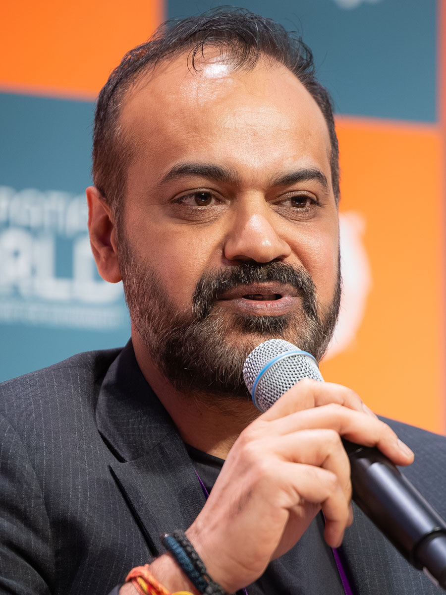
In applications from microlending to utilities, the true value of HD maps and VPS lies in precision and not approximation.
Birendra Sen President, Business, Process Services, Tech Mahindra, USA
The shift is not about removing HD maps. It is about changing the economics of how maps are created, maintained, and scaled.
Mike Gilbert VP Product Management, TomTom, Netherlands
Countries want to have their entire endto-end solution within their organization. If I want to be sovereign, I need to own the source code. I need to own the satellite.
Abhay Mittal CEO, Aetosky, Singapore
Geo-information is no longer a niche. It has become part of critical workflows, digital twins, machine-driven systems, and national decision-making infrastructures.
Paul Becker President (Retd.), Federal Agency for Cartography and Geodesy, Germany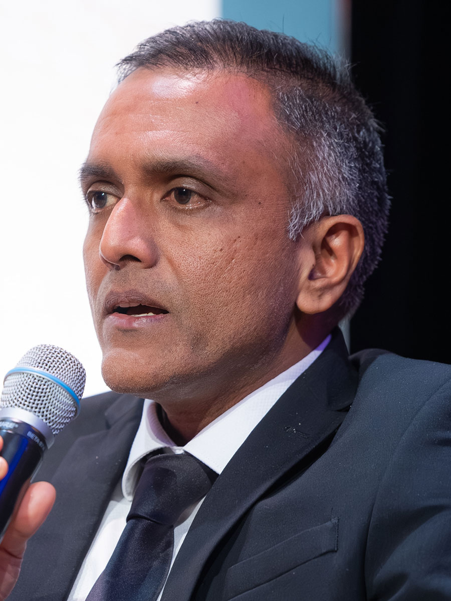
The rise of platform-driven geospatial ecosystems, where interoperable digital architectures and integrated software systems are essential to operationalize geospatial intelligence at scale across sectors.
Avinash M.V. Senior Vice President, DSM Soft, India
We are investing billions to understand the moon while we still know remarkably little about our oceans, which regulate climate, generate oxygen, absorb excess heat, and sustain life on Earth. Without large-scale ocean data, governments are making critical infrastructure and climate decisions without the baseline intelligence required for resilience and sustainability.
Mark Heine CEO, Fugro, The Netherlands
We are increasingly faced with competing societal demands for the same scarce physical space—housing, agriculture, infrastructure, and nature. Geospatial intelligence is powerful, but its impact is limited when delivered as fragmented data rather than integrated solutions.
Friso Penninga Director, Geonovum, The Netherlands
Hydrospatial infrastructure cannot be treated as an isolated technical system because oceans transcend national borders. True progress depends on globally harmonized standards, interoperable data models, and international cooperation. A navigator anywhere in the world must rely on consistent, trusted marine information regardless of jurisdiction or geography.
Jonathon Pritchard Senior Technical Manager, IIC Technologies
As AI, digital twins, and adaptive data move beyond experimentation, the focus is now on scale, execution, and realworld impact. These systems are already being deployed across global operations, not just conceptualized.
Mats Hultin Former CIO at Ericson and Board Member, JSAN Consulting Group
Dive into our most recent insights, trends, and expert opinions shaping the future of the geospatial industry.