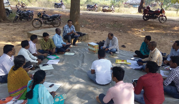
Strengthening Community Governance
Interoperable ecosystem that fosters accountability, convergence, transparency, and collective ownership.



Geospatial Technology is reshaping rural development by converting dispersed datasets into coherent, actionable intelligence. As rural programmes expand in scale and complexity, the need for accurate, interoperable and real-time geospatial information has become foundational. From land, water and agriculture to infrastructure and public services, geospatial technologies offer the precision and visibility needed to plan effectively, reduce uncertainties and strengthen on-ground implementation.
The Geospatial Knowledge Infrastructure (GKI) elevates this capability by providing a unified, knowledge-first framework that integrates data, analytics and workflows across institutions. It enables rural systems to move beyond siloed, map-centric operations toward coordinated, evidence-based decision-making. In doing so, GKI becomes a strategic enabler of inclusive, resilient and future-ready rural development, anchoring governance in shared intelligence and fostering more transparent and aligned action across stakeholders.
Interoperable ecosystem that fosters accountability, convergence, transparency, and collective ownership.
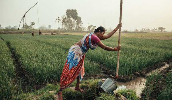
GKI integrates geospatial data and analytics into a single, evidence-based intelligence system for farmers and communities.
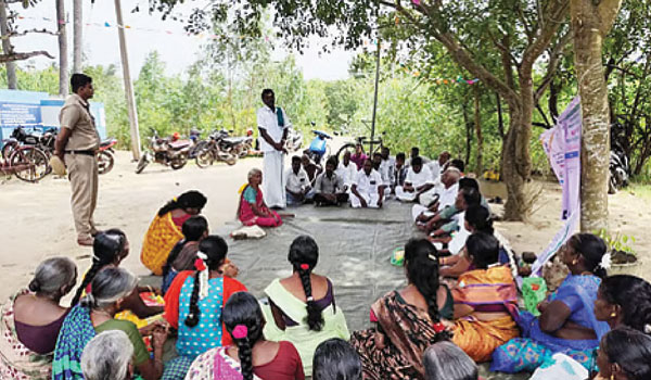
A Panchayat-focused GKI creates a shared geospatial information network that enables rural governments, industry, and civil society to collaborate seamlessly.
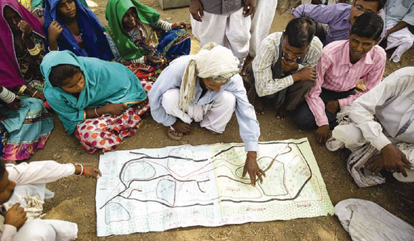
Geospatial technologies enable communities to map and legally secure rights over shared landscapes through accurate, verifiable Commons registries.
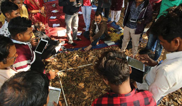
Integrating geospatial and scheme data to expand livelihoods, improve resource planning, and strengthen accountable, resilient governance.

Hydrological data, geospatial platforms, AI, and stakeholders unite in a network to drive real-time water insights and coordinated action.

Geospatial data and collaborative platforms empower communities, institutions, and researchers to secure forest rights, monitor biodiversity, and manage resources sustainably.
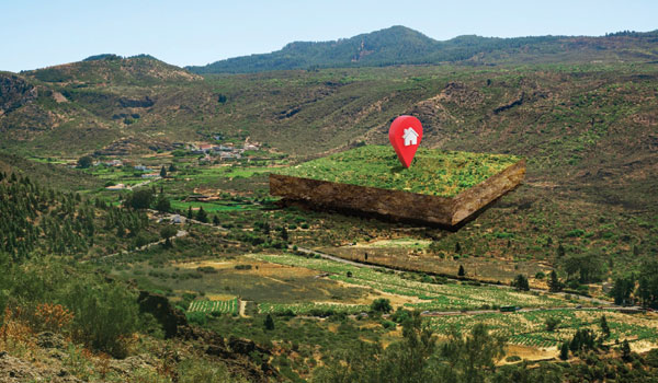
Geospatial technologies and unified platforms enhance land governance by clarifying boundaries, securing rights, and enabling sustainable land-use planning.
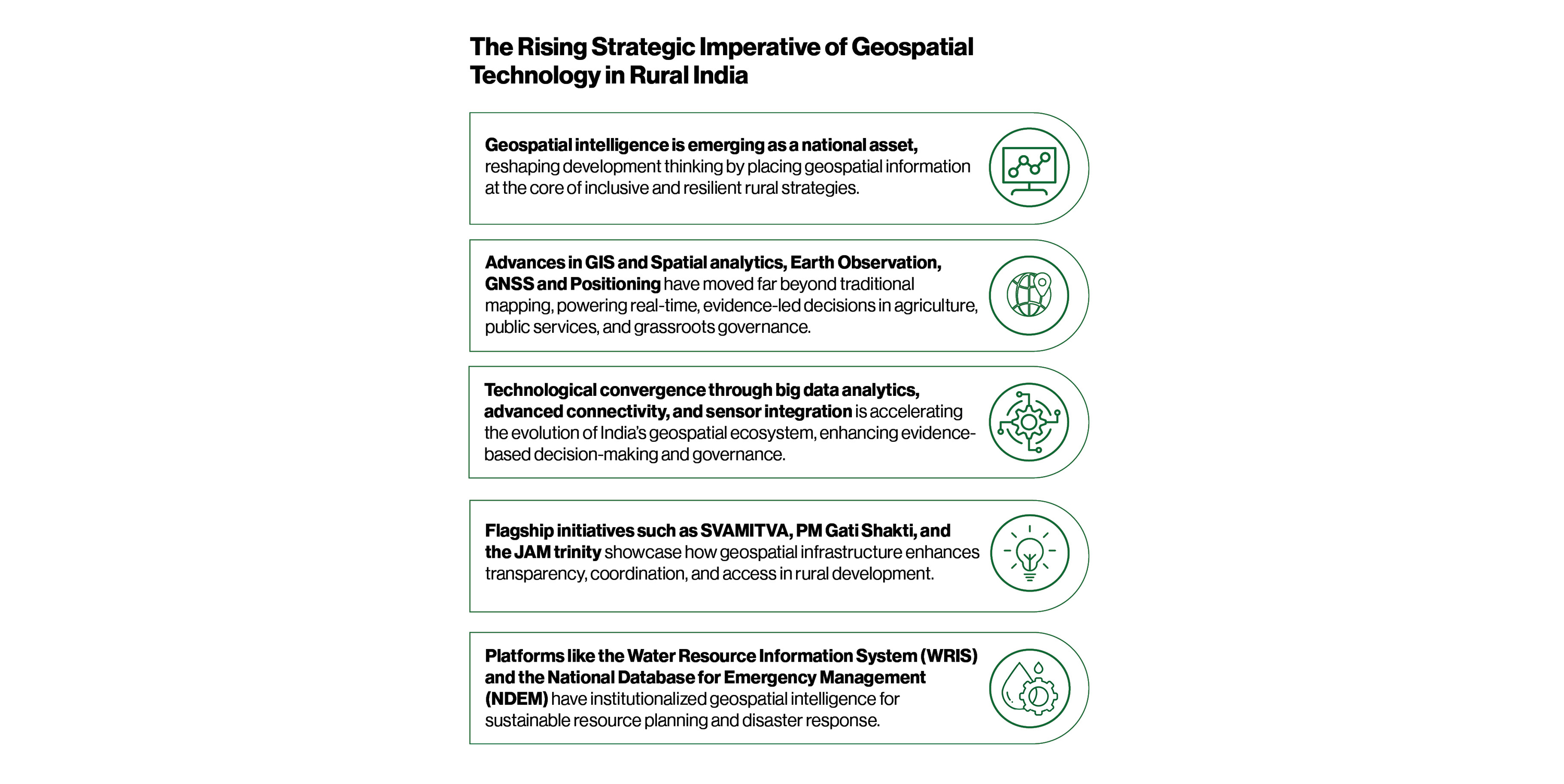
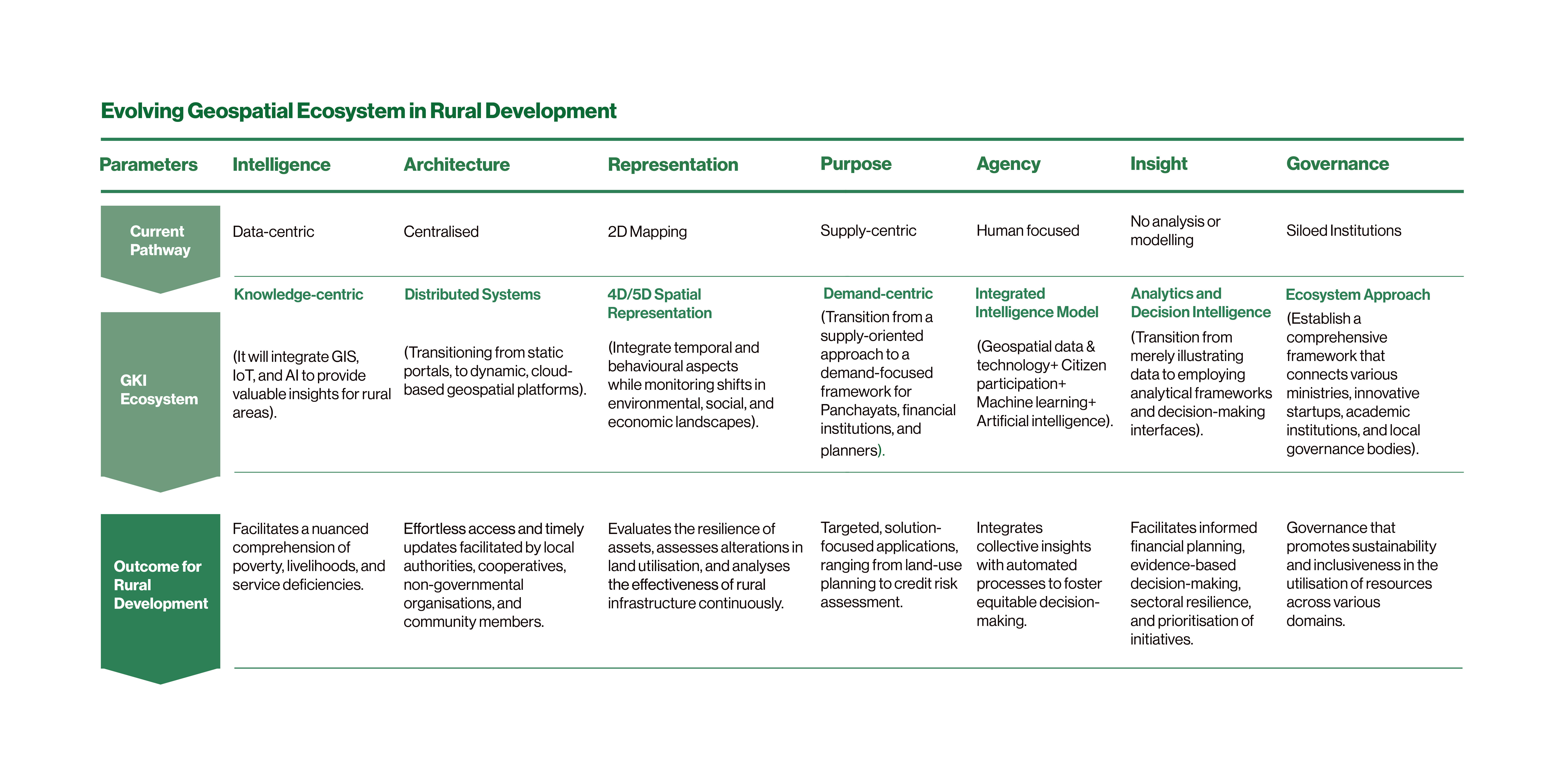
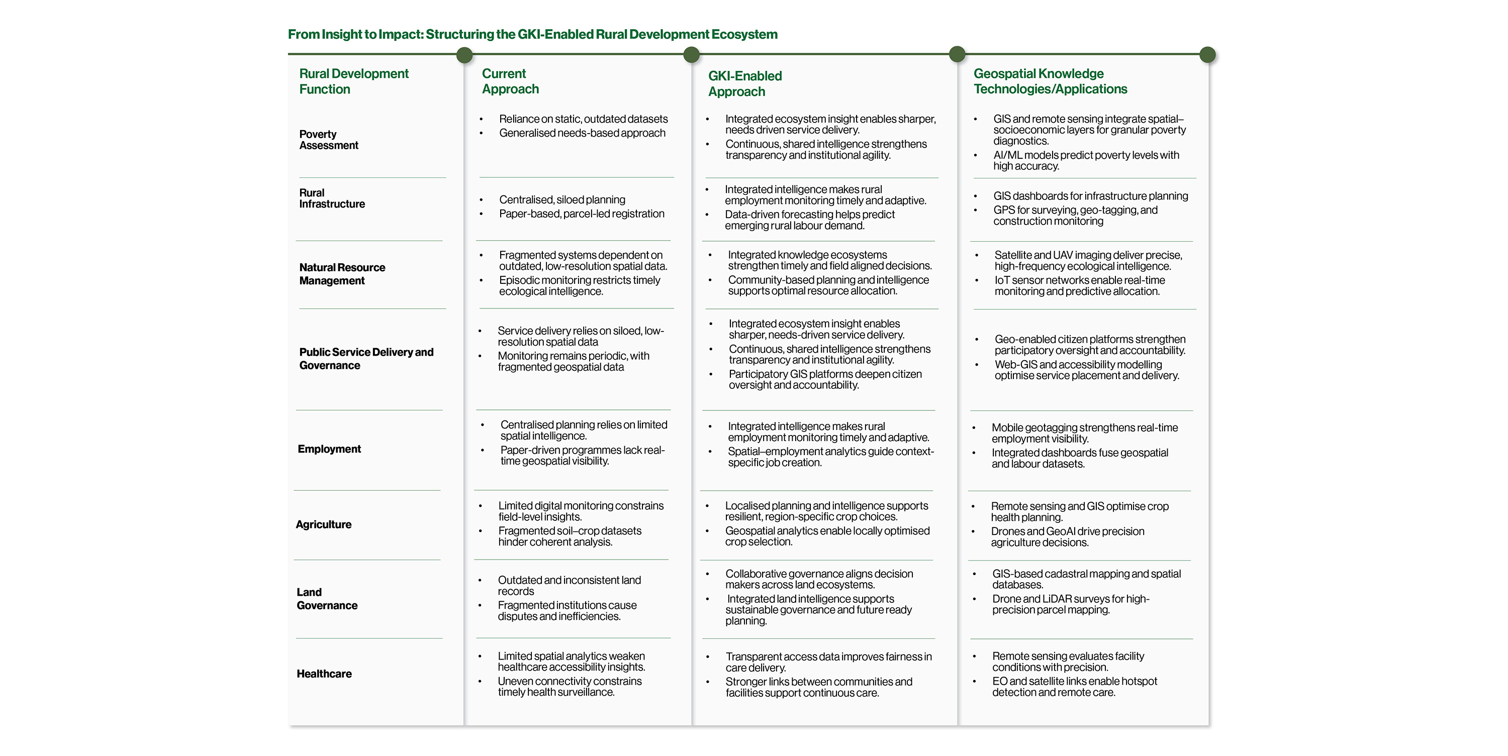
Rural development in India is constrained by information gaps, siloed systems and uneven visibility into land, water, and infrastructure assets. Geospatial Technology and GKI offer the paradigm shift needed to overcome these challenges by enabling:
This report demonstrates that GKI is not merely a technology deployment, it is a governance transformation that redefines how rural programmes are designed, monitored and scaled. With strong policy momentum, expanding data infrastructure and rising institutional demand for precision, India is uniquely positioned to embed GKI at the heart of its rural development strategy and accelerate its journey toward resilient, inclusive and future-ready rural growth.

Samarth Hans
Director – Projects
Geospatial World
Email: [email protected]