Speakers
Plenary
Alexandre Caldas
Chief - Early Warning and Data Analytics Branch
United Nations Environment Programme
Kenya

Carmen M Aguilera
Market Development Officer for Transport
European Union Agency for Space Program
Czech Republic
Dato' Lsr Hazri Bin Hassan
Director General
Department of Survey and Mapping (JUPEM)
Malaysia
Dr Sim Choon Cheak
Head of Plantation Research & Advisory
SD Guthrie Research Sdn Bhd
Malaysia

Guenther Landgraf
Head of Digital Platforms
European Space Agency
Italy
Kanti Kopalle
VP, Intuitive Operations and Automation
Cognizant
The Netherlands
Lee Schwartz
Former Geographer
US Department of State
USA
Lena Halounova
President
International Society for Photogrammetry & Remote Sensing (ISPRS)
Czechia
Lorant Czaran
Scientific Affairs Officer
UNOOSA
Austria

Motoyuki Arai
Chief Executive Officer
Synspective
Japan
Motoyuki founded Synspective in 2018. As the CEO, he leads Synspective's mission, overall strategy, and operations. He began his career working at the Tokyo office of a US-based consulting firm for five years and helped more than 15 global companies design new business and technology strategies to improve corporate governance and internal controls. He received his PhD in Technology Management for Innovation from the University of Tokyo, then implemented his knowledge of business development to lead projects in areas such as energy, water and sanitation, agriculture, and recycling in Saudi Arabia, Bangladesh, Laos, Cambodia, Kenya, Tanzania, and Japan.
Paul Holthus
Founding President and Chief Executive Officer
World Ocean Council
USA
Paul is founding Executive Director of the World Ocean Council. He works with the private sector and market forces to develop practical solutions for achieving sustainable development and addressing environmental concerns, especially for marine areas and resources. He has been involved in coastal and marine resource sustainable development and conservation work in over 30 countries in Europe, Asia, the Pacific, Central America and Africa. As a consultant on sustainable development and environmental management, he has worked with companies, industry associations, UN agencies, international NGOs and foundations on sustainability, especially in the areas of oil/gas, fisheries, aquaculture, standards and certification.
Rolando Ocampo
Director of the Economic Commission
Latin America and the Caribbean (ECLAC) Statistics Division
Chile

Sanjay Nekkanti
Chief Executive Officer
Dhruva Space
India
Sanjay Nekkanti is the CEO and founder of Dhruva Space, a full-stack Space-Engineering solutions provider. Under his leadership, Dhruva Space has become a key player in India's rapidly growing Space ecosystem, delivering cutting-edge Space engineering solutions for both Commercial and Government clients. Sanjay's career spans a diverse range of significant projects, including India's first student-built nanosatellite project, SRMSAT, launched in 2011, as well as the 2013 Velox-P mission, a collaborative initiative between India and Singapore.
Nekkanti has a Bachelor's degree in Electronics & Telecommunication Engineering from Sri Ramaswamy Memorial University, Chennai. He is also an EGIDE scholar, and has two Master's degrees; one in Space Technology and the other in Spatial Techniques & Instrumentation from Europe, through the Erasmus Mundus SpaceMaster programme.
Owing to Dhruva Space's achievements, Sanjay has been featured in Fortune India's 40 Under 40 in 2022, Forbes India DGEMS 200 for 2023, and as Startup Story's Founder of the Year 2024, and Dhruva Space has been recognised with two Government of India awards: the National Startup Award by the Government of India for its efforts in Satellite and Space Technology, and the Pandit Deendayal Upadhyaya Telecom Skill Excellence Award 2022, instituted by the Ministry of Communications, for Dhruva Space's work in the field of Satellite Communications.
Siva Ravada
Vice President
Oracle
USA
Dr. Siva Ravada serves as Vice President of Development at Oracle Corporation. In this role he is responsible for development of the spatial and graph technology at Oracle. Oracle's spatial database server and related geospatial offerings are used across a wide range of applications from traditional GIS/LIS applications to business geographic applications providing location based services.
Dr. Ravada works with many national agencies to help them define the architecture for their spatial data systems and help them guide in their implementation of spatial data platform. He is a member of program committees of several international conferences to serve the broader communities of spatial databases, Geographic Information Science and spatial computing.
Dr. Ravada is an author and contributor to numerous geospatial publications, and he holds over 40 patents in geospatial technology.
Dr. Ravada received a Ph.D. in Computer Science from the University of Minnesota, a M.S. in Computer Science from the University of Maryland, and a B. Tech. in Computer Science & Engineering from Andhra University, India.
Sohail Elabd
Director International Strategies
Esri
USA
Sohail Elabd is the Director International Strategies at Esri Inc. As an expert in Geospatial Technology, Elabd brings over 28 years of experience in driving National Government GIS strategies, Partnerships & Alliance, and Business Development across Emerging Markets in the Middle East, Central Asia & Africa.
Being goal oriented, Elabd envisioned GIS Nationwide implementations in many countries in the Middle East & Africa region. Elabd has experience in GIS Applications for Safe Cities, Smart Cities, Land Administration, and Government Solutions among others.
Having assumed leadership roles for Tier 1 US organizations such as Esri, Elabd is an insightful and principled character, with high work ethics and performance levels. His strong general management skills are based on "People First" philosophy.
Elabd is a holder of 2 degrees in Engineering and GIS; Namely a B.Sc. of Civil Engineering from Alexandria University in Egypt, and a M.Sc. of Information Technology from Nottingham University in the UK.
Srikant Sastri
Chairman
i3g Advisory Network and Geospatial Data Promotion & Development Committee (GDPDC)
India
Industry

Abhyudaya Saxena
Asst Vice President - Data Operations
Aereo
India
Adriano Meta
CEO
Metasensing
Italy
Dr. Adriano Meta is the CEO and founder of MetaSensing, a company he established in 2008 with the support of the European Space Agency. MetaSensing specializes in the development and commercialization of compact, high-performance, and high-resolution airborne and satellite Synthetic Aperture Radar (SAR) sensors and services.
Dr. Meta holds a Laurea degree in Telecommunication Engineering from the University of Rome "La Sapienza" (2002), and earned a Ph.D. cum laude from Delft University of Technology (TU Delft), Netherlands, in 2006. Between 2002 and 2006, he conducted research at the International Research Centre for Telecommunications and Radar (IRCTR) in Delft. He also pursued postgraduate studies at the Aerospace School of the University of Rome "La Sapienza."
From 2006 to 2008, Dr. Meta worked at the Microwaves and Radar Institute of the German Aerospace Center (DLR) in Oberpfaffenhofen, Germany. During this time, he contributed to the commissioning of the TerraSAR-X satellite and played a pivotal role in the development of advanced processing techniques for digital beamforming and multichannel radar systems.
Since founding MetaSensing, Dr. Meta has led the company to become a globally recognized player in airborne and satellite SAR technology. Under his leadership, MetaSensing has driven a wide array of technological and commercial advancements across mapping, security, and space projects and programs.
Amar Nayegandhi, CP, CMS, GISP
Global Head of Technology and Innovation: Geospatial Sector Leader
Woolpert
USA

Andy Bell
SVP Product Management
Precisely
UK
Andy Bell is Senior Vice President of Global Data Product Management at Precisely, responsible for the global data portfolio. Andy has accumulated a wealth of experience over 30 years in data and analytics, leading teams involved in product development, data science and analytics and GIS. He has previously worked for GlaxoSmithKline and CallCredit instigating a number of innovative data developments as well as new ways of applying data and insight to new market problems. Andy is currently driving the data strategy at Precisely, identifying and developing new and innovative data products.

Antonio Hernandez
Business Development Manager
GEOSAT

Asim AlGhamdi
Assistant President
GEOSA
Saudi Arabia

Ayushi Mishra
COO
DronaMaps
India
Carlos Fernandez de la Pena
Chief Executive Officer
Telespazio Iberica
Spain
Daniel Perez
Data Scientist
Geotab
Spain
Daniel is an experienced data scientist with a master's in signal theory (telecommunications). He accounts for 10 years of professional experience in different IT fields, working on companies ranging from impactful seed-phase startups like Ketekelo to global companies like BASF, and now as part of the Geospatial team at Geotab. Daniel's main focus at Geotab is Geospatial ML modeling, but he also takes care of the whole product lifecycle of a good portion of Geotab's geospatial product backbone.

Dave Urness
Senior Product Manager
Google
Canada

Dean Capobianco
Chief Executive Officer (CEO)
Geoscape
Australia
Dr Gopika Suresh
Chief Strategy Officer (CSO) and Co-Founder Head of Products and Strategy
Marble Imaging
Germany
Dr. Gopika Suresh is an Earth Observation scientist with over 14 years of experience developing complex methods to extract information from EO data. She holds a PhD in Marine geosciences from the University of Bremen, Germany, MSc from the Technical University, Munich and a B.Tech from the University of Kerala, India. She is co-founder, CSO and head of the products team at Marble Imaging. She was a scientist at the German Federal agency for Cartography and Geodesy & German Aerospace Center, lectured at the Frankfurt University of Applied Sciences and did her postdoc at the Earth Observatory of Singapore.
Dr Tuncay Kucukpehlivan
General Manager
Basarsoft
Turkey

Emlyn Hagen
Director Defense and Intelligence, Europe
NV5 Geospatial
Germany
Emlyn Hagen is the Director of Defense and Intelligence for Europe at NV5 Geospatial in Germany, specializing in geospatial solutions, defense technologies, and intelligence-driven decision-making for strategic operations.

Engelbert Berg
Sales Director EMEA & LatAm
Vexcel Imaging
Austria

Frederic Depuydt
VP for Geospatial Data Engineering
TomTom
Belgium
Guillermo Best
Technology Architect Manager
Oracle
Spain
Guillermo Best is a Technology Engineering Manager and is an experienced professional with a demonstrated history in the Information Technology space and a Master's degree in Director of Information Systems and Enterprise Technology.
Skilled in Applications Development, Multi-model Databases, Bigdata, DWH and Lakehouses; Business Intelligence, Security, Project Management and IT Strategy.
Guillermo Best have lead several .Com and Digital Transformation projects in Argentina, Brasil, Mexico, United States and Spain. Most of them were about implementing and migrating to new applications, technologies and cloud in favor to business competitiveness and agility. Industries like Bank/Finance, Telecommunications, Manufacturing, Retail and e-Commerce are the most I know, as well as Travel, Transportation, Health Care, Insurance and Public Sector.

Iain MacInnes
Senior Director EMEA
Synspective
UK
Iain MacInnes is the Senior Director, EMEA for Synspective, a leading provider and manufacturer of SAR Satellites, Imagery & Analytic Platforms. Joining the company in January 2025 he brings over 25 years of International experience within companies such as Maxar & PCI Geomatics to a role which is focused on growth & partnership development within the region. He holds a BSc from the University of Glasgow and an MSc in Environmental Remote Sensing from the University of Aberdeen (Scotland).

John Kedar
Director
John Kedar Geospatial Initiatives Ltd
UK

Jorge Gonzalez
Data Science Team Lead
Geotab
Spain
As the Data Science Team Lead of the Gesopatial data team for Geotab, Jorge Gonzalez brings eight years of expertise in vehicle data analytics. With a foundation as a Telecommunications Engineer and a Masters in Science in Artificial Intelligence, Jorge is adept at navigating the complexities of data quality and scarcity issues and helping clients interpret vast volumes of data effectively. With Geotab data, Jorge collaborated in safety analytics, GPS and cell coverage, engine status data availability and vehicle electrification among others.
Lee Braybrooke
Key Accounts & Alliances Director
Trimble
UK
Lee Braybrooke has been working in information management and data analytics for over 30 years. Now in his role as Key Accounts and Alliances Director for Trimble, Lee's focus is on championing the needs of today's multi-disciplined Geospatial customer, allowing those needs to inform the development of the ever expanding Trimble solutions portfolio.

Luke Seelenbinder
Founder & CEO
Stadia Maps
Estonia

Mark Abrams
Principal
EGS/RAFIKI
USA
Mark Cygan
Director - National Mapping Solutions
Esri
USA
Mark Cygan has been working in GIS and mapping since 1984. Today, he is director of Esri's National Mapping & Statistics Solutions, having been in Esri's Industry Solutions Group since 2005. Before that, he worked for nearly a decade as a senior consultant and project manager in Esri's Professional Services. Prior to joining Esri, Cygan was on the management team at NAVTEQ (now HERE), a pioneer in digital mapping for in-vehicle, web and mobile uses. Cygan is actively participating in the United Nations Committee of Experts on Global Geospatial Information Management (UN-GGIM) as a UN-GGIM Geospatial Societies board member (and past chair), is the executive secretary of the User Community of Geospatial Authorities and is on the board of directors of the International Map Industry Association (IMIA).

Mark Reichardt
Senior Consultant
Geospatial World
USA

Markus Handl
International Partner Management
RIEGL International GmbH
Austria

Matthew Pennells
Director for Global Community Engagement
Esri
UAE

Matthew Powers
Developer Advocate
Wherobots
USA

Mengchi Ai
R&D Team Lead
Micro Engineering Tech Inc.
Canada
Dr. Mengchi Ai is the R&D team leader in advanced navigation technologies at Micro Engineering Tech Inc. (METI) since 2024. She conducted postdoctoral research at the University of Calgary since 2022. She earned her Ph.D. in 2021 from the College of Surveying and Geo-informatics at Tongji University. With over 30 publications, including journal articles, conference papers, and patents, Dr. Ai brings more than 5 years of dedicated research experience. Her research interest including High Definition (HD) mapping, large language model (LLM) -aided semantic perception, sensor fusion-based positioning and navigation, LiDAR data processing and modeling, and digital twin-related technologies.

Michael Ashmore
Vice President of Product Management
Precisely
USA
Michael Ashmore is the Vice President of Product Management at Precisely, overseeing product strategy and development. He has over 30 years of experience in geospatial and data management technologies.
Miguel A. Redondo
Chief Commercial Officer
HISDESAT
Spain

Nejc Dougan
CTO
Flai
Slovenia
Nejc Dougan stands at the forefront of the evolving geospatial landscape, merging the precision of geodesy with cutting-edge advancements in artificial intelligence. An alumnus of the University of Ljubljana, he has charted a path as the CTO of Flai, a company he founded to revolutionize geospatial processing with the use of AI. At Flai, Dougan harnesses his extensive experience in software engineering to lead innovations in the application of AI, particularly in the automation of LiDAR point cloud classifications. His pioneering work doesn't stop at industry applications. He has research focus into the potential of deep learning convolutional neural networks to transform aerial laser scanning point clouds. His vision is not just to advance the field technically but to forge pathways that blend the rigours of scientific inquiry with the demands of a rapidly changing technological domain.

Peter Baumann
Professor and Chief Executive Officer
rasdaman GmbH
Germany
Peter Baumann, a distinguished figure in the field of Computer Science, is a Professor at Jacobs University Bremen and the visionary CEO & founder of rasdaman GmbH, based in Bremen. Renowned for pioneering Array Databases, his contributions span data models, query languages, storage optimization, and applications in diverse fields such as earth, space, and life sciences. Actively involved in standardization efforts for spatio-temporal geo services (OGC, INSPIRE, ISO) and Array SQL (ISO), Dr. Baumann's career balances scientific innovation with practical industrial applications. As the principal architect of the APRIL object-oriented database system during his PhD at Technical University Darmstadt, he laid the foundation for his groundbreaking work in large, multi-dimensional raster datasets and the development of rasdaman, the world's first operational Array Database System. Dr. Baumann's achievements extend to patenting his concepts globally and leading influential working groups in OGC, showcasing his commitment to advancing the field.
Philipp Amon
Manager, ULS Business Division
RIEGL
Austria

Pieter Decker
Director Geospatial Capabilities
Raytheon Space ISR
USA
Pieter joined Raytheon in 2018 and currently serves as the business development lead for Raytheon's USG, commercial, and international geospatial programs. In this role he maintains broad awareness of, and engages with, commercial companies, and US and international government customers. He also supports Raytheon's basic and applied research in support of Raytheon and customer technical objectives. Notably, Pieter has a patent filed with Raytheon for 3D SAR processing, which Raytheon now sells commercially.
Prior to joining Raytheon Pieter served 25 years as a USG civilian on national reconnaissance programs in various operations, system engineering, and acquisition roles. Throughout his government career he was known for his innovation, energy, and adding many new capabilities into the geospatial catalog.
Pieter holds a master's degree in mathematics from SUNY Albany, and a bachelor's degree in applied mathematics from Union College in Schenectady, NY.
Rami Alouta
Senior Solutions Engineer
Esri
The Netherlands
Rami Alouta is a Senior Solutions Engineer at Esri, based in the Rotterdam office, with a strong focus on advancing AI in the geospatial industry. Specializing in both Generative AI (GenAI) and GeoAI, Rami leverages cutting-edge technologies to deliver innovative solutions across diverse sectors, including Mapping Agencies, United Nations Non-Profit Organizations, and the humanitarian community.
With extensive experience in Python development and ArcGIS Enterprise, Rami excels in designing, configuring, and deploying scalable geospatial systems. His expertise includes automation workflows, ArcGIS Python libraries, and building well-architected solutions that drive efficiency and value for clients. Recognized as a Subject Matter Expert (SME), Rami is known for his ability to bridge the gap between AI innovation and practical geospatial applications.Rami holds a degree in Landscape Architecture from the American University of Beirut, which provides him with a unique perspective on the intersection of technology, design, and the environment.

Randall E. Billy
Director, International Government Sector
Esri
USA
Randall Billy is Esri's Sector Director for International Government. Leading a diverse team of National Security, Government, and NGO-focused professionals working around the globe, Randall is a recognized leader in evangelizing the use of location intelligence services to enhance all of government operations. His business portfolio includes Esri's global Education and Nonprofit Programs. Randall is a former U.S. Naval Officer and certified acquisition professional. In his twenty years in industry, he has held sales and operations leadership positions with Esri's National Security Team, MarkLogic, Systematic US, and Exelis VIS (now NV5). In that time his focus has been on geospatial intelligence and commercial technology insertion into the Defense and Intelligence communities.

Ryan Bank
Member of the Board Advisors
Vexcel Imaging
USA
Ryan is the Global Managing Director and Founder of the Geospatial Insurance Consortium (GIC) and serves on the Board of Advisors of Vexcel.
Beyond his role with the GIC and Vexcel, Ryan serves several intergovernmental organizations including the UN Office of Disaster Risk Reduction as a Private Sector Representative. There, he represents insurance industry interests in determining risk and expanding insurance access to the most vulnerable populations. He�s also a member on the US National Geospatial Advisory Committee (NGAC).

Sivakumar Venkatesan
Director, Operations
Cognizant
India
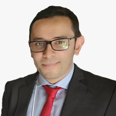
Suliman Gargoum
Co-Founder and Advisor
Nektar 3D Consulting Inc
Canada

Tomas Herrera
CTO
Aerolaser
Spain
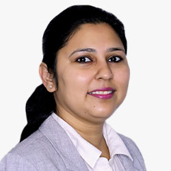
Vaishali Dixit
Vice President- Americas
Geospatial World
India
Venkata Rajanikanth Muppalla
Head - Geospatial strategy & Go-To-Market (GTM)
Tech Mahindra
India

Xabier Erana
Senior Sales Support Manager
Terrasolid
Finland
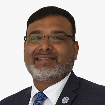
Zaffar Sadiq Mohamed-Ghouse
Vice President and Director-Advisory & Innovation
Woolpert
Australia
Prof Dr Zaffar Sadiq Mohamed-Ghouse is a Director of Advisory & Innovation at Woolpert, a leading global architecture, engineering, and geospatial firm. He has over 25 years of experience in providing strategic advice and solutions to several governments and international organizations on geospatial and space-related matters, such as positioning networks, data policies, spatial digital twins, geospatial ecosystems, natural resources, and Geospatial master plans. He has led several multi-million-dollar national mapping projects for various countries and regions, including Australia, New Zealand, Malaysia, Indonesia, India, United Arab Emirates, and Saudi Arabia.
As a Fellow of the Institution of Engineers Australia, a Fellow of the Royal Geographical Society, and an Honorary Fellow of the Geospatial Council of Australia, Zaffar is recognized as one of the spatial leaders in Australia and globally. He is also the Chair of the United Nations Global Geospatial Information Management - Private Sector Network, where he facilitates collaboration and innovation between the private sector and the UN-GGIM community. He is passionate about advancing the spatial industry and its contribution to the sustainable development goals. He has published extensively in GIS, surveying, remote sensing, data management, and spatial data / knowledge infrastructures and Geospatial Ecosystems. He is the recipient of several prestigious awards, including the Professional of the Year 2022 by the Asia-Pacific Spatial Excellence Awards and University of Melbourne's Prestigious Thornton Smith Medal for outstanding service to Geospatial and Surveying Community. Zaffar has academic appointments at University of Melbourne, Anna University and National Institute of Advance Studies. He served on the Programme Board of Geospatial Knowledge Infrastructure since its inception. He is currently the Vice president of the International Society of Digital Earth and serves as Board of Directors of the Open Geospatial Consortium and Programme Board of Group on Earth Observation.
Research and Academia

Chih-Yun Hsieh
Project Manager
High Definition Maps Research Center
Taiwan
Dr Meng-Lun Tsai
Associate Professor
National Cheng Kung University
Taiwan
Meng-Lun Tsai received his Ph.D. degree from the Department of Geomatics, National Cheng Kung University, Taiwan. He is interested in the development of next generation's multi-sensor fusion such as GNSS modernization, inertial navigation system, lidar, digital photogrammetry, and mobile multi-sensor mapping systems. He is also focusing on the operation, verification, validation, data contents, and formats standard of High Definition Maps.

Fran Garcia Ruiz
Technical Coordinator
Centre d'Innovacio Digital Agroalimentari i Forestal de Catalunya
Spain

Dr Jeff Hamerlinck
Associate Director School of Computing
University of Wyoming
USA
Dr. Jeff Hamerlinck is Associate Director and Senior Research Scientist in the School of Computing at the University of Wyoming, where he also directs the Wyoming Geographic Information Science Center and Center for Rural Community Resilience and Innovation. Dr. Hamerlinck's current work centers around digital twins for smart rural communities and geodesign for multifunctional rural landscapes. Dr. Hamerlinck is the current President of the University Consortium for Geographic Information Science as well as a member of the U.S. National Geospatial Advisory Council.

Dr John P Wilson
Professor and Founding Director Spatial Sciences
University of Southern California
USA
Dr. John P. Wilson is the Founding Director of the Spatial Sciences Institute and a Professor of Architecture, Civil and Environmental Engineering, Computer Science, Population and Public Health Sciences, and Sociology at the University of Southern California. His research focuses on the modeling of human and natural systems and makes extensive use of GIS, spatial analysis, and various forms of environmental modeling. Much of this work is collaborative with the goal of improving our understanding of the factors connecting people, the environment, and their health.

Dr Jordan Steven Bates
Researcher
University of Liege
Belgium

Josep E. Pardo Pascual
Geo-Environmental Cartography and Remote Sensing Group, Cartographic Engineering
Geodesy and Photogrammetry Department, UPV
Dr Mohamad Alnasser
Geospatial Engineer
Lund University
Sweden
I am an ambitious engineer recognized as a Top GIS Voice on LinkedIn 2024 and preparing for a master's degree in GIS at Lund University, Sweden. Proud to be a part of the development of the Stockholm Region in the field of geo-information technology. Interested in photogrammetry, GIS, CAD, 3D, GeoAI, digital twins and drones. My driving forces are continuous development, exchanging experience and imparting knowledge.
Dr Paula Moraga
Assistant Professor, Statistics, Principal Investigator, Geospatial Statistics and Health Surveillance
King Abdullah University of Science and Technology
Jeddah

Dr Rencai Dong
Professor - State Key Laboratory of Urban and Regional Ecology
University of Beijing
China
Dr Rodney Borrego Acevedo
Research Fellow
Earth Observation Research Centre, The University of Queensland
Australia
Dr. Rodney Borrego Acevedo is a remote sensing specialist with fifteen years of experience in coral reef habitat and terrestrial mapping. He holds a PhD in Mapping Science from The University of Queensland, where he currently serves as a Research Fellow at the Earth Observation Research Centre. His current work focuses on mapping mid-shelf and offshore reefs in the Great Barrier Reef, Australia.
Rodney has held key scientific and technical roles in both academia and government, including with the Allen Coral Atlas and the Queensland Department of Environment and Science, contributing to large-scale habitat and land use mapping initiatives. His expertise spans reef geomorphology, satellite remote sensing, and ecosystem monitoring, supported by field and spatial data analysis.
Originally trained as a biologist, Rodney has worked across the Caribbean, South America, and Australia, blending research with applied conservation. His work has directly supported marine park management, sustainable tourism, and fisheries policy. He remains committed to advancing environmental stewardship through data-driven science.
Dr Shaily Gandhi
Senior PostDoc, Geosocial AI Research Group
Geo-Social Analytics Lab, University of Salzburg
Austria
User Organisations - Business Enterprises
Amr Raafat
Chief Innovation Officer
Windover Construction
USA
Amr Raafat is the Chief Innovation Officer at Windover Construction, where he leads the VDC team in integrating cutting-edge technology to optimize project delivery. With over 20 years of experience blending architecture, construction, and engineering, he also leads Windover's IDEATM (Innovations for Design, Engineering, and Automation) platform, providing advanced solutions on a global scale that streamline the construction process and enhance project outcomes. Recognized as a pioneer in the AEC industry, Amr was awarded the Global Autodesk AEC Innovator of the Year in 2019 and named Autodesk Construction Champion in 2024. He also hosts the popular Autodesk series "On the Road with Amr," where he travels worldwide to engage with industry leaders, exploring innovations that drive efficiency and transform the construction landscape. Amr holds a master's degree in architecture from Boston Architectural College.

Chitwan Kohli
Location intelligence Specialist
Collins Food
The Netherlands
Dhruba Banerjee
GIS Head
Tata Power Central Odisha Distribution Limited (TPCODL)
India

Dr Simon Musaeus
Principal
SWM Advisory
Spain
Efren Diaz
Head of the Department of Technology and Geospatial Law
Mas y Calvet Law Firm
Spain
Efren Diaz is a Lawyer and Doctor of Law, Senior Associate at Mas y Calvet Law Firm (Madrid), where he leads the Technology and Space Law departments. A specialist in Administrative, Technological, and Geospatial Law, he serves as a Data Protection Officer in Europe across sectors such as finance, legal, and healthcare. Author of Spain's Geospatial Code (BOE), he holds an award-winning Master's in Data Protection and is a member of organizations like INSPIRE (European Commission), ISO/TC 211, and the Spanish Association of Aeronautical and Space Law, where he is Secretary General. He also teaches at universities such as Navarra and Comillas and conducts research with institutions like the Open Data Institute (UK).

Gerhard Deiters
Partner
BHO Legal
Germany
Gerhard specialises in IT, data, data protection and international contract law as well as the sectors of research and development, earth observation, security and defence, in particular in the areas of open data, AI, intellectual property when using open-source components, unmanned systems, etc.
His clients include international corporations, medium-sized companies and German and European authorities, international organisations, and research institutes. In addition to providing legal advice, he is also known for his numerous activities as a seminar leader and speaker in the areas of IT and data protection law as well as lectures and training courses on legal issues relating to future technologies. He regularly conducts customised workshops on contract drafting for agile procedures and helps companies and research institutions to implement the requirements of the EU AI Act. Gerhard is a T�V-certified external data protection officer. He has been listed in �Germany's Best Lawyers� in the category �IT Law� in the Handelsblatt since 2022. He studied law at the University of Cologne.

Helen Aavisto
Founder
Maritime X
Estonia
Helen Aavisto is the founder of Maritime X, a shipbuilding company in Estonia. She's a leader in maritime innovation, sustainability, and has been recognized for her contributions to the industry.

Kevin Pomfret
Partner
Williams Mullen
USA
Laia Romero
Co-Founder & Managing Director
Lobelia Earth
Spain
Laia Romero is a climate scientist and the co-founder and managing director of Lobelia Earth, a Barcelona-based company established in 2020. Lobelia Earth specializes in climate risk assessment utilizing Earth observation and the development of advanced data management software.
With a background in physical oceanography, Laia has substantial experience in satellite technologies and applications, particularly in radar. She has successfully developed geospatial systems and applications and possesses extensive experience in deploying and executing large-scale operational services. Lobelia Earth offers high-resolution observational datasets and visualization tools that assist organizations in assessing climate vulnerabilities, risks, and opportunities. Their clients include reinsurance companies, investment firms, engineering firms, infrastructure operators, non-governmental organizations, and public administrations.
Prasanta Saha
Head - Energy & Utilities (Portfolio) - Europe
HCLTech
Spain

Takumi Hashizume
Managing Director, Head of Space innovation Office. Sustainable Business Division
MUFG Bank
Japan
User Organizations - Government

Abdulrahman Ibrahim
Chief Data and Innovation Officer
Madinah Region Development Authority
Saudi Arabia
Ahmad Aswadi Yusof
Senior Director, Geospatial and Data Management Division
Malaysian Communications and Multimedia Commission
Malaysia

Alicia Fernandez-Renau
Senior Advisory Member
CNIG
Spain

Andrea Manara
Senior System Analyst/ ITU Focal Point for Geospatial Information Management
International Telecommunication Unit
Italy
Antonio Muruais
Deputy Director General of Sustainability and Innovation
General Directorate of Roads of Mitma
Spain
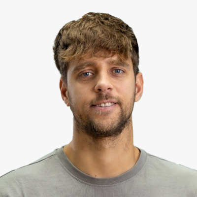
Arjan Spruijt
Program Manager Datadriven Urban Area Development
Ministry of Infrastructure and Water Management
The Netherlands
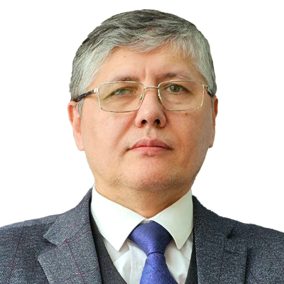
Bobomurod Makhsudov
Head of Department
Ministry of Agriculture
Uzbekistan
Bobomurod Makhsudov, associate Professor of Technical Sciences. Head of Department for the Implementation of Agrospace Technologies of the Ministry of Agriculture of the Republic of Uzbekistan. Over 20 years of experience in geospatial research, with a focus on Cadastre, Land Management, Agriculture, Land Use change and Environmental modelling.

Borja Rodriguez Cuenca
Directorate-General for Water
Ministry for the Ecological Transition and the Demographic Challenge
Spain
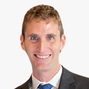
Bruno Perez Martin
Program Manager - Remote Sensing
CNIG
Spain

CFR Telmo Geraldes Dias
Coordinator - Technical-Scientific Data Management Centre
Portugese Hydrographic Institute
Portugal
Telmo Geraldes Dias is the Coordinator of the Technical-Scientific Data Management Centre at the Portuguese Hydrographic Institute, overseeing data management and technical operations for hydrographic research and maritime studies.

Claudius Lieven
Head of Urban Digital Twin Application Development
Ministry of Urban Development and Housing / Hamburg
Germany
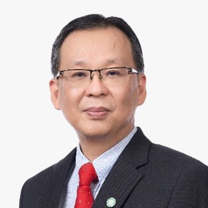
Datuk Prof Sr Bernard Liew Chau Min
Director of Lands and Surveys
Sabah Lands and Surveys Department
Malaysia
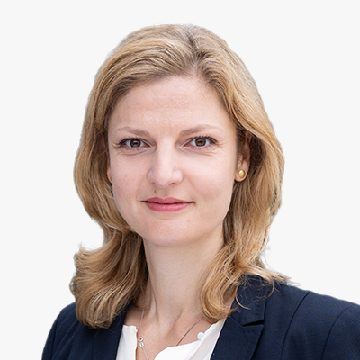
Dr Nora Reinecke
Head of the Connected Urban Twins Projekt
Free and Hanseatic City of Hamburg
Germany
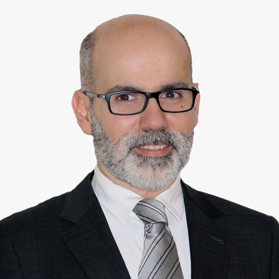
Dr Roberto Rodriguez Alvarez
Deputy Director General
Ministry of Agriculture, Fisheries and Food
Spain
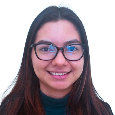
Elsy Johana Cisneros Canales
GIS Analyst, Secretariat of Strategic Planning
Government of the Honduras
Honduras
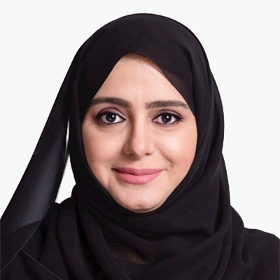
Eng. Anwaar AlshimmarI
Executive Director
FGIC
UAE

Enkhjargal Natsagdorj
Director Geospatial Data Analysis Department
Centre for Policy Research and Analysis
Mongolia
Eric Bayers
General Counsellor
National Geographic Institute
Belgium

Guo Jun Tan
Deputy Director, Geospatial Data Science & Analytics
Singapore Land Authority
Singapore

Hajer Alabdouli
Payload Lead
NSSTC
UAE

Irina Khussainova
Head of Division - Chief Aviation Inspector
Aviation Administration of Kazakhstan
Kazakhstan
James Norris
Head of International Affairs
Ordnance Survey
UK
James Norris is Head of International Affairs at Ordnance Survey where he works to promote the vital role that geography and geospatial data has in transforming economies, sustaining the environment, and making the world a better place.

Javier G. Matesanz
The Deputy Directorate General of Cartography and Territorial Observation
CNIG
Spain
Jesus Garrido
LiDAR Project Manager
CNIG
Spain

Julian Delgado
Program Manager- Land Cover and Land Use
CNIG
Spain

Kimberly Mantey
Director, National Geospatial Technical Operations Center
USGS
USA
Ms. Mantey currently serves as the Director of the National Geospatial Technical Operations Center (NGTOC) within the United States Geological Survey (USGS). Ms. Mantey has over a decade of experience at the U.S. Geological Survey's National Geospatial Technical Operations Center (NGTOC) leading national operations supporting topographic mapping and the 3D Elevation Program (3DEP). A senior member of the National Geospatial Program and Core Science Systems leadership teams, she oversees the planning, execution, and technical direction of programs that support mapping for the United States. Her expertise spans geospatial science, national mapping standards, and large-scale federal contracting, including oversight of the $850 million Geospatial Products and Services Contract (GPSC). Prior roles include Deputy Director and Section Chief for Elevation Operations, she they managed 3DEP implementation and delivery. Her leadership at USGS has advanced national topographic initiatives and helped modernize critical geospatial data platforms such as the National Map. Ms. Mantey holds a bachelor's degree in Geography and a GIS Certificate from the University of Colorado Denver.

Luis Gerardo Esparza Rios
General Director- Geography and Environmental
INEGI
Mexico

Manuel Minambres
CNIG
Spain
Maroale Mimi Chauke
Director- National Spatial Information Framework
Spatial Planning and Land Use Management, National Department Land Reform and Rural Development

Mickey NG
Land Surveyor, Survey and Mapping Office, Lands Department, the Government of the HKSAR
Hong Kong SAR
China
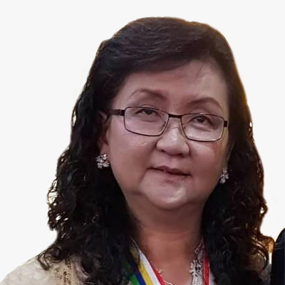
Puan Doria Tai
Deputy Permanent Secretary
Ministry of Science, Technology and Innovation Sabah
Malaysia
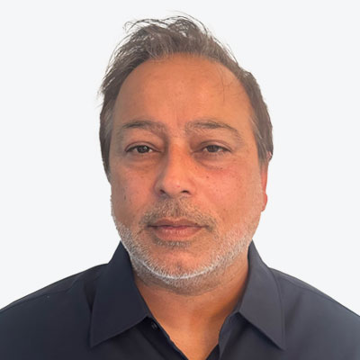
Sumit Gera
Senior Director
Canada Centre for Mapping and Earth Observation - Natural Resources Canada
Canada
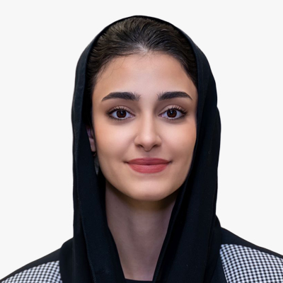
Wejdan Asiri
Head of Regulation & policy Department - The Executive Department of Legal Affairs and Policy
GEOSA
Saudi Arabia
International & Development Organisations/Multilateral Agencies/Professional Societies
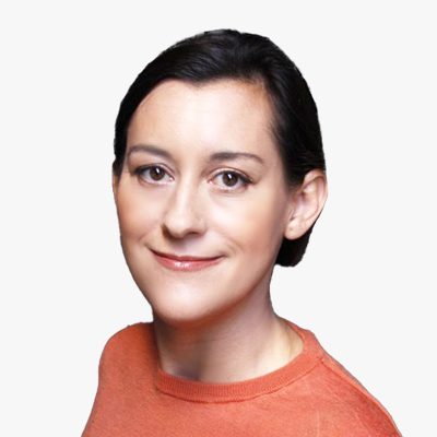
Ada Perello
Communications Manager
EAASI
Spain
Ada Perello is the Communications Manager of the European Association of Aerial Surveying Industries (EAASI). She has worked managing external communications for several organizations, including the International Maritime Organization (IMO), the Food and Agriculture Organization of the United Nations (FAO), and the private sector. Ada holds a Master's Degree in Communication and a Master's in International Business Administration. EAASI was officially launched in 2019 to bring together companies involved in the generation of geographic data from crewed aerial platforms, and it has grown rapidly ever since.
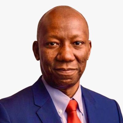
Bernardo Mariano Junior
ASG - Chief Information Technology Officer
UN Office for Information and Communication Technology
USA
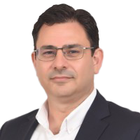
Burak Inan
Chairman
IC-ENC
Turkiye
Burak Inan was elected as Chair of IC-ENC in July 2023 and is currently the Deputy Director of the TN-ONHO. He served as the Head of Paper Charting, Head of Electronic Charting and Head of Charting at the Turkish Navy-Office of Navigation, Hydrography and Oceanography (TN-ONHO). During this period, he carried out the duties as Mediterranean and Black Sea Hydrographic Commission Capacity Building (MBSHC CB) Coordinator, Black and Azov Seas Working Group (BASWG) Secretary.
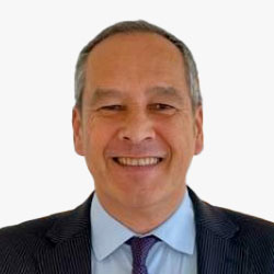
Christophe Yvetot
UNIDO Representative to the EU, EIB, OACPS, Belgium and Luxembourg
Head of UNIDO Brussels Office
Belgium
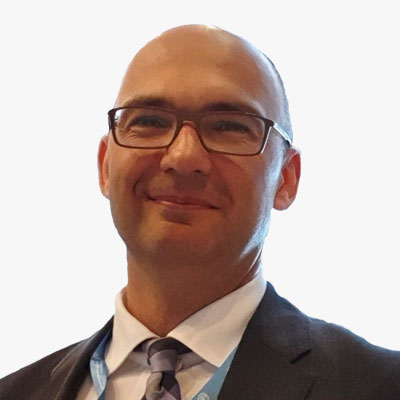
Dejan Jakovljevic
Chief Information Officer and Director
Digital FAO and Agro-informatics
Italy

Jose Santiago
Researcher
Centro Tecnologico del Mar - CETMAR
Spain

Najat El Moutchou
International Development
The World Bank
Sweden
Najat specializes in research and development in environmental management and planning focused on structural, institutional, and socioeconomic aspects with local stakeholders, government agencies, and other national and international partners. She has extensive knowledge of participatory development approach in support of coastal resilience, resources management, ecological and socioeconomic diagnosis, monitoring programs, and community development projects.
Ravi Shankar Santhana Gopala Krishnan
Data, Analytics, and Delivery for Impact World Health Organization Geneva
Head, WHO GIS Centre for Health
Switzerland

Sapiens Ndatabaye Kanyunyi
Founder and CEO
World Disaster Centre
France
India EU Summit

Arjen Crince
Technical Director
iSpatial Techno Solutions (IST)


