
Ananyaa Narain
VP - Consultancy
Geospatial World
India
Theme: Geospatial Knowledge Infrastructure: Advancing Value Impact of National Mapping on Economy, Society, and Environment
Geospatial Knowledge Infrastructure (GKI) is transforming national mapping into a more strategic asset that can drive economic growth, focus on environment, and social progress. The GKI Summit 2025 will bring together global experts, policymakers, and industry leaders to explore the integration of advanced technologies in geospatial systems, the evolution of national geospatial platforms, and the role of public-private partnerships in enhancing the value of mapping data. Discussions will focus on leveraging 3D digital twins, AI, and cross-sector collaborations to optimize geospatial intelligence for governance, urban planning, and resource management.

Session Highlight
Moderator
Session Highlight
Moderator
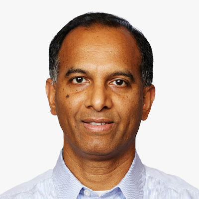
Dr. Siva Ravada serves as Vice President of Development at Oracle Corporation. In this role he is responsible for development of the spatial and graph technology at Oracle. Oracle's spatial database server and related geospatial offerings are used across a wide range of applications from traditional GIS/LIS applications to business geographic applications providing location based services.
Dr. Ravada works with many national agencies to help them define the architecture for their spatial data systems and help them guide in their implementation of spatial data platform. He is a member of program committees of several international conferences to serve the broader communities of spatial databases, Geographic Information Science and spatial computing.
Dr. Ravada is an author and contributor to numerous geospatial publications, and he holds over 40 patents in geospatial technology.
Dr. Ravada received a Ph.D. in Computer Science from the University of Minnesota, a M.S. in Computer Science from the University of Maryland, and a B. Tech. in Computer Science & Engineering from Andhra University, India.
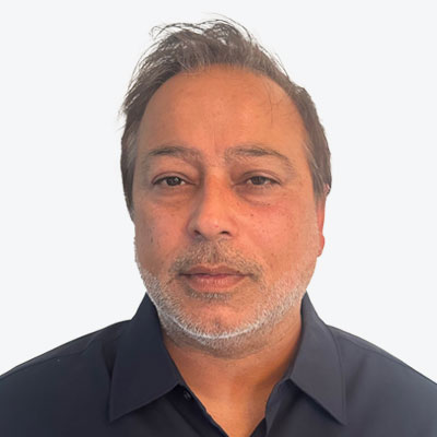

Ms. Mantey currently serves as the Director of the National Geospatial Technical Operations Center (NGTOC) within the United States Geological Survey (USGS). Ms. Mantey has over a decade of experience at the U.S. Geological Survey's National Geospatial Technical Operations Center (NGTOC) leading national operations supporting topographic mapping and the 3D Elevation Program (3DEP). A senior member of the National Geospatial Program and Core Science Systems leadership teams, she oversees the planning, execution, and technical direction of programs that support mapping for the United States. Her expertise spans geospatial science, national mapping standards, and large-scale federal contracting, including oversight of the $850 million Geospatial Products and Services Contract (GPSC). Prior roles include Deputy Director and Section Chief for Elevation Operations, she they managed 3DEP implementation and delivery. Her leadership at USGS has advanced national topographic initiatives and helped modernize critical geospatial data platforms such as the National Map. Ms. Mantey holds a bachelor's degree in Geography and a GIS Certificate from the University of Colorado Denver.


Session Highlight
Moderator
Keynote


Nejc Dougan stands at the forefront of the evolving geospatial landscape, merging the precision of geodesy with cutting-edge advancements in artificial intelligence. An alumnus of the University of Ljubljana, he has charted a path as the CTO of Flai, a company he founded to revolutionize geospatial processing with the use of AI. At Flai, Dougan harnesses his extensive experience in software engineering to lead innovations in the application of AI, particularly in the automation of LiDAR point cloud classifications. His pioneering work doesn't stop at industry applications. He has research focus into the potential of deep learning convolutional neural networks to transform aerial laser scanning point clouds. His vision is not just to advance the field technically but to forge pathways that blend the rigours of scientific inquiry with the demands of a rapidly changing technological domain.

Session Highlight
Moderator

Keynote


Dr. Jeff Hamerlinck is Associate Director and Senior Research Scientist in the School of Computing at the University of Wyoming, where he also directs the Wyoming Geographic Information Science Center and Center for Rural Community Resilience and Innovation. Dr. Hamerlinck's current work centers around digital twins for smart rural communities and geodesign for multifunctional rural landscapes. Dr. Hamerlinck is the current President of the University Consortium for Geographic Information Science as well as a member of the U.S. National Geospatial Advisory Council.
Prof Dr Zaffar Sadiq Mohamed-Ghouse is a Director of Advisory & Innovation at Woolpert, a leading global architecture, engineering, and geospatial firm. He has over 25 years of experience in providing strategic advice and solutions to several governments and international organizations on geospatial and space-related matters, such as positioning networks, data policies, spatial digital twins, geospatial ecosystems, natural resources, and Geospatial master plans. He has led several multi-million-dollar national mapping projects for various countries and regions, including Australia, New Zealand, Malaysia, Indonesia, India, United Arab Emirates, and Saudi Arabia.
As a Fellow of the Institution of Engineers Australia, a Fellow of the Royal Geographical Society, and an Honorary Fellow of the Geospatial Council of Australia, Zaffar is recognized as one of the spatial leaders in Australia and globally. He is also the Chair of the United Nations Global Geospatial Information Management - Private Sector Network, where he facilitates collaboration and innovation between the private sector and the UN-GGIM community. He is passionate about advancing the spatial industry and its contribution to the sustainable development goals. He has published extensively in GIS, surveying, remote sensing, data management, and spatial data / knowledge infrastructures and Geospatial Ecosystems. He is the recipient of several prestigious awards, including the Professional of the Year 2022 by the Asia-Pacific Spatial Excellence Awards and University of Melbourne's Prestigious Thornton Smith Medal for outstanding service to Geospatial and Surveying Community. Zaffar has academic appointments at University of Melbourne, Anna University and National Institute of Advance Studies. He served on the Programme Board of Geospatial Knowledge Infrastructure since its inception. He is currently the Vice president of the International Society of Digital Earth and serves as Board of Directors of the Open Geospatial Consortium and Programme Board of Group on Earth Observation.

Session Highlight

Moderator & Keynote

Gerhard specialises in IT, data, data protection and international contract law as well as the sectors of research and development, earth observation, security and defence, in particular in the areas of open data, AI, intellectual property when using open-source components, unmanned systems, etc.
His clients include international corporations, medium-sized companies and German and European authorities, international organisations, and research institutes. In addition to providing legal advice, he is also known for his numerous activities as a seminar leader and speaker in the areas of IT and data protection law as well as lectures and training courses on legal issues relating to future technologies. He regularly conducts customised workshops on contract drafting for agile procedures and helps companies and research institutions to implement the requirements of the EU AI Act. Gerhard is a T�V-certified external data protection officer. He has been listed in �Germany's Best Lawyers� in the category �IT Law� in the Handelsblatt since 2022. He studied law at the University of Cologne.
Efren Diaz is a Lawyer and Doctor of Law, Senior Associate at Mas y Calvet Law Firm (Madrid), where he leads the Technology and Space Law departments. A specialist in Administrative, Technological, and Geospatial Law, he serves as a Data Protection Officer in Europe across sectors such as finance, legal, and healthcare. Author of Spain's Geospatial Code (BOE), he holds an award-winning Master's in Data Protection and is a member of organizations like INSPIRE (European Commission), ISO/TC 211, and the Spanish Association of Aeronautical and Space Law, where he is Secretary General. He also teaches at universities such as Navarra and Comillas and conducts research with institutions like the Open Data Institute (UK).
Session Highlight

Moderator


