


Geospatial Knowledge Infrastructure
- Commercialization
- Commoditization
- Competitiveness
Sponsors & Partners
Strategic Sponsor

Principal Sponsors


Associate Sponsors





Co-Sponsors






Evolving India's Space & Geospatial Landscape
28 Years of Industry Evolution. 26 Editions of Leadership. One Shared Journey.
For nearly three decades, India's space and geospatial ecosystem has transformed from paper maps to AI-powered intelligence, evolving into the foundation of the nation's digital future. Across 26 editions, GeoSmart India has stood at the forefront of this journey, bringing together visionaries, shaping conversations, and advancing the ideas that continue to define the future of Geospatial Knowledge Infrastructure.
- Mapping
- GIS
- Remote Sensing
- Earth Observation
- Space
- AI
- Digital Twins
- Spatial Intelligence
- Knowledge Infrastructure

India stands at a defining moment in the evolution of its space and geospatial economy. Over the past decade, progressive policy liberalization, the National Geospatial Policy 2022, the Indian Space Policy 2023,...
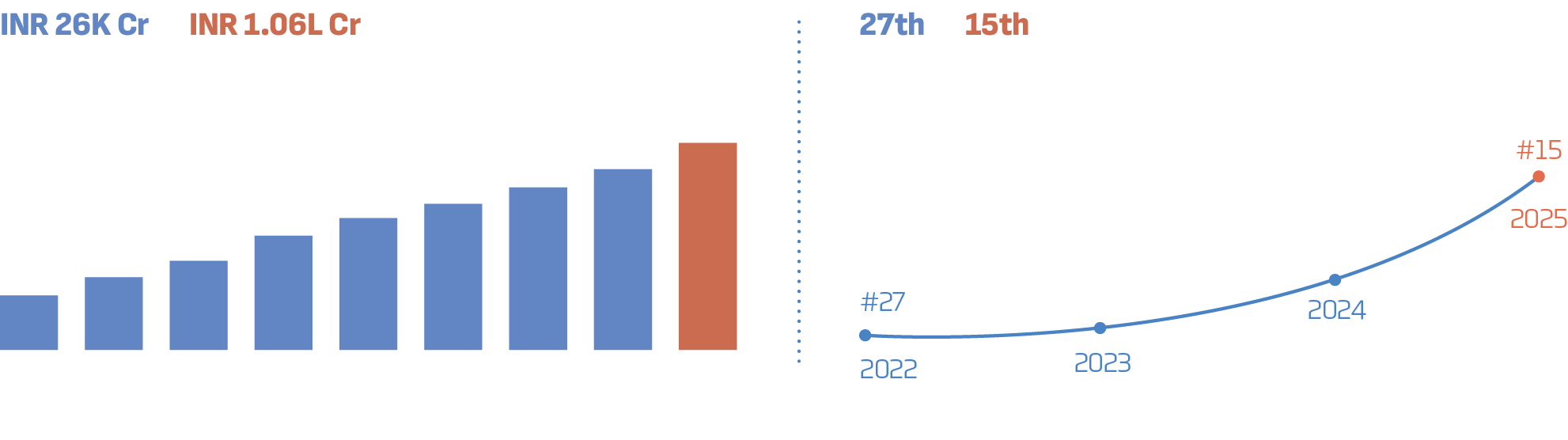
Three Pillars of Geospatial Knowledge Infrastructure
Commercialisation
Unlocks the economic potential of geospatial knowledge by creating new markets, enabling scalable business models, encouraging public–private collaboration, rising investments and driving industry-wide adoption of geospatial solutions.
Commoditisation
Transforms space and geospatial capabilities into a trusted, interoperable and widely accessible foundation for the digital economy, enabling AI-driven services, Digital Twins, automation and cross-sector innovation while accelerating adoption at scale.
Competitiveness
Positions India to lead the global space and geospatial economy by strengthening sovereign capabilities, accelerating indigenous innovation, building world-class talent, expanding exports and fostering globally competitive enterprises and resilient value chains.
CONFERENCE
GeoSmart India 2026 is India’s premier geospatial and space technology conference
driving knowledge exchange, collaboration, and strategic growth.
Highlights
Global leaders shaping geospatial and space applications
Insightful panels and expert-led sessions
Policy dialogues and industry roundtables
Networking with policymakers, industry leaders, and experts
Geology Agriculture Land
Administration Defence &
Intelligence Business
Intelligence Hydrospatial
Infrastructure
& Blue Economy Climate
Resilience & Disaster
Management Urban
Development Utilities
Networks

Geospatial
Knowledge
Infrastructure
Thematic Programs
Mining & Geology
Mining and geology span the identification, exploration, assessment, development and management of mineral resources. India’s minerals support infrastructure, manufacturing and industrial production, while critical minerals are increasingly important for renewable energy, electric mobility, electronics, semiconductors and defence. Expanding domestic resources and strengthening mineral supply chains require more effective exploration and assessment. Earth Observation, hyperspectral and SAR imagery, airborne geophysics, LiDAR, UAVs, GIS, GeoAI and 3D geological modelling can help integrate geological and terrain information. The summit will explore how these technologies can advance the sector from resource discovery to mine planning and operations.
Key Objectives
- Examine how geospatial and space technologies can advance geological mapping, mineral exploration, resource assessment and mine planning.
- Explore how geological intelligence, Earth Observation and digital geoscience can strengthen critical mineral exploration.
- Connect government, geological organisations, mining companies, technology providers and academia to accelerate digital exploration and mining practices.
- Identify priorities for geological data infrastructure, sustainable mining, environmental monitoring and commercial deployment of geospatial technologies.
Land Administration
India is transforming land administration through digital land records, cadastral mapping, geospatial intelligence, Earth Observation, AI and Digital Public Infrastructure. This is enabling trusted, interoperable land ecosystems that improve transparency, accelerate approvals, support data-driven planning and unlock innovation, investment and commercialisation.
Key Objectives
- Explore the role of integrated land information in strengthening governance, infrastructure planning and secure property rights.
- Engage government, industry, financial institutions and academia to advance collaborative, interoperable and future-ready land administration.
- Learn from pioneering initiatives and best practices in land records modernisation, cadastral management and digital land services that are improving governance and enabling efficient land markets.
- Discover pathways to build interoperable land information systems that improve governance, enable seamless land transactions and support infrastructure create new opportunities for innovation, commercialisation and investment.
Defence & Intelligence
Warfare is being reshaped by the convergence of geospatial and space capabilities across land, sea, air, cyberspace and space. As operations become increasingly multi-domain, Earth Observation, Satellite Communications, GEOINT, PNT, AI, C4ISR and autonomous systems are enabling persistent situational awareness, integrated command and control, and faster decisions. These capabilities compress the Observe–Orient–Decide–Act cycle and support coordinated action across domains. With geopolitical competition intensifying and the battlespace becoming more data-driven, sovereign geospatial capabilities are increasingly important to national security. The summit will bring together military leadership, government, industry, startups and academia to discuss building these capabilities for future warfare
Business Intelligence (BFSI, logistics & Supply Chain, Retail & Commerce)
India’s expanding digital economy is shifting businesses from conventional reporting towards data-driven and location-aware decisions. Across banking, insurance, retail, e-commerce, logistics and supply chains, organisations need timely insights to understand customers, markets, assets and operations. Geospatial and Earth Observation technologies add geographic context to business data, while GIS and spatial analytics support site selection, market analysis and network planning. AI and GeoAI can extend these capabilities to forecasting, risk assessment and operational optimisation. The summit will explore how location intelligence can help enterprises turn data into decisions, measurable business value and commercial opportunity.
Key Objectives
- Explore how geospatial intelligence and space technologies can transform business decision-making across BFSI, retail and commerce, logistics, supply chains and other sectors.
- Showcase how Earth Observation, positioning technologies, AI and business analytics can improve operational efficiency, risk management and customer engagement.
- Connect industry, technology providers, government and enterprise users to accelerate the adoption of geospatial business intelligence.
Hydrospatial Infrastructure & Blue Economy
India’s Blue Economy includes ocean-based industries and infrastructure, from fisheries and ports to offshore energy and marine ecosystems. Hydrospatial infrastructure brings together hydrographic surveys, bathymetry, marine geospatial information, ocean observations and navigation data to improve understanding of the marine environment. As activity expands across deep-sea exploration, shipping, fisheries and coastal development, reliable ocean intelligence is increasingly important. Earth Observation, GNSS, hydrographic surveying, marine GIS, AI and underwater technologies can support planning and management across these domains. The seminar will bring stakeholders together to advance ocean intelligence, innovation and sustainable marine economic development.
Climate Resilience & Disaster Management
Climate change is affecting India’s environment, economy and development, with rising temperatures, changing rainfall, sea-level rise and more frequent extreme events. The impacts vary across regions and affect agriculture, water security, ecosystems, health, livelihoods and infrastructure. India also faces risks from floods, cyclones, droughts, heatwaves, landslides and forest fires. Satellite observations, GIS, SAR, GeoAI and predictive analytics can help monitor environmental change, map hazards and assess exposed communities and infrastructure. The seminar will explore how climate intelligence can inform adaptation, preparedness, emergency response and resilient recovery.
Urban Development
India’s cities are growing rapidly, increasing demand for infrastructure, housing and services. Urban development programs are supporting investment in city infrastructure, municipal services and digital governance. At the same time, cities need better ways to plan land use, monitor expansion and manage infrastructure and services as connected systems. Earth Observation, GIS, Digital Twins, AI and IoT can combine spatial, demographic, environmental and infrastructure information to support more timely decisions. The seminar will examine how geospatial intelligence can improve planning, service delivery, sustainability and urban resilience.
Utilities Networks (Power, Telecom & Water)
India is moving towards next-generation utility infrastructure by connecting power, telecommunications, water and oil and gas networks into more integrated systems. Utility operators are adopting geospatial intelligence and digital technologies to improve planning, asset visibility, operational efficiency, safety and resilience. GIS, Digital Twins, IoT, AI and interoperable data platforms can support connected operations, predictive maintenance and informed investment. Shared platforms, common standards and infrastructure sharing can help accelerate adoption and coordination. The summit will explore how these approaches can build efficient, reliable and future-ready networks.
Agriculture
Agriculture remains central to India’s economy, supporting livelihoods, food security and a wide range of allied industries. The country is building digital foundations that connect information about farmers, land and crops through initiatives such as the Digital Agriculture Mission and AgriStack. The next challenge is turning this growing digital infrastructure into useful intelligence for farmers, governments, financial institutions and agribusinesses. Earth Observation, GIS, drones, sensors, AI and GeoAI can support crop monitoring, yield estimation, resource management and risk forecasting. The seminar will explore how these technologies can strengthen India’s agricultural economy, improve market connections and create greater value for farmers.
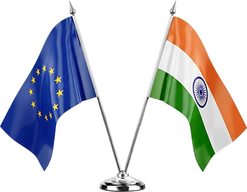
India–Europe Space and Geospatial Business Summit
The India–Europe Space and Geospatial Business Summit, organised as part of GeoSmart India 2026, will bring together government representatives, space agencies, industry leaders, technology providers and end users to explore opportunities for cross-border collaboration in the space and geospatial sectors.
The summit will focus on translating policy alignment and complementary technological capabilities into tangible business partnerships. Discussions will address regulatory frameworks, joint innovation, product development, technology commercialisation and emerging market opportunities across Earth Observation, satellite services, geospatial intelligence and AI-enabled solutions.
By fostering dialogue between Indian and European stakeholders, the summit aims to strengthen industry partnerships, facilitate market access, identify opportunities for co-development and commercialisation, and accelerate the adoption of space and geospatial technologies across key sectors. A dedicated networking reception will provide a platform for participants to build relationships, explore collaborations and advance potential business opportunities.
Impact Programs
& Inclusion
Professionals
Forum
EXPO
The Biggest Market Place of
India’s Geospatial & Space Ecosystem
GeoSmart India 2026 Expo is a dynamic business and innovation platform
driving technology showcase, market access, and partnerships.
Highlights
Cutting-edge
technology showcase
and live demonstrations
State pavilions
and thematic
industry displays
Capacity building
and academia-industry
engagement
Business networking
and partnership
opportunities
Where Innovation meets opportunity
5000+
sqm Expo Space
500+
Organisations
100+
Exhibitors
55+
Countries
3
Days of Demo
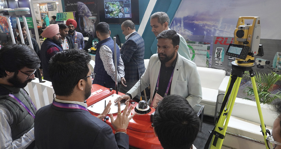
Showcase
- Demonstrate Technologies
- Present Innovative Solutions
- Launch New Products
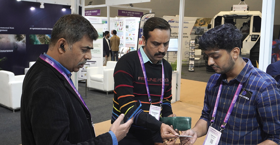
Connect
- Meet Industry Leaders
- Engage with Decision-Makers
- Build Strategic Partnerships

Grow
- Expand Market Presence
- Explore New Business Opportunities
- Strengthen Industry Relationships
Our Expo experience extends beyond the exhibition floor.
Turn your visit into a complete learning experience.
Alongside the exhibition, gain complimentary access to technical sessions featuring industry experts and technology leaders. Explore emerging technologies, real-world applications, and the latest innovations across the space and geospatial sector, while gaining practical insights that can help you stay ahead in a rapidly evolving industry.
Technical Sessions

Precision Positioning for a New Generation CORS, GNSS, RTK, Modern Surveying, High-Precision Positioning

From Geospatial Data to Intelligence AI/ML, Computer Vision, Automation, Predictive & Decision Intelligence

Connecting the Physical and Digital World BIM + GIS, Reality Modelling, Digital Engineering, Asset Intelligence

Capture, Model & Understand the World in 3D Airborne, Mobile, Terrestrial, Point Clouds, Reality Capture, 3D Modelling

From Maps to Decisions Enterprise GIS, Location Intelligence, Spatial Analytics, Cloud GIS, Data Integration

Intelligence from Above. Action on the Ground. Surveillance, Mapping, Situational Awareness, Critical Infrastructure, Emergency Response
*Tentative
Reserve your Booth today!
Reserve your Space
INR 27,000 / sqm | USD 500 sqm
For more details, contact: [email protected]
What’s More?

The GeoSmart India Awards celebrate the visionaries, organisations, and breakthrough initiatives driving India's geospatial transformation. From pioneering technologies and impactful projects to exceptional leadership and business excellence, the awards recognise those who are shaping the future of the industry and accelerating India's journey towards a smarter, more resilient, and digitally empowered nation.
Whether you represent government, industry, academia, research or the innovation ecosystem, if your work is driving innovation and creating measurable impact through space and geospatial technologies, the GeoSmart India Awards are your platform for national recognition.
Why Apply?
- Gain recognition on India's premier geospatial platform.
- Showcase your achievements before industry and government leaders.
- Strengthen your brand credibility and market leadership.
- Celebrate innovations and projects creating measurable impact.
- Benchmark your achievements alongside the industry's best.
- Inspire the future of India's space and geospatial ecosystem.
Who Can Apply?
The awards are open to:
- Government & Public Sector Organisations
- Industry & Enterprises
- Technology Providers
- Startups & MSMEs
- Research & Academic Institutions
- Individual Leaders & Professionals
For more information write to us: [email protected]

Leadership Awards

Excellence Awards

17-18, December 2026 | Bharat Mandapam, New Delhi
Co-located Event

Theme: Connected Infrastructure
for Efficient Transport Systems
GeoSmart India 2026 brings together the complete geospatial and space ecosystem. This year, the experience expands further with Asia AEC Forum 2026.
Featured Focus Areas
- Railway & Metro
- Roads & Highways
- Airport
- Ports & Inland Waterways
 17–18 December 2026 | Bharat Mandapam, India
Theme: Convergence of Space Infrastructure and Geospatial Platforms for Intelligent Systems
Focus Areas
- Space Infrastructure
- Cities and Infrastructure
- Space-Geospatial Convergence
- GeoIntelligence
- Disaster Resilience
- Business Intelligence

Senior Executive Training
Program on Geospatial
Knowledge Infrastructure (GKI)


Capability Building & Enablement Program for
Geospatial Knowledge Infrastructure
13 – 15 December 2026 | India International Centre,
New Delhi
Industry Engagement and Collaborative
Ecosystem Building
16 – 18 December 2026 | Bharat Mandapam,
New Delhi
GKI Program Partners



Takeaways from
Geosmart India 2025
 Viksit Bharat is not possible without the geospatial sector driving India’s growth in a big way.

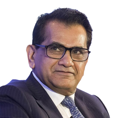
AMITABH KANT, IAS
Board Member, L&T, HCL, Indigo, Fairfax, Financial Holdings, Former G20 Sherpa & Chief Executive Officer, NITI Aayog
Geospatial is not just technology; it underpins India’s economic strength and technological sovereignty.
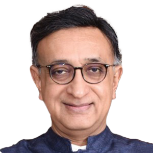
SRIKANT SASTRI
Chairman, Geospatial Data Promotion and Development Committee Government of India
This is not just mapping—it is rewriting the economic and social story of rural India.

VIVEK BHARADWAJ, IAS
Secretary, Ministry of Panchayati Raj Government of India
Geospatial technology today is not just a tool—it is a strategic asset for national growth.

AGENDRA KUMAR
Managing Director, Esri India
Spatial thinking is innate; geospatial innovation transforms needs, strengthens nations, and serves people, planet.

AS KIRAN KUMAR
Member, Space Commission, Government of India
India is building an integrated Land Stack to enable smarter planning and transparent governance.

S.K. SINHA
Additional Surveyor General, Survey of India
Media Coverage
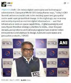
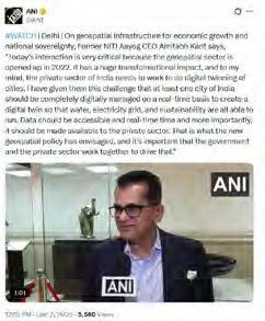
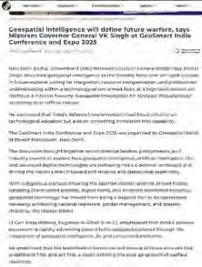
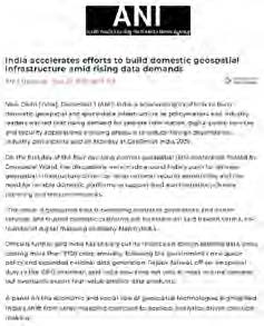
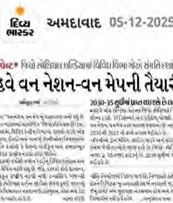

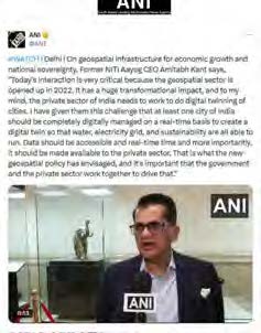
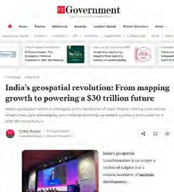
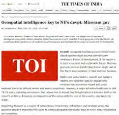

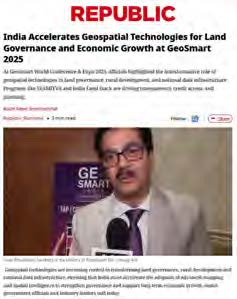
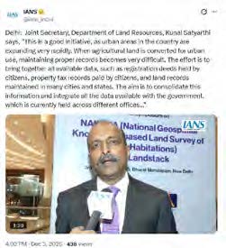

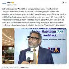
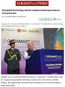
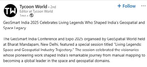
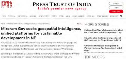
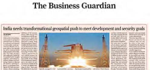
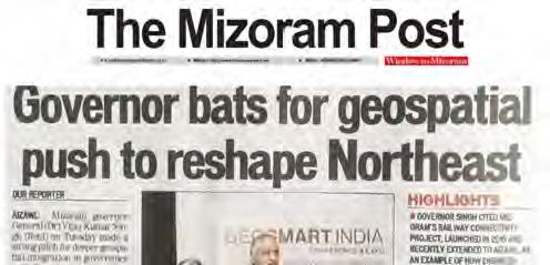
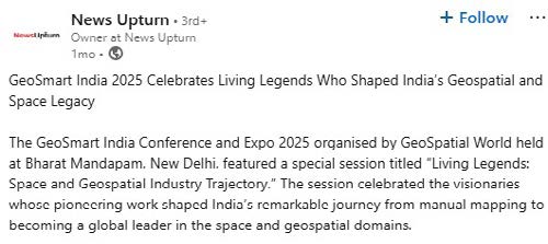
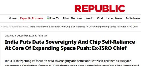
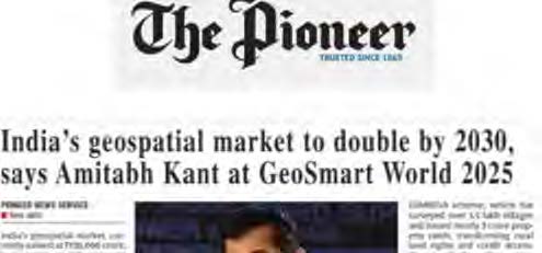

Who Have Been Part of the Journey


Trusted. Tested. Transformative.
Relive the moments from GSI 2025.
ABOUT GSI 2026
The Vision
Behind
the Conference
GeoSmart India 2026 conference & expo envisions geospatial intelligence as the foundational layer of India’s digital public infrastructure.
Aligned with the National Geospatial Policy 2022 and National Geospatial Mission, the conference brings together policymakers, industry leaders, technologists, academia, and startups to advance an open, secure, innovation-driven ecosystem, strengthening data sovereignty and positioning India as a global leader in data-driven, inclusive decision-making.
PEOPLE
Space & Geospatial
for Inclusivity
Harnessing geospatial intelligence to empower communities, enhance governance, and improve quality of life.
PLANET
Geospatial Intelligence
for Sustainability
Driving climate resilience, environmental monitoring, and resource optimization through advanced spatial insights.
PROGRESS
Geospatial Transformation
for Responsible Growth
Accelerating innovation and economic growth through secure, scalable, and responsible use of spatial data.
CONFERENCE PROGRAMS
Utilities
Networks
Hydrospatial Infrastructure
& Blue Economy
Defence &
Intelligence
Water Resource
Management
Land &
Property
Urban
Development
Mining &
Earth Intelligence
Capacity
Building
Geospatial Knowledge Infrastructure
CONFERENCE PROGRAMS

BLUE ECONOMY AND HYDROSPATIAL
Hydrospatial intelligence enables integrated coastal and offshore mapping across fisheries, aquaculture, ports, and marine resources. Advanced bathymetry, observation systems, and AI analytics improve planning, monitoring, and navigation. These capabilities support resource optimization, climate resilience, conservation, and data-driven ocean governance across the maritime ecosystem.
Read More
UTILITIES NETWORKS
Geospatial intelligence enables integrated urban management through digital twins, IoT, and AI analytics. It provides visibility across land use, mobility, water, waste, energy, and telecom networks. Spatial data supports asset management, demand assessment, and network optimization—enabling efficient, resilient, and data-driven urban governance and service delivery.
Read More
WATER MANAGEMENT
Geospatial intelligence enables integrated monitoring of water resources through remote sensing, IoT, and AI analytics. It supports irrigation planning, aquifer management, flood forecasting, and utility optimization. Spatial data improves demand assessment, leak detection, and distribution efficiency—enabling sustainable, transparent, and data-driven water governance across systems.
Read More
DEFENCE & INTERNAL SECURITY SUMMIT
Geospatial intelligence enables integrated, multi-domain security operations through AI analytics, satellite systems, and secure communications. It supports surveillance, border management, mission planning, and infrastructure protection. Real-time spatial data enhances situational awareness, coordination, and response—strengthening resilient, secure, and data-driven defence and internal security systems.
Read More
GEOSPATIAL KNOWLEDGE INFRASTRUCTURE (GKI)
Geospatial Knowledge Infrastructure (GKI) integrates mapping, geodesy, AI, cloud, and Digital Public Infrastructure to deliver trusted spatial intelligence. It supports precision agriculture, climate resilience, disaster management, land governance, and public service delivery, enabling data-driven decision-making, sustainable development, and resilient national infrastructure for a digitally empowered and future-ready India.
Read More
CAPACITY BUILDING
A future-ready geospatial workforce is essential to support evolving technologies and digital systems. Focus areas include curriculum alignment, industry-led training, certification frameworks, and continuous upskilling across geospatial, AI, and data domains. Strengthened skilling initiatives enhance employability, foster innovation, and support entrepreneurship—driving sustained growth and sector competitiveness.
Read More
MINING & EARTH INTELLIGENCE
Geospatial and space technologies are transforming mining through advanced exploration, environmental monitoring, predictive analytics, and digital twins. By integrating satellite observation, AI, and spatial intelligence, mining operations become safer, more efficient, transparent, and sustainable. These capabilities support critical mineral security, climate resilience, informed policy-making, and responsible resource management.
Read More
BUSINESS INTELLIGENCE
As India's economy becomes more digital, connected and consumer-driven, businesses are increasingly relying on geospatial intelligence and space technologies to understand markets, optimise networks and make informed investment decisions. Earth Observation (EO), Positioning, Navigation and Timing (PNT), satellite communications, AI and enterprise analytics are enabling organisations across BFSI, insurance, retail & commerce and supply chains to improve risk assessment, optimise branch and store networks, strengthen logistics, understand customer behaviour and identify new market opportunities. By converting geospatial knowledge into actionable business intelligence, enterprises are creating new products and services, improving operational efficiency and strengthening their competitiveness in an increasingly data-driven economy.
Read More
DIGITAL
VILLAGE
Empowering rural leaders with geospatial insights to drive evidence-based Gram Panchayat Development Plans, enhancing agriculture, water management, and climate resilience at the grassroots level.

DIVERSITY, EQUITY
AND INCLUSION
Advancing inclusive geospatial ecosystems by empowering underrepresented communities, fostering equitable access to technology, and promoting diverse voices in decision-making, innovation, and leadership.

STATE
SYMPOSIUM
Showcasing state leadership in geospatial innovation through progressive policies, integrated platforms, and local implementation—highlighting scalable models, regional priorities, and partnerships advancing India’s geospatial transformation.
DIGITAL
VILLAGE
Empowering rural leaders with geospatial insights to drive evidence-based Gram Panchayat Development Plans, enhancing agriculture, water management, and climate resilience at the grassroots level.
DIVERSITY, EQUITY
AND INCLUSION
Advancing inclusive geospatial ecosystems by empowering underrepresented communities, fostering equitable access to technology, and promoting diverse voices in decision-making, innovation, and leadership.
STATE
SYMPOSIUM
Showcasing state leadership in geospatial innovation through progressive policies, integrated platforms, and local implementation—highlighting scalable models, regional priorities, and partnerships advancing India’s geospatial transformation.
WHY BE PART OF GSI
Discover ideas, experiences, and opportunities that shape tomorrow.

Thought Leadership
Learn from industry leaders, global experts, and industry veterans shaping geospatial and allied sectors.

Premium Networking
Build meaningful relationships with professionals, enterprises, startups, and institutions across the ecosystem.

Tech Experience
Experience advancements in geospatial, space tech, AI, and digital solutions through curated showcases.

Business Opportunities
Explore partnerships, market potential, and collaborations across the geospatial value chain.
WHO SHOULD ATTEND?
Government & Public Sector Leaders
Policymakers, planners, and administrators aiming to harness geospatial technologies for better governance, infrastructure planning, public service delivery, and data-driven decision-making.
Industry & Technology Leaders
Technology providers, enterprises, and solution innovators leveraging geospatial intelligence, AI, and digital platforms to accelerate business transformation and operational efficiency.
Academia, Research & Knowledge Institutions
Researchers, universities, and training institutions advancing geospatial innovation, capacity building, scientific collaboration, and development of future-ready spatial technologies and talent.
Startups, Entrepreneurs & Investors
Emerging startups, entrepreneurs, and investors exploring innovation opportunities, strategic partnerships, scalable solutions, and growth across geospatial and space technology ecosystems.
Stay Updated on GeoSmart India 2026
Subscribe to receive the latest updates and important event notifications.
Strategic Sponsor
Principal Sponsors
Associate Sponsors
Co-Sponsors
Track Sponsors


State Partner

Institutional Partner
Co-Host
Produced By
India's Premier Conference for
the Space & Geospatial Economy
GeoSmart India has been India's flagship conference and exhibition for the space and geospatial community, bringing together policymakers, industry leaders, academia, startups and end-user organizations to foster collaboration, innovation and industry growth. Evolving from promoting technology adoption to enabling policy dialogue, strategic partnerships and business engagement, it now serves as the premier platform for advancing India's geospatial ecosystem.
- India's Biggest Geospatial & Space Conference & Expo
- Catalyzing Innovation, Collaboration & Industry Growth
- Government, Industry & Global Leaders on One Platform
- Technology Showcase, Strategic Dialogues & Business Networking
- Advancing India's Geospatial Knowledge Infrastructure