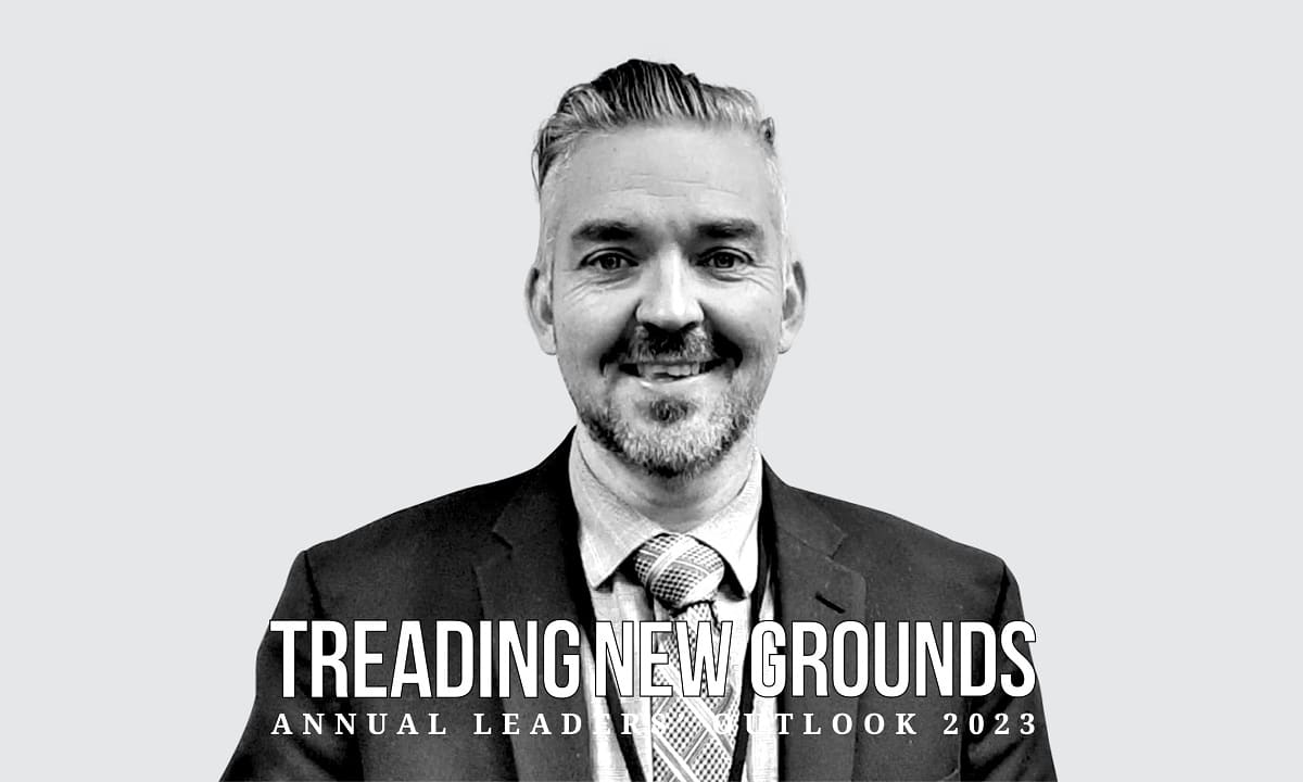
Recognizing that data integration and data brokering could remain national mapping agency roles, Eric is also seeking to advance and provide value-added solutions that help governments meet today’s challenges, evaluate climate change impacts, and assist emergency and disaster management.
Earth Observation or Geo-solutions that “protect Canadians from disasters like floods and forest fires” gain far greater political and fiscal recognition than arguing for a budget for fundamental data. This does not rule out the need for national fundamental data, for a geospatial infrastructure, but this fabric must be achieved because of solving national challenges.
Bespoke Solutions
Eric believes that agencies only focusing onto the concept of authoritative fundamental data are missing a real opportunity, as ‘fit for purpose’ data is increasingly what is required by data consumers who can now ‘shop around’. For example, it was recently announced that several tech companies, including Meta, Amazon, TomTom, and Microsoft, created the Overture Maps Foundation, which aims to make more map data freely available for use. In that context, geospatial information is increasingly becoming a consumable as sensors on land, in the air and in space, coupled with advanced analysis techniques such as AI, are refreshing data regularly.
Eric uses flooding to bolster this argument. The extent of flooding, ground and hydrology conditions, and potential damage to infrastructure can change rapidly, making near real-time geospatial solution essential to inform response, planning and decisions.
Factoring Variability
Even fundamental data sets we which were “static”, such as digital elevation models, change frequently at the higher resolutions at which they are now routinely collected and used. Eric accepts that some users need the assurance of precise and highly accurate data, such as cadastre for land registration and addressing for emergency services.
However, problems can be solved with geospatial information at lower fidelity, which is increasingly available from multiple sources. The timeliness of the information is becoming more important than the completeness or absolute precision (commission/ omission) of the data. Eric uses the term ‘implication dependent’ to describe how mapping agencies should be thinking as they assess their approach.
Increasing choices
Mapping agencies often ignore the growing truth that consumers have a choice of data providers. Many still believe that “perfection’’ is necessary, but users are increasingly seeking currency and accessibility in data along with trusted applications to apply it. Eric argues that traditional mapping agency geospatial information management processes and data models need to adapt to support users to integrate ‘consumable’ data through services and solutions.
More integration
In Canada, this changing role for the national mapping agency has led, for example, to CCMEO’s Emergency Mapping Service, which supports first responders with maps and data just hours after satellites have passed overhead in a format that allows rapid integration with wider infrastructure and statistical data.
Eric says that we must learn to trust algorithms to deliver solutions by investing in the upstream science necessary to provide assurance and to gain more structured and actionable data from sensors.
Multi-level collaboration
There is no other choice but to collaborate, given the complexity of the challenges we face today. Issues such as cumulative effects, climate change and emergency management are only a few examples that span government departments. To survive and prosper, national mapping agencies must reach out across government, jurisdictions, and user communities to understand the challenges we face and offer solutions accordingly.
ALSO READ: Developing the Brokerage Role of National Mapping Agencies
(Eric Loubier is the Director General of the Canada Centre for Mapping and Earth Observation. The views expressed in the article are the personal opinions of the author.)
Disclaimer: Views Expressed are Author's Own. Geospatial World May or May Not Endorse it


