Ah, GEOINT. The mysterious acronym that’s been buzzing around like a swarm of GPS-equipped bees. But what exactly is Geospatial Intelligence, you ask? Simply put, it’s the art of combining geographic data with other information to create a detailed picture of our world.
Think of it as a high-tech version of connect-the-dots, except instead of revealing a cute bunny, you might uncover a hidden military base or a secret stash of resources.
In today’s unpredictable geopolitical landscape, GEOINT has become the ultimate tool for defence and civilian applications alike, helping decision-makers navigate the twists and turns of global events with the finesse of a satellite-guided ballerina.
Here are my key trends shaping the future of GEOINT, with an emphasis on recent technological advancements and their practical applications. Who knows, by the end of this article, you might just be inspired to start your own GEOINT startup and take over the world (or at least your neighbourhood)!
Multi-Domain Integration
Multi-domain integration in GEOINT refers to the seamless fusion of data and capabilities across various operational domains—land, sea, air, space, and cyberspace. This integration allows for a comprehensive and cohesive operational picture that enhances decision-making and operational effectiveness.
One of the best examples of multi-domain integration can be seen in modern military operations, where advanced geospatial technologies and intelligence are leveraged to create a unified view of the battlefield. During the Ukraine conflict, the integration of commercial satellite imagery, open-source intelligence, and real-time data from social media and traffic apps (e.g., Google Traffic) provided early warnings of Russian troop movements.
This multi-domain approach allowed for rapid response and strategic planning.
Space-based Persistent Surveillance and Reconnaissance
Persistent surveillance and reconnaissance are the pinnacle in GEOINT and involve continuous monitoring of areas of interest, providing a steady stream of real-time data that enhances situational awareness and operational effectiveness. This capability is crucial for detecting changes, identifying patterns, and delivering timely intelligence for strategic and tactical decisions.
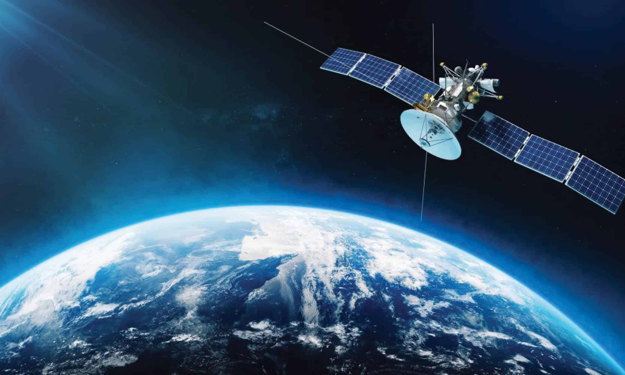
One prime example of spacebased GEOINT is the use of synthetic aperture radar (SAR) satellites. Unlike optical satellites, SAR satellites can capture high-resolution images under any weather condition and during nighttime. This capability was notably utilized during the Ukraine conflict to monitor troop movements and infrastructure changes, even through cloud cover and darkness.
Space-based Disaster Response and Management

Another significant application of space-based GEOINT is in disaster response and management. After natural disasters such as earthquakes, hurricanes, or floods, satellites equipped with optical and radar sensors can quickly assess damage and monitor recovery efforts.
This real-time information allows governments and humanitarian organizations to efficiently deploy resources and coordinate relief operations. For instance, satellite imagery played a crucial role in assessing the damage and planning emergency responses following the 2020 Beirut explosion.
In May 2024 devastating floods in Brazil caused widespread destruction and displacement. Spacebased GEOINT was instrumental in managing the crisis. Satellites provided real-time imagery and data that tracked the progression of the floods, identified the most affected areas, and assessed the damage to infrastructure.
This information was crucial for disaster response teams to allocate resources effectively, plan evacuations, and deliver aid to those in need. The integration of SAR satellites allowed for continuous monitoring despite heavy cloud cover, ensuring that response efforts were well-informed and timely.
The growing significance of space as a contested domain has accelerated advancements in space-based GEOINT capabilities. Satellites equipped with high-resolution imaging sensors, synthetic aperture radar (SAR), and various remote sensing technologies deliver vital intelligence for both strategic and tactical purposes. Space-based GEOINT is crucial for tracking missile launches, monitoring space assets, and maintaining comprehensive space domain awareness.
Advanced Geospatial Analytics
The rapid advancement of Large Language Models (LLMs) such as GPT-4, Claude, and others has opened new possibilities for advanced analytics in GEOINT. These powerful AI models can process and interpret vast amounts of unstructured data, including text, images, and even geospatial information, providing valuable insights and intelligence.
The rapid advancement of Large Language Models such as GPT-4, Claude, and others has opened new possibilities for advanced analytics in GEOINT.
These powerful AI models can process and interpret vast amounts of unstructured data, including text, images, and even geospatial information, providing valuable insights and intelligence.
One of the key applications of LLMs in GEOINT is in the automated analysis of text-based data sources, such as intelligence reports, news articles, and social media posts. By leveraging their natural language understanding capabilities, LLMs can quickly identify and extract relevant information, such as locations, events, and entities, from these sources. This automation significantly reduces the time and effort required for manual data analysis, allowing analysts to focus on higher-level tasks and decision-making.
LLMs can also be used to generate human-like text based on input prompts, which has potential applications in generating geospatial intelligence reports. By training these models on a large corpus of existing GEOINT reports, they can learn to produce clear, concise, and informative summaries of geospatial data and insights. This can help streamline the report-writing process and ensure consistency in the format and content of intelligence products.
Another promising application of LLMs in GEOINT is in the integration of multi-modal data sources. Advanced models like GPT-4 can process and understand data from different modalities, such as text, images, and even geospatial data formats. This capability enables the fusion of information from multiple sources, providing a more comprehensive and nuanced understanding of the operating environment.
For example, an LLM could analyze satellite imagery alongside text-based intelligence reports to identify and characterize activities of interest in each area. The use of LLMs in GEOINT is not without challenges, however.
Ensuring the security and privacy of sensitive geospatial data is a key concern, as is the need for robust data governance and ethical frameworks to guide the development and deployment of these technologies. Nonetheless, the potential benefits of LLMs in advancing geospatial analytics and intelligence are significant, and their adoption is likely to continue to grow in the coming years.
Digital Twins and Smart Cities
Digital twin technology is transforming urban planning and utility management by creating virtual replicas of physical assets, enabling cities to monitor and manage infrastructure more effectively.
This innovative technology is particularly valuable for predictive maintenance, optimizing resource allocation, and enhancing public safety. Smart cities leverage digital twins to improve transportation systems, energy distribution, and emergency response, making urban environments more efficient and resilient.
Cities including New York, Las Vegas, Los Angeles, Phoenix and Chicago are at the forefront of adopting digital twin technology in the United States. Those Cities are implementing a comprehensive digital twin system that encompasses various aspects of urban management.
Integrating data from sensors and IoT devices allows for real-time monitoring of infrastructure, including bridges, roads, and public buildings energy consumption. This system helps the city predict and address maintenance needs before they become critical issues, ensuring smoother operations and improved public safety.
CIVINT (Civil Engineering Intelligence)

Civil Engineering Intelligence (CIVINT) is an emerging field that integrates Geospatial Intelligence (GEOINT) principles, a deep understanding of Civil Engineering and SUE (Subsurface Utilities Engineering) and techniques such as Non-Intrusive Multi Sensing mapping to support the management and the design of underground utilities.
By leveraging geospatial data, state-of-the-art AI algorithms and domain expertise, CIVINT provides a comprehensive, accurate, and up-to-date understanding of the subsurface environment, enabling informed decision-making and optimized operations.
Utility Infrastructure Monitoring
Through the integration of multispectral and hyperspectral imaging, CIVINT can detect anomalies in utility networks, such as water leaks, electrical faults, and pipeline corrosion. This proactive approach to infrastructure monitoring helps prevent costly repairs and service disruptions, ensuring the reliability of critical utilities.
Geological and Geographical Assessments
CIVINT uses Satellite images and geospatial data to assess geological features and geographical changes. This information is crucial for identifying potential natural hazards, such as landslides, earthquakes, and soil erosion. Engineers and geologists can use these insights to design safer structures and develop mitigation strategies for at-risk areas.
Conclusion: The Future of GEOINT – To Infinity and Beyond!
The rapid advancements in technology, including AI, big data, 5G, and space-based capabilities, are driving innovation in GEOINT and shaping its future. As demonstrated in this article, the integration of these technologies is transforming the way we monitor, analyze, and manage our world, with far-reaching implications for both defence and civilian applications.
From multi-domain integration in military operations to space-based disaster response and management, advanced geospatial analytics using LLMs, digital twins and smart cities, and the emerging field of CIVINT, the potential applications of GEOINT are vast and diverse.
These advancements are enabling more efficient, effective, and data-driven decision-making across a wide range of industries and sectors. Looking ahead, we can expect even greater collaboration between government and commercial sectors, as well as continued investment in research and development, to further push the boundaries of what is possible with GEOINT.
However, as we embrace these new technologies and capabilities, it is crucial to prioritize data security, privacy, and the development of ethical frameworks to ensure responsible and sustainable growth. The future of GEOINT is undoubtedly exciting, with the potential to transform the way we understand, interact with, and manage our world.
By harnessing the power of space-based technologies, AI, and advanced analytics, we can unlock new insights, drive innovation, and create a more sustainable, resilient, and prosperous future for all.