The acquisition and processing of geospatial data are crucial to many industries, including defense, utilities, telecommunications, and city planning. Historically, digitizing and converting geospatial data was a time-consuming, labor-intensive process requiring expert technicians to operate software such as Bentley MicroStation, AutoCAD, ArcGIS, etc.
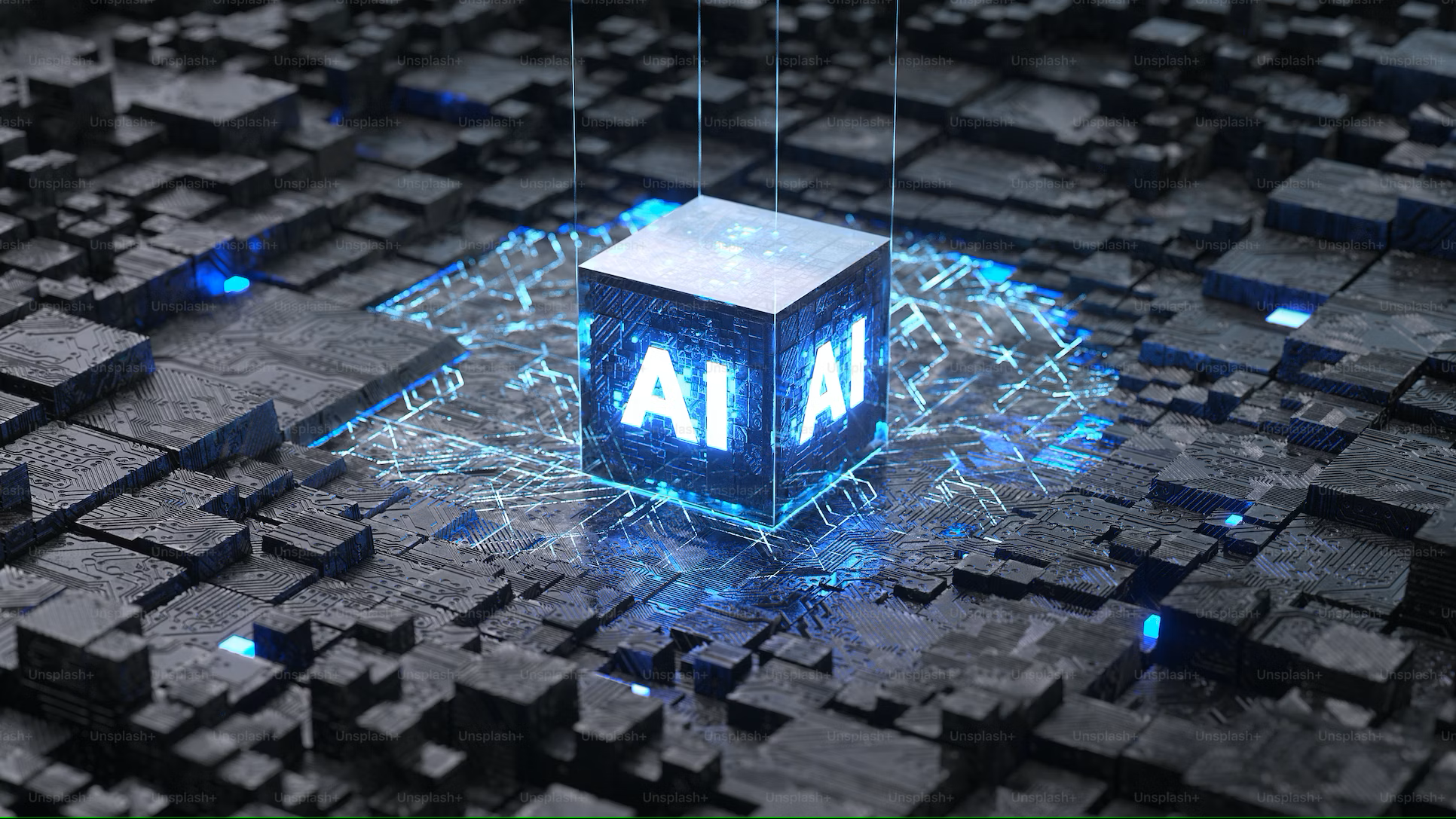
However, advancements in artificial intelligence (AI) and machine learning (ML) have automated routine tasks like feature extraction, classification, and quality checks. Future developments in Artificial General Intelligence (AGI) can allow AI systems to replicate and even surpass human cognitive capacities in various tasks, potentially transforming the geospatial value chain. Beyond AGI, the concept of superintelligence, where machines excel in nearly every field, indicates an even more disruptive future.
Let us explore four key paradigms shaping the evolution of the geospatial value chain:
1. The Conventional Model
2. Present-day AI/ML technology
3. The AGI
4. Superintelligence
The evolution of AI and telecom networks follows distinct paths, yet there are parallels to be drawn. Similar to the evolution of network technologies (from 3G to 6G today), this article associates 3G/4G with the conventional model and present-day AI/ML technologies, 5G with the AGI stage, and 6G with the superintelligence stage.
While the overlap between AI evolution and network advancements may vary from what is considered here, this minor deviation is unlikely to affect the overall conclusions significantly.
The Conventional Model
Before the advent of sophisticated AI, geospatial workflows relied on a linear, manual process that included:
- Data Survey and Acquisition: This employs LiDAR scanning, total station surveys, aircraft, drones, ground-based sensors, GNSS (GPS) equipment, and satellite imagery.
- Digitization and Processing: This relies on programs like MicroStation, AutoCAD, or ArcGIS to manually digitize geospatial features. Large teams performed QA/QC processes to ensure compliance with standards, attribute consistency, and topology.
- Application Development: This step includes custom software solutions, such as asset management, mapping portals, and planning tools. Due to the wide variety of data formats and business processes, the off-the-shelf software often fails to meet each business’s needs, leading to integration issues.
- Analytics and Insights: This last step consists of spatial analysis, site suitability, route optimization, and basic modeling and offers restricted predictive capabilities.
This model was and still is time-consuming and labor-intensive. Moreover, geospatial database sizes are significantly larger than non-geospatial databases. Bandwidth issues are common when accessing updates, uploads, downloads, and viewing these online.
Present-Day AI/ML Technology
Modern AI/ML techniques have introduced significant automation into geospatial workflows with:
- Automated Feature Extraction: By enabling automated feature extraction, deep learning models like Convolutional Neural Networks (CNNs) and vision transformers can identify buildings, roads, or other features in imagery with minimal human intervention.
- Enhanced QA/QC: ML-driven outlier detection also improves QA/QC effort by identifying anomalies in geometries (like overlapping polygons or missing attributes) and drastically reducing manual review times.
- Low-Code/No-Code Platforms: These platforms with integrated AI modules are becoming prominent in application development, freeing teams to concentrate on business logic and workflows rather than creating everything from scratch.
- Data Handling: The capacity of Machine Learning (ML) pipelines to process extensive geospatial data improves the efficacy of real-time analytics and dashboards.
While these advancements streamline operations and reduce workloads, human oversight remains indispensable. In other words, while AI-driven technologies may make repetitive tasks more manageable, domain experts are still essential for guaranteeing that these insights are reliable and pertinent to the context of geospatial analysis. Most workflows still depend on 4G bandwidth and pre-5G networks, limiting their potential scalability.
The Artificial General Intelligence (AGI)
AGI is defined by AI’s ability to reason and learn at or above human intelligence levels in almost any field. In geospatial analytics, this represents a transformative leap through:
- Autonomous Data Collection: AI-driven drones and satellite networks will coordinate and modify data acquisition strategies in real-time. Autonomous data collection will rely on dynamic sensors and adaptive parameters tailored to weather and specific needs.
- Dynamic 3D/4D Modeling: To continuously update digital twins, real time 3D and 4D modeling will combine various sensor streams, such as LiDAR and multispectral data. It will incorporate contextual classification that considers object geometry and purpose (e.g., distinguishing between a school and a hospital). Through self-learning and developing its standards, AGI will streamline disparate data schemas, reducing interoperability issues across sectors like telecommunications and utilities.
- AI Co-Pilots: AI co-pilots will handle next-generation application development, creating customized solutions for various business contexts. At the same time, humans will concentrate on high-level decisions like governance and policy.
Currently, data collection consists of repetitive tasks. When AGI is fully operational with improved workflows in the geospatial value chain, 5G network technology will be the standard, much like how smartphones and social media are commonplace today. The combination of AGI and 5G will significantly advance the geospatial value chain, enabling the world to harness the benefits of geospatial technologies.
The Value Chain Under Superintelligence
Superintelligence has the potential to excel beyond humans in almost every cognitive task, propelling geospatial technology to new heights in the following ways:
- Planetary-Scale Monitoring: Planetary-scale, continuous monitoring will be the norm in this era, where enormous sensor networks of satellites, self-governing drones, and IoT devices will lay the groundwork for delivering ultra-high-resolution data in real time.
- Self-Adaptive Data Models: Systems will even design new sensors or data collection techniques without human input, becoming self-optimizing and self-repairing. Adaptive data models will successfully remove data integration obstacles and improve schemas for new use cases.
- Hyper-Efficient Applications: While humans concentrate on governance and moral supervision, applications will be evolutionary and will be quickly assembled or disassembled to handle tasks like dynamic load balancing for city power grids or short-term urban planning for significant events.
- Unprecedented Insights: As highly intelligent AI uncovers entirely new patterns, relationships, and laws embedded in geospatial data, analytics will evolve beyond predictive modeling. Determining ethical boundaries will remain a primary human function, allowing for almost instantaneous decision-making.
At this stage, the geospatial value chain will be vastly more advanced than we can imagine. If 6G network technology becomes a reality, it will enhance the capabilities of super intelligent systems, further accelerating the influence of geospatial technologies.
Key Differences Across Different Geospatial Technologies
Below is a detailed comparison of the traditional model, current AI/ML, AGI, and superintelligence, highlighting their key features, advancements, and the evolving role of human intervention:
| Aspect | Traditional Model | Current AI/ML | AGI | Superintelligence |
| Data Survey and Acquisition | Manual planning of surveys | AI-assisted data collection | ● Fully autonomous fleets of drones/satellites
● Dynamic sensor parameters |
● Continuous planet-scale monitoring
● Self-optimizing and self-repairing sensor networks |
| Data Conversion and Digitization | ● Manual digitization
● Large teams for QA/QC |
● Automated feature extraction
● ML-based QA/QC |
● Real-time 3D/4D modeling with minimal human oversight
● Context-aware data |
● Instantaneous, hyper-accurate data integration
● Evolving data schemas unified autonomously |
| Application Development | ● Custom-coded solutions
● Integration challenges |
● Low-code/no-code AI modules
● Streamlined or semi-automated builds |
● Domain-aware co-pilot agents
● Continuous iterative improvements |
● Applications spontaneously formed and dissolved
● Ecosystem-level orchestration without direct code |
| Analytics and Insights | ● Basic spatial analysis
● Manual interpretation |
● Predictive models
● Advanced dashboards and real-time analytics |
● Scenario modeling across multiple domains
● Self-learning to refine analytics |
● Ultra-sophisticated pattern discovery
● Potentially beyond human interpretability |
| Human Role | ● Technical operators
● Manual QC and decision-making |
● Strategic oversight
● Data science and validation |
● Governance and ethical oversight
● High-level strategy and policy |
● Defining ethical constraints
● Focus on philosophical, societal, and existential questions |
| Efficiency and Scalability | ● Time-consuming
● Labor-intensive |
● Significant reduction in labor
● Faster turnaround |
● Near-complete automation at scale
● Minimal human intervention |
● Operational beyond human comprehension
● Near-infinite scalability |
Conclusion
The geospatial value chain has evolved significantly, transitioning from manual workflows to AI-driven analysis. Current AI and ML capabilities automate repetitive tasks, allowing specialists to focus on strategic decision-making and quality control.
These technologies advancing toward AGI will transform how we collect and process data, develop applications, and perform analytics. This shift will enable real-time digital twins, dynamic data standards, and highly adaptive applications. In the future, superintelligence could coordinate geospatial decisions and processes across the planet with unmatched speed and accuracy.
However, ensuring that these robust systems support humanity’s broader objectives is essential. Human roles will likely shift toward ethical, policy, and governance considerations as these technologies evolve. To prepare for this shift, stakeholders in the geospatial field must invest in strong governance frameworks, ethical standards, and relevant skills.