The Indian National Geospatial Policy 2022 (NGP) is a landmark policy that aims to make India a world leader in the geospatial sector. The policy recognizes the immense value of geospatial data and knowledge for national development, and it outlines a comprehensive framework for the holistic development of the geospatial ecosystem in the country.
The session started with the keynote address by AS Kiran Kumar, Member Space Commission, where he said, “The World is moving to space technology, where Satellites become a huge source of information or data. These data should be converted into specific solutions with collaboration between different organizations.”
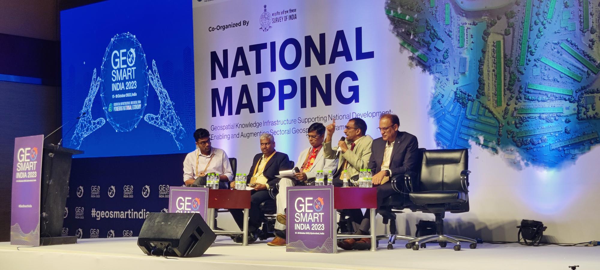
Dr. Debapriya Dutta, Advisor, DST set the stage of the session by asking the panel to talk about the strategy in adopting National Geospatial Policy to enable transition towards a geospatial knowledge infrastructure.
Fostering Innovation and Self-Reliance in Geospatial Data
One of the key objectives of the NGP is to enable the transition towards a Geospatial Knowledge Infrastructure (GKI). A GKI is a comprehensive system that integrates geospatial data, technologies, and information with societal and technological change.
It is a critical enabler for innovation, decision-making, and problem-solving across all sectors of the economy. A geodetic framework is a system that provides an accurate and efficient way to position data. It also provides a uniform language for interpreting and disseminating land information.
The government will invest in the development of a national geospatial data infrastructure, including the collection, processing, and dissemination of high-quality geospatial data.
Dr. S.K Sinha, Additional Surveyor, General Survey of India talked about being making the Geodetic Framework more robust. Implementation of Geospatial Policy depends on infrastructure. He also gave an overview of the National Geospatial Policy emphasizing the 14 Geospatial Themes with the role of NGDR and UGI enabling access to National Data Geospatial Infrastructure using the FAIR principles.
In terms of Mapping Infrastructure, He said, “Map making has been deregulated to spur innovation in the country. With Atmanirbhar Bharat, the policy makes India self-reliant in producing and using Geospatial Data and compete in the Global Space.”
By enabling the transition towards a GKI, the policy will support sustainable national development and improve the lives of all Indians.
Jayachandran, Program Director, TNGIS, Tamil Nadu e-Governance Agency talks about how the National Geospatial Policy has been a big boost to Geospatial Industry. This has empowered the government departments to use each other’s department data. This data is generated using public money for the public.
Geospatial Data for Disaster Preparedness and Response
Geospatial data and technologies can be used to improve disaster preparedness and response especially in remote areas. For example, geospatial data can be used to identify areas at risk of flooding, landslides, and other natural disasters. This information can be used to develop early warning systems and evacuation plans.
Nilay Nishant, Scientist (SE), Northeastern Space Applications Centre (NESAC), Department of Space talks about having access to high resolution satellite images helps in bringing in resolution and relief to NE natural disasters and infrastructure. He said, “Penetration of local Drone Industries in remote areas using Earth Observation Data can be done by partnering with the local drone companies of the area.”
The NGP envisages a GKI that is designed to meet the needs of its users, including citizens, businesses, and government agencies. The GKI should be built on a decentralized architecture that enables the sharing and collaboration of geospatial data and knowledge across different stakeholders.
Vijay Kumar, Sr. Vice President & CTO, Esri India talks about how there needs to be an integrated development plan for implementation of national geospatial policy. In a short-term approach, data can be opened as it is where the tech framework can be set up. He said, “Detailed Planning is required with coordination between the different thematic departments.”
The NGP is a significant step towards building a Geospatial Knowledge Infrastructure in India. It is a policy that is well-aligned with the country’s digital transformation goals and has the potential to accelerate economic growth and improve the lives of all Indians.