
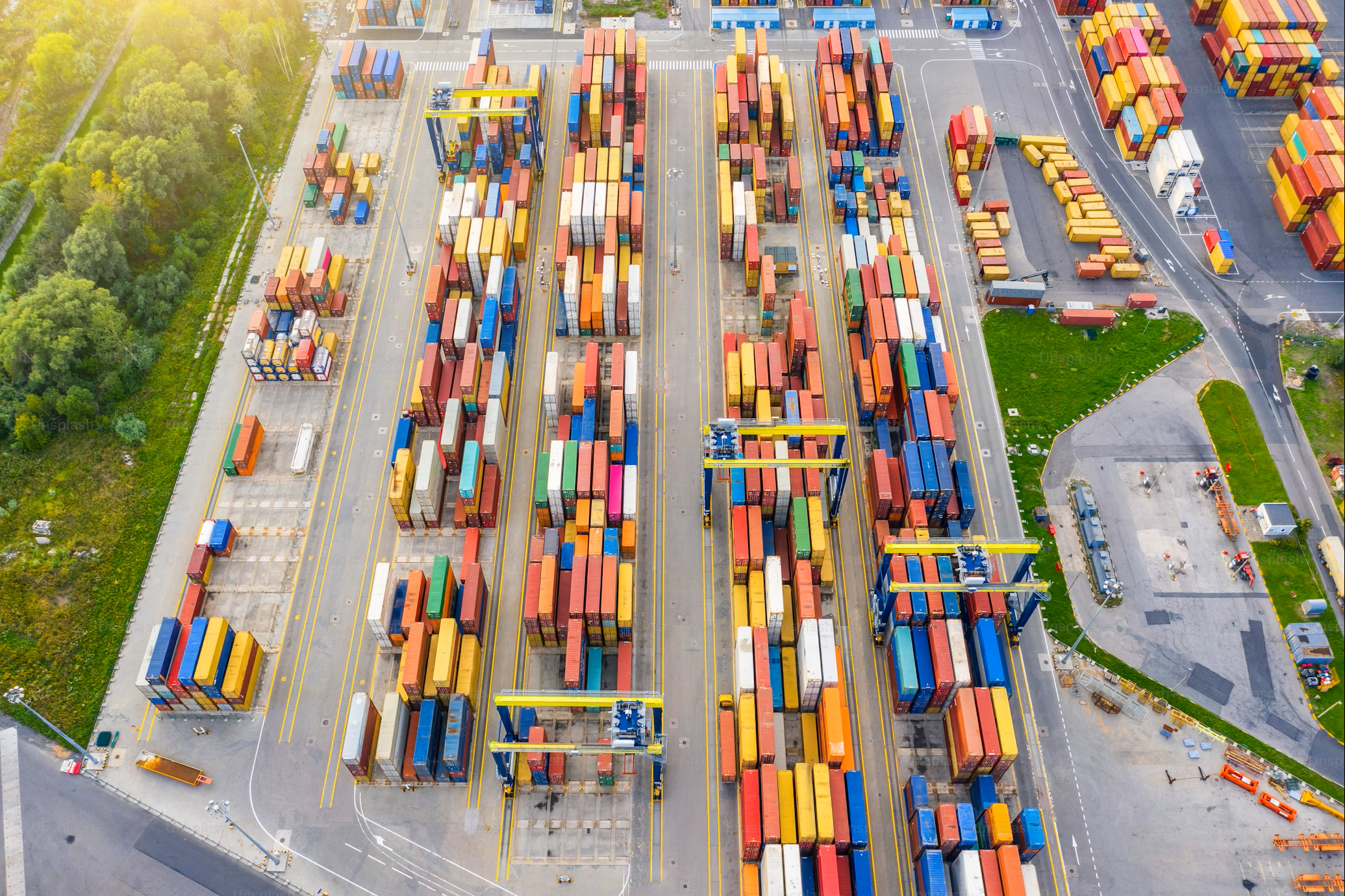
In the past few years, we’ve seen how unprecedented events can turn supply chains upside down—most notably, the Suez Canal blockage and more recent conflicts that added over 10 days to transportation times.
Needless to say, data-driven decisions are pivotal to maintaining processes that are as seamless as possible. However, coordinating and managing these data points can be a massive burden for supply chain managers.
The “where” in supply chain data is just as vital as the what, how, and why. That’s where geospatial technology and location intelligence come into play. Let’s examine how geospatial technology is revolutionizing supply chain logistics to be more robustly interconnected and how organizations can integrate this solution.
Bolstering Resilience
There are four broad areas in which location intelligence is really making a dent in supply chain resilience: load planning, smart mobility, risk monitoring, sustainability, and strategic site selection.
Location intelligence enhances the efficiency of network analysis by visualizing routes, identifying bottlenecks, and optimizing network configurations. When it comes to planning loads and routes, this can be a gamechanger for cutting down on emissions and costs.
For instance, a large-scale refrigerated goods logistics company covers hundreds of thousands of miles on a monthly basis. Every empty mile, where drivers are traveling without transporting any goods, such as on return trips from deliveries, wreaks havoc on the company’s carbon footprint and finances. Conversely, geospatial technology can help supply chain managers allocate drivers according to where they can derive the most value from their routes to deliver more coverage for clients—while keeping mileage and time top of mind.
Additionally, geospatial technology can yield real-time insights into fleet, fuel, driver, and vehicle performance through GPS and telematic data. This helps end users keep abreast of smart mobility and risk monitoring by knowing where vehicles are currently located and also ensuring drivers are adhering to speed and safety protocols. These insights can help organizations gauge fuel consumption and areas of improvement to strengthen the case for sustainability in each mile.
Mitigating Risks
When it comes to climate concerns, organizations typically face two types of risks: physical and transitional. Geospatial technology’s real-time insights can help mitigate such risks. This includes flagging threats like disruptive weather, geopolitical issues, or infrastructure problems. This happens through geospatial data—satellite imagery, GPS data, and geographic information system (GIS) data—which is integrated into location intelligence systems.
Moreover, sustainability officers are mandated to measure, monitor, and declare their operational carbon and embodied carbon footprints. Failing to do so can put companies at reputational risk. Geospatial AI can help sustainability officers accurately report on carbon emissions to fulfill regulatory requirements.
Globally, companies are required to declare operational and supply chain risks due to climate change. This technology can make suppliers more proactive in their risk management, as real-time insights strengthen their ability to adapt and respond competently to hazards—in fact, geospatial AI can help simulate climate change hazards by combining climate and satellite data. Moreover, it can be integrated into wider ecosystems so that when disruptions do occur, companies are equipped to manage their extended supplier networks.
An added bonus of leveraging this technology is that suppliers can stay on top of physical safety. The first instance is preemptive, where alerts can notify teams to avoid certain routes and avoid possible accidents. Secondly, when an incident takes place, central teams can be alerted when a vehicle is down and a driver isn’t responding. With the satellite tracking system, pinpointing drivers’ exact locations can be achieved speedily to ensure rapid response.
Supercharging Analytics with the AWS Sagemaker Geospatial Platform
For many organizations, location intelligence and geospatial data yield huge amounts of analytics and insights that drain manpower, cost, and time resources. The AWS Sagemaker Geospatial platform is transforming data processing. Its AI-powered capabilities make the analysis of large volumes of geospatial data much more manageable.
Moreover, this tool yields customizable analytics and visualization tools with personalized dashboards, which is pivotal to enhancing decision-making processes as it provides organizations with clear insights from complex data. The platform also possesses advanced machine learning capabilities, integrating ML models to analyze geospatial data and providing predictive analytics like demand forecasting and route optimization.
For supply chain managers concerned about integration processes, this technology supports real-time data streaming and integration, enabling dynamic adjustments in supply chain operations. The platform integrates seamlessly with other AWS services, providing organizations with a comprehensive solution for data storage, processing, and analytics.
Best Practices for Adopting Geospatial Tools
Implementing geospatial tools doesn’t happen overnight—it takes adapting to the technology and building clear internal strategies. The best way to start is for managers to define clear objectives and use cases for utilizing geospatial technology and location intelligence. For example, you can map out gaps in existing processes across your supply chain.
Once you’ve established your company’s specific needs, invest in the right technology. Importantly, choose platforms and tools that can handle large datasets and integrate them with existing systems. By nature, geospatial technology is resource-intensive—it needs people, stringent processes, and sufficient data to function.
Whenever data enters the equation, it’s crucial to ensure its accuracy. Frequently update and validate geospatial data to maintain accuracy while making sure your machinery and workforce are enabling geospatial technology to capture data regularly. This can be scheduled on a regular basis to guarantee the continuity of supply chain management processes.
Additionally, training programs should be provided to ensure that employees can effectively use new tools and correctly interpret the insights—teams have to be upskilled on specialized geospatial technology, its processes, and how solutions can be applied to resolve business problems. It’s also critical that they have ample opportunity to understand how these tools work in real scenarios. For instance, simulations and in-depth workshops are great training techniques so that employees gain and grow the necessary skills to work with these tools.
Moreover, management buy-in is key to properly integrating this solution and ensuring projects are successful when utilizing it. That means geospatial technology has to be ground-truthed to establish trust with stakeholders and nurture widespread adoption through training programs.
Finally, continuously monitor the impact of geospatial technology and location technology on supply chain performance and make necessary adjustments on a regular basis. Leveraging insights directly from the platform and benchmarking these against strategic and operational goals is a great way to gauge performance.
Geospatial technology is the present and future of supply chain management as the world continues to face geopolitical uncertainties, climate change issues, and shortages. Making the most of the solution requires a holistic and interconnected approach that is powered by the right data. Identifying where opportunities lie to strengthen supply chain resilience and mitigate risks will help organizations assess their current needs and how this technology can fit into the bigger picture to future-proof their supply chain strategies.


