The past few months have been very unkind to the world. Wildfires, high temperatures, drought are some of the impacts. Make no mistake, this is Climate Change-induced global warming. In India, the Monsoons have been greatly disturbed.
While in many areas there is insufficient rainfall in other areas, particularly in the Lower Himalayas, repeated episodes of violent weather, has created havoc with the infrastructure, destroying roads, bridges, hotels and habitations. The inhabitants of these areas and stranded tourists were left without electricity, water and food.
The importance of proper planning, last-mile infra connectivity, safeguarding livelihoods, and developing Climate-resilient infrastructure has been brought to the fore. The unplanned development of Joshimath and its dire consequences were an early warning of things to come.
What is happening in the Lower Himalayas reinforces the lessons. Giving the go-by or paying lip service to environment issues and climate change is resulting in the mess, which takes a huge socio-economic toll. Infrastructural planning and implementation has to be able to take into account environmental factors and the destructive power of a changing climate. In this context, the importance of clear and comprehensive information and data visualization is essential for the planning and decision-making.
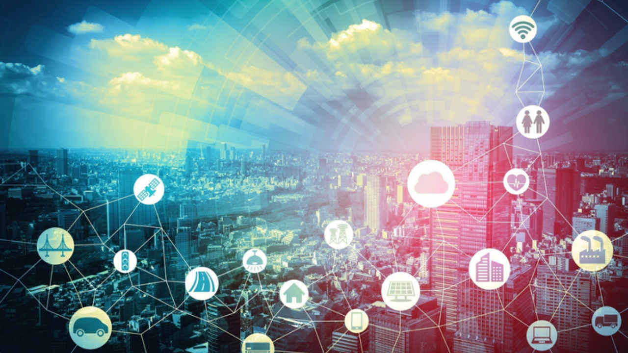
Such information can only be provided by geospatial systems supported by comprehensive data acquisition from sensors and people. All agencies involved in project planning, execution and monitoring must make use of modern data acquisition systems and geospatial analytics. This seems to be catching on.
In India facilities such as the Gati Shakti are a step in the right direction. Integration of different methodologies such as BIM with GIS is clearly the way forward. Creation of Digital Twins using the power of Lidar scanning and satellite and aerial imagery will create an information base on which all activities can be planned, executed and monitored. It is also important to understand the role of citizens and involve them as stakeholders in a two-way interaction for data and for evaluation of plans.
There is a need to combine different initiatives under a common goal. Separate activities such as Smart Cities, Infrastructure, and Environment need to be part of a holistic approach because there will be compromises to find acceptable solutions, balancing competing, and often conflicting, needs of various sections of government, industry and citizenry.
A common database, populated with curated data from different sources which can be accessed by all sections of society is needed. Analytics will play a major role and the use of techniques of Big Data and Artificial intelligence must be brought into play. The real challenge is to plan for an ever-changing future. Linear projections must be replaced by lateral thinking.
Disclaimer: Views Expressed are Author's Own. Geospatial World May or May Not Endorse it


