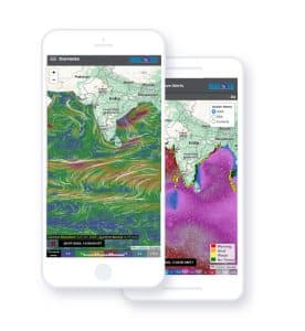
As geospatial data becomes more available, affordable, better quality and easier to integrate into workflows, it will play an increasingly important role across government and commercial organizations. Satellite imagery is often the connective tissue from which valuable information is derived or mapped on for visual context.
Despite a global surge in demand for high-resolution imagery and a maturing market, lingering high costs associated with building and operating older more expensive constellations still pose a barrier for many customers. New innovations, like the ones we’re developing at EOI Space, will help usher in a new generation of geospatial data consumers by providing the highest-resolution satellite imagery available (15 cm) at a competitive price.
Embracing satellite imagery to enhance business operation efficiency
The pandemic made many companies embrace satellite imagery for the first time—and in new ways, like insurance companies and residential construction analytics firms that could not perform in-person site visits. In many cases they paired imagery with other kinds of data and ML to get the answers they needed. Incorporating Space increased their operational efficiency, making them resilient to future global economic disruptions. When it comes to policy, the broadening adoption of geospatial data will create a new nexus for creative cross-government collaborations and public-private partnerships.
Democratization of geospatial data
I foresee many trends, and most have to do with making it easier to acquire imagery, making it more readily usable and applying advanced programs to extract greater value from the data. In the not-so-distant past, customers waited days to receive massive files of grainy 1-m+ resolution imagery. I predict more processing and analysis will take place as close to the source of the images as possible, enabling actionable insights to be delivered to decisionmakers within minutes or seconds.
Satellite imagery is often the connective tissue from which valuable information is derived or mapped on for visual context
Companies along the commercial space value chain have rapidly innovated and passed their cost savings along to customers. This has been especially true in the launch phase, which is often one of the biggest cost burdens of deploying a satellite constellation. Benefitting from the lower launch costs and other operational improvements, EOI Space will soon provide the highest-resolution satellite imagery available at a lower price than currently available lower resolution imagery options.
Innovative Solutions
We’re set to begin launching our first six satellites, part of our Stingray constellation, into Very Low Earth Orbit (VLEO) in early 2024. Flying at this lower altitude lets us avoid the increasing congestion and risk of collision in the more populated Low Earth Orbit (LEO). VLEO comes with some obstacles, such as increased drag, which have deterred others, but our proprietary electric propulsion system and unique design enables our Stingray satellites to reliably maintain their orbit for many years.
Being closer to Earth means our satellites—and customers— benefit from higher resolution images. The detail of 15-cm reso- lution imagery enables keeping tabs on the location of valuable assets and watching for risks like land erosion or illegal encroach- ment. Additionally, onboard supercomputing means image processing and analysis can be done instantly, before being down linked in a readily usable format. We’re excited to begin delivering the first images to customers and continuing to evolve and innovate as their needs and the world around us change.
ALSO READ: Geospatial Data Enables Sustainability
(Christopher Thein is the CEO of EOI Space. The views expressed in the article are the personal opinions of the author.)
Disclaimer: Views Expressed are Author's Own. Geospatial World May or May Not Endorse it