
Spatial data or Geospatial data describes any data related to or containing information about a physical object that has shape, size, and particular location on the Earth’s surface and can be represented in a geographic coordinate system. In simple words, data which is collected through physical real-life locations such as towns, cities, countries, islands, etc. is known as spatial data.
The data consists points, lines, polygons, and other geographic and geometric data primitives, which can be mapped by location, and used by a communication system to identify a particular location. By leveraging the power of geospatial data, people can make better and more informed decisions.
Types of Spatial Data
Not only location-specific information, but it also consists of other types of data like 3D Point Cloud data, LiDAR data, etc. Spatial data can be classified as:
Vector Data
Vector data is a geographical representation of the world via geometric objects such as points, lines, and polygons. A line is created by connecting points and then by connecting lines, it creates an enclosed area that is called a polygon. Vectors represent the general structure of objects on the Earth.
Raster Data
Raster data talks about multidimensional images from satellites, drones, and other kinds of camera sensors. Raster data is a data type where data is stored in matrix of pixels organized into rows and columns. It refers to imagery such as aerial photographs, imagery from satellites, digital pictures, and scanned maps.
2D Spatial Data
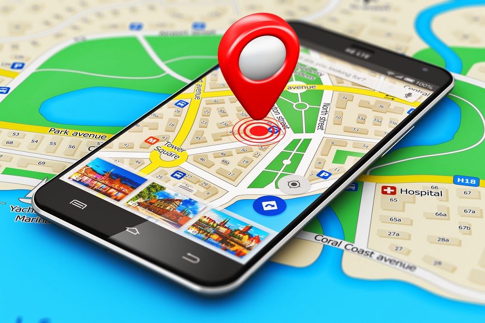
To identify the exact location on the Earth, a geographic coordinate system is used a two-dimensional data surface. In geometry, it is the x-axis and y-axis but in geography, it is latitude (horizontal lines that run north-south) and longitude (vertical lines that run east-west). This 2D spatial data is mainly used in floor plans. The simplest example of it is Google Maps which uses geometric spatial data to provide accurate directions.
3D Point Cloud Data and LiDAR
There is also another type of data that is called 3D point cloud and LiDAR data. To collect LiDAR data, laser light is transmitted from a transmitter to an object. The light gets reflected from the objects. In this process, the time of flight is used to develop a distance map from the object. 3D data is the data that gathered information from the real world with x, y, and z coordinates. 3D data is very helpful in providing information. It can be used to solve many problems happening on Earth’s surface. 3D and LiDAR data is used in shoreline mapping, hydrographic surveying, emergency response, and coastal vulnerability analysis.
Spatial data has a significant role to play in different domains. It helps in IoT (Internet of Things) to use remote sensing for data collection. During natural disasters, geospatial data helps to analyze which area is more affected. In transportation and logistics, it is used to analyze specific routes, make accurate time estimations, and for delivery tracking in real-time.


