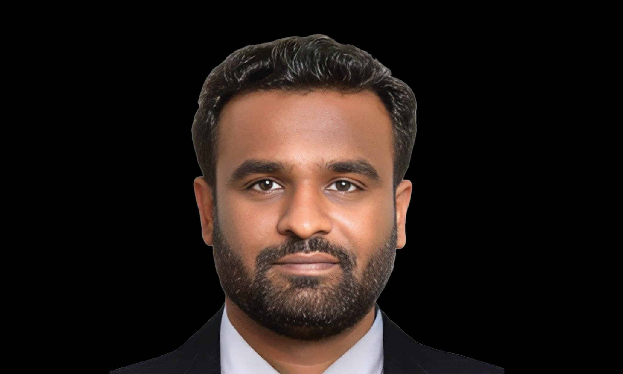
In an exclusive interview, Dr Nithiyanandam, Head of the Takshashila Institution’s Geospatial Research Program discusses India’s unique approach to military space development and the increasing importance of geospatial in defence.
Considering the need for interoperability between the army, navy, air force, and space organisations, how can India develop an effective space strategy?
There is a need to maximize the use of space-based resources, focusing particularly on downstream applications, including optimising requirements through defence challenges. Ideally, sharing raw data from a central source could be beneficial, particularly when multiple services have diverse applications that rely on specific electromagnetic spectrums.
For instance, one scientist might utilize the spectrum to analyse changes in vegetation on land, while another scientist could apply it to study water bodies. It depends on different scientist’s interpretation of satellite images for different purposes.
As the threat from land, water, and air increases, the monitoring and mapping of sea and land do not belong to just one service.
What role can India’s private sector play in advancing the military space program and bolstering the nation’s space capabilities?
The focus of the Indian Private Sector currently is on expanding our remote sensing capabilities regarding launches, constellations, and building larger satellites. There is less emphasis on scientific research and exploring new frontiers as there is no incentive or business opportunity currently to invest time and money in these areas.
There is a need to innovate and push to new arenas of space-based applications in dual-use technology applications in the civilian domain.
We’re seeing rapid advancements in AI and ML. In what way can emerging tech like this be used in national security?
Technology is growing at a rapid pace in India and should be Used to improve our efforts and increase our preparedness, surveillance, and counteraction against possible threats. For effective utilisation, we need to clearly understand the technology and apply it at the right time for the correct application.
This means that not all applications require AI and ML for information extraction instead simple digital image processing and classical numerical modelling techniques may provide the necessary output. This prevents the demand for AI and ML in every software solution.
How can geospatial technologies effectively integrate into existing military and intelligence frameworks to understand national security risks?
There is a need to sensitize and build capacity with different agencies and primarily stakeholders who are components of the national security framework including state police and border security forces. This will bring awareness on new applications of geospatial technologies for the workforce in the national security domain.
The tool can also help in reducing the workforce and money we are spending at present. Secondly, geospatial technology has different vital components, not just maps. The opportunity for defence personnel to learn a broad spectrum of geospatial technology is limited, as teaching in traditional setups still focuses on image interpretation of maps and cartography.
Thirdly, Geospatial technology is a matter of “thinking spatially,” and not just the data and computing facility. There should be a careful appreciation and utilisation of the open-source information available in the domain.


