The next frontier in geospatial evolution - comprehensive, future-ready framework that meets the growing demand for real-time, trusted, and intelligent spatial services.

The world is evolving at an unprecedented pace, driven by rapid technological advancements and the urgent need to address complex global challenges. From climate change and public health crises to urbanization and geopolitical uncertainties, decision-makers require more than traditional data—they need integrated, real-time insights to navigate effectively. The Fourth Industrial Revolution (4IR) has ushered in an era defined by intelligent automation, big data, and digital connectivity, rendering geospatial knowledge indispensable. The geospatial technology landscape is undergoing a paradigm shift, driven by real-time data generation, multisource integration, and AI-driven analytics.
The Geospatial Knowledge Infrastructure framework is, thus, a strategic imperative which, as governments and industries embrace digital transformation, enables actionable intelligence from spatial data to drive competitive advantage, policy responsiveness, and societal resilience across sectors like climate resilience, infrastructure planning, supply chain optimization, and public health, fostering sustainability, inclusivity, and growth.
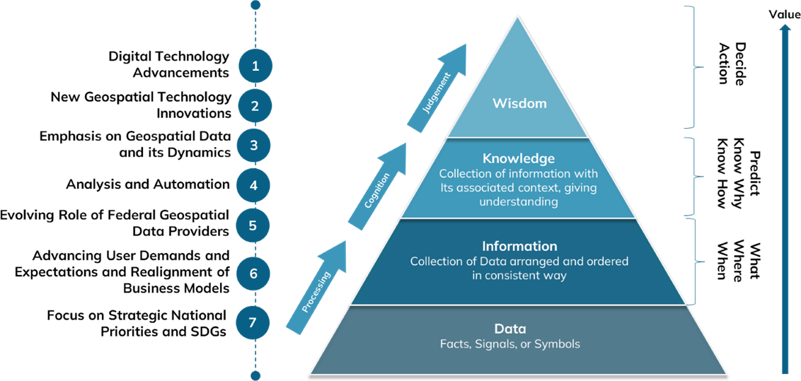
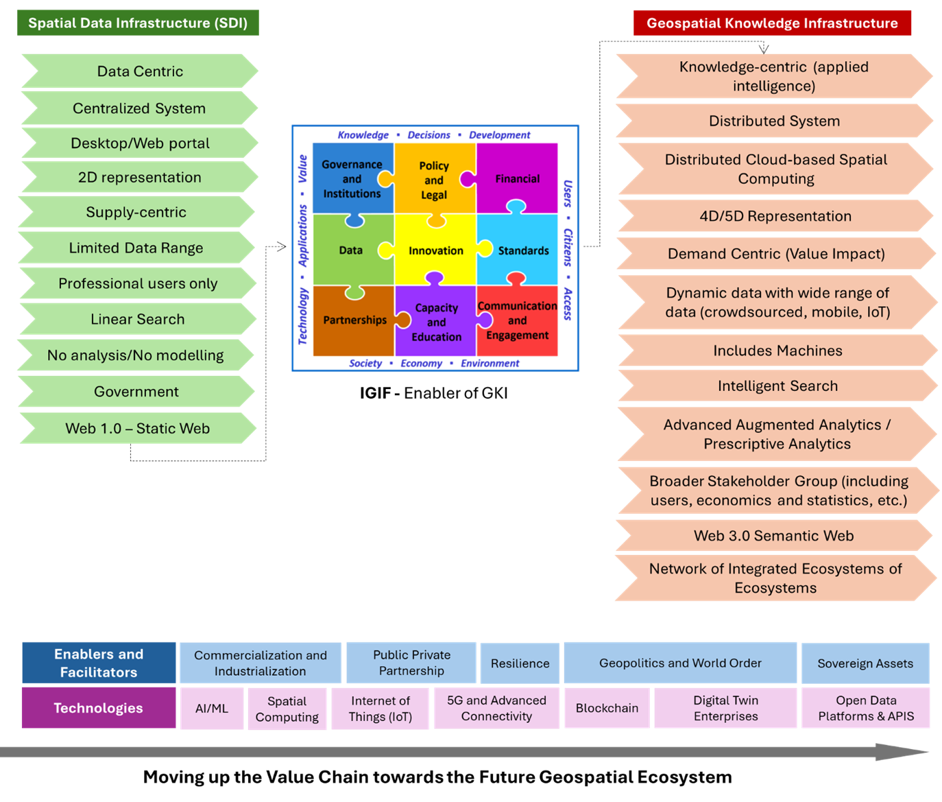
“The Geospatial Knowledge Infrastructure (GKI) provides a comprehensive blueprint for integrating digital economies, societies, and citizens with geospatial approaches, data, and technologies, aiming to deliver location-based knowledge, services, and automation expected in the Fourth Industrial Revolution (4IR), and by moving beyond the current focus on data infrastructures to knowledge infrastructures, it supports the progression from raw data to applied knowledge and intelligence.”
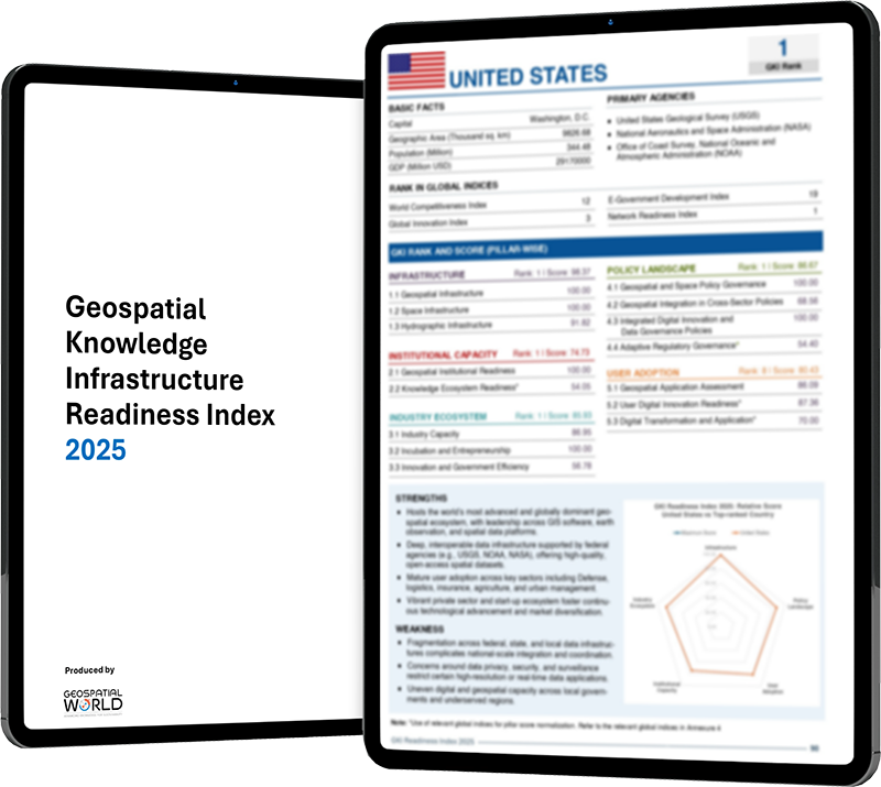
The Geospatial Knowledge Infrastructure (GKI) Readiness Index 2025 represents a critical instrument for assessing a nation's maturity in developing, managing, and utilizing geospatial knowledge for policy formulation, economic development, and national resilience. It evaluates 75 countries across five foundational pillars to determine how effectively geospatial data, infrastructure, and institutional frameworks are integrated into national development agendas. The index highlights global disparities and best practices in geospatial readiness, offering a data-driven lens on how geospatial knowledge supports decision-making, innovation, public service delivery, and economic resilience. It serves as a strategic tool for policymakers, private sector leaders, and development institutions to benchmark progress of geospatial, space, and hydrographic infrastructure, identify institutional capability and industry capacity gaps, and foster collaboration in building geospatially enabled societies.
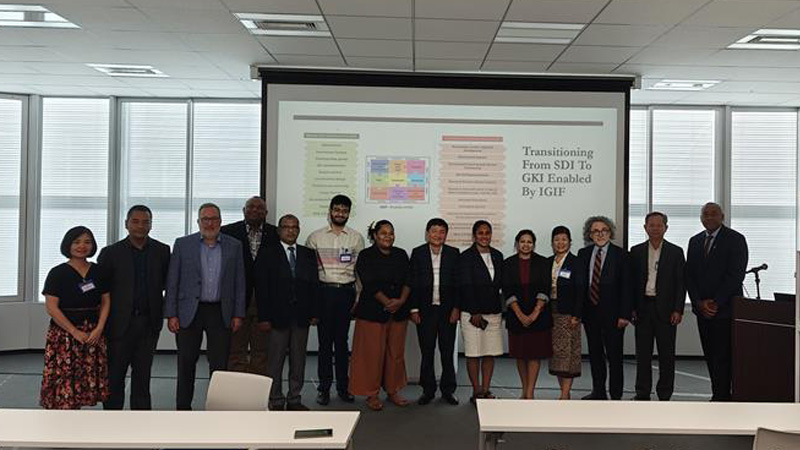
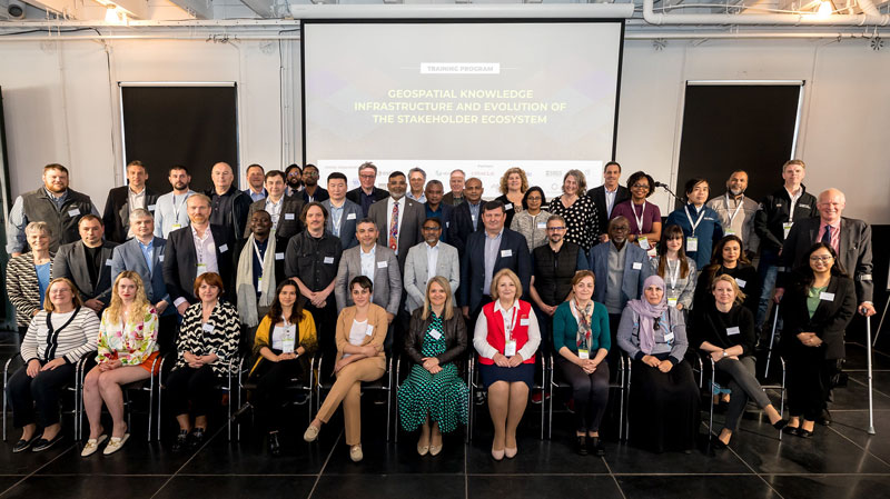
GKI Training programs are meticulously designed to equip stakeholders from government bodies, national mapping agencies, the geospatial industry, academia, and the private sector with the expertise needed to build adaptive, resilient, and inclusive geospatial infrastructures that support sustainable, innovative, and competitive economies. These programs address key questions regarding the growth trajectory of geospatial knowledge and examine how modern technology ecosystems—such as AI, Big Data Analytics, Cloud Computing, and Digital Twin—are transforming various user segments. The training emphasizes the critical shift from data to actionable knowledge, aiming to enhance the data management capabilities of National Mapping Agencies by deepening their understanding of geospatial infrastructure, promoting data sharing and interoperability, improving efficiency, enabling better decision-making, fostering collaboration, and preparing them to adapt to emerging technologies.


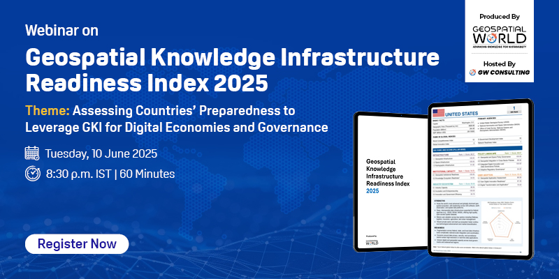
The webinar on the GKI Readiness Index 2025 will provide a focused exploration of the index’s significance within the context of national development priorities. The session will discuss in detail the critical role of GKI readiness. A detailed presentation will unpack the 2025 key findings, and the event will end with a moderated Q&A and closing remarks on next steps, collaboration, and policy actions.
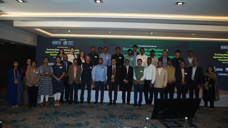
Geospatial World’s Thought Leadership Report “Evolving Role of National Mapping Agencies: Transitioning to Geospatial Knowledge Infrastructure”, released on the eve of the Fourteenth Session of the UNGGIM Plenary, delves into the value of enhanced collaboration between National Mapping Agencies (NMAs) and industry in reshaping geospatial capabilities across diverse economic strata.
The white paper outlines the pivotal role of hydrospatial knowledge in managing the ocean ecosystem and addressing challenges put forward by the Ocean Decade. It dives deep into the data and knowledge priority areas identified as part of Ocean Decade challenges, and highlights the role of integrated hydrospatial knowledge in addressing these challenges.
This discussion paper outlines the need to transform national geospatial ecosystems through strategic leadership and policy shifts, enabling the move from data to knowledge using advanced digital technologies. It introduces the Geospatial Knowledge Infrastructure (GKI) as a framework to integrate geospatial information into digital societies for solving global challenges.
The paper introduces the concept of Geospatial Knowledge Infrastructure (GKI) as a foundation for integrating geospatial and digital thinking to support sustainable economic, social, and environmental outcomes. It was built on global consultations and aims to provide a blueprint for a future-ready, integrated infrastructure involving government, industry, academia, and citizens.


VP-Consulting
Geospatial World
[email protected]

Senior Research Analyst
Geospatial World
[email protected]