GEOSPATIAL INFRASTRUCTURE:ADVANCING NATIONAL & REGIONAL
GEOSPATIAL ECOSYSTEM
Overview
Geospatial infrastructure is a fundamental pillar of modern governance, economic planning, and security strategies. As nations in the Middle East accelerate digital transformation, the role of geospatial data, technologies, and frameworks is becoming increasingly vital.
The GeoGov Middle East Summit is a strategic initiative designed to strengthen the geospatial ecosystem in the region.
It shall serve as an unique initiative to create a confluence of a high-level and forward-looking G2G and G2B forum which brings together the leaders and experts from across government, industry, and academia to discuss how geospatial knowledge infrastructure, spatial computing, and digital twin technologies are driving economic growth, resilience, and governance efficiency across the region.


Regional Focus
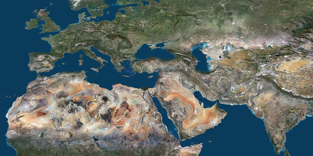
The Middle East region is currently undergoing unprecedented growth, transforming its economy and society while continuing to rank among the world’s fastest emerging markets. The rapid expansion of the ICT sector provides Middle Eastern nations with vast opportunities to strengthen their digital capabilities and contribute to regional economic and technological development goals. The adoption of geospatial technology has accelerated, becoming deeply integrated with mainstream digital systems, offering innovative solutions to address both economic and societal challenges.
Economic
Transformation
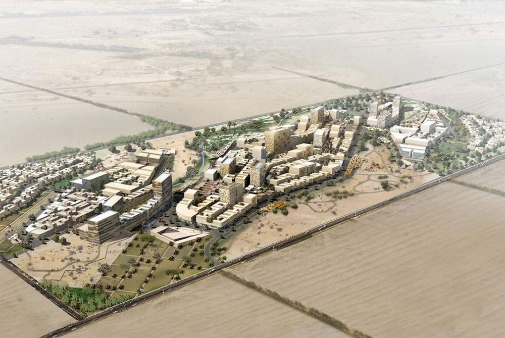
The Middle East geospatial market is witnessing an annual growth rate of approximately 8.5%, with increasing investments in smart cities, infrastructure modernization, and national mapping initiatives. The UAE and Saudi Arabia alone have pledged billions in geospatial and space-based projects, reinforcing their commitment to digital governance and economic diversification.
Geospatial Integration in National Strategies
Countries like the UAE, Qatar, and Oman have incorporated geospatial intelligence into their national development agendas. These strategies emphasize real-time data analytics, location-based services, and AI-driven mapping to enhance urban planning, environmental monitoring, and public service delivery.
Security and
Resilience
With geopolitical dynamics constantly evolving, the role of geospatial intelligence in national security has grown significantly. Advanced geospatial applications are being utilized for defense surveillance, border control, disaster preparedness, and climate resilience, ensuring a more secure and sustainable regional framework.
Space and Earth
Observation Advancements
The Middle East is emerging as a leader in spacebased geospatial technologies. Initiatives such as the UAE’s Hope Mars Mission, Saudi Arabia’s Vision 2030 space strategy, and satellite programs in Egypt and Bahrain highlight the region’s commitment to leveraging geospatial intelligence for scientific research, environmental sustainability, and economic growth.
Conference Objectives
Enhancing Economic Development
Understanding the economic impact of space and geospatial intelligence on infrastructure, transportation and mobility, Climate resilience, and urban development.

Spatial Computing and Digital Twins
Showcasing innovations in digital mapping, real-time spatial analytics, and AI-driven geospatial applications.

Advancing Regional Collaboration
Encouraging crossborder cooperation and public-private partnerships to establish a seamless geospatial ecosystem.
Policy and Standardization
Addressing governance frameworks, data interoperability, and strategies for national mapping agencies to transition into geospatial knowledge hubs.
Agenda
Plenary Sessions


Target Audience

Government Officials and Policymakers

National Mapping and Geospatial Agencies

Technology and Solution Providers

End User Agencies and Enterprises

Academia and Research Institutions
Regional Markets : Size & Growth
Sponsors and Partners
Strategic Sponsor

Silver Sponsors


Bronze Sponsor

Co-Host

Co Sponsors


Produced By