Last Saturday, when Israelis were planning to celebrate the holiday of Simchat Torah, they faced surprise attacks from the globally designated militant group, Hamas that controls Gaza Strip.
This happened on the 50th anniversary of the 1973 Yom Kippur War that changed the politics of Middle East.
Followed by thousands of gruesome images and videos flooding the social media feeds and news channels covering the militants infiltrating Israel fenced border by paragliders, and attacking soldiers, communities living in the border area and forcefully taking Israel residents hostage
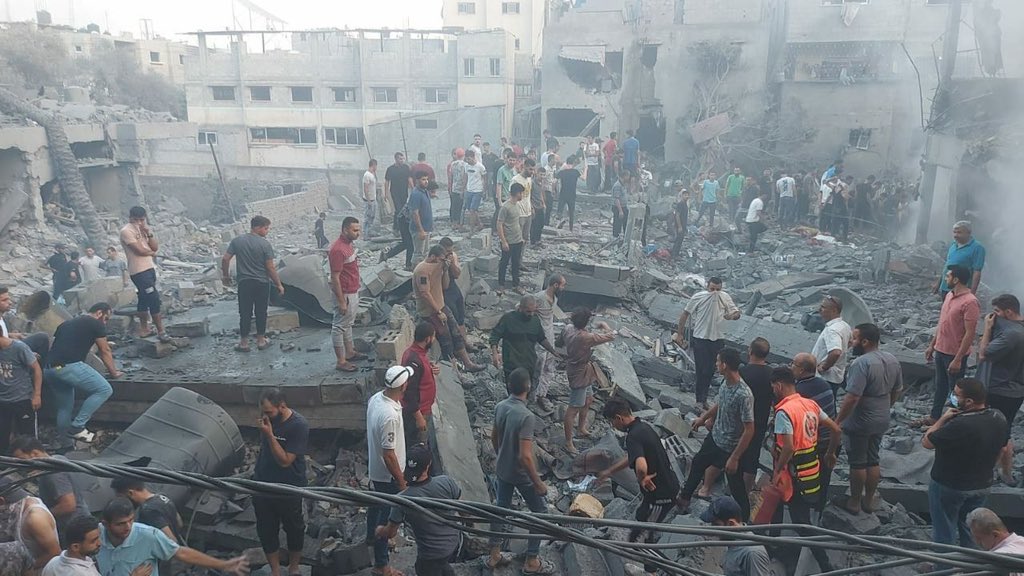
Hamas launched 5,000 rockets in over 20 minutes. Both sides have suffered thousands of causalities. International community calls for restraint.
Gaza Strip | Oct, 11th. pic.twitter.com/GtYRfJ9JN1
— TIMES OF GAZA (@Timesofgaza) October 11, 2023
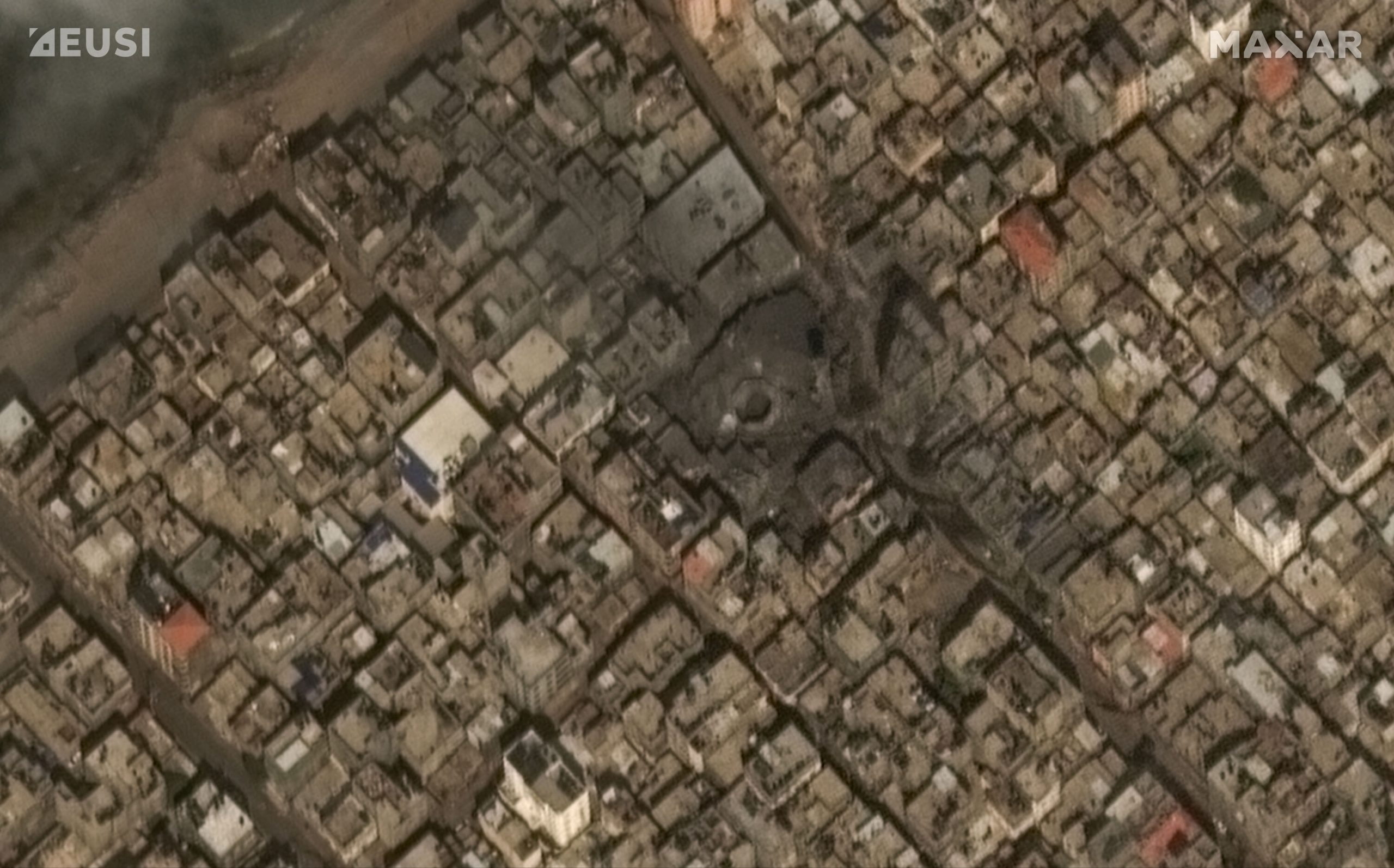
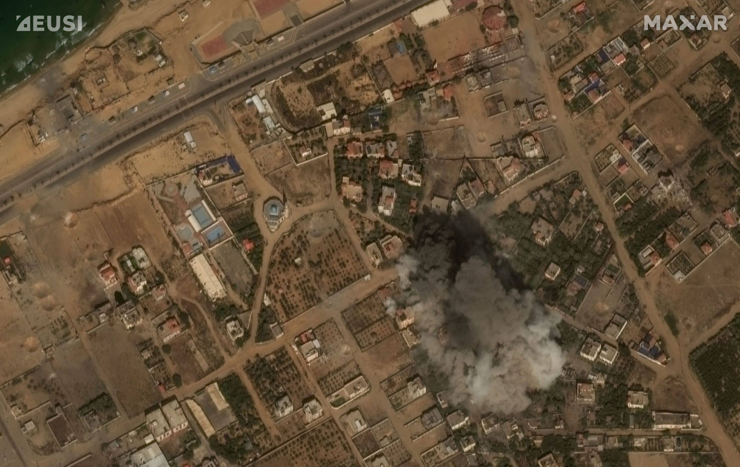
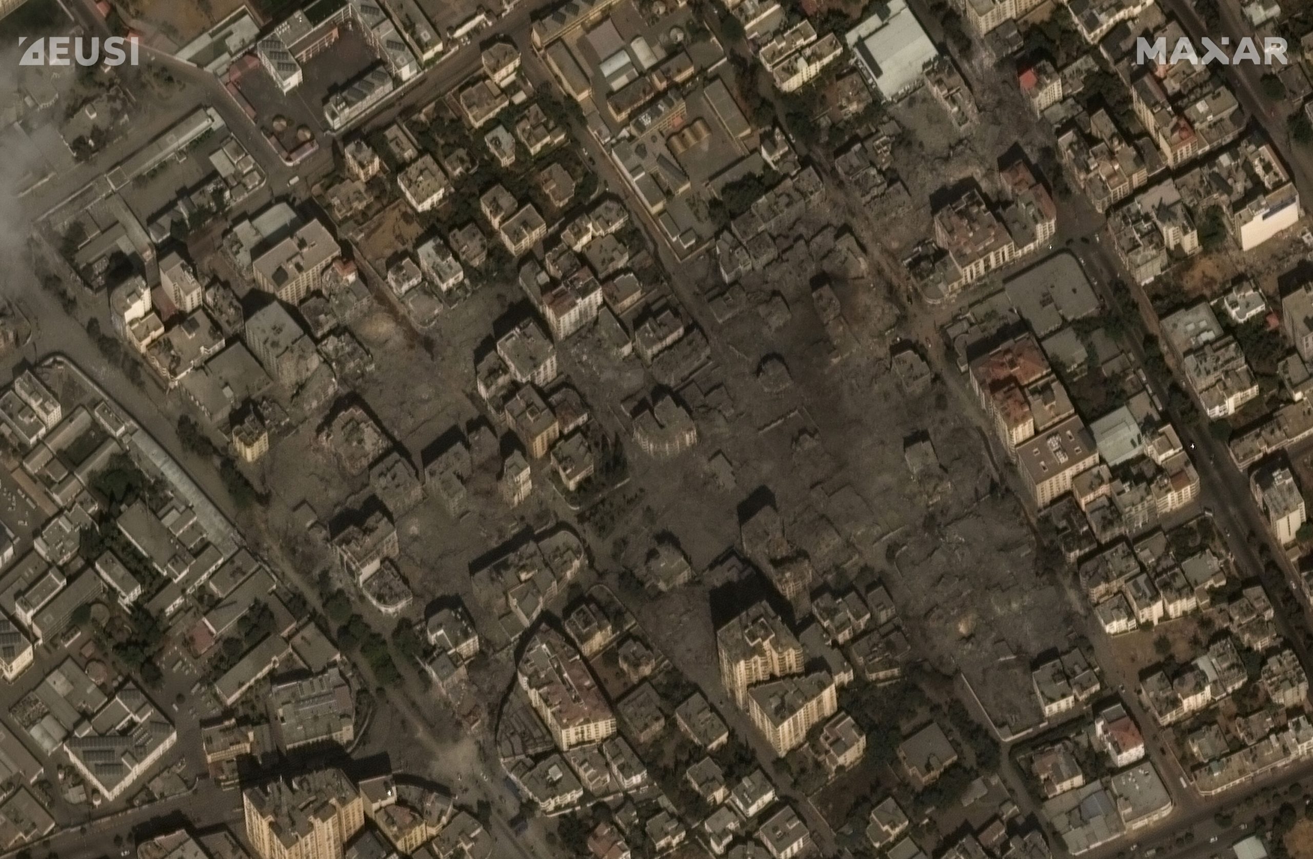
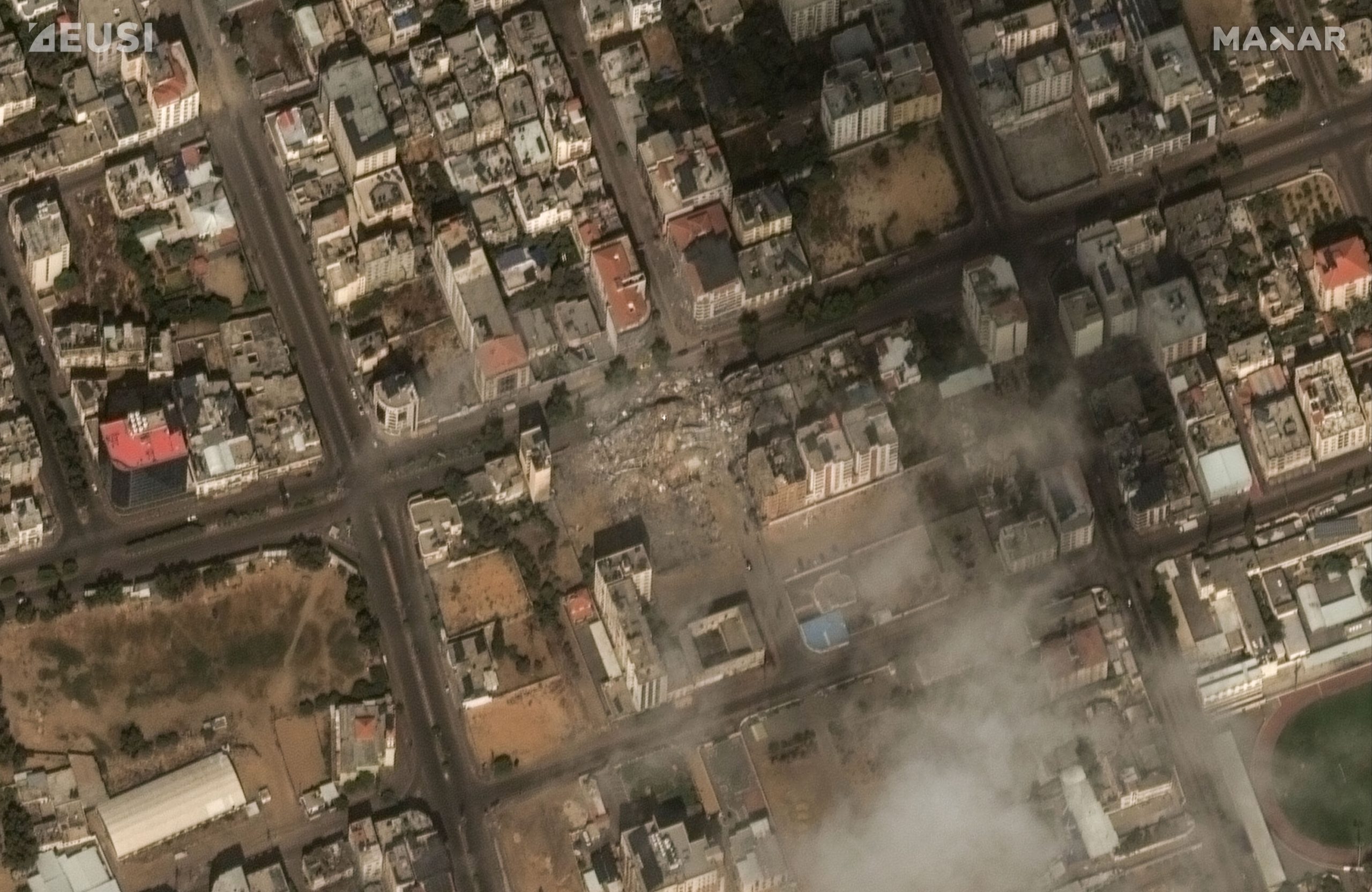
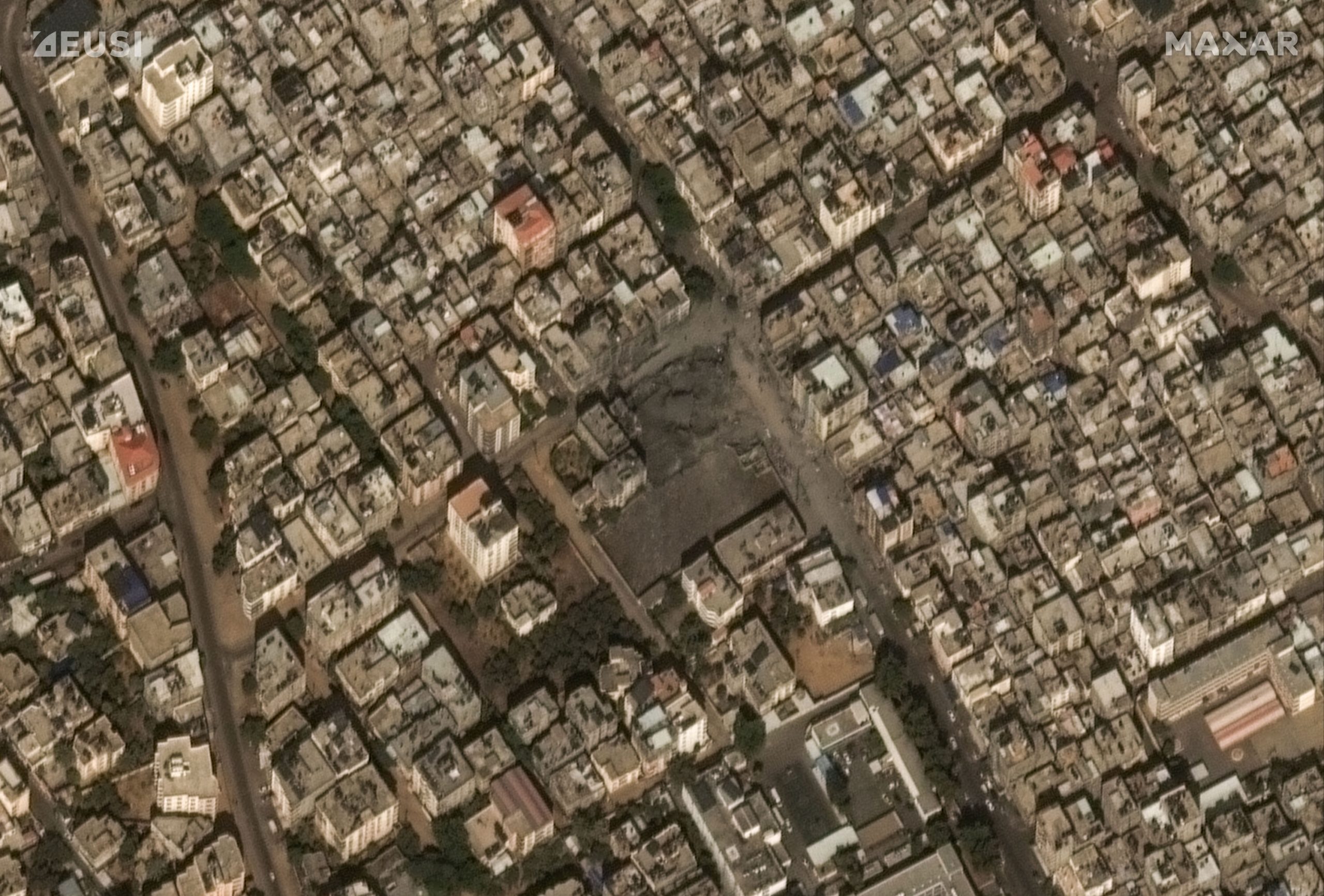
European Space Imaging (EUSI) partner, Maxar collected new satellite imagery on October 10th of Gaza that reveals some of the ongoing military response to the recent Hamas attacks. The images focus on the aftermath of recent airstrikes in and around Gaza City. Maxar is continuously monitoring the situation and will provide additional updates.
Find the gallery here: