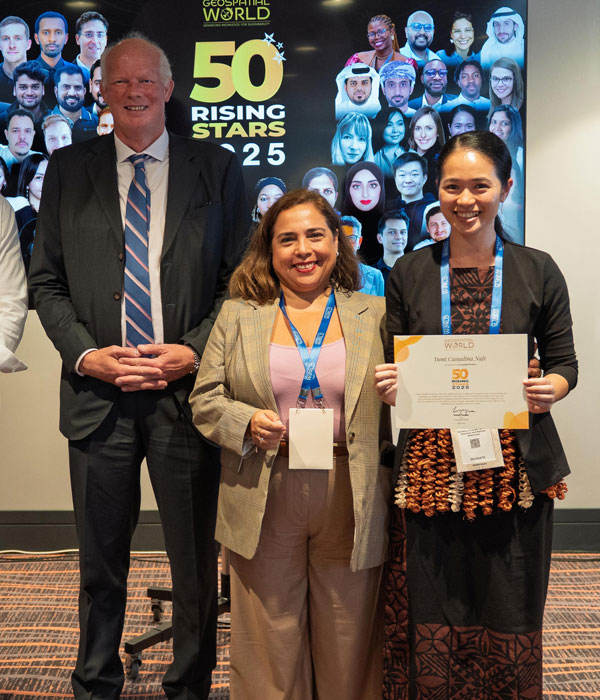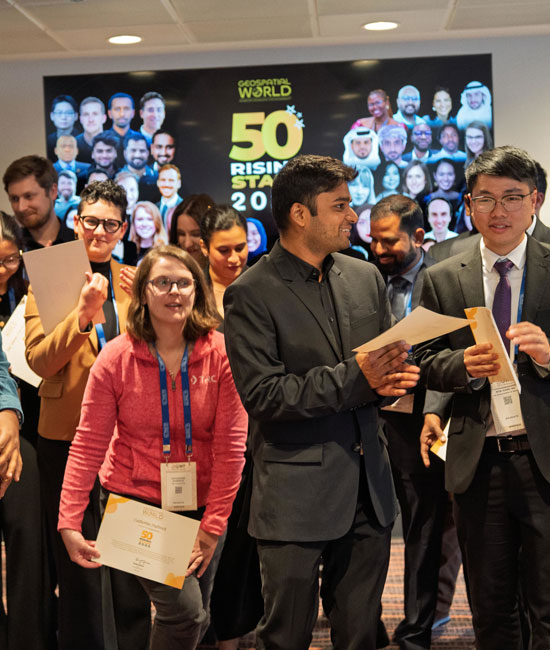
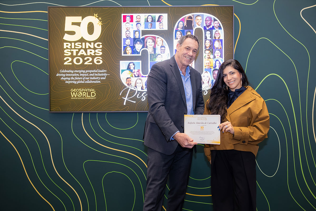
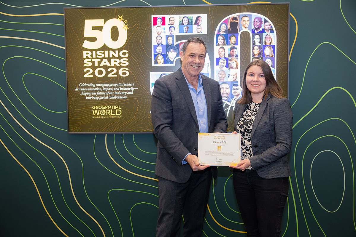
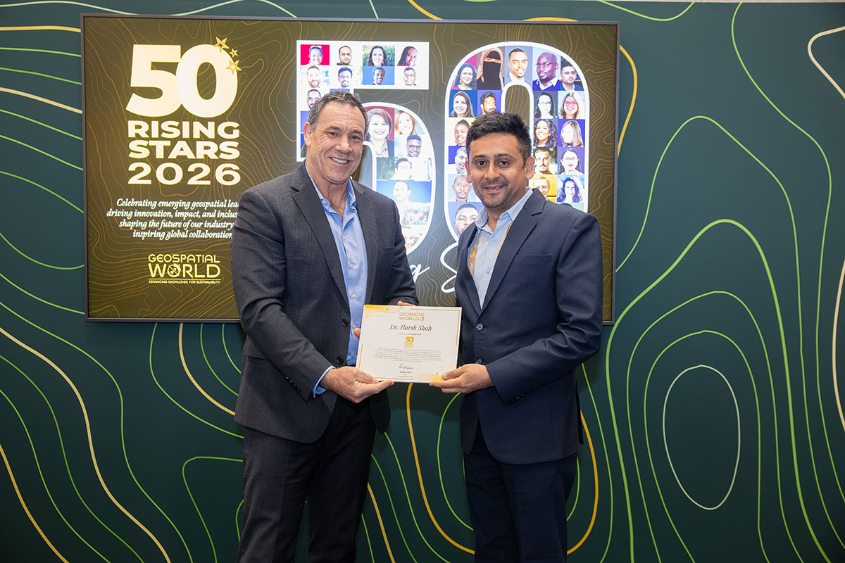

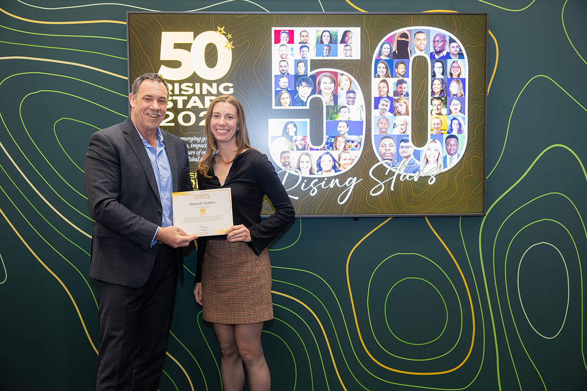


A platform to celebrate your excellence!
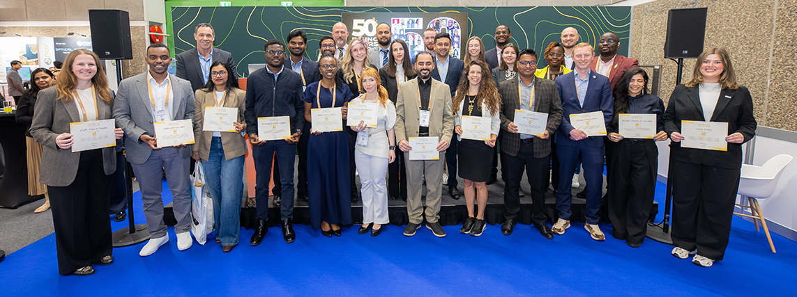
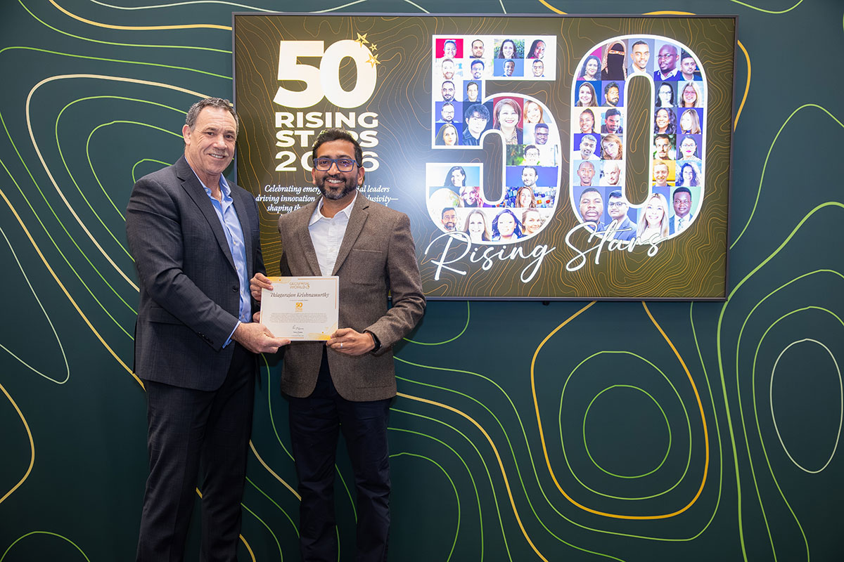
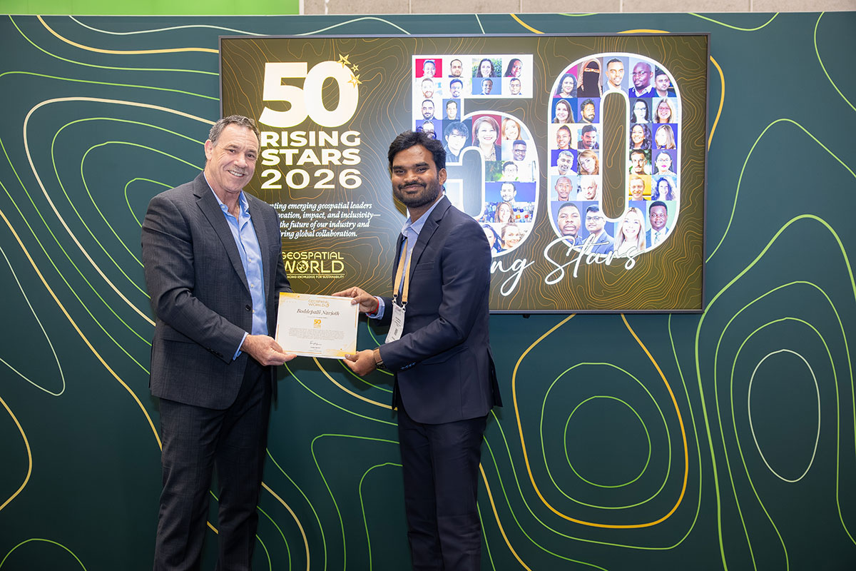
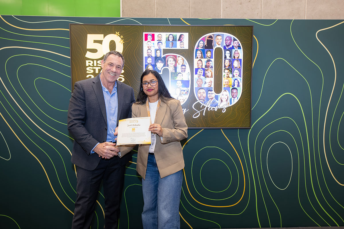
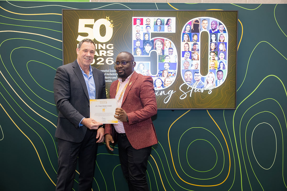
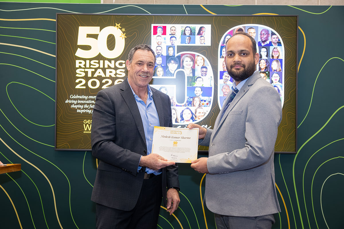
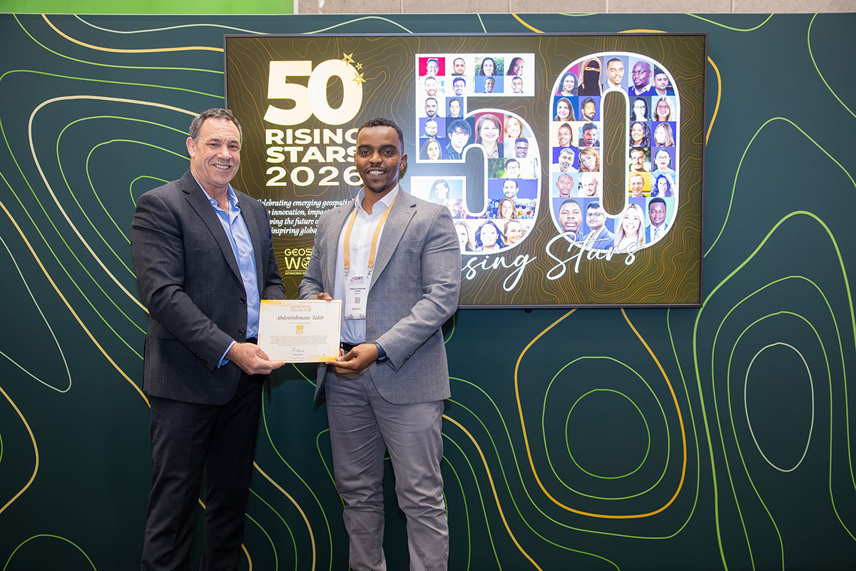
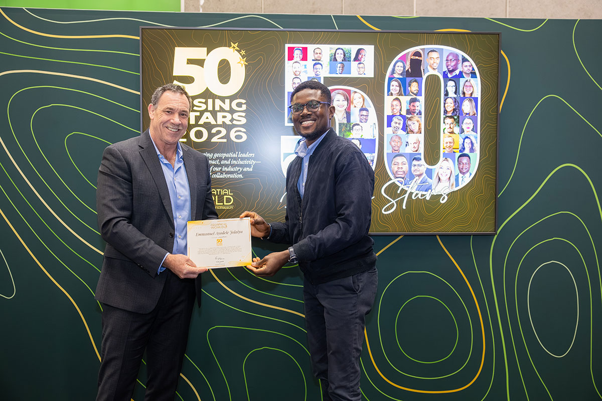
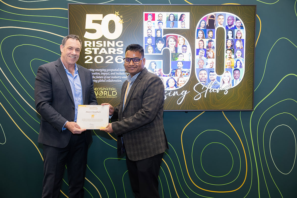
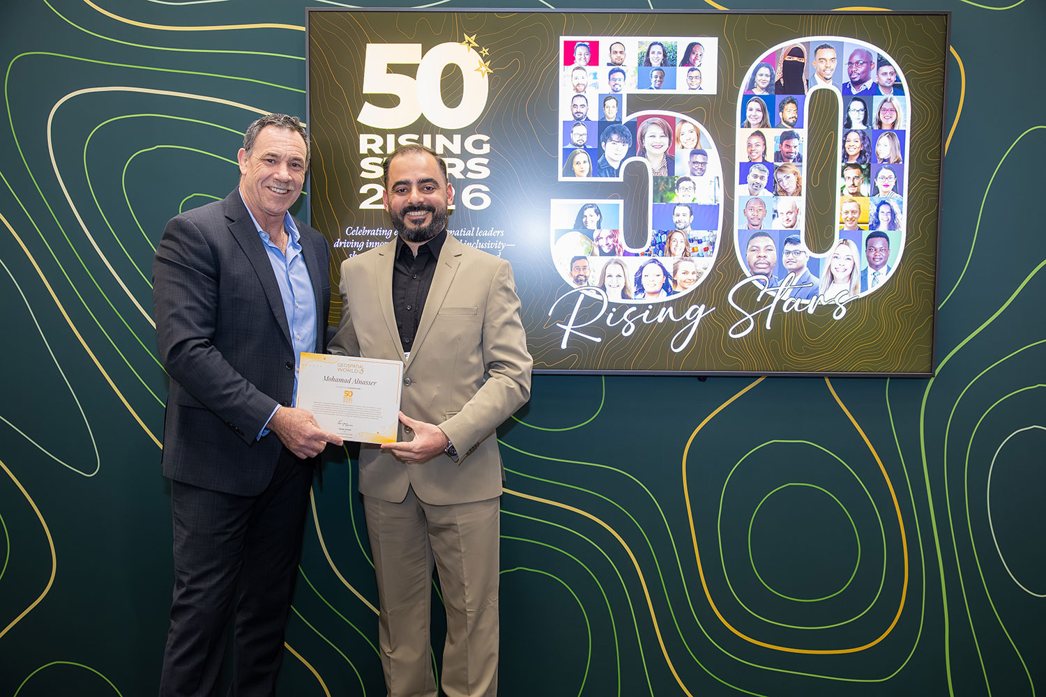
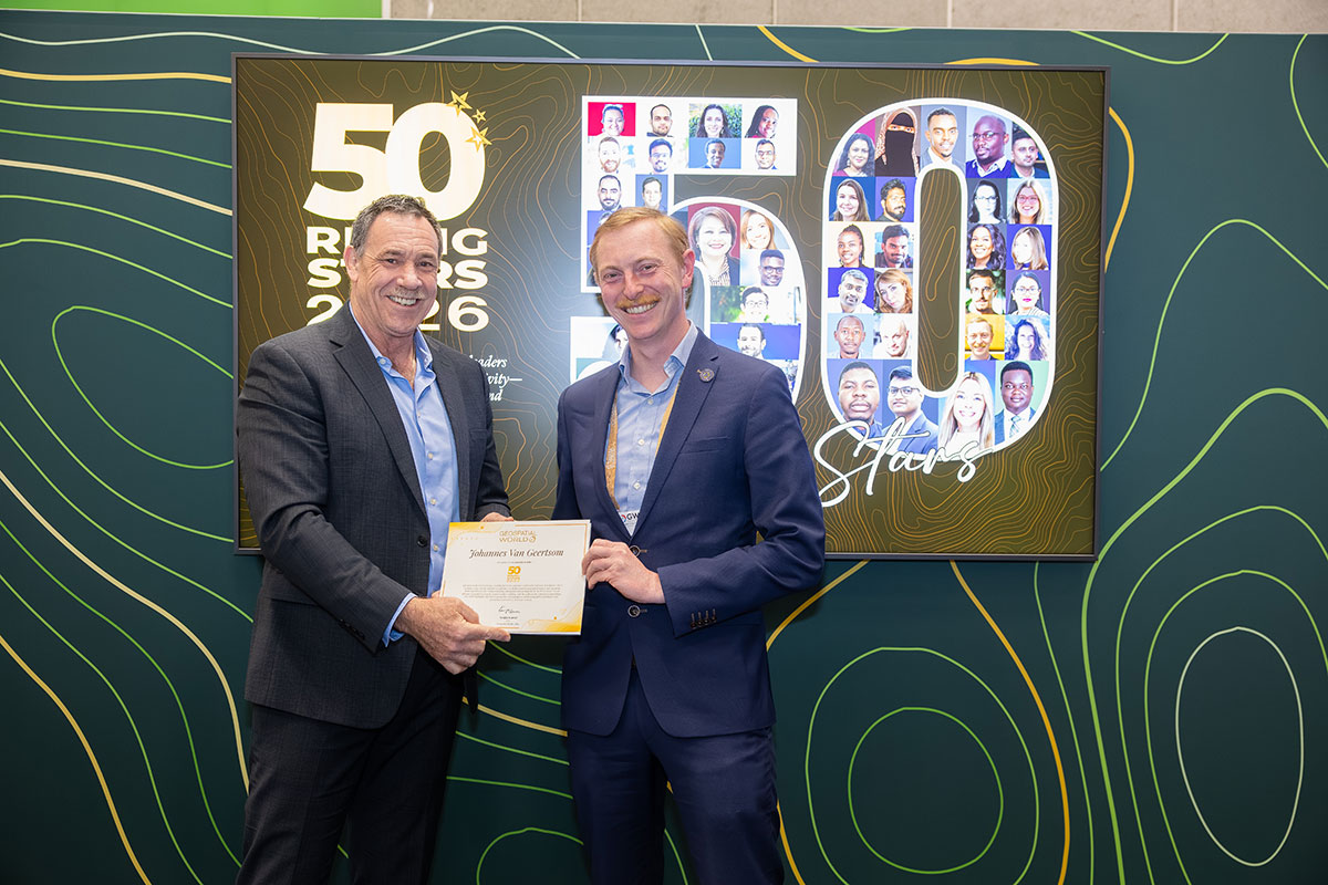
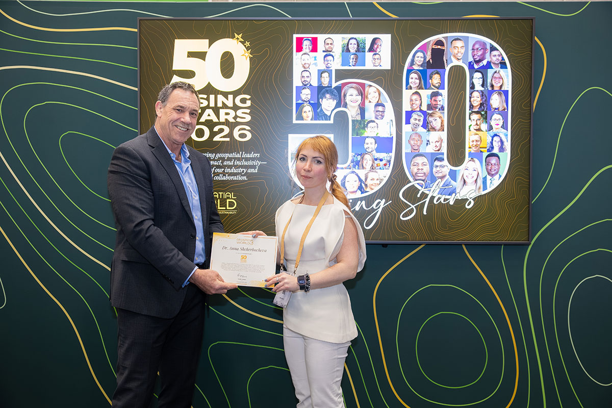
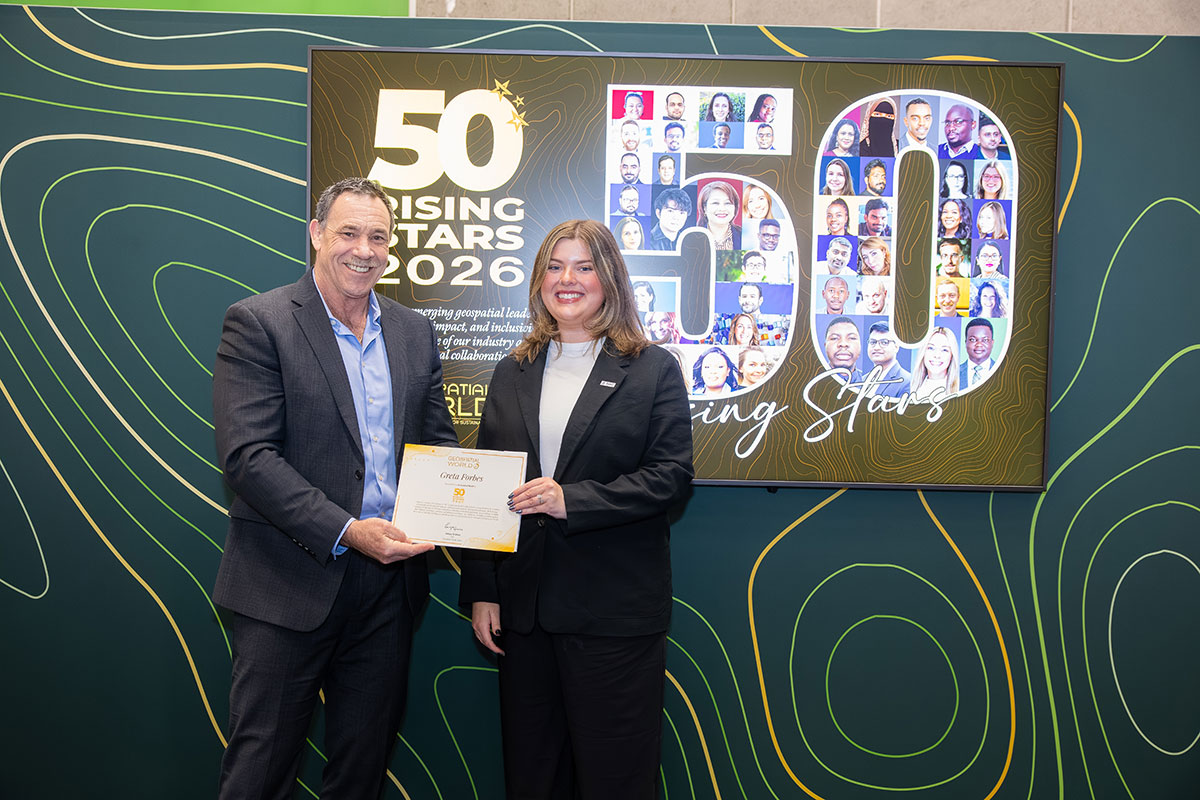
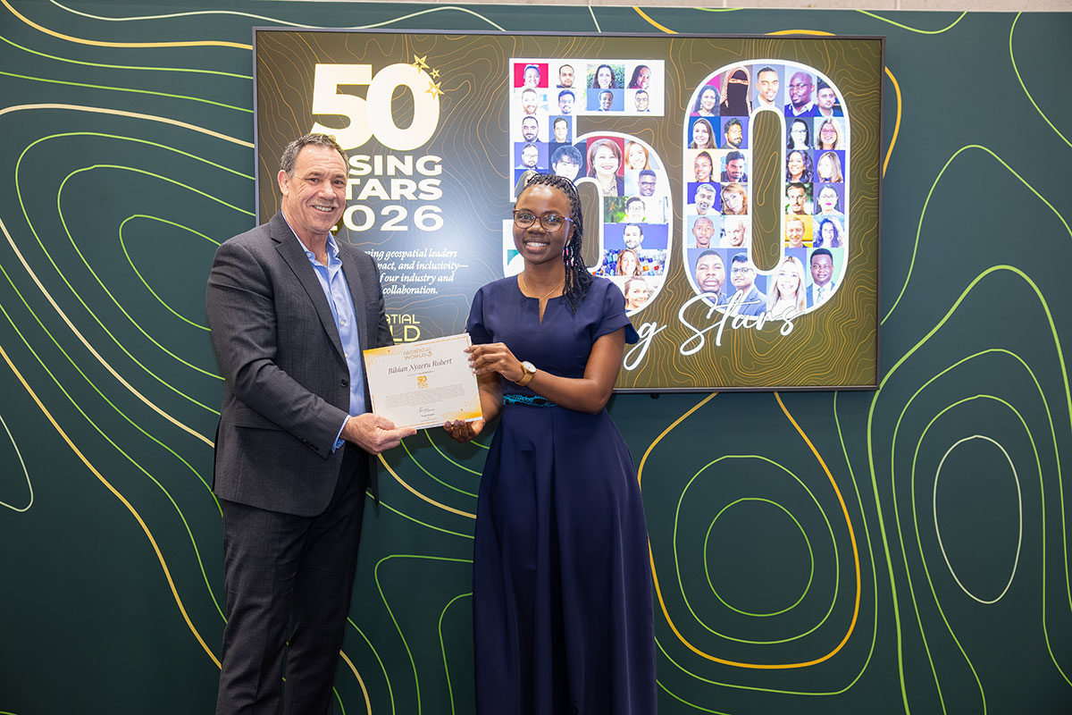
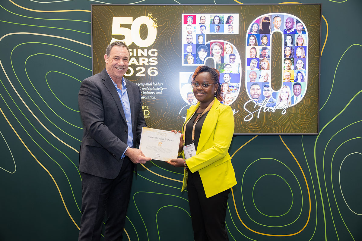
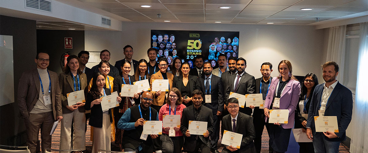
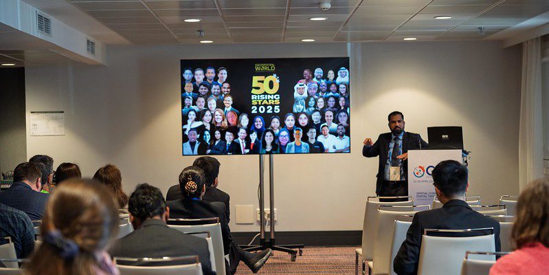
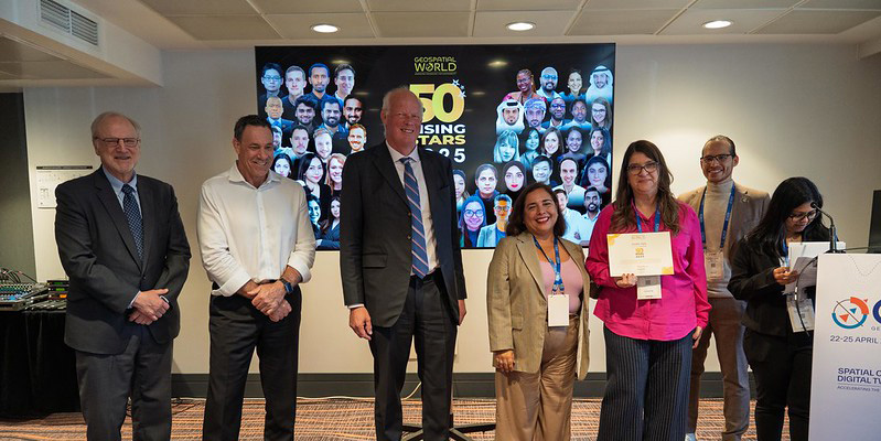
Launched in 2021, the Geospatial World Rising Stars initiative aims to showcase the remarkable achievements of individuals under the age of 40. These individuals are proactive and passionate about demonstrating the value of geospatial technology to society, the environment, and businesses. With 250 Rising Stars recognized to date, the Geospatial World’s annual list of Rising Stars is the most diverse and inclusive in the industry, a testament to our commitment to acknowledging talent from all corners of the globe and in all sectors.
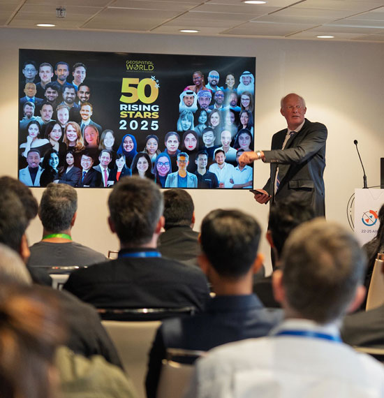
The vision behind "Rising Stars" is to create a legacy that highlights the contributions of young professionals who are making significant impacts in geospatial fields. Through this platform, Geospatial World aims to build a community of forward-thinking individuals who can collaborate, share ideas, and push the boundaries of what is possible with geospatial technology. The "Rising Stars" recognition is not just an accolade but a step towards ensuring the continued growth and evolution of the geospatial industry, with a focus on nurturing talent and innovation for the future.
We focus on the millennial and Gen Z professionals as they grasp well- the role of data, automation, and connectivity, but first, they are change-makers and digital natives. Their ability to put into play these emerging technologies such as AI, machine learning, and big data analytics will be important in reimagining how geospatial information is collected, analysed, and used in different sectors.