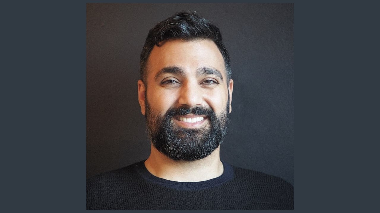
A conversation with Sam Hashemi, CEO, and Co-Founder, Felt, on the prospects of open-source map-making and addressing some of the common challenges faced by the GIS community.
“We see collaborative mapping being adopted across lots of different industries because no matter what you are doing, it will speed up your workflows,” says Sam.
Digital Mapping and precise cartographic visualizations are crucial for everything we do. From paper maps to HD maps, there has been a defining shift in the way we perceive maps. What do you think lies ahead?
The perception we hear most frequently about maps is that it’s difficult to work with them. After interviewing many GIS analysts and other professionals who work with maps, we’ve heard about countless challenges they face — for example, sharing their work in PDFs and emails and seeing review cycles with clients take too long.
We’ve also seen that the tools GIS leads build to enable the teams they work for are never adopted in a real way because they aren’t intuitive or easy to use. That’s why our mission is to make mapping effortless for everyone.
We expect professional mapping tools to shift towards something much more like Google Sheets, Figma, or Notion — powerful enough for pros, but accessible enough for the people who work alongside them.
These tools are built on the web, enabling collaboration from the ground up, and in effect, speeding up the workflow of the entire team. The work will become more transparent, integrated, and effortless. And that’s the vision we work towards every day at Felt.
Tell us about your journey from NASA to founding a collaborative mapping platform?
I have always been motivated by designing tools for critical efforts, whether it’s ensuring an astronaut functions in space safely, or helping planners to deliver efficient transportation systems for millions of transit-reliant residents.
For something like a decade, I worked on these really complex deep systems at the Department of Energy, NASA, and other big organizations, trying to create intuitive tools and joyful experiences despite a lot of red tape. At Remix, my last company, we helped cities design safer streets and plan out bike lanes and bus routes.
You could choose your city, move things around, and it would tell you how much a bus route was going to cost, and what kind of social impact it would have on transportation freedom for the city residents.
For the first time, cities were using tools with consumer-grade design, purpose-built for them, and they loved it. In five years, 400 cities, from New York to London to Auckland to San Francisco, started using Remix.
Felt is really the expansion of this energy since maps are a fundamental tool to accomplish so many important efforts – resource management, disaster response, housing, and agricultural production. We need better tools to move these efforts forward as fast as possible.
There are initiatives for open-source mapping data, and a lot of geospatial information is readily accessible for the users. In this context, what difference would collaborative mapping make?
When we talk about collaborative mapping at Felt, we are talking about the kind of things that make Miro, Canva, and Google Sheets so transformative – the ability to share easily over the web, in sync or asynchronously. To move data around with a single link and have your viewer visualize it without needing to install anything.
To set permissions such that your viewer and collaborators get the amount of information or editing privileges you want them to have. To leave comments in real-time. By focusing on features like these something approachable and useful is build for an the team.
Another big focus for us is designing for ease of use, so Felt can become a tool for people of all backgrounds — like a cycling group that used Felt as the interface for collecting OSM data because they found the interface more accessible to their volunteers, or the safe streets advocate who collected place-based feedback from volunteers to share with Transport for London.
So, collaborative mapping isn’t limited to a use case. We see it being adopted across lots of different industries because no matter what you are doing, it will speed up your workflows and make them easier.
You recently launched spatial analysis tools — that’s the feature that is offered by the majority of GIS tools. What makes Felt stand out in this market?
Every single day, teams are tackling challenges by turning spatial data into valuable insights. Imagine having the power to answer questions like What buildings took the biggest hit from that wildfire? Which areas are most vulnerable to flooding during heavy rainfall, and how can we enhance our preparedness and response strategies? What is the optimal route for a fleet of delivery vehicles to minimize travel time and fuel consumption while reaching multiple destinations in a city?
In the past, digging into these mapping puzzles meant dealing with complicated desktop software and long processing time. But with our new transformations, we wanted to change that and deliver a faster, better way to answer geospatial questions.
We are starting out with core transformations: Bounds, Buffer, Centroid, Clip, Count Points, Dissolve, Intersect, and Subtract.
What really sets us apart? Live Previews. Our users can get a sneak peek of the results before diving into the analysis and we’re allowing them to eliminate all the guesswork. And this is just the beginning — we’ve got plenty more spatial analysis tools in the pipeline.
What do you think are some of the futuristic applications of mapping, and what is your vision for a more sustainable and resilient world?
There are many futuristic applications of mapping – autonomous vehicles, precision agriculture, virtual reality, etc. At Felt, we think about the future as making maps a more accessible medium.
How do we make every aspect of working with maps powerful and intuitive, so people can get important work done accurately, quickly, and with ease? How can we build something that enables all those futuristic applications? Because if we get these things right, the power of maps will grow.


