The Earth is known as the Blue Planet ever since its first images were snapped by Moon-bound astronauts. The oceans cover three fourth of the earth but are a poorly charted territory. We perhaps know more about the heliosphere than we know about our oceans.
Our weather is largely affected by the ocean temperatures and currents. It acts as a sink for the excess carbon we produce. It has provided and continues to provide a means of exploration.
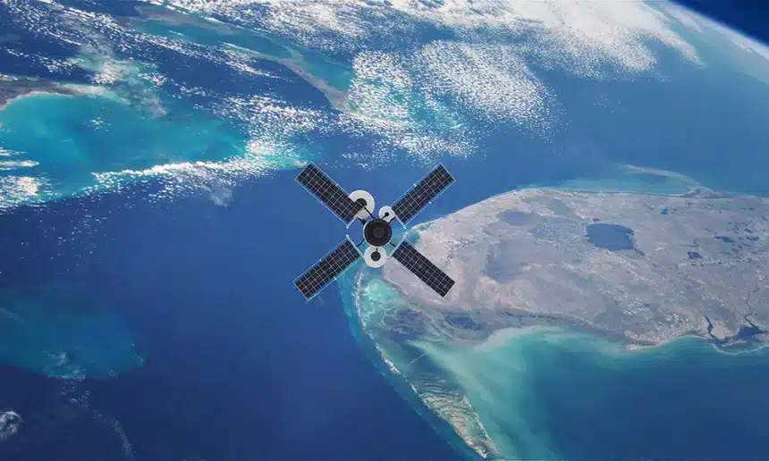
Space, and in particular, geospatial applications play a huge role in many areas. Meteorologists and oceanographers use space data for studying weather, climate and land-sea interactions. Ocean navigation uses GNSS satellites and ocean communications use satellites as well.
Space based geospatial data is also used to both enable and regulate fishing. It is also used to track rogue ships using ELINT and radar imaging.
Oceans do have another dimension. Nations who mastered the art of ship building and navigation could discover new places, establish trade and ultimately colonize these countries. This led to a situation where war moved into the seas. Large ships, ports, and other marine assets became vulnerable.
National security traditionally encompassed land, sea, and air. Today, space is being added to it. Space for strategic imaging, communications and navigation is already in place. Now it is formalized through the creation of military Space Commands in different countries.
While these Commands are designed to establish Space Intelligence Surveillance and Reconnaissance (ISR) systems, the time is not far when they will also establish an offensive role. Weaponization of space is an unpleasant reality.
There are several regions of interest to ISR. For India the principal one is the Indian Ocean region. The Indian Ocean is a major transit route for commerce. Its western reaches are affected by piracy. It is also the playground for US, UK and China for espionage and surveillance. The Chinese presence in various ports like Djibouti, Hambantota, Maldives, Gwadar pose major concern in this region.
The Indian Ocean rim countries like eastern Africa, the islands, Iran, Pakistan, India, Sri Lanka, Bangladesh, Myanmar, Malaysia and Indonesia need to evolve a combined strategy for the protection of their assets and resources.
India with its mature space presence should be able to take a lead and provide the necessary wherewithal for each nation to set up its own security systems. The need is for standardization and interoperability at both the country and international levels.
Another theatre where India has more than a passing interest is the Indo-Pacific region. Much of the commercial traffic emanates from here as they pass through the Indian Ocean to points west. The maritime threat from China also emanates from here. Chinese espionage vessels are known to station themselves in the Indian Ocean to monitor civilian and military launches.
These regions do pose concerns but also provide opportunities for the deployment of space based ISR systems. For the private industry there are ample opportunities for marketing their offerings. Small satellites, smart sensors, launch systems and AI based analytics are some of the possible areas.
The blue in the Blue Planet poses threats and therefore opportunities—Carpe diem.
Disclaimer: Views Expressed are Author's Own. Geospatial World May or May Not Endorse it