Founded in 2018, Suhora is an Earth Observation (EO) analytics company that solves customer problems using geospatial analytics. Its work encompasses multi-sensor data fusion, image analysis, and automated information extraction for applications across environment, disaster management, infrastructure, and defense & intelligence.
The Noida-based company serves multiple industries and verticals, from renewable energies to forestry, and from agriculture to defense.
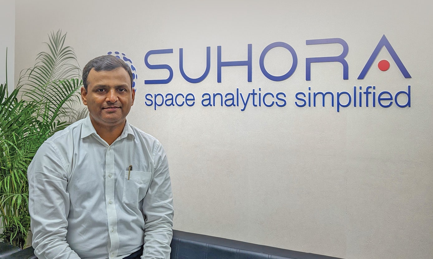
“We have a lot of users from different verticals. We also provide a lot of satellite data downstream processing, analytics and offer solutions to relevant customers. Our ultimate goal is to revolutionize how spatial data is utilized, enabling informed decision-making and positive impacts on a global scale”, says Amit Kumar, Co-Founder & COO, Suhora, in an interview with Geospatial Artha.
The global Earth Observation market is expanding multifold. However, India is yet to catch up in many ways in terms of user adoption. How you do see the EO market evolving in India?
EO data is not readily accessible to someone who is not quite well versed with industry mechanisms. However, with the government initiatives such as the new remote sensing data policy things are changing.
A lot of liberalization is happening these days which will enable growth in the coming years. For example, pipeline infrastructure and highways have been expanding at an unmatched speed.
Increasingly, a lot of people are realizing the immense potential of satellite data. So far, the defense sector, as always, is the biggest user as well as the promoter of the EO data. Our Earth Data platform provides advanced monitoring and analytics solutions for defense.
Please tell us more about the platform.
We have a platform called Spade which utilizes multi-mission data, whether open source or commercial data. Moreover, we can also process optical, SAR, and thermal data. The USP of the platform is that it utilizes these multiple technologies and takes care of multi-domain analytics, which is a critical defense requirement.
Spade combines various datasets in a single window, creating reports, insights, and data workflows that customers can directly utilize. It has shown promising results from the users and has potential for future growth as well.
Key focus areas of SPADE are Multi-Sensor Mission Planning, IMINT & OSINT Integration, Defence and Intelligence Applications, Disaster Management, Solar and Renewable Energy, Infrastructure Monitoring, and Geospatial Analytics. SPADE will continuously evolve and increase its potential to stay relevant and serve different domains.
Climate change has become a burning issue today, and a lot needs to be done to curb carbon emissions. Suhora has been providing consultancy services to the solar industry as well. Where does India stand on green transition?
India has emerged as a global leader in renewable energy, particularly in solar power. Take the example of Bhadhla Solar Park in Rajasthan and Pavagada Solar Park in Karnataka. These are massive solar projects completed in the last ten years.
The Indian government has taken proactive measures to promote green energy adoption and has set ambitious renewable energy targets. The National Solar Mission is a major initiative of the Government of India and the State. The future for renewable energy in India is bright in India. We provide consultancy to developers who are implementing these solar farms.
With our services, they are able to optimize operational costs and implementation costs, leading to better RO. As Suhora provides in-depth consulting services to the Solar Industry in India and abroad, the focus remains on supporting and accelerating the adoption of solar energy by addressing multiple challenges.
By leveraging advanced geospatial analytics and data-driven insights, Suhora aims to assist the solar industry in optimizing solar projects, enhancing energy efficiency, and contributing to India’s sustainable energy future.
Together, through collaborative efforts, we can continue making strides in the fight against climate change and building a greener and more sustainable planet. With more and more solar plants being set up, the market is really growing. If this trend continues, we can achieve a production parity with coal power plants in the near future.

Which new technologies Suhora is working on, and what is the roadmap ahead for you?
Right now we are heavily focused on SAR (Synthetic Aperture Radar), which is not something new, but very important in terms of the predictability of outcomes. With this, we can have a regular cycle of data and image acquisition. SAR analytics has much-untapped potential, and we are working to realize it.
We have a long and ambitious journey toward revolutionizing the way Defense and Intelligence (D&I) agencies operate in the geospatial domain. Defense and Intelligence sector is something that we are primarily focusing on now. We are also emphasizing the speed and efficiency of multi-mission, multi-sensor satellite-based monitoring and analytics platforms.
We want to automate the defense and intel offerings through IMINT and ISR. These are the two areas that we really want to focus a lot in due course of time while riding on capabilities of SAR and thermal data on top of it.
Our vision is to empower Defense and intelligence agencies with state-of-the-art tools that facilitate proactive decision-making, real-time situational awareness, and enhanced security. As we move forward, Suhora remains committed to fostering a safer and more secure world through the power of geospatial intelligence.
We also want to support the government in disaster management, as environmental disasters and hazards are becoming very frequent nowadays. Our capabilities, the SAR, and thermal data can cater a lot to this kind of application. Disaster management is our second focus area after defense.
Another important aspect we are focusing on is infrastructure monitoring, especially in the disaster-prone areas where we recently saw a lot of ground deformation due to excessive and unplanned construction. These are the major focus areas for the next few years.