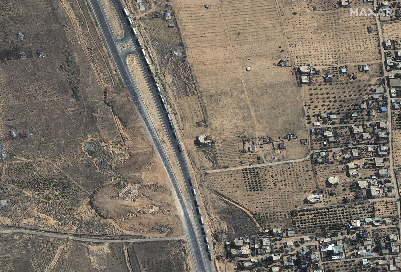
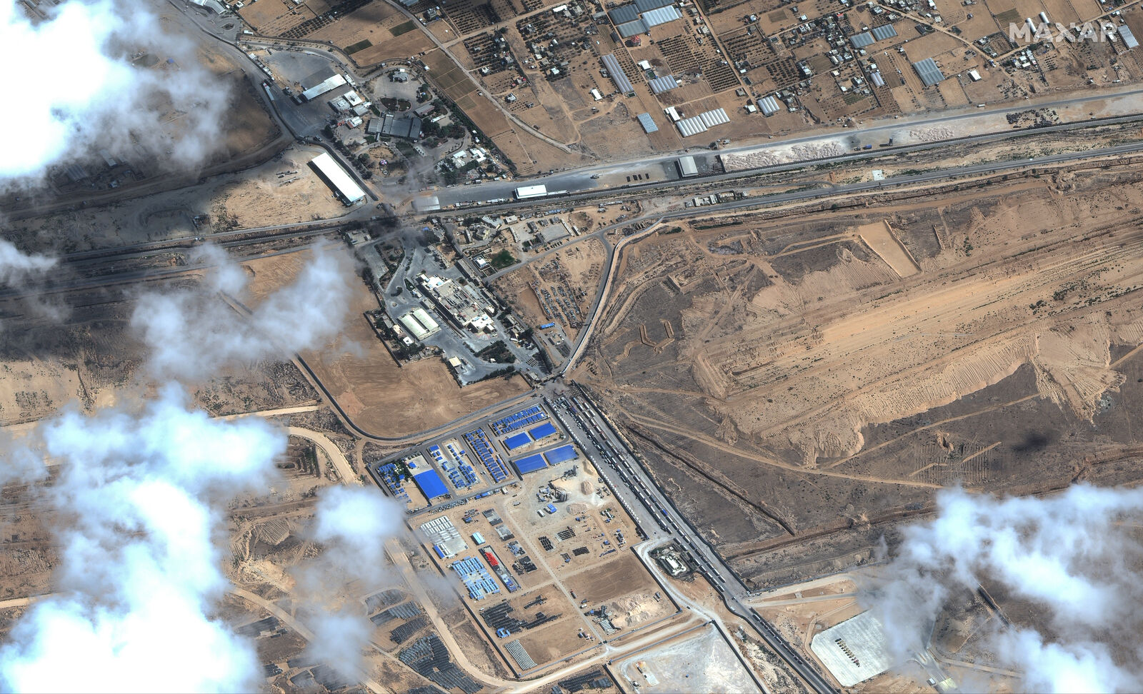
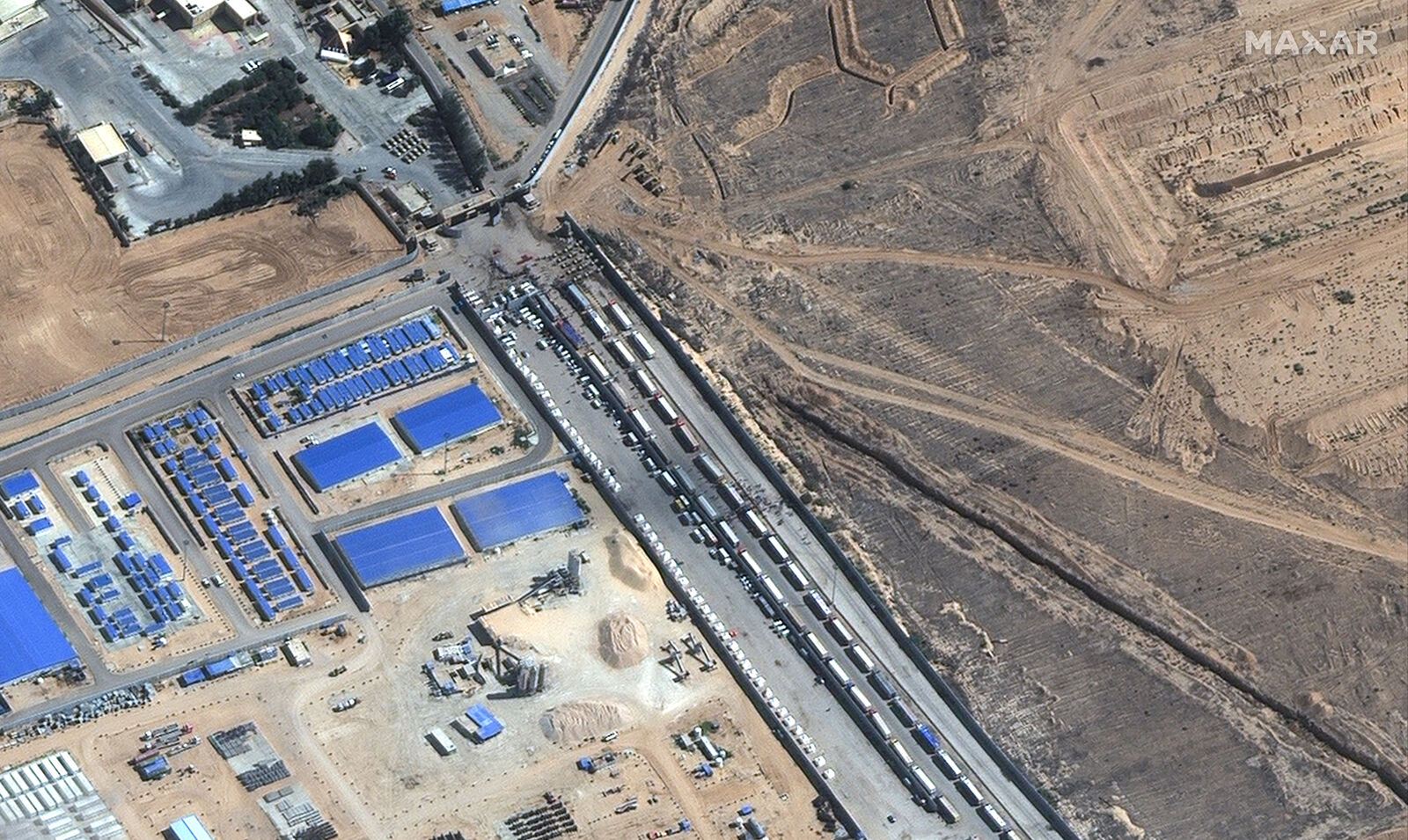
Maxar Technologies collected satellite imagery of the Rafah border crossing between Gaza and Egypt. The imagery shows 90 cargo trucks – reportedly carrying humanitarian aid – waiting to enter Gaza.
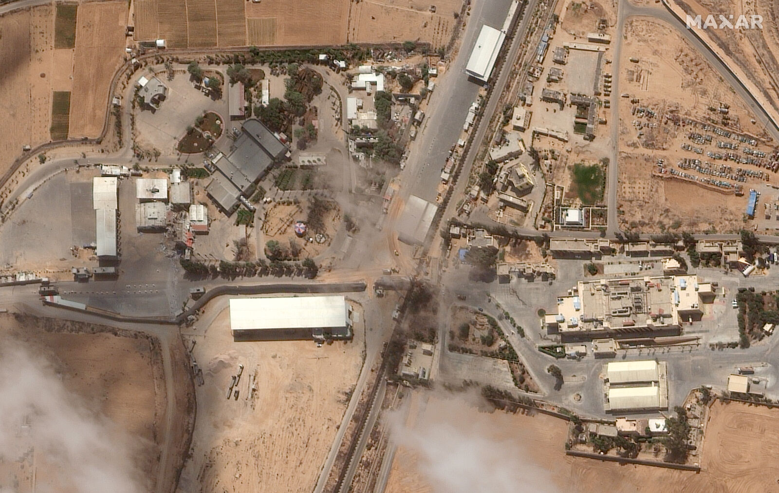
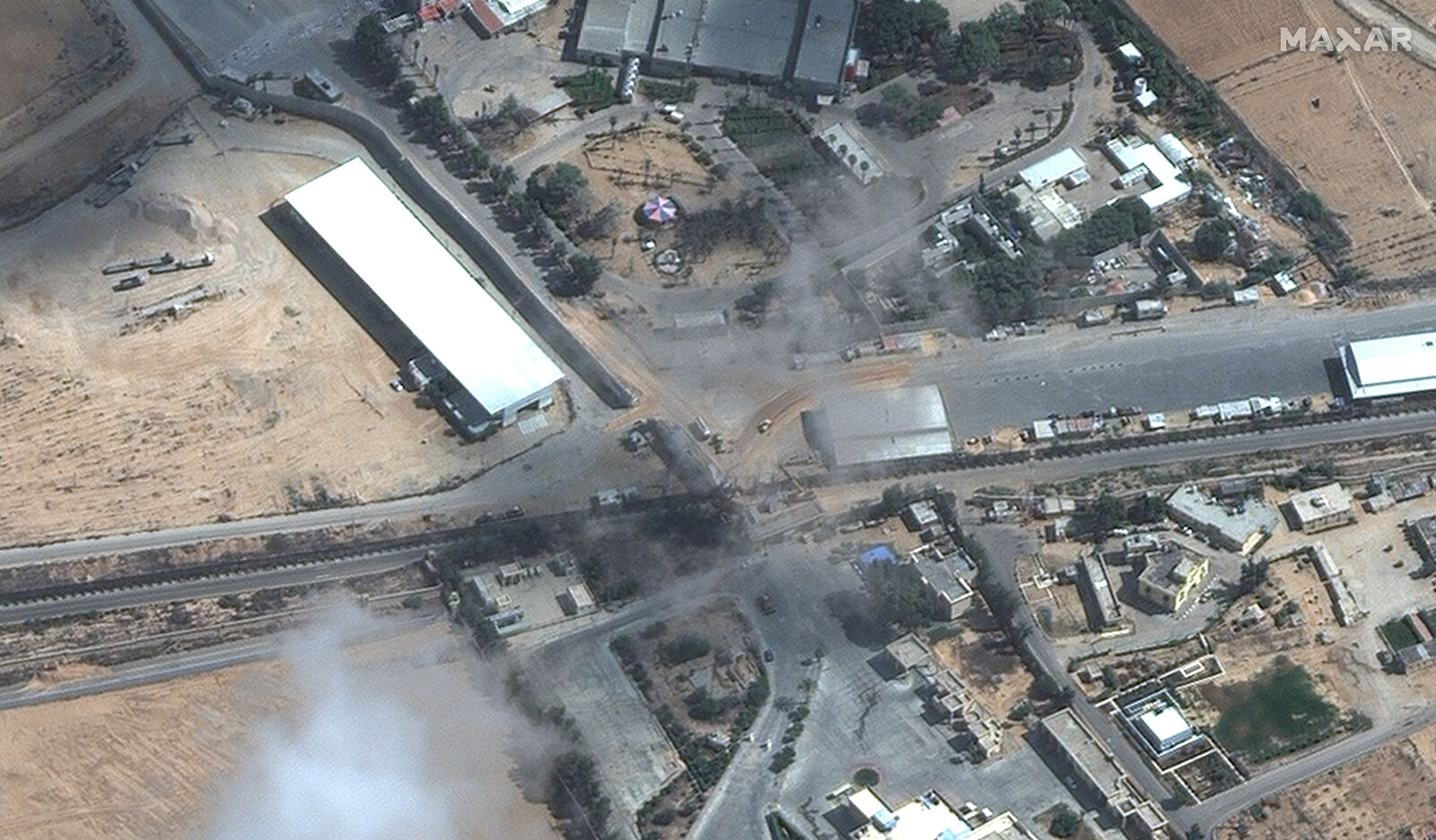
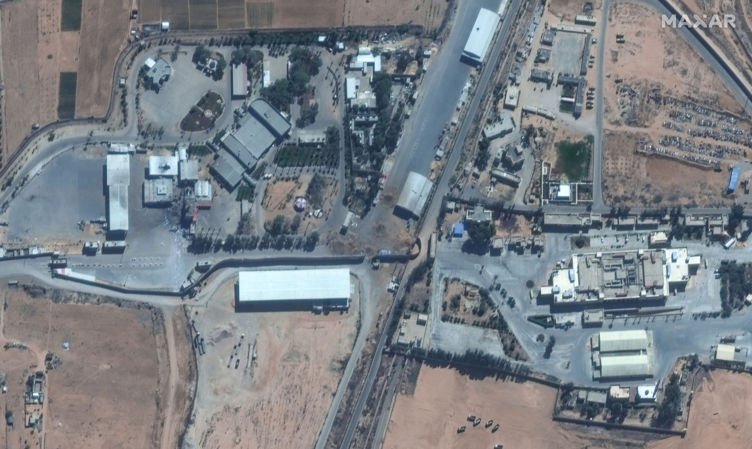
The imagery also reveals repaired roads where craters had occurred previously due to bombings. The trucks can be seen waiting on the Egyptian side of the border while another set of trucks were witnessed near Sheikh Zuweid, Egypt—approximately 12 kilometers to the southwest.
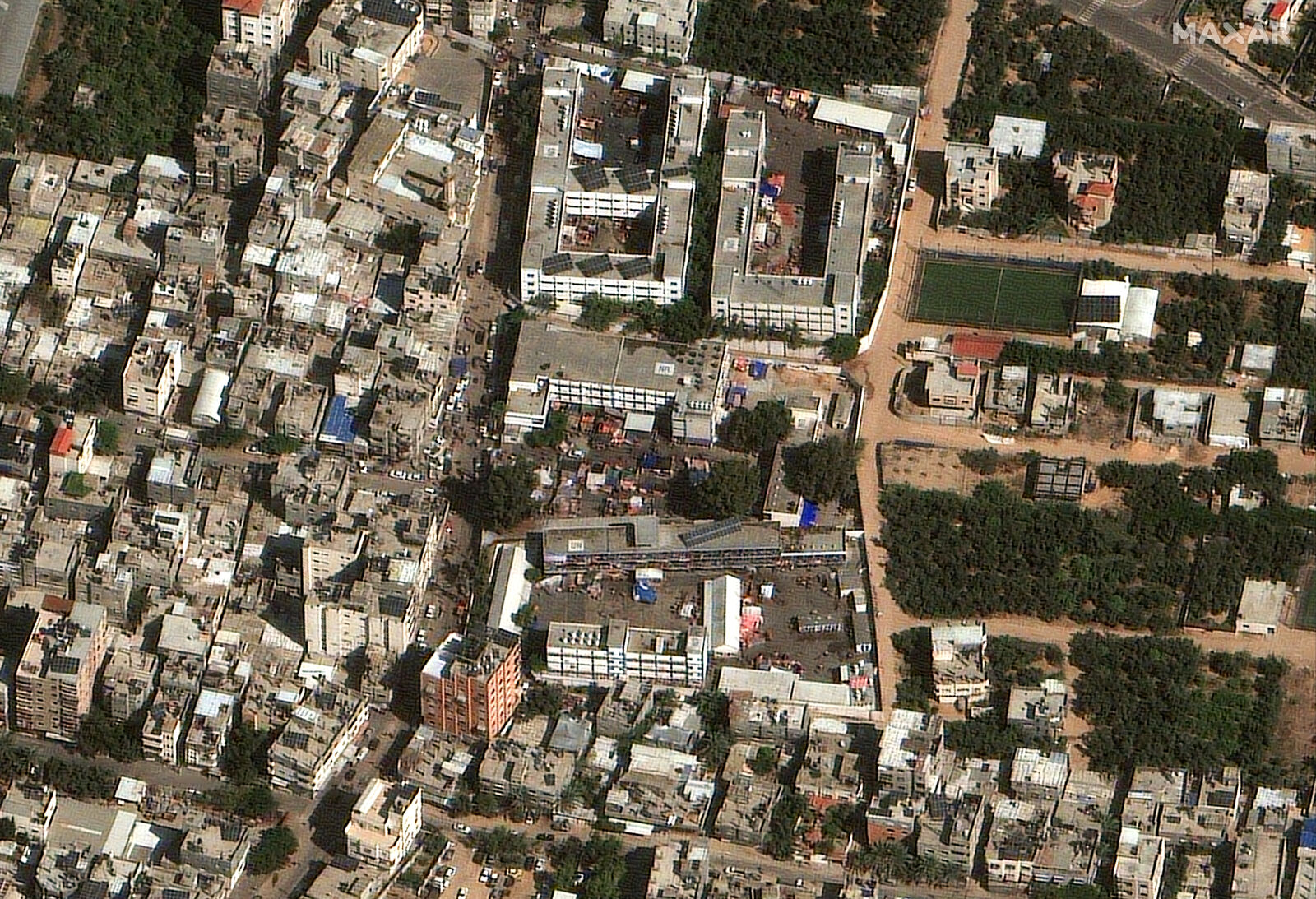
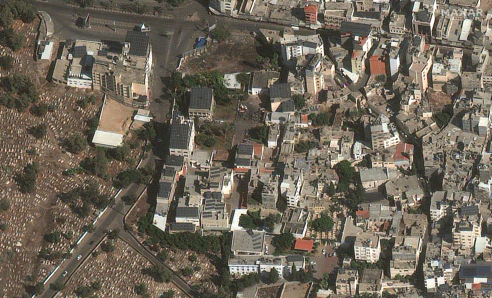
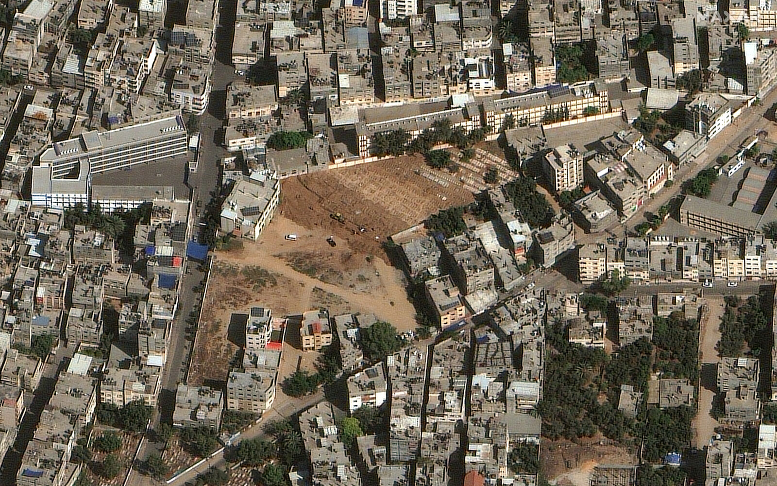
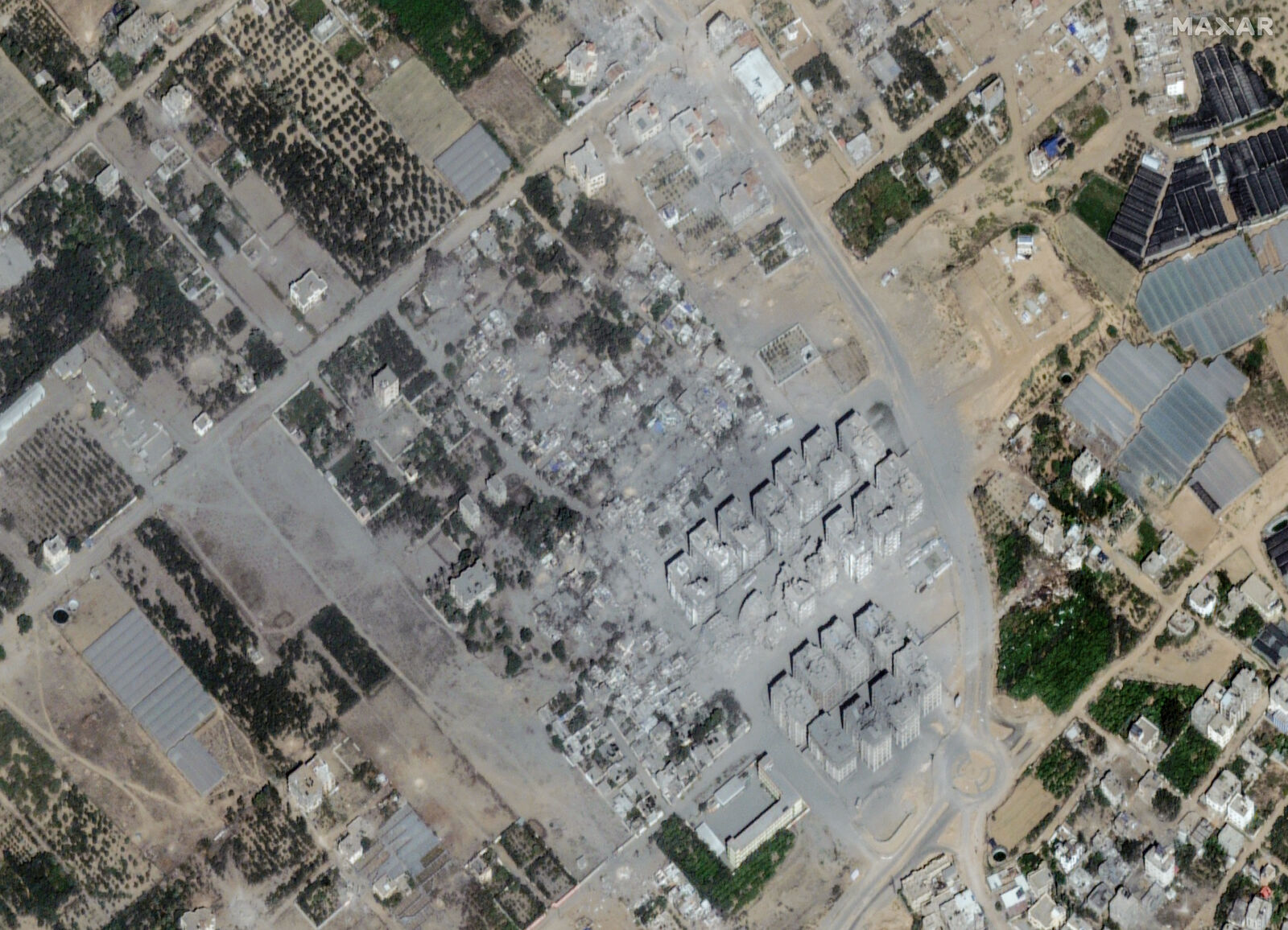
Another set of imagery taken on 19th October by Maxar shows the condition of Al Ahli Hospital which was bombed last week. There were around 500 casualties due to which the local cemetery had to be expanded to make space for the deceased. People in Gaza subsequently took shelter in schools which is also visible in the satellite images.