
There are certain moments in history when society only starts to change when businesses adjust their practices. One of these moments is happening right now. Many industries are accepting a harsh new reality: climate change is changing the way they must operate.
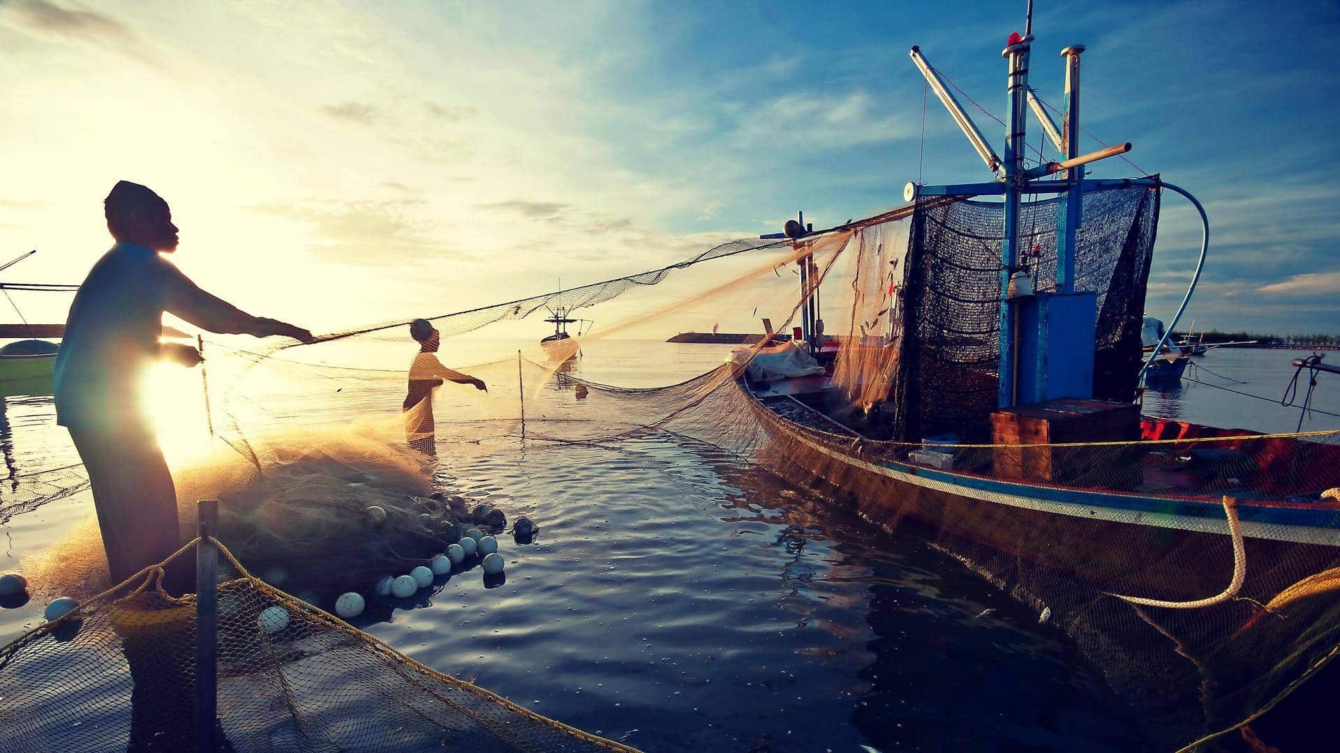
Industries can either adapt to these changes, or fail. Fisheries are no exception and using GIS may be the only way to save them.
Fisheries have been noticing aquatic species in places they would never have been expected. This means the places where fishermen are fishing and the areas being protected may not be ideal.
As a student, this is my experience learning how to navigate the world of scientists, business leaders, and government officials to help answer one important question.
Where did all the cod go?
Everything began when Roger Mann, a professor at the Virginia Institute for Marine Science (VIMS), approached the William & Mary Center for Geospatial Analysis (CGA), for geospatial assistance answering this question.
In order to accomplish his goal he wanted to use something he knew very little about, GIS. At the time, I was working in the CGA as an undergraduate researcher on a community-based collaboration around West Nile Virus and local mosquito monitoring.
Dr. Mann received a grant from National Science Foundation (NSF) known as an REU or “Research Experiences for Undergraduates” award to provide funding to a student to mentor in research methods with a focus on fisheries and climate change.
The project began with a simple objective: to determine if cod have stopped spawning in a protected spawning ground off the coast of Nantucket called the Great South Channel Habitat Management Area (GSC HMA).
With the rapid increase of ocean temperature over time, cod have likely started spawning further north, where the water is cooler. Meaning it’s likely that the protected area isn’t protecting cod anymore.
My initial NSF REU reward was simply to examine this one protected area and determine if the cod had moved and if the protected area should be moved as well.
The primary issue was, there was no data about the number of cod in this protected area. Species surveying is prohibited in the management area, since it is a form of fishing. I began by examining surveys in the surrounding geographic area for change over its lifetime, using NOAA’s DisMAP data.
This tabular data of around 25,000 points of species distributions was converted to a spatial distribution map of cod observations on the eastern coasts of the US and Canada over a period of 45 years.
Time based data is both a blessing and a curse. As you can imagine, 45 years worth of species distribution survey data can be overwhelming for any map reader. These surveys were collected twice a year (fall and spring) over that time.
To provide a better visualization of the distribution shifts, the data was broken down further into year-by-year data and I even tried grouping the data by 3 year and 5 year time frames.
Finally, I decided to use only the spring survey, a survey taken about a month after spawning season as a proxy for cod spawning grounds. Then this was placed into a time slider to show the loss of cod in the surrounding areas over time.
This geovisualization confirmed what we suspected, there has been northern movement of the cod distributions. With GIS, this suspected activity was now confirmed for the scientific community and the fisheries industry.
By connecting this project to global climate trends, I expanded the project exponentially. I had completed all this work, but these findings hinted at a very significant climate issue. I wanted to investigate the phenomena causing cod to move in the first place.
I took my data and looked at trends along the entire geography and determined that cod were moving north at a rapid rate. I suspected ocean temperature must be rising at an unprecedented rate to cause such an occurrence.
I then expanded the scope of the project to determine where the cod are going and what places should be protected, as the cod have moved so much since the habitat protection areas had been put in place.
In my new vision for the project, I would create a habitat suitability index using factors known to affect cod spawning. This way I could determine where cod are moving to and where to move protected areas, to protect the species more effectively.
However, I was bringing the geospatial expertise to the project and didn’t have a full marine science background.
I began researching the most important factors for cod spawning with the mentorship of Professor Mann.
Together we read through literature and determined the ideal habitat consisted of a complex bottom, shallow water, and moderate temperatures. I found ideal datasets for each factor and brought them to Professor Mann and others in his lab.
We determined that substrate type (ocean floor composition), bathymetry (ocean depth), and temporally dynamic factors such as temperature were the most important variables. The spring cod surveys were then used as overlay points to both create time sliders and to analyze and identify which habitats were demonstrating the best suitability.
With this new goal and data, we wanted to be able to pinpoint the exact locations of cod spawning grounds and accurately predict future movement.
People get very excited about showing the effect of ocean warming/climate change on aquatic life behavior, but an accurate model must take into account all factors. Since spawning is so complex, I didn’t want to have tunnel visioned by the effect of climate change.
I needed to take into consideration the effects of the many important factors. These additional factors added insights to the complexity of cod spawning locations and demonstrated cod to spawn in geographic locations outside of their usual temperature range.
The accuracy of my suitability index comes from the inclusion of these factors combined with temperature, which is not how other research I was familiar with had approached this problem.
I knew the importance of my findings and I needed to be brave enough to speak out. I thought the hard part was over: we had done all the research and completed the geospatial analysis.
But the next step was to convince fishermen and their businesses to realize the effects of climate change on their industry. I didn’t expect anyone to care about my findings.
At this point all of the work I had done was behind a computer, but talking to people and businesses affected by this issue proved to be just as important as the research aspect.
This was the first time I had ever been viewed as an expert on something. No part of my education had prepared me to publicly criticize decades old government policies and business practices.
I realized that if I wasn’t going to advocate on behalf of my research, no one was going to do it for me. For every successful scientific discovery, there are likely many more that go unnoticed because they don’t have the resources or fear the backlash of identifying an issue with society.
I was determined to make sure my project had no chance of going unnoticed. I would rather have my work be disputed or debunked than to have not pointed out a potential problem in the first place.
Conferences give businesses in the industry a chance to learn from the world of science and scholarship.
It is in the best interest of businesses to know more about climate change and ocean warming.
But they need guidance from these scientists in order to make beneficial changes. In order to raise awareness, I presented in front of NSF’s SCEMFIS at their two annual conferences.
This is a group of scientists and industry members who focus on fisheries management and fund related research projects. I knew that if I could make the fishing industry aware of the problems, I could use their influence and knowledge to recommend policy changes and help reshape industry narratives around cod spawning and ocean warming.
As a sophomore in college, at the time, I would have the opportunity to present my work along with Marine Biology and Engineering Professors from around the country in front of businesses and government officials in the fishing industry.
Preparing for these events was stressful, but after about 4 months of work, I had my first presentation. Walking into a conference and seeing my name as the only undergraduate student with a presentation was nerve wracking.
As soon as I started, all the stress went away. I had grown to care so much about this issue and wanted to help the world understand the urgency of what I was addressing. During this Fall 2022 presentation, I discussed the issue of ocean warming with them and showed how it is causing mismanagement of cod stocks.
I explained that the drastic changes in ocean temperature have likely caused all species to change their habits and move to places with more suitable temperatures.
This means that right now we are probably protecting a lot of places where the targeted species don’t actually spawn and neglecting the places they do.
I succeeded in calling attention to a problem.
The next step was to create something to solve it. NSF’s SCEMFIS board (composed of industry members) was compelled by this research. They recognized it would help preserve fishing stocks while also allowing them to fish for other species in currently closed, inaccurate protection zones. So, I began to work on a functional suitability index model.
In Spring of 2023, I presented for NSF’s SCEMFIS board again. This time, showing a finished product with a suitability index model that visualized the drastic changes in cod spawning suitability since 1959. Ultimately demonstrating that cod are likely to have moved completely away from the areas we protect, since the initial placements were done before the current rises in ocean temperature.
I wanted to continue building on this work, so I applied for a new grant
My long-term goal is to continue to expand the project to help with the protection of more species and continue to identify and predict problems that will arise as the oceans continue to rapidly warm.
After presenting for a third time to this board, I proposed that with funding beyond the REU I could expand the predictive ability of my model to determine future conflicts between ideal cod spawning protection zones and fishing hot spots for other species, allowing the industry and policy makers to prepare for these issues years in advance. My grant project proposal of $32,000.00 was funded at the end of my sophomore year.
Everyone has a role to play, and the only way we can begin making progress is if we start on the same team.
In order to solve any problem, you need to be able to navigate countless organizations, agencies, policies, and individual stakeholders. When examining problems impacted by climate change, we need to seek collaborations with industries, government officials and scholars of many backgrounds and expertise areas.
GIS experts are one of these groups. I’ve learned that using GIS to solve climate change issues can bring people together. It can take a controversial topic and make it informative and understandable for all of the affected parties. Fixing issues related to climate change can be frustrating.
In our world, cooperation on this topic does not come easily, nor does change. There are so many people from the government, industry, and academia on the same page about climate issues. GIS might just be the thing needed to bring them all together.
Disclaimer: Views Expressed are Author's Own. Geospatial World May or May Not Endorse it


