
Introduction
Founded in 1915, the Alabama Department of Conservation and Natural Resources (DCNR) takes care of the state’s natural resources and conservation efforts. Its branches include state land, parks, wildlife, and aquatic resources. The department also issues hunting and fishing licenses for people residing in the state.
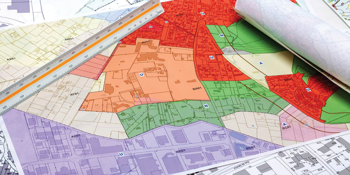
Spanning more than a thousand square kilometres, Alabama has great land resources. However, the challenge presents itself as taking care of such a huge landmass requires complex mechanisms that are often inaccurate or incomplete.
Ashley Peters, a GIS specialist in the State Lands Division of the DCNR, and her team primarily deal with managing wildland trust properties and other trust lands. This requires a large amount of land parcel data which must be accurate enough to be trustworthy.
Corroborating this data with the official cadaster data is another major task that takes weeks when done manually. The state-wide data is crucial for projects such as managing species databases and drawing deeds to make land purchases. Inaccuracy in data can result in huge monetary losses and even civil liabilities.
Solution
After being introduced to LightBox at a GIS conference, the DCNR assessed the cost of bringing the company and its GIS platform on board. Once deemed viable, the state decided to adopt LightBox’s data GIS platform, LandVision, and their statewide parcel dataset.
The department realized the increase in efficiency as the need to go county to county to collect GIS data was diminished through LightBox. The manual method was even more challenging given some counties lacked the basic geospatial and land data, especially in the more rural Black Belt in Alabama.

LightBox made accessing parcel data easier as well as resolving issues in less time as compared to without the platform. The other branches of the department soon followed suit by adopting LightBox data into their daily workflows. Due to this, DCNR became one of the few Alabama agencies in the USA with access to state-wide parcel data.
Conclusion
Complete access to land parcel data is crucial for any department that is working to develop and maintain land records in the state or county. A platform such as LightBox can greatly handle this concern and make it more efficient with less effort.


