
In an era where climate change is a significant problem to nations worldwide, Israel has taken a big step forward by launching its first national online map for climate risks.
This first-of-a-kind technology, developed by Israel’s Ministry of Environmental Protection uses digital tools for climate change preparedness and public awareness.
Game-Changing Tool for Decision Makers and the Public
Israel’s Ministry of Environmental Protection has introduced a cutting-edge online map, designed to identify climate risks such as extreme storms, floods, wildfires, and heatwaves. Funded with 2.54 million U.S. dollars, this multi-layered map will prove pivotal for decision-makers and the general public.
A ministry statement underlines the map’s significance: “The new tool would also assist the general public, with users able to assess various climate risks in their regions and make effective preparations.”
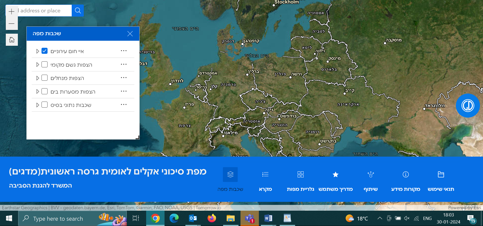
This interactive platform allows users to visualize and understand the potential impact of various climate threats, tailored to their specific locations.
The development of this map was driven by the alarming increase in the frequency and severity of extreme weather events globally. It incorporates a range of data, including meteorological forecasts, topographic structures, bathymetric structures and models of climatic and hydraulic phenomena.
The map also indicates risks associated with urban heat islands.
Its detailed depiction of flooding threats, for instance, is based on comprehensive analysis, highlighting risks in diverse areas like urban regions, coastal zones, and drainage basins.
The map goes beyond physical threats, as it addresses socio-economic factors and identifies vulnerable populations, such as the elderly and those in regions with limited preparedness options. This approach underscores Israel’s commitment to inclusive and equitable climate resilience.
Addressing Current and Future Climate Challenges
The primary objective of these maps is to enhance understanding and preparation for climate change impacts. They provide crucial information on physical threats and are particularly valuable for decision-makers to gauge these risks’ likelihood and potential impact.
The ministry’s chief scientist, Prof. Noga Kronfeld-Schor, talks about the role of these maps in informed decision-making. He says, “Accessible and reliable information on exposure, sensitivity, and adaptive capacity to local climate change is crucial for optimizing decision-making and implementing data-driven approaches.”
Environmental Protection Minister Idit Silman also highlighted the innovation behind this project, marking it as a significant “breakthrough.” The ministry’s shift from a regulatory to a more proactive, citizen-assisting role is evident in this development.
The ministry’s decision to release the current version of the tool, focusing on high-resolution mapping of existing climate impacts is timely, considering the recent trends in extreme weather events and the urgent need for increased public awareness.
Flood and Climate Risk Data Layers
The Government of Israel has taken the help of Tomorrow.io in developing this mapping tool which features multiple exposure layers, including a crucial flood layer. This layer equips local authorities and security forces with vital information for flood preparedness. The flood scenarios depicted are based on comprehensive meteorological, climatic, hydraulic, and hydrological models, highlighting events with a 2% chance of occurrence, or once every 50 years.
These scenarios are categorized into three distinct types:
- Inundation from streams and drainage basins,
- Floods due to urban topography,
- Coastal Flooding Triggered by extreme sea levels.
Additionally, the tool includes an urban heat islands layer. This layer is crucial for identifying areas where human-made materials in urban settings absorb and retain more heat compared to natural surfaces, leading to higher expected temperatures.
The vulnerability layers of the tool specifically concentrate on individuals over 70 years old, a demographic notably susceptible to climate change effects. Vulnerability is assessed by evaluating the population density of this age group in various regions.
Moreover, the adaptation-capacity layers are tailored, presuming that residents in lower socioeconomic areas possess minimal adaptation capacity to climate change impacts.
One of the challenges associated with these maps is the current data shortage impacting their accuracy. Despite the uncertainty in short-term predictions, the ministry has chosen to deploy the tool, emphasizing the urgency of preparation. The ministry’s approach is to use the available data, albeit imperfect, and factor in the uncertainties in decision-making processes.
Future updates to the map are planned, incorporating projections from the Intergovernmental Panel on Climate Change (IPCC) and expanding the range of scenarios and data layers.