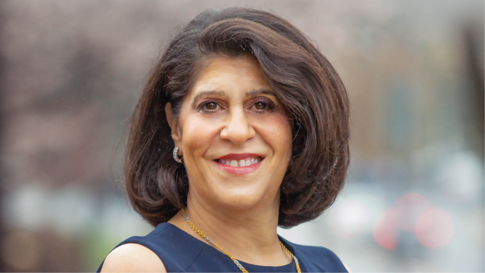
Exclusive Interview with Nadine Alameh, Executive Director of the Taylor Geospatial Institute, a consortium of 8 academic and research institutions led by Saint Louis University on geospatial innovation, social impact, complex global challenges, and more.
You have been associated with the geospatial industry for a long time. How do you feel about taking the helm of the Taylor Geospatial Institute?
It’s a privilege because there’s never been a better time to make an impact at scale with geospatial! And yes, I have been saying this every year for the last 20 years. I said it in the late 90s, when I was a student at MIT, experimenting with the first Web Map Service (WMS) serving bits and pieces of Landsat Imagery in a simple format that could be layered with other data sources.
I said it at the turn of the 21st Century when we all witnessed the power of geospatial in the 9/11 rescue efforts – using data from thermal sensors, aerial imagery, LIDAR, and more. I said it when Google Earth and Google Maps became household names in the early 2000s.
I said it in the mid-2000s when I worked at the NASA GeoSciences Interoperability Office to make it easy for researchers everywhere to use the voluminous NASA Earth Science data. I said it when the Geospatial Data Act was signed into law in 2018.
And I said it when COVID-19 made geospatial front-page news in 2020! I continue to believe that now is the perfect time for geospatial to exert a positive global impact: as I see space exploration and utilization expand and intersect with geospatial, as I constantly hear the phrase “GeoAI”, and as I see the shift of geospatial from 2D to 3D to the Metaverse – like when Epic Games recently announced a new plugin bringing Geospatial 3D datasets to Unreal Engine!
Geospatial innovation impacts multiple sectors and could help us solve some of the most complex global challenges. How do we harness its untapped potential?
For those of us who have been in geospatial for decades, the building excitement around geospatial is coupled with rising frustration – frustration that our vision for what geospatial can do is taking so long to realize.
I know that geospatial can revolutionize how we plan and respond to disasters, track and adapt to climate change, predict pandemics, anticipate supply chain disruptions, achieve equity, ensure sustainability, and improve the quality of life on this planet.
As the clock keeps ticking, we have not yet arrived at this reality, With climate specifically, there’s a sense of urgency. Our world is getting more, not less, challenging despite all the technological advancements and innovations.
This is why I think now is the best time to be at the Taylor Geospatial Institute (TGI). We sit at an inflection point between these bracing realities, at a fulcrum balancing humanity’s potential to address global challenges with the complex problems we face.
TGI is uniquely built to fuel geospatial research that can understand climate impact, predict disasters, analyze migration patterns, measure carbon sequestration,
improve property insurance and more.
How can TGI deliver on its promise to spark a revolution in geospatial science and technology that will benefit humanity?
TGI can change the scale and impact of geospatial science and technology by:
- Harnessing the power of collaborative, interdisciplinary research with hundreds of researchers across our consortium to solve problems in public health, food security, national security, disaster resilience, and more.
- Leveraging and advancing science & technology from improved sensor technology to advanced unmanned aerial vehicles and drones to applications of AI/ML to the increased sophistication of cloud native computing, supercomputing, and quantum computer & information science.
- Nurturing the next generation of not only data scientists, but also of decision and policy makers
- Partnering with industry, government, and end users for maximum impact
As a geospatial community, we are finally at a place where we can transcend the boundaries of science & technology to focus on transformative, accessible solutions to our shared problems.
TGI represents the right model for this type of shift. A community built on collaboration bent on innovation, and aimed at impact is the only way that we can mobilize a geospatial research effort that is scaled appropriately to address such complex challenges. I’ve always been one of the biggest cheerleaders for geospatial as the key to making the world better. Now, as the leader of TGI, I believe this is the right place at the right time to finally make it happen.


