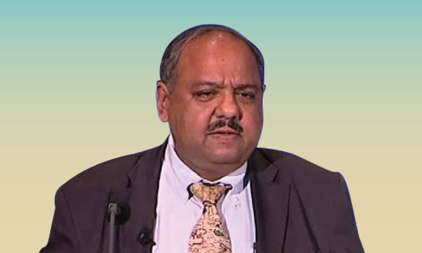
In conversation with Nagaraja Rao Harshadeep, Global Lead (Disruptive Technology), Lead Environmental Specialist, talks about how the World Bank is developing new mechanisms for geospatial AI and spatial chatbots to make information easily accessible to everyone around the world.
How GIS data can be better used with disruptive technologies like AI/ML and IoT etc?
A lot of different technologies can be leveraged such as new sensors, be it sensors on the ground in terms of being able to generate data relating to the flow of water, its quality, or soil moisture, all the way to sensors in satellites, or drones for aerial surveys of large areas to get a synoptic view of the world. At the World Bank, we have been trying to explore how GIS can be better used with disruptive tech.
Now, big breakthroughs are coming in the way how data is managed, processed, made accessible, and again, packaged to make new kinds of systems to get insights into what the data means and use it for development. And that’s where the use of AI/ML has a major role to play.
At the bank we have been trying to develop new mechanisms to do geospatial AI, trying spatial chatbots to see how we can make these systems easily accessible to everyone, including the poorest around the world.
It’s now no longer just about poverty, but also about alleviating poverty on a livable planet, which means dealing with issues of pollution, biodiversity, climate mitigation, adaptation, and a whole range of these global issues which are all spatial. And that’s why I think this combination of technologies would be the paradigm shift to accelerate development and make a change.
How can the national geospatial agencies help?
National or state-level geospatial agencies need to make data easily accessible to enable the development of public data infrastructure in an interoperable manner. So that the data can be used for modelling based on Earth observation data to get better insights, and accurate forecasts in terms of not just the weather, but also estimating the occurrence of disaster events like floods, river flows, also development of early warning systems or digital Monitoring Reporting and Evaluation (MRE) systems.
The problem is that a lot of the data-based applications and services are developed for and leveraged by people who can afford them. This is where it would be really useful to make sure that the poorest shareholder like the farmer can also be able to be access data for their plot of land, in terms of soil moisture, vegetation growth, and crop yield compared to somebody else’s yield around them or being able to leverage a lot of extension services which are automated.
Based on the data, there the grassroots level people will be able to learn how to use a lot of these new technologies for every aspect of the work that they’re doing. Or to be warned about a new flood that’s on its way or a coastal storm or being able to find out whether they’re eligible for drought relief based on what’s happened because we have a slightly more impartial eye in the sky that can do a lot of these analytics quickly and help with a lot of these systems put in place.
We have been supporting three generations of hydrology programs to see the data put in the public domain a bit better and a lot of progress has been made. This is something that can help transform a lot of areas by making data more easily accessible within a year or two. India has been at the forefront of a lot of these digital systems that are out there.
By making a lot of the core basic data related to natural resources and other aspects, especially the in-situ data that are measured painstakingly by many people in different government agencies. It’ll be useful to see if that data can be unleashed so that the data can be used for better training and modeling based on EO data to get better insights.
There is a lot of talk about Digital Twin and HD maps acting as the fuel of digital transformation. What do you think needs to be done to foster a comprehensive and innovative geospatial ecosystem?
New ways of data visualization, new kinds of dashboards, new kinds of interactive charts, maps, graphs, and thematic in different ways are the core of the transformation that has started happening because it’s not just clever things that can be done with a lot of the analytics fueled by different types of technologies, but the ability to then have people interact with those better.
A lot of this data visualization has now spilt over into other universes like a lot in the aspects of AR/VR, especially in the Metaverse, which has the potential to be used in amazing new ways to be able to visualize a lot of things and interact with them in new ways. Today a lot of the Digital Twin concepts are applied mainly for really big projects, but there should be a Digital Twin for even a small community-driven development project like agricultural demonstrations or of a small forest patch, etc.

There should be a Digital Twin of every city, every watershed, and every project activity that’s happening. We are trying to see if we can help make this a standard approach to make Digital Twins of every investment that we make so that it can be started in not only using it for planning but also monitoring, being able to share information with all stakeholders, doesn’t matter which part of the world, teams or clients are in.
So that other people can learn from these Digital Twins before they embark on activities in different parts of the world. It is still something that isn’t at scale right now because everyone is doing their own little thing and interoperable systems are not quite there yet at scale. But it’s getting there because a lot of the underlying systems and data and other things are becoming more easily accessible either as free open services or as subscription services that are reasonable costs. With this, we’ll see a growth in the next few years of basically the proliferation of Digital Twins everywhere.
One challenge will be that there will probably be many different versions of Digital Twins for the same location, and there’ll be a call to try and see if we can do a more unified Digital Twin for a particular city watershed or system. There will be calls to try and make these interoperable and more global. And that’s why I think a lot of this new revolution is also helping us think a little bit differently in the sense the activity has to be relevant at different scales, be it at the level of a village or even a household or to global scale.
What is the World Bank’s vision for bridging divides and forging collaborative transformation?
The biggest challenge in the world and also at the World Bank is that technology is moving at a disease speed, including on the geospatial side and all related technologies.
The challenge is that most people in organizations like the bank or in our counterpart organizations or other supporting organizations all have a headless chicken routine in terms of being able to focus on particular activities. And then you don’t have any time to be able to pause sometimes to learn about all of these new things that are happening around you.
So we need better ways in terms of helping folks to be able to learn from what’s happening around us and to be able to leverage a lot of these new changes that are happening.
So we are trying to find mechanisms for that both in the bank as well as working with different governments and helping them set up such mechanisms. The challenge here is to make sure that everyone can cross learn quickly so that we can accelerate the whole development process and develop even bigger and better systems that can help more people in this regard.
As Rumi said in the 13th century when he was describing the elephant in the dark room, everyone sees a different thing when they look at different parts of the elephant in the dark room. But to appreciate the whole beast, we need to look more multi-sectorally and expansively, building on each other’s observations.


