As another summer approaches, Greece braces up to fight the wildfires like many other countries around the globe. Climate change has made the situation worse by intensifying the wildfires and making them deadly.
In July 2023, as many as 28 were dead and 75 injured by the more than 80 wildfires in the nation. The highest temperature reached 41.1oc and this year it is anticipated that the highest temperature will reach 45oc.
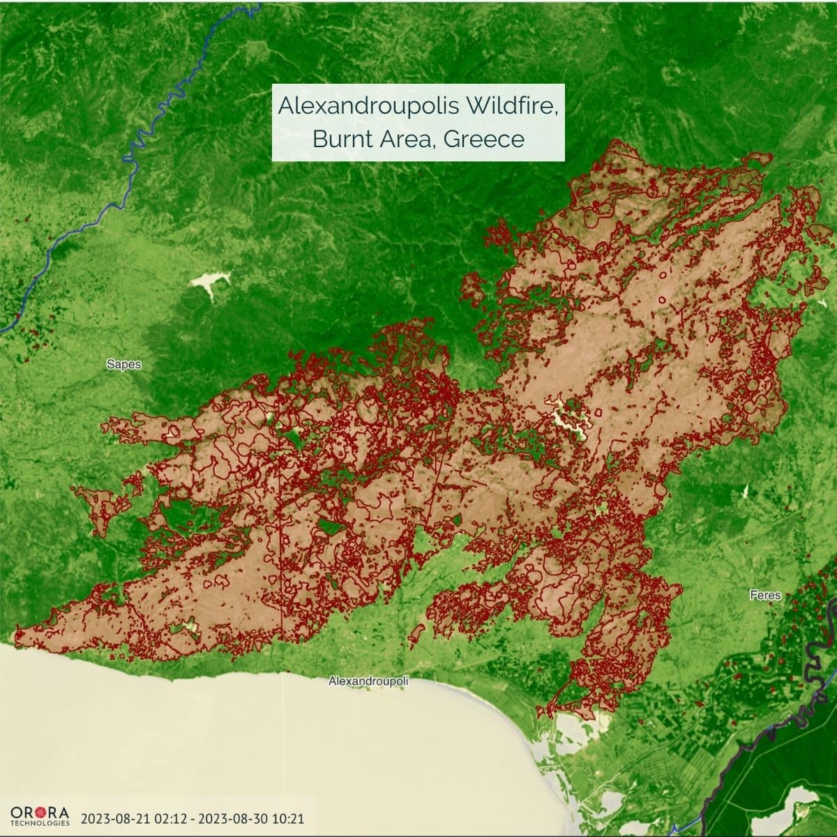
In recent years, Greece has experienced a significant number of wildfires that have affected approximately 2 percent of the country’s total land area. Because of its rough mountainous terrain and over 6,000 islands, fighting wildfires in Greece is difficult. Monitoring for fire in remote and mountainous areas, where communication is limited, calls for more advanced detection technologies.
Greece invests in orbital tech

As the weather turns hot, conditions become dry, and with strong winds the wildfire situation worsens. As more and more countries brace themselves for a hot summer with constant risk of wildfires – and more holiday makers prepare to head to the heat – Greece is a great example of how technology – and spacetech – can play a role in mitigating the spread of wildfires and being alerted to them fast.
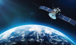
This year the Ministry of Digital Governance has announced €20 million investment to provide an urgent solution to combating the problem of the increasing frequency and intensity of wildfires. The investment will go into developing four thermal satellites and a wildfire system with the thermal intelligence provider OroraTech.
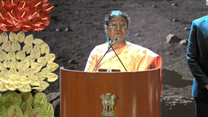
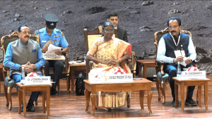
“By investing specifically into orbital technology, we are making a real difference in monitoring wildfires that threaten human lives, our ecosystems, and our economy,” claims Greek Minister of Digital Governance Dimitris Papastergiou. “OroraTech’s wildfire detection and monitoring system scans for fires from orbit, creating unmatched situational awareness.”
How will it work?
OroraTech and its Greek partners won the contract in an open tender by the European Space Agency to support the Greek National Satellites Space Program led by the Hellenic Space Center. Founded in 2018, OroraTech, a Munich-based company, uses infrared data from satellites to provide wildfire intelligence to Government and private industry customers.
Together with a consortium of Greek subcontractors, OroraTech will deliver a system for wildfire management, including ground systems and processing services, as well as a constellation of thermal imaging satellites dedicated to monitoring the entire country of Greece for wildfires.
This development contract will be implemented by the European Space Agency and led by the Greek Ministry of Digital Governance and the Hellenic Space Center.
“The capability OroraTech developed through the agency’s funding is a powerful example of space technologies providing immediate and critical benefits here on Earth,” comments the Director of Earth Observation Programmes at the European Space Agency, Simonetta Cheli. “As the Ministry of Digital Governance and OroraTech build Greece’s thermal constellation, we at the European Space Agency continue providing our expertise as we build a safer and more resilient Europe.”
OroraTech’s role
OroraTech’s data services will be directly connected to the Greek emergency services and employ the expertise of Greek universities and industry. The company partners with the National Technical University of Athens to develop data product algorithms, the National & Kapodistrian University of Athens on space sensor development and calibration initiatives, Satways Ltd. on product interoperability, and Attisat S.A. on building a Greek-based ground station.
“The world-class know-how of our Greek partners for thermal sensing is instrumental in providing the best solution for this country,” stated CEO and CTO Martin Langer of OroraTech. “Greece will be the first country worldwide to have a National satellite-based wildfire system in place.
OroraTech will significantly invest in Greece over the next years by opening an operations hub in Athens for its entire fleet of space sensors and a development team dedicated to advanced infrared sensing technology.
Advantage of Orbital technology
OroraTech’s spokesperson told Geospatial World that when it comes to forest fires, many times the fire takes place very far away from people’s habitat, or in very rural locations where it wasn’t seen for a couple of days. And at that point the fire becomes so large that it cannot be controlled. This is where orbital technology helps detect the fire as it breaks out and sends alert before it becomes too big.
“The other advantage is that our satellites are continuously updating the emergency personnel in the route to show where the fire is, how the fire is spreading and where it’s going to spread next. So the role of orbital technology when it comes to forest fires, provides real time update and makes a real change when it comes to detecting and managing the fires,” he adds.
Wildfires detection strategy

Apart from Greece, Canada and Australia also face intense wildfire activity. OroraTech has its presence in 16+ countries and are closely working with SOPFEU Quebec, Canada as well as FCNSW Australia. And they are eager to work with other countries as well.
ESA provides funding as well as help OroraTech develop a number of technologies, platform planning that are being used for the national system.
“We have a network of about 25 satellites right now that are constantly looking at the Earth. These mainly work on the infrared spectrum, some being Low Wave Infrared, some being Medium Wave Infrared, and some both. As fire breaks out anywhere, the infrared signature spikes and we can determine the location and size of the fire. Once we collect that data, we put it on our Wildfire Solution platform to map where this fire is occurring and how big this fire is. We then build data tools on top of that detection, such as our Fire Spread AI tool to predict the direction and spread of the fire, which can be used to inform the local authorities directly to take action and contain the fire,” the spokesperson told Geospatial World.
This project comes as Greece prepares for another hot summer with the threat of destructive wildfires. In recent years, Greece has experienced a significant number of wildfires that have affected approximately 2 percent of the country’s total land area. Because of its rough mountainous terrain and over 6,000 islands, fighting wildfires in Greece is difficult. Monitoring for fire in remote and mountainous areas, where communication is limited, calls for more advanced detection technologies.