Geographical information has played a vital role in the history of humankind. At its core, geography and its knowledge can help in hurling the capabilities of humans. The sheer sense of awareness of one’s surroundings can have a lasting impact on the self and the things around us.
Couple this with a system that helps you visualize and plan the future possibilities of a particular geography and you get a Geographical Information System (GIS) – a technology that helps in analyzing and visualizing spatial data.
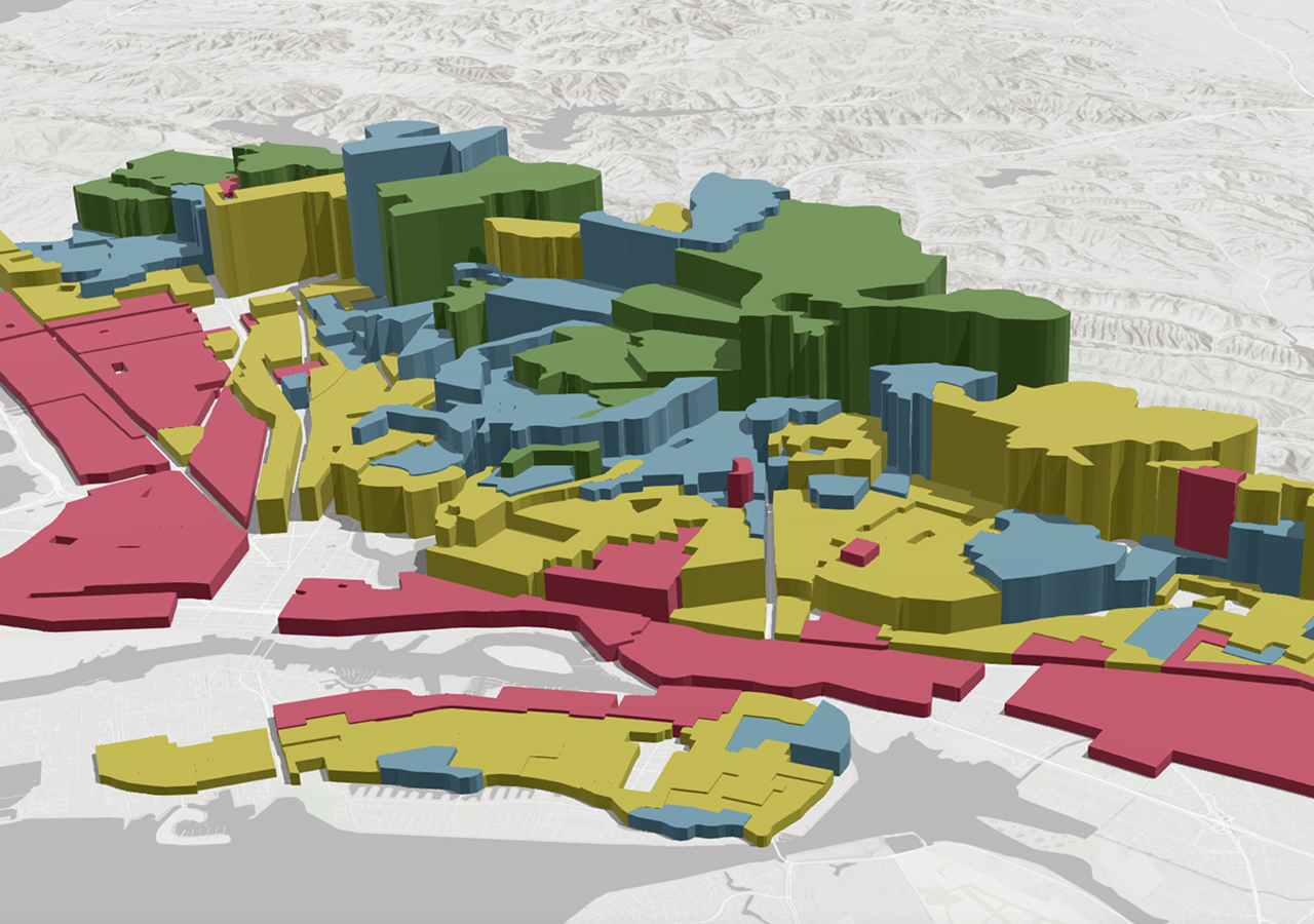
Geography can be tricky, with various vectors, axes, projections, and geodetic datum. With GIS, these complex systems are intertwined into one simple database of information that is easy to present and understand. Basically, it helps simplify complex geographic data into simpler information modules that help in visualizing that data.
Looking Forward
Over the years, GIS has been developed into a system of systems – a technology that has adopted several other technologies into its umbrella – such as AI, drones & UAVs, and satellites. Even modern cloud computing and storage have helped the cause of GIS, expanding it into newer territories of various industries.
Traditionally, GIS has been mostly used for applications such as spatial planning, asset management, and result-oriented decision-making.
As Esri President Jack Dangermond wrote, “The geospatial industry is quickly evolving because the capabilities of digital connectedness and collaboration are moving ahead exponentially. In fact, the five biggest trends in the area of GIS technology are centered on making data more accessible and creating context to visualize this data in an age when fast, easy access to information is taken for granted.”
We can see these developments in real-time around us with the new age of technology and the sheer pace at which technology is moving.
New Models
Now, location data is being modeled as a service thanks to its vital role in marketing, logistics, and retailing. This helps GIS professionals to directly connect with consumers through websites and provide easy-to-access visualization.
Gathering and sharing geospatial data has been transformed by cloud computing, which in turn has increased the ever-so-important interoperability. Geospatial data is humongous in size and contains several layers of technicalities, which have been eased by cloud technology. As cloud computing grows, the movement, analysis, and visualization of geospatial data shall become even simpler.
Mobile and telecom services have been one of the biggest users of geospatial technologies. With phones becoming more sophisticated year after year, real-time updating of data in different and even tough geographies has streamlined. Positioning, Time, and Navigation (PNT), an important technology for not just mobiles but national security, has bettered exponentially and with the momentum in hand, is poised to grow further in the coming years.
“Everything from smartphones to crowdsourced social media feeds is being used to integrate real-time data from the Internet of Things (IoT) directly into a GIS layer stack, where the data is analyzed, visualized, and reintegrated into online applications for use by either professionals within the enterprise or by consumers and citizens,” said Jack Dangermond.
Opportunity for GIS
As the focus on sustainability grows, a new path also opens for GIS. Centre to some of the biggest climate developments in the 21st century, GIS can help identify climate change over time, be it in sea, space, or on land. This also extends to emergency management, where GIS can provide valuable alerts before a calamity such as an earthquake or forest fire.
GIS can also be heavily used in some of the mass-oriented industries such as retail, public health, and marketing.
Businesses and professionals around the world have realized the importance of GIS and have incorporated the technology into their workflows. With emerging technologies such as Artificial Intelligence (AI), Machine Learning (ML), Metaverse, and Virtual Reality (VR), the scope for
On the eve of GIS Day 2023, Esri India Managing Director, Agendra Kumar expressed his gratitude for the GIS professionals and said, “I want to congratulate all the GIS professionals for all the amazing work you are doing using GIS Technology. We want to bring together all the community, academia, users, and learners on the occasion of GIS Day. So that they can see the amazing work that is being done and you as a professional can share what more can be done within your organization by using GIS and provide more value to your organizations and the community at large.”