
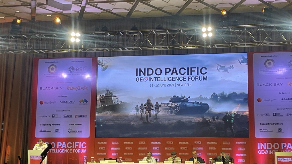
The Indo-Pacific region has been gaining impetus in terms of its role in deciding the next world order. With more than half of the world population residing in the region, and close to 60 percent of world trade going through the Indo-Pacific seas, safeguarding its security becomes paramount.
Vice Admiral LS Pathania, Chief Hydrographer, Govt of India, reiterated the critical role of geospatial in the overall management of the region.
Excerpts from his speech:
The increasing significance of the Indo Pacific region in the world order has resulted in key partnerships on various domains amongst the countries worldwide. The region offers unique opportunities as well as challenges.
Indo-Pacific hosts the world’s busiest trade routes in the world. With oil and manufacturing goods traveling on a daily basis, it demands greater security.
For centuries, maritime domain awareness and geospatial have been instrumental for safeguarding critical assets. As a Hydrographer, I have witnessed first-hand the transformative potential of geospatial technology in enhancing maritime safety and security.
Geospatial intelligence revolutionizes our understanding of sea and land. High-resolution satellite imagery, accurate positioning systems, advanced depth imaging equipment sophisticated data and analysis tools allow us to produce detail maps, nautical charts, monitor coastal changes, and predict sea level fluctuations with unprecedented accuracy.
Geospatial technologies provide a common platform for collaboration enabling countries to share data and build trust.
However, there are some challenges that include data sharing, technological capacity, and infrastructure. Establishing protocols and frameworks for data sharing, developing capability, and promoting partnerships between government agencies as well as the private sector is crucial to developing expertise in the domain.
Geospatial requires robust data capturing and analysis tools and hence we need to invest in infrastructure such as satellites, remote sensing platforms, and data centers.
Emerging technologies such as Artificial Intelligence and Machine Learning hold great promise for geospatial applications.
Geospatial technology is the cornerstone for enhancing security and stability for the Indo-Pacific region which faces significant challenges territorial disputes, piracy, illegal fishing, and environment degradation.


