
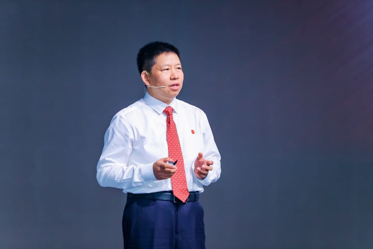
The 2023 Geospatial Information Software Technology Conference, a GIS industry event held in China ended in June. One of its organizers, SuperMap software group, a platform software and application software manufacturer, released new products at the conference. “If spatial data wants to exert its value, it needs to flow from the upstream to the downstream of the industrial chain. The upstream is to generate and obtain spatial data. Downstream is the place where spatial data exerts its value and include various application scenarios. While midstream is the GIS platform software, which provides a wealth of geospatial intelligence (GI) capabilities, and can quickly transmit upstream spatial data to downstream, allowing spatial data to create application value,” says Dr. Song Guanfu, the Chairman of the Board of SuperMap Software Group in an interview.
The theme of the GISTC2023 conference is “geospatial intelligence”. From the perspective of the GIS industry, what efforts need to be made to realize geospatial intelligence? What advantages does SuperMap have in this regard?
To realize the value of geospatial intelligence, the upstream and downstream of our entire industrial chain need to make efforts. The upstream mines information based on production data, and the midstream uses software to bring out the value of information, analyze and refine knowledge. The downstream is to develop applications in various industries. SuperMap is mainly in a midstream position, connecting upstream and downstream, so our position is critical.
Of course, our efforts are to do more work to better connect the upstream and downstream, so that data can flow smoothly and create value. Thus, we focus on connecting with the upstream. We have done a lot to connect with spatial big data and IoT data, as well as with BIM data design software, including opening to data of surveying and mapping and remote sensing, which builds a bridge between different types of data. Moreover, users now have higher and higher requirements for the performance of data applications. Yesterday’s data will be used today, but they won’t be able to do it if different types of data are incompatible with each other. Therefore, we solve this problem through various types of data integration, surveying and mapping integration, remote sensing integration, etc.
You mentioned integration and innovation at the conference, which is a very important hotspot of geographic information. In your opinion, how does GIS technology integrate and innovate?
The GIS industry is generally open. It is constantly embracing new technologies. We are a part of IT, and we embrace broad IT technologies. Five years ago, we adopted artificial intelligence (AI) technology, and applied it to GIS data production, and data management, including data analysis. That has further improved our intelligence. Things that traditional algorithms could not do in the past, or things that were not fast enough, can now be done, so AI has greatly promoted our applications.
In addition, there are distributed computing technologies. ChatGPT, which is very popular this year, is a large pre-training model. We also use this technology in AI. The purpose of integration is to innovate a certain technology to provide stronger capabilities to further innovate and enhance the power of geospatial intelligence.
The value of our industry is that we can bring geospatial intelligence to IT. We must continue to innovate technologies so that geospatial intelligence can provide richer value to empower the wider IT industry.
What technological breakthroughs does SuperMap have in this regard?
This year, we proposed “Geo-perception” and added it to the “Geospatial Intelligence Pyramid” we proposed years ago. Geospatial perception based on remote sensing images is called intelligent interpretation. This feature enables object detection, object extraction, automatic identification of land use classes, and detection of land surface changes. Geospatial perception based on video data can be used for traffic monitoring. Real-time geospatial perception based on AR (AR glasses, mobile phone cameras, etc.) can be used for park facility management. When you turn on the camera, you can see walls, underground facilities, and pipelines, which can be used for the management of parks and communities, and even building metaverse.
Another breakthrough is evidenced by one of our main products released at the conference——remote sensing and GIS integration software. The process from remote sensing raw data processing to its application can be carried out in remote sensing software, but data management, data release, and data application all require GIS software. Data conversion between the two different software takes time and software switching is laborious, which hinders the release of the value of remote sensing data. Therefore, the market urgently needs the integration of remote sensing and GIS. Based on the remote sensing technology experience accumulated since 2018, SuperMap launched a new generation of remote sensing image processing software. And the integration of remote sensing and GIS is one of the important features of this product.
In terms of spatial data management, the integration of remote sensing and GIS as well as the integration of distributed storage technologies have been realized. The core part is the integrated C++ level kernel of remote sensing and GIS, which realizes cross-platform capability; there are also Java components, including GIS functional components, and two remote sensing corresponding modules: remote sensing image data processing and image intelligent interpretation. On top of the kernel and components, we developed SuperMap iDesktopX, the integrated desktop platform software of remote sensing and GIS, and SuperMap iServer, the integrated server platform of GIS and remote sensing.
About GIS technology, how the continuous progress of this technology will promote Digital China?
All aspects of the construction of digital China are inseparable from GIS, remote sensing, and intelligent technology, so GIS can be used as an important supporting base technology for digital China.
SuperMap has two bases, the database, and the technology base. To build a Digital China, we need to integrate information from different departments and compare them to discover the problems and principles behind them. There are two methods for us to compare information. One is to compare by time to see growth or decline year-on-year and quarter-on-quarter, and the other is by spatial location. By spatial location, we need to organize data hierarchically, and each layer has coordinates, then we overlay planning, greening, and construction layers to find conflicts and problems. Comparing information by spatial location is a key technology for cross-departmental information integration.
Second, our geographic information software manages these data and allows you to compare information, so it can provide a technical foundation. These are the two bases.
The geographic information software not only can manage time and numerous attributes that IT could manage but also location and other attributes, which upgrades the value of IT to XYZ. This is the unique value we bring to Digital China, including digital government.
We not only contribute to domestic development. As a key player in Information Technology Application Innovation Industry, Spatio-Temporal Big Data, Artificial Intelligence, and Virtual Reality, SuperMap has developed distributors and partners in more than 50 countries, as well as local staff in more than 20 countries. We look forward to building cooperation with more partners to better meet the overseas markets.
ALSO READ: Regional Language Focus Crucial for Cybersecurity Awareness


