
The world is progressively becoming data-driven with geospatial information becoming the basis of our everyday digital experiences, of how we consume information and interact with our surroundings. This shift necessitates a new generation of geospatial content and innovation for Geospatial Data.
Geospatial Data in Oil & Gas
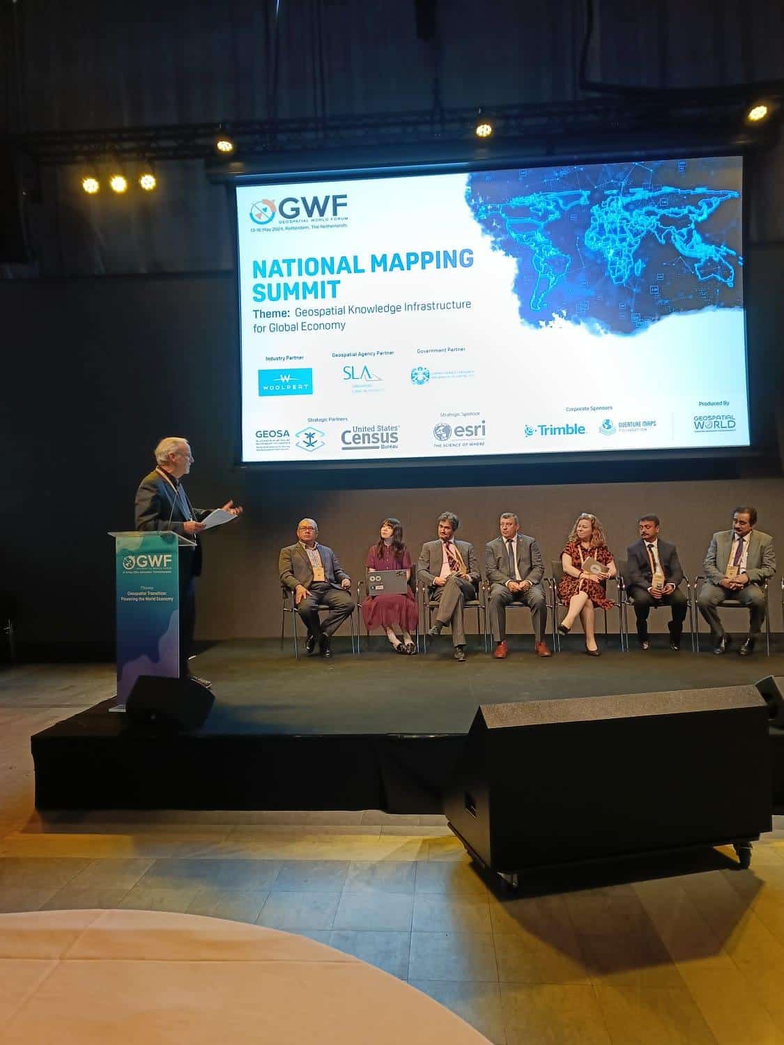
Kaustav Nag, Additional Director General (Exploration), Directorate General of Hydrocarbons, Ministry of Petroleum and Natural Gas, India gave the keynote of the opening session of the final day of the National Mapping Summit at GWF.
In his keynote, he explained how Geospatial Technology is intertwined with the Geophysical data distribution in India.
He said, “In the field of Oil and Gas Exploration, Geospatial Tech is in every facet of Exploration, Production, Transportation and Data Management. Data that is generated due to exploration has a time value. Geospatial Data is very crucial in oil and gas exploration sector.”
Identification of Oil and Gas Micro Seepage, Geology Mapping and Lithology Mapping are some of the areas where Geospatial Tech is used in the Oil & Gas Exploration Sector. Along with oil and gas, there is a search for critical minerals, and strategic minerals whereby all the concerned ministries need to work together.
India imports around 88 % per cent of crude oil, so this industry is going to remain at the forefront. Taking the example of Krishna Godavari Basin, he explained how GIS systems integrate seismic data with topographic data (roads, rivers, water bodies, buildings). This integration of spatial analysis tools results in powerful solutions.
Centralised Geospatial Data Platform
Highlighting the importance of verifiable data, Laura D’heer Geraldine Nolf and Loes Deventer from Digitaal Vlaanderen, Belgium explained how central platforms like Datavindplaats, has access to the most extensive range of information in Flanders. The platform is reliable and secure.
Instead of providing a portal for each individual data or information domain, all domains can be one user-friendly portal where the information shown is based on the umbrella concept so the user interface can remain simple, clear and easy to use.
Another platform Geopunt provides access to government geographical information in Flanders, Belgium. For a use case, Loes explained how a flood risk map affecting cultural areas in Belgium can be generated using Geopunt.
In the erstwhile state of Victoria, Australia, Vicmap is used which is a collection of spatial data products. It’s the foundation of Victoria’s geographic information systems and mapping, and is made up of 463 datasets on land, property, environment, and infrastructure.
Craig Sandy Surveyor-General of Victoria, Department of Transport and Planning, Australia gave a glimpse of the four-year initiatives in this focusing on two of the initiatives, one being the Digital Cadastre Roadmap and the other being Digital Twin.
He said, “In the digital cadastre roadmap, in order to move to the 3D component of the Cadasters, we have to get the 2D component of the data right. We are at stage 3 i.e. Integration having already completed digitization and adjustment last year. Over 3.62(90%) million Vicmap parcels have been improved spatially through this process.”
Urban Digital Twin
PLATEAU is a project that focuses on developing, sharing and utilizing 3D city models and Urban Digital Twin Data. The project promotes the digital transformation of urban development by building an ecosystem for the development, utilization, and open data of 3D urban models.
A project by the Ministry of Land, Infrastructure, Transport and Tourism (MLIT), Japan, the digital transformation of city planning based on PLATEAU will solve social and regional issues.
Yuri Tsubaki, Deputy Director, Urban Policy, Ministry of land Infrastructure Transport and Tourism, Japan explains the benefits of the said usage, “The value the Project Plateau offers is High-Quality data, proper Data Structuring and availability of Open Data. We developed the standard data product specification for 3D city model. It has resulted in the unification of specifications, standards and quality of 3d city models in all of Japan.”
Nazri Othman, Johor State Director, Survey and Mapping
Department of Survey and Mapping Malaysia (JUPEM) talked about MyLOT initiative which is an application developed in-house in Malaysia using spatial awareness through cadastral survey information.
He said, “MyLOT app helps users with identifying location property, property shape/geometry. The app has fulfilled its criteria of being free to use and sustainable. MyLOT users have increased to almost 3 million by May 2024 and are projected to increase more.”
GeoAI Solutions and SDGs
AI for Good is a digital platform that connects AI innovators with problem owners to find practical AI solutions to help the United Nations achieve its Sustainable Development Goals (SDGs). The ITU organizes the platform in partnership with 40 UN Sister Agencies and Switzerland.
Andrea Manara, Senior System Analyst/Programmer, Focal Point for Geospatial Information Management, International Telecommunication Union, Switzerland explains why there is a demand for geospatial AI.
He said, “The rise of geospatial AI is due to 3 reasons, increased availability of geospatial earth observation data, advancement of AI and Massive Computational power.”
The platform’s goals include advancing sustainable development goals and targets connecting AI innovators with public and private-sector decision-makers helping scale up AI solutions globally.
Chiranjit Guha, General Manager, Foundation for Ecological Security
India concluded the session by highlighting the India Observatory platform which is a beta data platform that houses various datasets on social, economic and ecological parameters and serves as a data visualization platform promoting an interdisciplinary, spatial and temporal understanding.
He underlined the need for a common data collection platform saying, “We need to have a platform to host crowdsource data to complement CGWB data. There are a lot of organisations collecting data but no one else is archiving it in a common platform. In India, there is a need for Social, Economic and Ecological Data to work together.”
Geospatial data is being utilized in a transformative capacity across various industries across the world and the need for accurate, accessible and innovative geospatial solutions is undeniable.


