PierSight is solving the problem of visibility in the maritime domain by building a constellation of satellites with dual sensors – Synthetic Aperture Radar (SAR) and Automated Identification System (AIS). This constellation will monitor the oceans in real-time providing situational awareness through persistent surveillance.
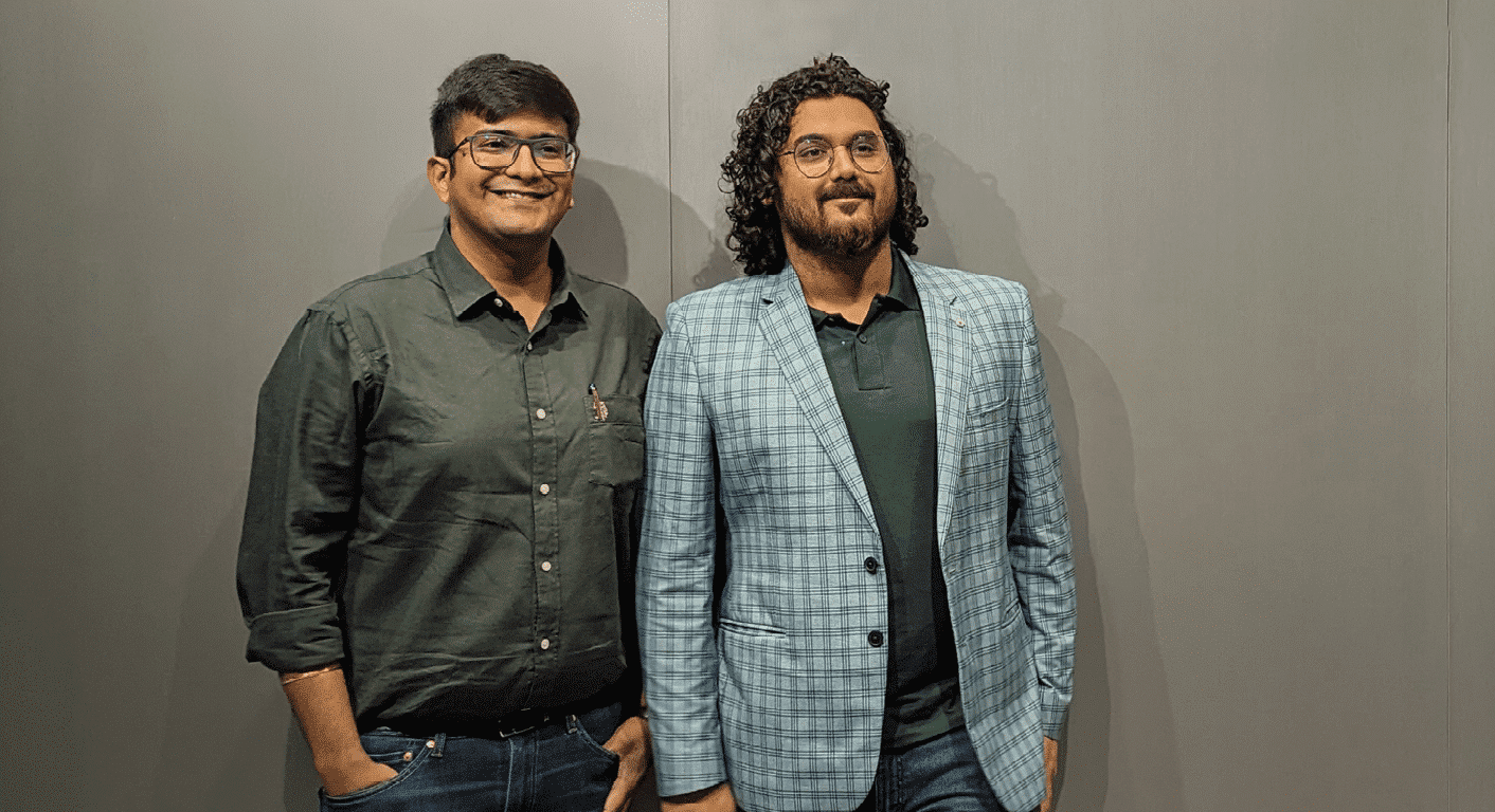
In an exclusive interview with Vinit Bansal and Gaurav Seth, Co-founders of PierSight, they shed light on the finer details of PierSight’s technologies.
There has been an upsurge in demand for near real-time data and insights. How does PierSight ensure real-time satellite data for our oceans?
There are several EO satellite constellations, but they tend to be general purpose. The majority are electro-optical satellites which cannot penetrate cloud cover or image during the night. Our satellites utilize synthetic aperture radars (SAR) which are active sensors. They can image day and night and even in poor weather conditions.
As a result, a constellation of these satellites could cover every inch of the Earth at all times. But if you look at typical synthetic aperture radars (SAR), those are meant for multiple applications at a time. They cater to land mapping, ocean imaging, crop identification, et cetera. We’ve taken a different approach.
Our satellites are purpose-built specifically for maritime applications. We have deterministic targets in ships and other presence of human activity in the sea. This laser-sharp focus helps us optimize our satellites for wide area coverage and increased persistence. We can capture a lot more imagery than a typical SAR satellite in a single orbit. Every 10 minutes, each satellite can image up to 2,30,000 square kilometres of ocean area.
Coupled with an optimized system for onboard processing, it makes it easier to downlink relevant information. This is the strategy through which PierSight is offering its data and analysis in real-time.
Talking about data, there is an urgent need to develop sophisticated analytical tools that can cater to customer needs. With the advent of generative AI that we are seeing nowadays, do you see it as a suitable tool for geospatial and satellite data analysis?
Analysis and visualization of data is already a mature process. However, all the data is only valuable if you can derive useful insights from it. GenerativeAI has been surprisingly useful in interpreting data and making connections between disparate data.
But it certainly speeds up the querying of data and makes the life of a data analyst significantly simpler. Moreover, it could prove to be valuable for non-tech people to make sense of complex data. However, LLMs are also known to produce erroneous information. Until the technology improves it can’t be trusted blindly.
We are witnessing an upswing in Illegal, Unreported, and Unregulated (IUU) fishing, oil spills, unsanctioned trade, and piracy amongst other oceanic problems. What are the measures that can be taken to reduce these risks?
Nations and private organizations that work toward safeguarding the oceans have finite resources and struggle to reign in IUU Fishing, unsanctioned trade, detection of oil spills, or other ocean crimes. The first step toward prevention and reduction is the ability to monitor in real-time.
The second step is a joint effort by nations and organizations to apprehend perpetrators. Lastly, there must be proper channels for holding them accountable. We can speak specifically about the first step – real-time monitoring. At PierSight, we believe that situational awareness of the ocean needs to be the default. The most effective way is to have an always-on space-based monitoring system.
You could think of our constellation as giant CCTVs in the sky, equipped with microphones (listening to the AIS ping). Persistent monitoring would mean that ‘dark ships’ would no longer be dark, and ships engaged in illegal activities would find it hard to operate under the radar. Studies show that the presence of CCTV reduces crime in a neighbourhood. There’s every reason to believe that surveillance technology could act as a deterrence for ocean crimes.
What role can space play in safeguarding our oceans and helping to make our oceans more sustainable?
If you look at the United Nations Sustainable Development Goals (SDGs), the 14th Goal is about our oceans. And there are various ways how space can improve sustainability in this arena. There was an oil spill incident earlier in the year. A barge carrying over a million gallons of oil sank off the coast of Tobago. The tugboat pulling it had turned off its AIS transponder just before it entered Tobago’s EEZ.

After the incident it absconded and was finally apprehended 3 months later and thousands of kilometres away in Angola. Were our constellation in operation, Tobago’s coastguard would have been alerted before it entered their EEZ, all because of its illegal behaviour of turning off AIS. The tugboat could have been apprehended immediately and maybe, the oil spill could have been prevented in the first place.
Data fusion from our Synthetic Aperture Radar (SAR) and Automated Identification System (AIS) would help in the detection and identification, bringing much-needed accountability. Without a space-based platform, it wouldn’t be feasible to obtain real-time data for 100% of the ocean.
A satellite in low earth orbit moves at eight kilometres per second and a constellation in a lower earth orbit with constant imaging capability day and night and through clouds is the most optimized way to have complete coverage over these oceans.
What is the future roadmap for PierSight?
We finished the integration of our demo satellite recently. It will be launched soon. Well before our first hardware has been sent to space, we’re already building solutions that solve some of the most pressing problems.
In February, we won the INDUS-X for both US & Indian challenges. We devised a cutting edge solution for detecting and tracing oil spills in near-real-time, along with its characterization, forecasting its spread, and assessing density. More recently, we reached the finals of the NSIN-NGA grand challenge for fishing forecasting and the detection of illegal fishing.
Just as with predicting oil spills, we are also developing a solution to predict illegal fishing activity in the oceans. This challenge from NSIN-NGA underscores the need even for the US, a country with the most sophisticated coastguard. Our complete satellite constellation will be in space by 2028. Eventually, we will build other application-specific constellations for niche SAR use cases.