
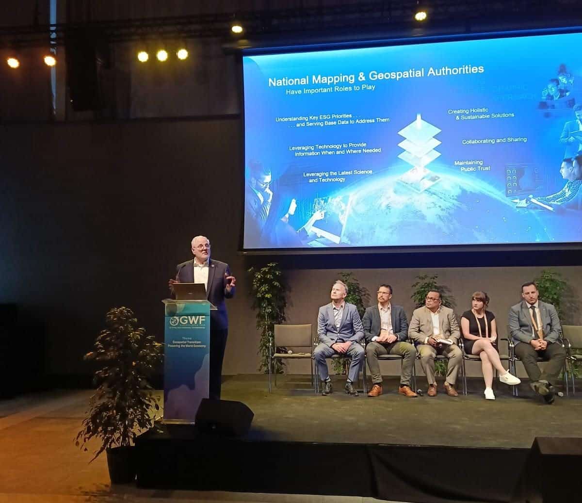
The 4IR technologies are upon us driven by various emerging and evolving technologies like AI, ML, IoT and Big Data. These technologies are revolutionizing the process of capturing managing and generating geospatial data. The question arises then, how does one collect, manage, produce and share the information that one can collect? How do we access these new data sources?
Mark Cygan, Director – National Mapping Solutions, Esri, USA commenced the second session at the National Mapping Summit highlighting the need to address these questions.
He talked about six architectural pillars and how they should be implemented into the design of these well-architected systems.
He said, “A well-architected Geospatial system contains six architectural pillars namely, Reliability, the ability to Integrate, Performance and Scalability of the system, Automation, Security and Observability of the system helping in monitoring the capability of the system.”
AI Infrastructure Solutions
With his keynote for the session, Jeroen Zanen, Founder & CEO, AI-Infrasolutions briefly touched upon his company AI-Infrasolutions which combines end-to-end large-scale mobile mapping & AI-driven Asset management. A complete solution is offered here to organisations and people for Infrastructure Asset Management by bringing together large-scale data acquisition and data enrichment with artificial intelligence.
Jeroen described the operation of his company in a fast nationwide capture of data saying, “We have a fleet of 15 cars, and with this fleet, we do nationwide data capture in the Netherlands on an annual basis. We can extract information from these datasets and make it work within 24 hours. It is that fast and immediate even being complex.
Challenges abound though with the complexity of the operation with some of them being huge investments and costs, data security and proper domain knowledge. Emerging technologies like AI, ML, and IoT play a big role here.
Jeroen describes Local IT Infrastructure as being very important in the larger picture. Automation of these solutions can save a lot of time, energy and green i.e. efficient process with minimal human intervention.
Chris Williams, Head of Digital Mapping, British Geological Survey adds to the above by stressing, how important trust is and how it is necessary to define, develop and maintain the tools and pipelines that underpin BGS geological mapping capability from capture, to compile and product development.”
Accelerated Data Collection for National Mapping
Accelerated data collection for National Mapping is a small but integral part of the larger geospatial ecosystem.
Vikrant Nashine, Global Delivery Head – GIS, Tech Mahindra extrapolated on how it is essential to have a well-established framework. Specifically talking about Field Data collection network, he said it requires three fundamental characteristics – Flexibility, Adaptability and Scalability. National Mapping Agencies are at the forefront of leveraging these 4IR technologies mainly to enhance their mapping operations and knowledge products.
Brenda Alejandra MUNOZ De Luna, Head of the Department of Geosystems
National Institute of Statistics and Geography (INEGI) emphasized the importance of Big Data and Machine learning by taking an example of the Open Data Cube Implementation in Mexico. She also talked about the need for updated and detailed geospatial data for vegetation and land use mapping.
Speaking about the need for updated and detailed geospatial data for vegetation and land use mapping, she said, “Leveraging specialised knowledge of vegetation (i.e. the people) and available satellite imagery and ancillary geospatial tools, even though in the experimental phase shows promising results.”
The session concluded with Jasmin Catic, Senior Expert, Spatial Data Infrastructure Geoportal, and Federal Administration for Geodetic and Real Property Affairs
Bosnia & Herzegovina emphasised capacity building, digitalization and high-quality datasets and moving forward- in a slow but albeit in a safe manner.


