The intersection of space technology and logistics is catalyzing a transformative revolution across various sectors. From railways to transportation and shipping, the integration of satellite-based monitoring, real-time tracking, and advanced communication systems is reshaping the landscape of efficiency, safety, and sustainability.
This fusion of technologies is enabling seamless operations, optimizing routes, and improving overall supply chain management.
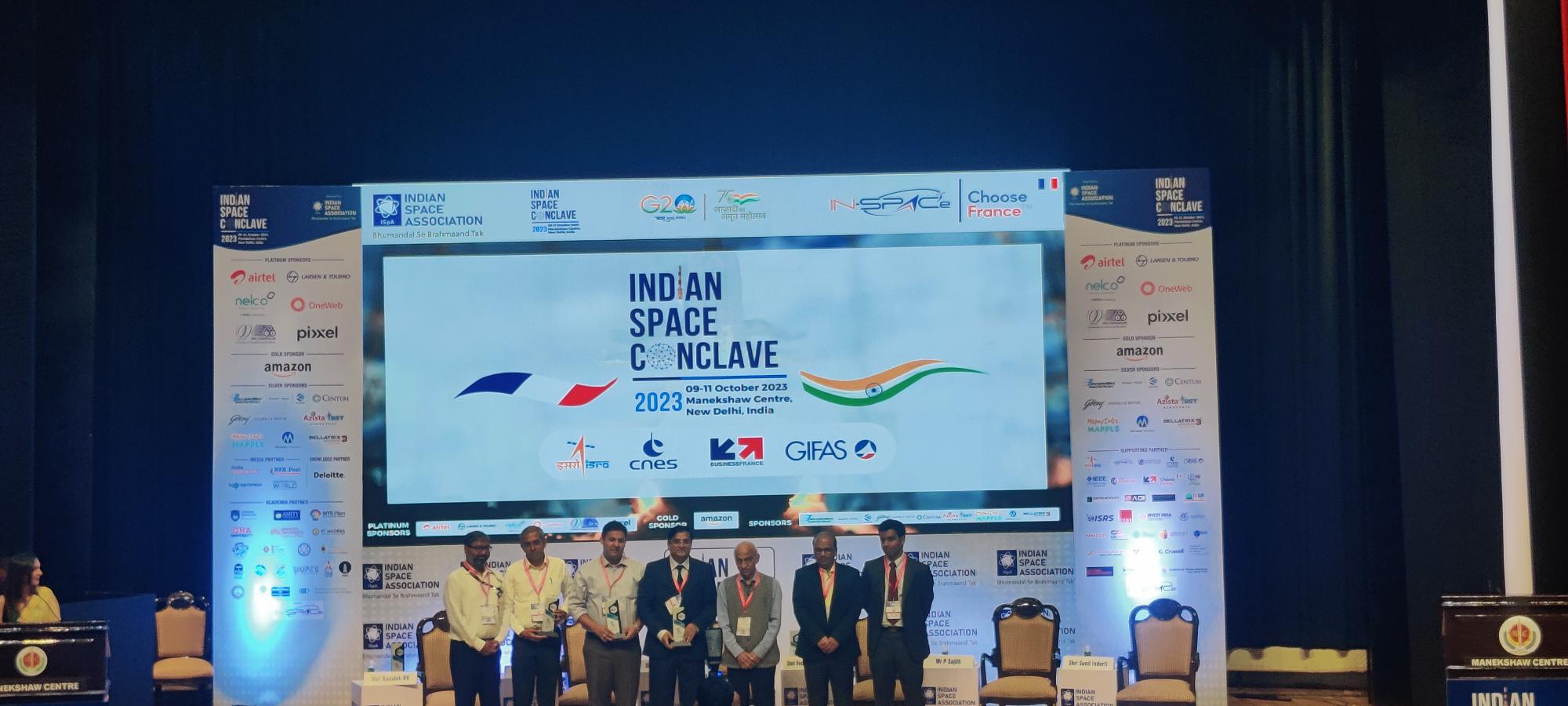
Kaushik RV, Deputy Director, IN-SPAce opened the session talking about how Fleet management in India is becoming increasingly sophisticated, with the use of space-based communication and terrestrial communication playing an increasingly important role.
He said,” Space-based communication offers a number of advantages for fleet management in India, including wide coverage across remote and rural areas. This is important for fleet management, as it allows businesses to track and manage their vehicles even when they are in areas with limited or no terrestrial communication coverage.”
Terrestrial communication also plays an important role in fleet management in India. Terrestrial communication systems can be used to provide real-time data on vehicle location, speed, and fuel consumption. This data can be used to optimize vehicle routing, reduce fuel costs, and improve fleet efficiency.
NavIC over GPS?
NavIC (Navigation with Indian Constellation), also known as the Indian Regional Navigation Satellite System (IRNSS), is an autonomous regional satellite navigation system developed and operated by the Indian Space Research Organization (ISRO). It provides accurate real-time positioning and timing services to users in India and the surrounding region, extending up to 1,500 km from its borders.
It currently consists of a constellation of eight satellites, three of which are in geostationary orbit and four of which are in inclined geosynchronous orbit. It provides two levels of service: a standard positioning service (SPS) for civilian use and a restricted service (RS) for authorized users (including the military).
NavIC offers a number of advantages over other global navigation satellite systems (GNSS) such as GPS and GLONASS. It is more accurate in the Indian region, and it is also more reliable, as it is not dependent on other countries for its operation.
#indianspaceconclave2023 Rohan Verma, CEO of @MapmyIndia talks about NaviC with its mapping, tracking, IOT and geospatial imagery helping @DelhiPolice with route planning during G20.@ISpA_India#geospatial #g20 #iot pic.twitter.com/QVA7Bcz5hi
— Geospatial World (@geoworldmedia) October 11, 2023
Rohan Verma, CEO, MapmyIndia said, “MapmyIndia was instrumental in helping the Delhi State Police plan the entire route for delegates travelling back and forth and by providing maps, tracking element, IoT and Geospatial Imagery.”
NavIC is still under development, but it is already being used in a number of applications, including Public vehicle tracking, Emergency warning alerts for fishermen, Tracking and monitoring of natural disasters, Precision agriculture, Surveying and mapping and Vehicle navigation.
The Indian government is also considering making NavIC mandatory for smartphones sold in the country. This would make NavIC more accessible to the general public and would help to promote its adoption.
NavIC offers a number of advantages over other global navigation satellite systems (GNSS) such as GPS and GLONASS. It is more accurate in the Indian region, and it is also more reliable, as it is not dependent on other countries for its operation.
Lt. Col. VS Velan, Founder & CTO, Elena Geo Systems highlighted this with an example. He said,” NavIC is using the latest & current technology unlike the GPS in the L1 band which is the oldest GPS signal. The L1 band is one of the civilian frequencies that GPS broadcasts on.
NavIC is an important milestone in India’s space program and it has the potential to revolutionize the way that people navigate and position themselves in the Indian region.
There is a need for Space Bound System Manufacturers. Sunil Indurti, Director, Azista-BST Aerospace talks about how their company has a unique production facility for small satellites that is making a huge difference in India. He said, “This is the first private-scale satellite production house in India and one of the first production lines for satellites anywhere in the world.
As space technology continues to develop, we can expect to see even more innovative and transformative applications of Space Enabled Logistics and mobility in the years to come.


