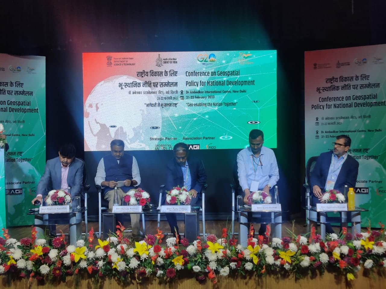
Day 2 of the “Geospatial Policy for National Development” conference organized by Department of Science and Technology, witnessed some in-depth discussions between government sectors and industry players. The discussions were on sustainable water management with geospatial technologies, roadmap to high-end geospatial research and development followed by the plenary on the way forward.
Water Management with Geospatial Technologies
Water is one of the important resource upon which the entire planet is dependent and to monitor it is crucial because unlike land, the water changes its course frequently and is consumed on regular basis. To monitor water at every level, geospatial technology is the only tool.
Professor A.K. Gosain, Department of Civil Engineering, IIT Delhi highlighted the fact that not just monitoring the resource is going to make it sustainable, rather demand also has be managed. To keep a check on sustainability of water resources, dynamism of resources are to be monitored.
Being an agriculture dependent nation, farmers are the primary users of water followed by other users from other sectors. Prof. Gosain stressed on the matter that before implementing any changes in the system or implementing any new initiatives towards monitoring and regulating the water consumption, the grassroots level people should be educated and made aware of the ground water depletion.
Awareness amongst the common user can be created only when the data is made available for them to see, and incentives can be initiated to encourage them to take care of the water. The speakers collectively praised the National Geospatial Policy 2022 because it allows the data to be made open for all.
Adding to the discussion, Dr. Abhay Kimmatkar, Ceinsys Tech Limited said that monitoring of the quality water resources with the geospatial technology can help in optimising the usage as well as help in controlling the depletion.
ALSO READ: India on the Cusp of Geospatial Revolution: Jitendra Singh
Geospatial Research and Development
Union Minister Dr. Jitendra Singh had said that India’s geospatial economy is expected to cross ₹63,000 crore by 2025, growing at a rate of 12.8%, and will provide employment to more than 10 lakh people mainly through geospatial startups.
Yet, geospatial technology is still a very new subject for everyone, apart from the industry players and government departments, the academia and common people are still struggling to understand the subject. “To bring the topic to everyone’s understanding, schools and university students must be made future ready to meet the industry demands of the future,” said Dr. Debpriya Dutta, Scientist-G, DST.
Dr. Manabendra Saharia, IIT Delhi said that geospatial analytics and deep learning is the future of geospatial industry in India. “We are collecting a lot of geospatial data in the ground but unless we make them interoperable, we won’t be able to utilize it fully,” he said.
He said that in the broader sense, many Indian companies still rely on foreign companies for the quality of data, “if we can produce high quality data and integrate them in HPC technologies, then soon we do not have to rely on foreign companies, only we will be able to become Atmanirbhar Bharat. The NGP is a huge step in that direction.”
Rakshit Bhatt, VP, PD, GalaxEye Space highlighted the areas of concern of the industry. He said:
1. We need right quality of data to develop solutions and to provide analytics-based data.
2. We need infrastructure to unite different sets of skilled people like the AI/ML developers, who produce data with those who understand the physics and methods of collecting data. Unless there is an infrastructure, the data will not be utilized properly.
3. Relationship between academia and industries by sharing resources, can bridge the skill gap. They should be made a part of research and development and get them involved in long term projects. Unless the students understand the industry needs, how will they prepare themselves for the future opportunities?
ALSO READ: Geospatial Policy enabling National Development
Lastly at the plenary on way forward, Sanjay Kumar, CEO & Founder, Geospatial World said that the way forward is to invest in developing geospatial infrastructure through data, strategy and positioning through a proper regulatory mechanism. Government departments like Survey of India, Department of Land Resource, Department of Science and Technology need to play a crucial role in providing leadership and help in hand holding to other sectors and industries.