
In an era where sustainability has become a pressing global concern, the utilization of space technology especially Satellites has emerged as a powerful ally in the pursuit of achieving the Sustainable Development Goals (SDGs). With their vantage point from above, satellites have proven to be invaluable tools, capable of monitoring and mitigating climate change, supporting sustainable urban planning, identifying areas ripe for renewable energy, preserving biodiversity, and bridging the educational divide in underserved communities.
Satellites Emerging as an Accelerated Solution to Sustainability
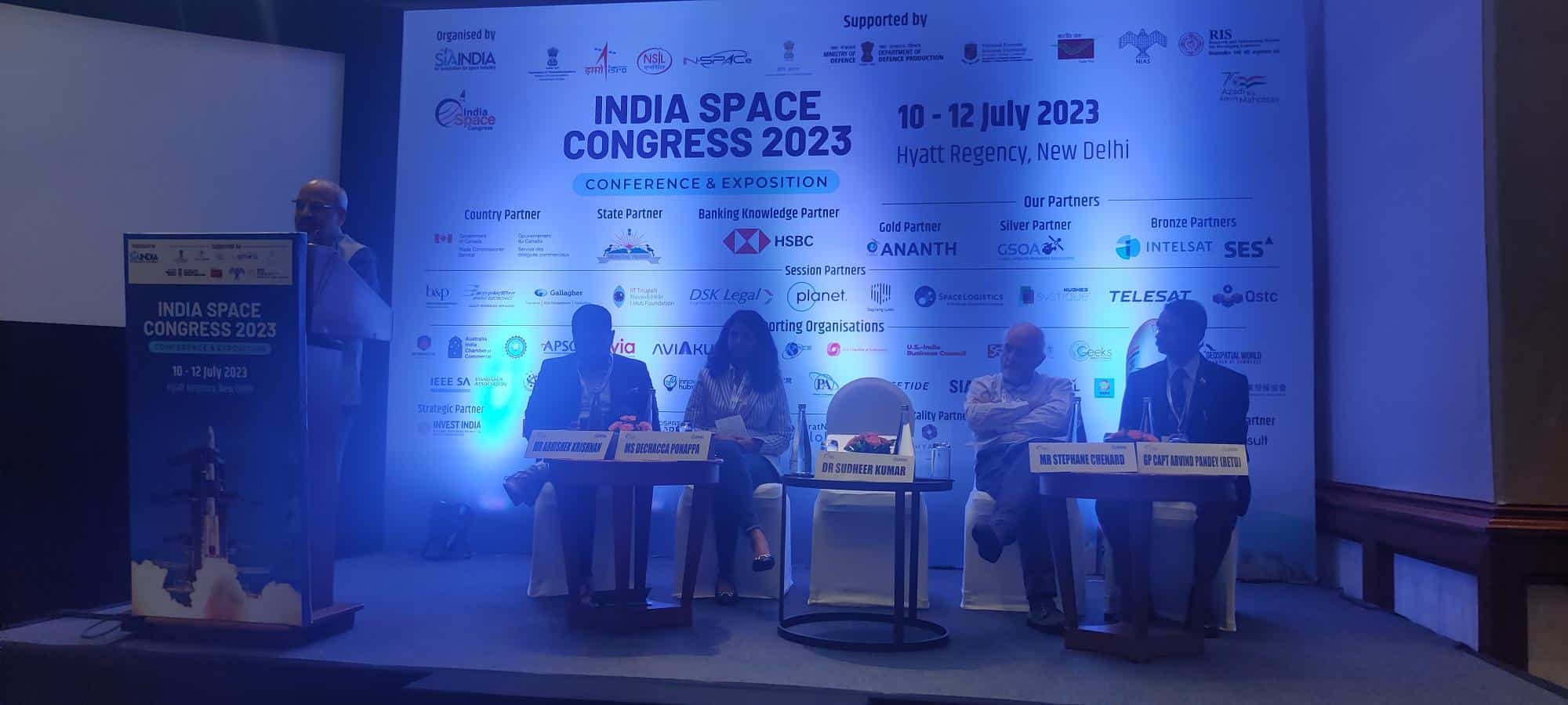
Dr Sudheer Kumar, Director, CBPO, ISRO moderated the session at the India Space Congress 2023 and talked about Forestry, Management, and Urban/Rural Development fields and how they can be Revenue Generation models but are rather confined to the Government and not the private players. He emphasized that Satellite Applications especially in the above areas play a big role in Sustainable Development Goals.
Climate change, undoubtedly one of the greatest challenges of our time, demands urgent action. Satellites have revolutionized our ability to observe and understand the complex dynamics of our planet’s climate system. These technological marvels provide scientists and policymakers with critical data, enabling them to monitor atmospheric conditions, track deforestation, measure sea-level rise, and assess the health of ecosystems. Armed with this information, stakeholders can develop informed strategies to mitigate the impacts of climate change and strive for a sustainable future.
Stephane Chenard, Senior Associate Consultant, Euroconsult brings about the pertinent issue of Carbon Credits and Carbon Trading, which is the buying and selling of credits that permit a company or other entity to emit a certain amount of carbon dioxide. The value of the carbon is based on the ability of the country to store it or to prevent it from being released into the atmosphere.
He talked about four different issues which could be greatly reduced or solved with the help of Satellite data.
Illegal & unregulated fishing is one of them. Illegal fishing activities are a major threat to the world’s marine ecosystems, and satellite technology is helping to combat this problem. Satellite technology has become an invaluable tool in the fight against illegal fishing activities. By using satellite images, researchers can identify and monitor areas of illegal fishing activity. This data can then be used to inform enforcement efforts and to help protect marine ecosystems.
Security threats especially in Africa, where Ivory trade and drug trade, and human trafficking is rampant can be monitored using the help of Satellites.
Another issue is Methane Detection. Methane is a powerful greenhouse gas, contributing to at least a quarter of today’s climate warming. A sustainable development goal is to cut down methane emissions at least 30% by 2030, which is the goal of the Global Methane Pledge to keep the 1.5°C temperature limit within reach.
Efforts to tackle slow climate change by tackling methane using satellite-based systems to detect emissions of the climate warming gas. This allows governments and businesses to respond efficiently and much more speedily. That also ties in with the last issue of Meat Traceability specifically in a country like Brazil, the world’s largest exporter of beef (23% of global exports) and its second-largest producer. This makes them have the most sustainable cattle herds in the world.
Geospatial Solutions
Gp. Captain Arvind Pandey (Retd.), Senior Fellow, Geospatial Intelligence in Military Operations, Centre for Air Power Studies (CAPS) talked about Sustainable Development Goals in Earth Observation. Geospatial solutions are important and include Remote Sensing in the Electromagnetic Spectrum. He spoke about how SAR is used as a SDG solution.
Synthetic Aperture Radar is a type of active data collection where a sensor produces its own energy and then records the amount of that energy reflected back after interacting with the Earth. SAR data require a different way of thinking in that the signal is instead responsive to surface characteristics like structure and moisture.
SAR is utilized in soil sustenance and soil moisture. This helps with knowledge of preventing hindrances like Landslides. He quotes on how Geospatial Arenas gives a platform using Imagery Data and how Hyperspectral Load in Space can be used for structural detection and mineral extraction like lithium. India as a country was a lithium exporter but with the discovery of Lithium Deposits of $410 billion, it becomes very necessary for Geospatial Solutions like SAR.
As we continue to grapple with the challenges of sustainable development, it is evident that space technology has the potential to be a game-changer. Satellites provide us with a bird’s eye view of our planet, offering a unique perspective and a wealth of data that can inform and guide our efforts toward a sustainable future. By leveraging this technology to monitor climate change, support sustainable urban planning, identify renewable energy sources, protect biodiversity, and provide education to marginalized communities, we can take significant strides toward achieving the SDGs.


