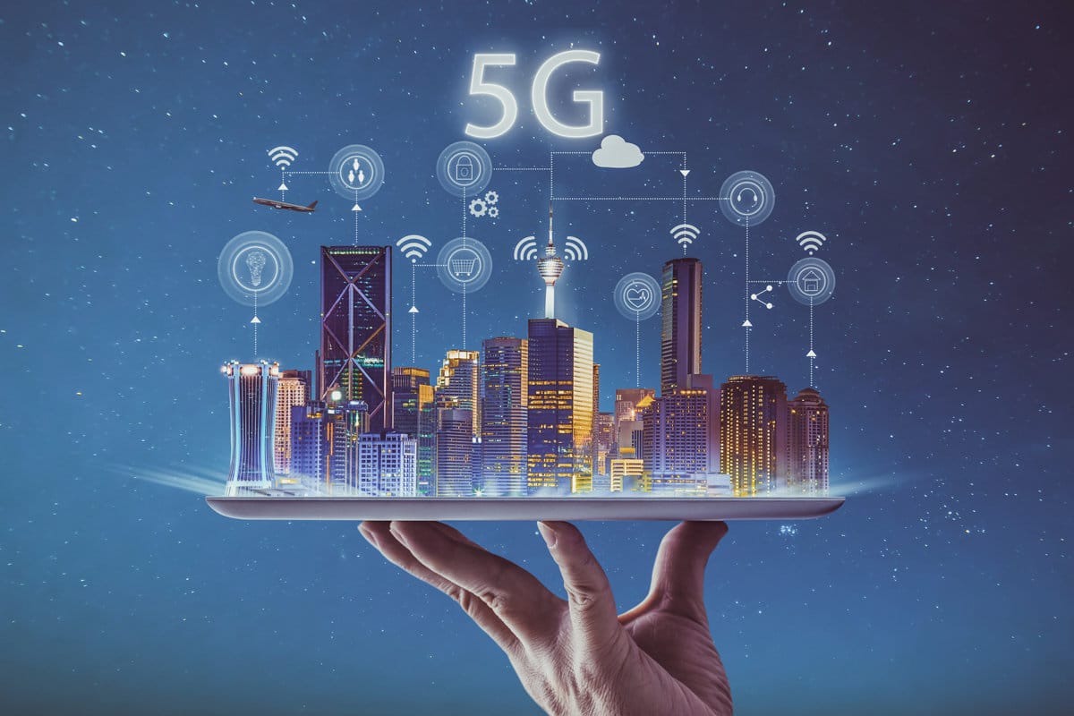
With a profound readiness to change its developmental landscape, India is at the forefront of a massive technological revolution. Geospatial and 5G technology development point to a critical turning point in India’s transformational journey. A new era of efficiency and connectivity is beginning with the incredible speeds of 5G technology and the spatial intelligence of geospatial technology.
For many businesses, real-time data transfer is a dream come true as a result of the convergence of these two technologies, which promises transformation across various industries. Immediate information exchange and collaboration are made possible by the improved connectivity, which removes geographical barriers.
Furthermore, new paths for innovation and optimization are opened up by the combination of 5G and geospatial technologies, opening the door to resource management that is efficient and resilient as well as healthier cities.
India sets out to create a future that is connected, efficient, and full of possibilities, with the adoption of this new technology. Let us now analyze the impact of 5G and geospatial technologies across various application areas.
Analyzing the Impact of 5G and Geospatial Technologies across Application Areas
Geospatial Mapping
Several terabytes of data can be collected every day for geospatial mapping projects that use both mobile and aerial mapping modes. Transporting hard drives between data centres and the field comes at a significant logistical cost.
Furthermore, it is common for the turnaround time to be extended from data collection to data ingestion and go-live status. Real-time data upload to the cloud made possible by 5G deployment has the potential to completely transform this procedure, saving a great deal of money and time.
Real-time map data accessibility is also required for several use cases, both for individuals and businesses. We are quickly approaching the time when satellite data will match acquired data in terms of accuracy and resolution. A live broadcast-like experience for end users will be made possible by 5G technologies, which will enable real-time viewing of processed satellite data. The expediency and usefulness of geospatial data will be improved for a variety of uses thanks to this development.
Transportation Sector
Enabling accurate vehicle tracking, 5G-powered geospatial systems transform the transportation industry. In addition to improving operational effectiveness and safety, fleet managers can make proactive decisions by using real-time location, speed, and route monitoring.
To improve emergency response times, a large hospital chain in India, for example, introduced a 5G-powered ambulance network in 2023. Examples from outside the country include South Korea employing 5G-enabled geospatial systems to track emergency response vehicles and a few companies in China overseeing drone fleet deliveries.
Smart taxi systems used in Dubai and shipping companies in Norway both profit from these technologies. A few examples of how 5G-enabled geospatial systems to have been successfully integrated to improve transportation management are the Shinkansen network in Japan, logistics companies in Germany, and emergency medical services in London.
Environmental Monitoring
For environmental monitoring, continuous data collection and analysis through remote sensors is a necessity. The monitoring will be effective if the data speeds are high. These data speeds are achieved by 5G technologies, and the real-time monitoring and analysis are aided by geospatial technologies. The environmental changes are detected early by this approach paving the way for decision-makers to mitigate risks and in turn protect the ecosystems.
In Japan, earthquakes are detected using 5G-enabled seismometers, and some Indian farmers assess soil with sensors connected to 5G. The researchers in Greenland leverage 5G and geospatial technologies for monitoring glaciers, while in Kenya, they use it for monitoring wildlife behaviour.
In the UK, coastal erosion is detected by a combination of 5G and geospatial technologies. In addition, nations like Singapore, the Netherlands, the USA, China, and Australia leverage these technologies extensively for air quality monitoring, water level management and also urban heat monitoring.
Smart City Infrastructure
The development of smart city infrastructure requires the integration of 5G and geospatial technologies. Effective management of traffic flow, weather patterns analysis, and air quality monitoring are made possible by real-time monitoring by authorities. Urban dwellers’ quality of life is raised by this integration, which improves resource allocation and decision-making.
Smart parking meters in San Francisco, waste management in Seoul, smart water management in Amsterdam, and a 5G-connected surveillance system in Dubai are a few notable implementations. These technologies are also used in Barcelona for smart lighting, Los Angeles for air quality monitoring, and Singapore for weather analysis. These illustrations demonstrate how geospatial and 5G technologies are revolutionizing urban planning.
Deployment of IoT Devices
With 5G networks, resource optimization and critical infrastructure monitoring are made possible, contributing to the proliferation of IoT devices. Proactive maintenance across multiple sectors is made possible by these devices, which also improve operational efficiency.
Grid monitoring my large Utilities in the USA, the track sensors used by German railways, Barcelona’s 5G-connected smart water meters, and other examples highlight the variety of uses for IoT devices. To further demonstrate how 5G technology can increase efficiency and safety, the Himalayan region of India uses 5G-enabled geospatial sensors for landslide monitoring.
Disaster Management
In an emergency, 5G-enabled geospatial solutions are crucial because they can send out timely alerts and enable quick actions to reduce casualties and damage. Countries such as South Korea, Japan, the USA, Italy, and others use these technologies to identify wildfires, track hurricanes, forecast floods, and provide Tsunami warnings. Organization of response efforts and mitigation of disaster effects depend heavily on the speed and efficiency of data transmission.
Digitization of Land Records
5G and geospatial technologies are essential for maintaining accurate land records, which are essential for governance. 5G guarantees timely and precise land record updates by enabling real-time data transfer and analysis. Land management processes are made more transparent and efficient by the use of 5G in initiatives like the Jharbhoomi project in Jharkhand, the MahaLabharthi portal in Maharashtra, the Dharani portal in Telangana, the Swamitva scheme, and the Bhoomi project in Karnataka.
Development of Digital Infrastructures and Skills
India has to invest in building digital infrastructure and digital skills to leverage the full potential of 5G and geospatial technologies. One of the initiatives is the Pradhan Mantri Gramin Digital Saksharta Abhiyan, which is a program that was set up to improve digital literacy for the people. Other initiatives include courses from a few IITs on 5G technology.
Ensuring the Continued Success of 5G and Geospatial Technologies
By combining 5G and geospatial technologies, India’s development can be put on a fast lane like never before. Real-time data transfer is the key outcome of this convergence of technologies through which several smart city initiatives start giving results. It is critical for efficient disaster management, leveraging IoT data.
Leveraging 5G and geospatial technologies will help in viewing and utilizing satellite data in real-time making it useful for many applications. At the same time, uploading mapping data at runtime to the cloud will become a reality. Turnaround time from field to cloud will be reduced considerably. India has to adopt and leverage this technology convergence in all possible domains to boost its development.