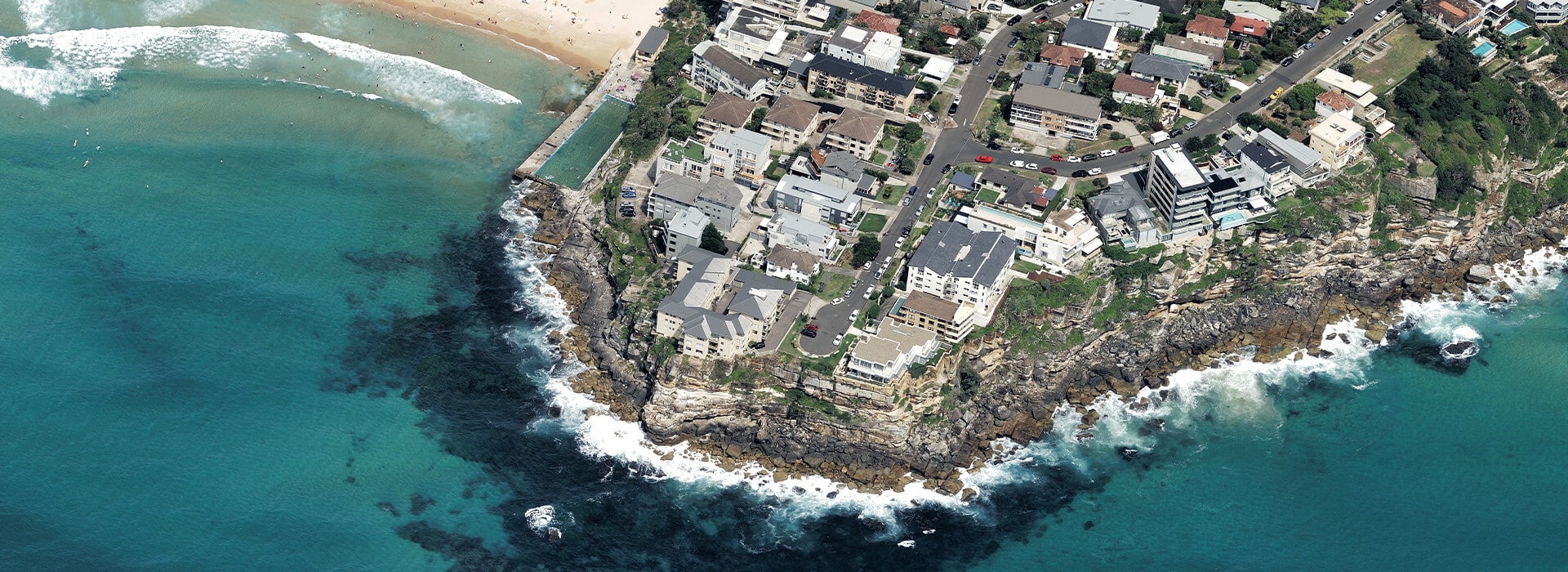
Vexcel Data Program announced free access to aerial imagery in Australia and New Zealand through its web-based platform, Viewer. This no-cost access provides government and commercial users with highly accurate, high-resolution imagery of major metro areas such as Sydney, Melbourne, Brisbane, Perth, Auckland, Wellington, and Christchurch. Organizations in Australia and New Zealand are eligible to participate in this free offering.
Providing aerial data to end users in Australia and New Zealand at zero cost improves a user’s ability to solve some of the most pressing problems of today with enhanced visualization and analysis tools. This foundational experience with Vexcel imagery helps drive more accurate and informed decision-making, such as remote inspection of assets, monitoring change at a location, detecting surface details, and so much more. The readily accessible data is available immediately and supports multiple industries, from government to construction, landscaping to solar, roofing to utilities and beyond.
Vexcel collects high-resolution aerial imagery across urban areas in Australia and New Zealand on a regular basis, covering 80% of the population in Australia and 56% of the population in New Zealand. Multiple imagery products, including current and historical collections, are available within Vexcel’s Viewer platform, such as:
- Oblique: a 45-degree imagery product, helping users see properties from all angles (north, south, east, west) at 7.5cm resolution
- TrueOrtho: a top-down view of structures and properties without building lean and no visible seamlines at 7.5cm resolution
- Multispectral: a near-infrared product delivered in color-infrared, highlighting vegetation and impervious surfaces at 7.5cm resolution
In addition, end users will have access to multiple tools found within Viewer, giving them greater ability to gain valuable information beyond visualisation. Some of these tools include:
- Measurement and drawing tools: find the area or length of a specific building or property
- Compass tool: switch between all views at a particular location with the ease of a button
- Before and after slider: easily detect change on a property
- Import: bring your CSV files and geospatial data into Viewer to overlay important map information
- And more!
Vexcel captures its aerial imagery with UltraCam sensors, manufactured by Vexcel Imaging, which are radiometrically and geometrically calibrated to collect the highest quality aerial imagery in the market.