GW CONSULTING
GW EVENTS
GW MEDIA
ABOUT US
Search
Login
Logout
My Profile
Subscribe/Trial
Prime Stories
Special Features
Technology & Innovation
Business & Industry Trends
India
Interview
Opinion
Case Study
AEC
Business Intelligence
National Mapping
Sustainable Development
Agriculture
Defense & Security
Video
Podcast
Prime Stories
Special Features
Technology & Innovation
Business & Industry Trends
India
Interview
Opinion
Case Study
AEC
Business Intelligence
National Mapping
Sustainable Development
Agriculture
Defense & Security
Video
Podcast
GIS
GNSS
EOS
LiDAR
Location & BI
AEC
Autonomous
Sustainable Development
More
News
Articles
Blogs
Hall of Fame
Videos
Events
Newsletter
GIS
GNSS
EOS
LiDAR
Location & BI
AEC
Autonomous
Sustainable Development
More
News
Articles
Blogs
Hall of Fame
Videos
Events
Newsletter
Home
Natural Hazard Management
Page 2
Latest
Latest
Featured posts
Most popular
7 days popular
By review score
Random
Natural Hazard Management
Esri becomes Ambassador of NOAA and Weather-Ready Nation
News Desk
-
09/29/2016
Kass Circle CRA seeks grant for mapping of stormwater infrastructure
News Desk
-
07/18/2016
PAF’s UAV crashes in area near Pakistan Punjab
News Desk
-
06/21/2016
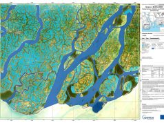
Sentinel-1A captures Bangladesh’s flood lands
News Desk
-
05/27/2016
Wyoming County Health Department maps city’s main lines
News Desk
-
05/23/2016
NASA begins satellite project to improve hurricane forecasting
Geospatial World
-
08/24/2015
Global EO satellite to be named after Abdul Kalam
Geospatial World
-
08/24/2015
3D volcano maps to prepare for risks
Geospatial World
-
08/19/2015
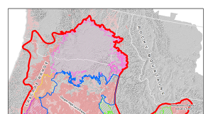
Oregon gets real-time earthquake map
Geospatial World
-
08/19/2015
India taps GIS for flood forecasts
Geospatial World
-
08/18/2015
Australia to monitor bushfires in real-time
Geospatial World
-
08/18/2015
JNU, NIDM to set up Centre for Excellence in Disaster Research
Geospatial World
-
08/11/2015
USGS grants $4 million for earthquake warning system
Geospatial World
-
08/07/2015
Geothermal energy study underway in Oregon
Geospatial World
-
08/06/2015
EFFIS combats forest fires in Greece
Geospatial World
-
08/05/2015
China to launch self-developed remote sensing satellite in October
Geospatial World
-
08/05/2015
Intermap’s InsitePro software licensed in Latin American countries
Geospatial World
-
08/04/2015
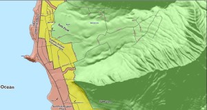
Honolulu unveils extreme Tsunami evacuation zone
Geospatial World
-
07/24/2015
AccUcast to provide exclusive crowd-sourced weather feature
Geospatial World
-
07/23/2015
Malaysia to use RADARSAT-2 data
Geospatial World
-
07/21/2015
Malawi to get national hazards atlas
Geospatial World
-
07/20/2015
Geospatial tech to protect world heritage sites
Geospatial World
-
07/20/2015
Mapping application lets emergency responders see scenes virtually
Geospatial World
-
07/16/2015
3D mapping of Puducherry to help in evacuation during disasters
Geospatial World
-
07/07/2015
Bluesky Mapshop releases British Geological Survey data
Geospatial World
-
07/01/2015
Satellites to monitor rivers of Punjab
Geospatial World
-
06/29/2015
IAG Australia releases global natural disaster risk management tool
Geospatial World
-
06/26/2015
Load more