GW CONSULTING
GW EVENTS
GW MEDIA
ABOUT US
Search
Login
Logout
My Profile
Subscribe/Trial
Prime Stories
Special Features
Technology & Innovation
Business & Industry Trends
India
Interview
Opinion
Case Study
AEC
Business Intelligence
National Mapping
Sustainable Development
Agriculture
Defense & Security
Video
Podcast
Prime Stories
Special Features
Technology & Innovation
Business & Industry Trends
India
Interview
Opinion
Case Study
AEC
Business Intelligence
National Mapping
Sustainable Development
Agriculture
Defense & Security
Video
Podcast
GIS
GNSS
EOS
LiDAR
Location & BI
AEC
Autonomous
Sustainable Development
More
News
Articles
Blogs
Hall of Fame
Videos
Events
Newsletter
GIS
GNSS
EOS
LiDAR
Location & BI
AEC
Autonomous
Sustainable Development
More
News
Articles
Blogs
Hall of Fame
Videos
Events
Newsletter
Home
Forestry
Random
Latest
Featured posts
Most popular
7 days popular
By review score
Random
Forestry
UK Space Agency offers £2 million funding for satellite technology sectors
News Desk
-
09/14/2016
Dubai’s indigenous trees get GPS monitors
Geospatial World
-
03/04/2014
IISc Bangalore to protect Indian giant squirrel
Geospatial World
-
11/01/2010
ArbAdvice uses Bluesky photomaps for managing trees on the UK Island
News Desk
-
07/14/2016
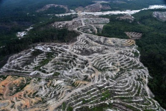
Malaysia launches aerial forest monitoring project
Geospatial World
-
11/20/2012
Kenya using GPS to prevent elephant poaching
Geospatial World
-
03/17/2011
Soy farming destroying Amazon rainforest
Geospatial World
-
04/20/2010
Satellite data shows draught over Amazon basin
Geospatial World
-
03/30/2011
Satellite imagery reveals decline in deforestation in Brazil
Geospatial World
-
11/30/2012
Alarming forest loss in North America
Geospatial World
-
04/27/2010
Sri Lanka benefits from South-South knowledge exchange on forest monitoring systems...
Geospatial World
-
02/03/2015
Google Earth to protect Asia’s largest saal reserve
Geospatial World
-
05/22/2013
Plant Power from above
Geospatial World
-
02/09/2015
Liberian forest dwellers map illegal logging
Geospatial World
-
10/11/2011
Qatar foundation helps in monitoring mangroves
Geospatial World
-
11/05/2012
FAO releases an update to ‘global remote sensing survey of forests’
Geospatial World
-
03/21/2014
Satellite data shows Florida mangrove forests are expanding
Geospatial World
-
01/03/2014
Remapping initiative reveals increase in forest cover in Philippines
Geospatial World
-
12/23/2013
3D laser mapping scanner helps UCL scientists map trees
Geospatial World
-
12/26/2014
Researchers use satellite data to develop forest mortality map
Geospatial World
-
01/30/2013
Ondo government to spend N100 million for forest reserves monitoring
Geospatial World
-
03/25/2014
Pix4D develops methodology to leverage multispectral images in 3D point cloud
News Desk
-
12/07/2016
Company fined for illegal land clearing
Geospatial World
-
06/28/2010
Russian forestry agency to set up GIS
Geospatial World
-
07/18/2011
Google Street View Amazon receives 2nd phase of beautiful images captured...
Geospatial World
-
03/09/2015
GIS technology used to identify reforestation sites
Geospatial World
-
11/28/2012
Esri launches national green infrastructure initiative for planning
News Desk
-
06/29/2016
1
2
3
...
7
Page 1 of 7