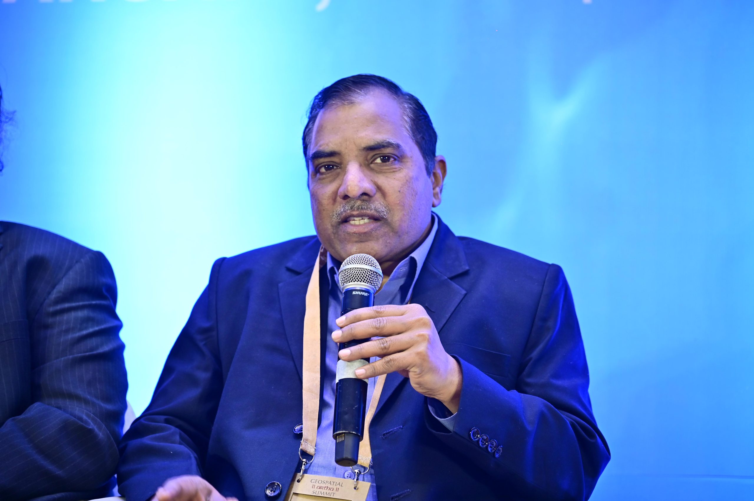
In an interview with Geospatial World, Milind Wadodkar, Chief Soil Survey Officer, Soil & Land Use Survey of India, speaks about the role of geospatial data and technology that is equipping farmers with knowledge about their crops, farmland, and soil, and how they can take the benefits of government schemes.
He speaks in detail about the different schemes and portals that are being developed under the Ministry of Agriculture to help the Indian farmers know about their farm land and suitability of crops that can be grown there.
Soil & Land Use Survey of India falls under the Ministry of Agriculture, Government of India. Functioning for over 65 years, known as one of the oldest and the biggest Soil Survey Institute in the country, Soil & Land Use Survey of India, has done work related to soil survey, watershed mapping.
Wadodkar says, “One of the major milestones the organization has achieved is the watershed Atlas of India, Microwatershed Atlas, which is being used at every level for all the watershed programs in the country. We have also completed the soil mapping of the country on 1:50,000 scale, which will be helpful for all the developmental activities in the country. Apart from that, for the village level development, they have done soil mapping on 1:10,000 scale that is called a detailed soil survey mapping.”
He says, “Currently, we are working on Soil Health Card Scheme or Rashtriya Mruda Manachitra Yojana, under that we’ll be covering the entire agricultural area of the country. We have around 142 million hectares of agricultural area in the country. And the ministry aims, ministry of Agriculture is aiming that we have to cover the entire agriculture area under the detailed soil survey. So far, about 25 million hectares of the area has been mapped. It will be very useful for the rural development and farmers at large because this soil database will be used for crop planning, soil and water conservation measures.”
The database of the geospatial data will be used for another important flagship program of the country, National One Soil Unified Information System. Under that, all the soil related information will be put on one platform digitally and that will be made available and accessible to all the stakeholders from the decision makers, policy makers, the startups or many other researchers, administrators for further analysis of data using AI/ML.
“The Ministry of Agriculture, Government of India is planning for a mega project in agriculture that is Krishi DSS, which will be complete game changer for farmers and Indian agriculture. Krishi DSS will equip our farmers with all the information they need about their farm lands through mobile phones,” adds Wadodkar.
The complete backbone of the Krishi DSS is on the geospatial technology, where we will be using the high-end satellite data, different legacy data which has been generated over the years by different organizations and will be put in one place. Using of AI/ML techniques, the decision support system (DSS) will be developed.
Information related to farm registry, crop registry, soil maps, crop insurance, crop loans, and other important beneficial programs run by the government, will be available on the portal and that portal will be one window activity. This will also be a part of another important digital public infrastructure (DPI) of our country like the Adhaar and Digi Locker.


