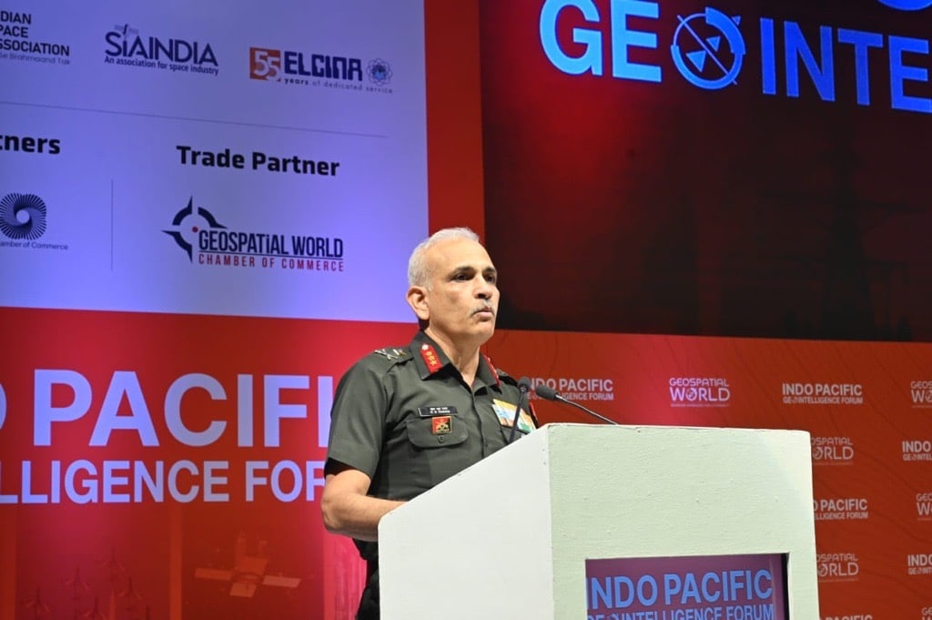
At the 14th edition of Indo Pacific Geo Intelligence Forum, Lt. Gen RS Raman, Director General Military Intelligence, Indian Army, shared his views on the criticality of maps and geospatial information for defense and internal security.
“Geospatial is an ecosystem, and not a technology, which is evolving in perpetuity. Tethering maps with geospatial information energizes maps,” he states.
In the era of dual-use technologies, private sector participation, and research & development enabling innovations all across, he spoke about the correlation and convergence of parameters and indices in civilian as well as military applications.
“In the internal security scenario, details on demographic and social development indices have a direct correlation with civilian applications.”
“The state and non-state actors both use drones. There’s a need of Virtual Reality (VR) models and not just digital elevation models for better decision-making.”
Like Steve Jobs said in another context, get so close to the customer that you realize what he wants.’
“With the geospatial realm, the possibilities are limitless to visualize the future and anticipate the changes that arise,” he stresses.
Digital Twins & AI
Explaining the benefits of digital replica in defence, Vishal Anand, COO, Mappls India explained “Digital Twin can improve situational awareness, help in mission planning and analysis, and enable better training and simulation.” He further stated that without AI today, you cannot think of creating any dataset.
Dr Aniruddha Roy, CTO, Genesys International Corporation Ltd stated “Accurate foundational 3D datasets and DTM and DSM are essential for Battlefield Simulation and training.On top of these foundational datasets, AI and ML practices and predictive models work efficiently”.
Digital Twin is the physical representation of our physical environment. It combines GIS data, airborne imagery, 3D models, and other geospatial information to create an accurate simulation of the real-world infrastructure.
“The combination of advanced AI with strategic insights enables agile response and boosts defense capabilities,” said Saurabh Rai, CEO, Arahas.
“Indian government’s commitment to invest $8-10 billion in geospatial development over the next five years (excluding defense) underscores its importance. To achieve this, collaboration is crucial for capacity and technology development,” states Sanjay Kumar, CEO, Geospatial World.