The multi-functional salience of geospatial infra in boosting the utility of space applications would only increase with time.
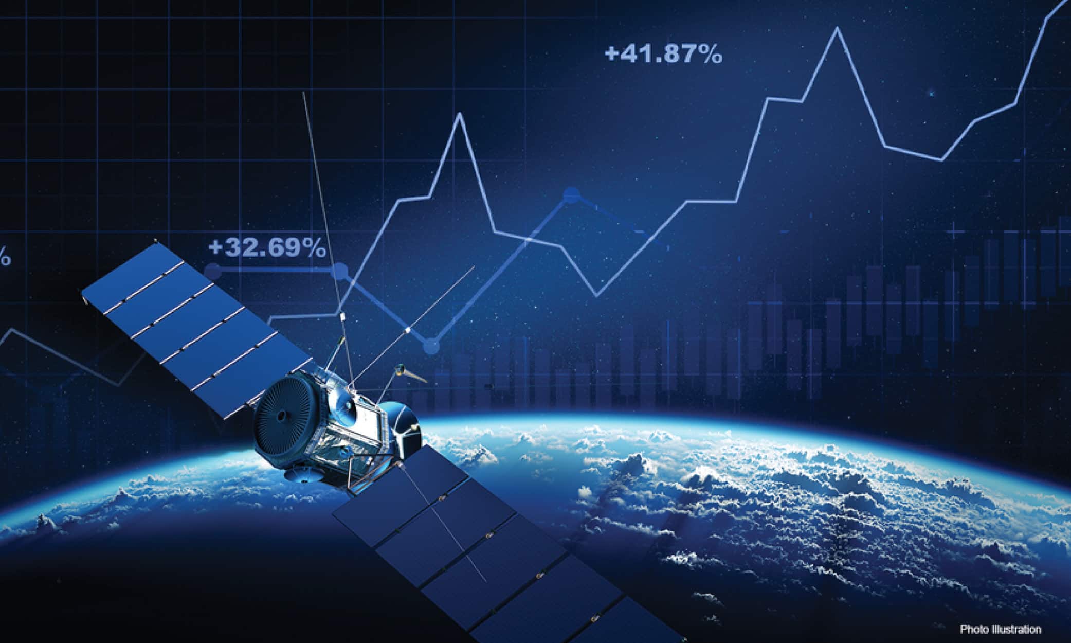
As per market estimates, the global geospatial industry will cross the trillion-dollar mark by 2030. There are various factors propelling robust growth in this sector, including increased demand for high-resolution satellite imagery, precise analytics, actionable insights, HD mapping, and data visualizations.
The ubiquity of geospatial applications and monitoring has increased by leaps and bounds over the years, owing also to the transformative nature inherent to the geospatial sector.
From a niche domain, it today encompasses generalists as well as specialists. Be it the location intelligence economy or new business models that are tailored to provide solutions and not just data, the sector has evolved with times, incorporating cutting-edge technological advances from AI/ ML to IoT.
For decision-makers and problem-solvers, at all levels, there’s no alternative really to spatial data.

Geo Cutting Edge
“GIS brings together all the data needed for rational, equitable  decisions. Data such as infrastructure, location, and condition can be combined with dynamic usage information”, says Jack Dangermond, Founder and President, Esri.
He believes that the geospatial sector is at the cusp of a revolution, powered by the end-users and spurt in the ingestion of spatial data for ‘enterprise-class data intelligence platforms and workflow simplification tools.’
“Interconnected workflows, accessible data sources, and analytics built to leverage continuously changing data about our  planet are empowering governments and companies to make more informed decisions than ever before”, says Mack Koepke, Vice President – Global Sales, Capella Space.
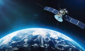
Most of the satellites placed in the Low-Earth orbit are for obtaining high-resolution imagery and analytics, used for a wide range of purposes from change detection, to enabling telecommunications in far-flung regions.
The scope is truly manifold, from precision agriculture to tracking pollution, and strengthening maritime security to curtailing global warming. Space is the most reliable source of info for what is happening on the earth, and where.
Koepke believes that from tracking shipping logistics to forecasting demand for manufacturing, and mitigating the impacts of a changing climate, the dependence on space-borne datasets is growing fast, far outstripping the capability of legacy space constellations.
This demand-supply skew has to be fixed to reap the maximum benefits as well as spearhead innovation. Fresh realization has dawned about the fusion of various sensor types and newer combinations in place to obtain the most precise details.
“The fusion of these datasets with traditional systems like Electro Optical enable unique use cases not previously seen. Commercial and government stakeholders are starting to understand the power of leveraging these datasets for a more consistent view of what is happening on the ground”.
“Industry and public sector bodies are working hard to fuse sensor data with geospatial data, using cutting-edge data techniques like AI and Machine Learning to help handle the volume of insights”, says David Henderson, Chief Geospatial Officer, Ordnance Survey.
“Proliferation of sensors is creating an incredibly dense and powerful landscape of data. It’s often hard to know which data is fit for purpose, where to find it, and how far you can trust it. At the same time, imagery and sensor data from satellites is becoming more widely available as the cost of building and launching satellites comes down”, adds Henderson.
New Applications
 As per Alexander McDonald, NASA Chief Economist, telecommunications and Earth Observation are the two sectors witnessing the highest growth in the space economy.
Though, alongside the space economy and the crucial role of geospatial in it, what tends to get overlooked often is the role of geospatial infrastructure in enabling space commerce.
Loosely defined as the end-to-end system of spatial networks involving advanced sensors, upstream & downstream applications, data transmission links, ground stations, servers, and the end products, the role of geospatial infra is crucial.
Henderson calls geospatial infrastructure ‘an authoritative foundational layer of data’ that’s crucial to get the right answers.
“Geospatial organizations have the know-how and the existing data infrastructure needed to make the most of the unique value that space technology offers from increased currency or different sensor types”, he adds.
Easy-to-access proliferation of data such as synthetic aperture radar (SAR) and radio frequency (RF) signals are indeed game-changers in many ways.
“In terms of upstream, I think we are seeing a much wider  variety of sensors in orbit: optical, SAR, hyperspectral, infrared, and radiofrequency. This increases the type of data that can be delivered to customers”, says Dr. Maureen Haverty, Principal, Seraphim Space.
Key Trends
With trends such as ‘Cloudification of geo’, miniaturization of sensors, lowering launch prices, and increased data analytics capability, there is a great demand for space-based services and solutions.
The market shift from discernible information to customized solutions and products has not only widened the applications but made them more versatile. It won’t be a cliché to say that the utility of geospatial and space is limited only by our imagination.
“Some of the most exciting developments are happening downstream. Companies building products around geospatial data could substantially increase its utility”, believes Dr. Haverty.
Unarguably, with new iterations of AI such as GeoAi, language training models, Generative AI, and the scramble to build unified platforms, single window marketplaces for geospatial analytics, imagery, geospatial and NewSpace are more inextricable than ever before.
More Constellations
For secure communications, uninterrupted data transfer, near-real-time access to imageries, and detecting methane leaks, there’s a need to frequently increase the number of satellites in orbit, and operate more constellations with non-stop, day-and-night monitoring capabilities.
“Once a week is no longer acceptable in global commerce and government decision-making. Customers are interested in continuous and reliable monitoring – day and night – multiple times a day. This can only be accomplished by proliferated new space constellations”, adds Koepke.
At the same time, we also need to upgrade the existing downlinking and transmission capabilities and build more ground stations.
The gap between data generated and data in demand needs to be plugged fast to make optimum use of space-based information and deploy it to solve some of our most pressing problems. This is an issue from the vantage point of the end-user as well as the supplier. Another conundrum is the gap between data deluge vis-à-vis solution-oriented analytics and refinement capability.
“The use of geospatial data is currently limited by poor data transmission. The data downlink bottleneck delays time to deliver insights to customers, reducing its usefulness. The data transmission bottleneck needs to be improved with either in-space data relays or edge computing in space”, adds Dr. Haverty.
There’s also a need to make data unified, standardized, interoperable, and easy to use. This requires broad stakeholder engagement and agreeing upon key parameters.
“Unless people have a unified approach for sharing and  integrating data, it’s very difficult to make that data actionable”, asserts Adam Bennett, Vice President – Marketing, HawkEye 360.
Looking back on the early days of his company, he narrates that even though they introduced a new type of space-based RF geospatial data, they never lost focus on the need to embrace common standards and methods to provide user data.
“The more easily an analyst can input RF geolocations into their common analysis and mapping tools, the more it will benefit their workflows. That continues to be an ongoing process, where we are now building APIs to further improve interfacing with our data”, he adds.
New Directions
The New Space economy is witnessing a heady momentum, fuelled by a lot of technological breakthroughs, market liberalization, ease of access, and governments and companies alike prioritizing space.
Innovative space behemoths as well as fledgling start-ups are playing a vital role in this vibrant ecosystem, which is not only exploring mankind’s last frontier but rapidly breaking barriers.
Koepke believes that launch service providers such as SpaceX and Rocket Lab have been transformative in enabling new space companies to get to space quickly and reliably to the desired orbits.
“This fuels the virtuous cycle of the proliferation of new space constellations”, as per him.
Boosted by increasing market cap, diminishing launch costs, scalability, innovative applications, and other factors such as incentivization and competitive collaboration, the ongoing momentum will continue, along with all-pervasive geo integration.
“We continue to see startups exploring methods for geospatial data gathering, given the cost for satellite development and launch is historically low”, adds Bennett.
“Using place as a lens for understanding helps enable businesses, societies, and governments to think and respond in a more nuanced way to complex challenges, and work towards sustainable outcomes”, believes Henderson.