
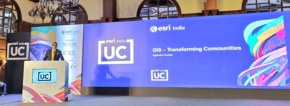
Esri India User Conference 2023, Kolkata chapter, commenced on 20th January 2023 with the theme- ‘GIS- Transforming Communities’. The conference highlighted the applications of GIS technology that has helped communities and the monumental role it plays in making their lives.
The event welcomed esteemed guests from the government sector and academia, accompanied by GIS professionals and users. Agendra Kumar, Managing Director, Esri India inaugurated the conference with his opening speech, followed by a detailed presentation on how GIS has penetrated the lives of people in India and Esri has been the common thread joining all.
Kumar spoke at length on the recently announced National Geospatial Policy (NGP) 2022. He said “Data has been a challenge for a very long time, firstly data was not produced and if produced it was not available for public use. The NGP opened up the scopes to produce and use the data as well as make it available for public use, which is going to make the roots firm for Atmanirbhar Bharat.”
“The steps defined in the policy for strengthening the Geospatial Infrastructure through new data sets, mapping infrastructure and geospatial technologies will play a fundamental role in achieving the vision of economic development,” added Kumar.
ALSO READ: ESRI User Conference: Transforming Communities Through Interoperable GIS
GIS for community development
GIS has become the core component in major infrastructure development, healthcare, agriculture and governance programs. By using location-based analytics, GIS technology has been helping decision-makers to help common people get better access to resources.
Kumar said, “GIS is an agent of transformation for sustainable development goals and with the help of GIS technology, around 5000 women have been empowered. GIS innovations are advancing our collective ability to understand, communicate and create solutions.”
Abhinav Chandra (IAS), Project Director – WBDWSIP and Secretary – PHE Department, Govt. of West Bengal said, “GIS is used for planning, post project management and monitoring of water resources and its development related projects. People in West Bengal suffer majorly due to arsenic poisoning, which happens due to over extraction of ground water. We have limited resources of ground water, which is fit for regular use and that is why we need to ‘reuse, reduce, recycle and reserve’ the amount we ground water.”
The business of mineral exploration covers large expanses of land and deals with abundant data, where location-based information plays an important role in successful extractions. Knowledge of GIS enables mining professionals to explore and calculate economic potential, manage risk, conduct environmental assessments, and analyze other concerns effectively and accurately.
Kumar said, “Location Intelligence is fundamental across the mining life cycle, from mineral exploration to mine remediation. With minerals getting depleted faster than we can replenish, understanding spatial context and integration with other geoscience technologies is critical for the sustainable development of new reserves.”
Dr. C. N. Prabhu, Joint Director- Technical – Bihar Mausam Seva Kendra – Planning and Development Department, Govt. of Bihar, explained in great length the challenges he faced while deploying technology in the rural areas to map the weather conditions in different areas of Bihar. He said, “Deploying technology in rural areas is easy but maintaining them is difficult. Many of our sensors get damaged frequently, solar panels are stolen and equipment get tampered so often, we can overcome such challenges if we let people know the advantages of the technology, how it can benefit them and let them take ownership. Change will come eventually.”
ALSO READ: Esri India Inks MoU with TEXMiN – IIT (ISM) Dhanbad
GIS capabilities for mining and exploration
At the event, Esri India signed a Memorandum of Understanding (MoU) with TEXMiN Foundation to set up a Geospatial Excellence Centre at the Indian Institute of Technology (Indian School of Mines), Dhanbad. The TEXMiN – Esri Geospatial Excellence Centre at IIT (ISM), Dhanbad will focus on research and innovation in spatial analytics & remote sensing for mining and exploration.
With this collaboration, Esri India will enable Technology Innovation in Exploration & Mining Foundation (TEXMiN) with GIS technology for establishing the Geospatial Excellence Centre.
TEXMiN and Esri India will also work towards developing new GIS technology, and training/skill development programs to build the GIS capabilities of mining professionals and drive R&D and industry consulting projects in the domain.


