
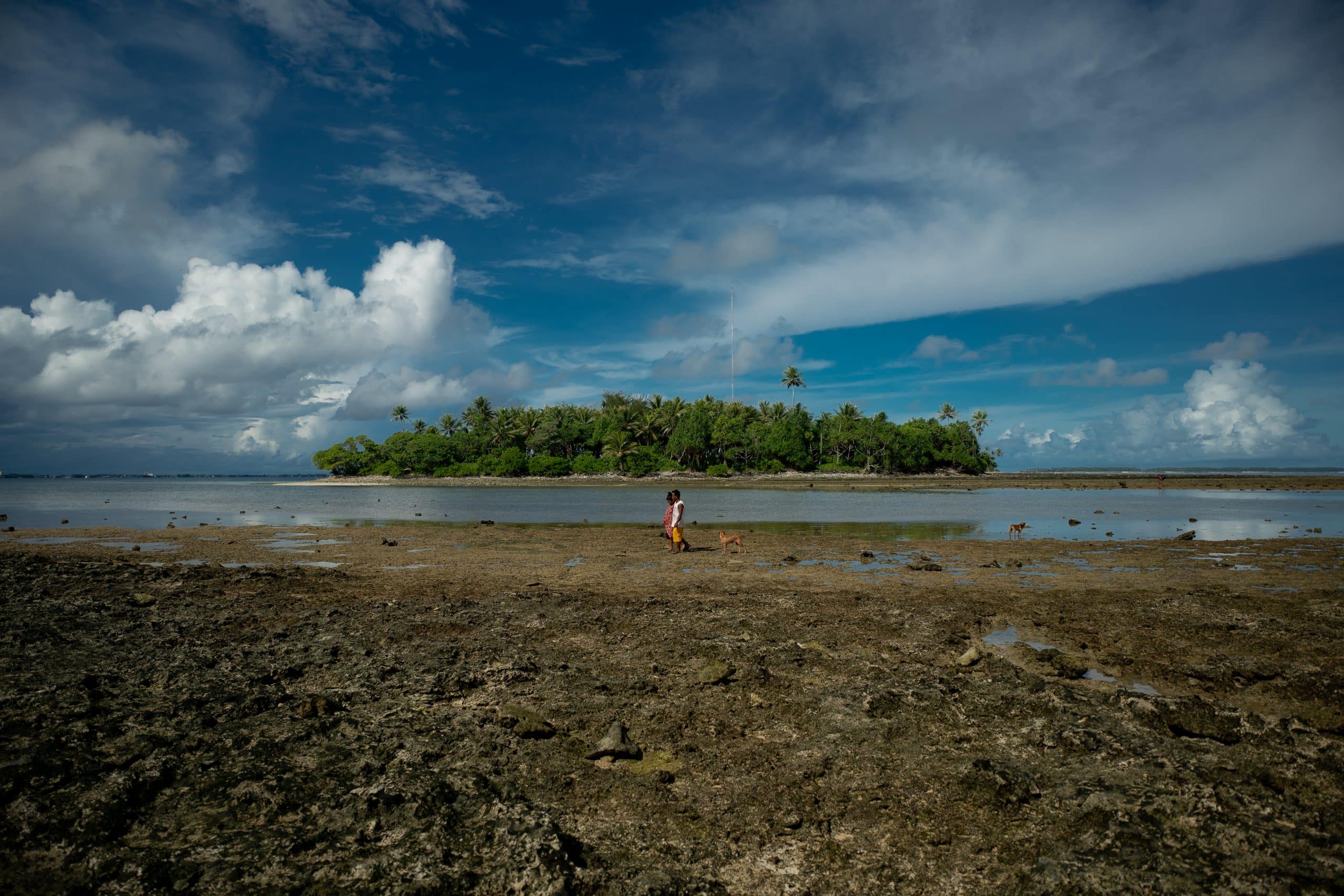
Act now, or perish! That was the alarming message from the United Nations chief as the global leadership gathered in Egypt for the two-week COP 27 climate talks. Secretary-General Antonio Guterres was responding to a UN report released on Sunday, which states that the past eight years were on track to be the warmest on record.
The State of the Global Climate Report 2022 estimates that global temperatures have now risen by 1.15 degree Celsius since pre-industrial times. The report also warns of other critical impacts – the rate of sea level rise has doubled since 1993, record glacier melts including the Arctic, and record-breaking heatwaves around the globe.
The report shows some encouraging trends, however. For instance, it says the current commitments will increase emissions by 10.6% by 2030, compared to 2010 levels. This is an improvement over last year’s assessment, which found countries were on a path to increase emissions by 13.7% by 2030, compared to 2010 levels.
However, even with all this, the combined climate pledges of 193 Parties under the Paris Agreement could lead to warming of around 2.5 degree Celsius by the end of the century. The report notes that many net-zero targets remain uncertain. Ambitious climate action before 2030 is critical to achieve the long-term goals of the Paris Agreement.
The world needs an urgent climate action now! And geospatial and satellite industry is poised to play a crucial role in that.
Since the first Landsat satellite (then ERTS) in 1972, satellite based remote sensing has been used to monitor earth and changes on it. Now, thanks to technologies and innovative sensors, the commercial satellite industry is uniquely positioned to play a larger role in the fight against climate change. There is also a growing movement towards global partnerships in leveraging space technologies for climate mitigation.
The past two decades have also witnessed significant improvements in processing capabilities with strides in cloud services, computation methods and API availability. As we noted in an earlier article, until recently, the world has used satellite data to see how the planet looks like in various spectral bands and resolutions. Now it’s becoming possible to know how our planet breathes. Over the next years, thanks to technological evolution, it will be possible to understand ecological processes at an unprecedented level.
As the UN chief said, the global climate fight will be won or lost in this crucial decade, on our watch… So let’s fight to win.
And, quoting him again, we need all hands on deck for faster, bolder climate action.
Disclaimer: Views Expressed are Author's Own. Geospatial World May or May Not Endorse it


