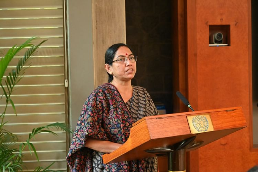
In an exclusive interview with Geospatial World, Debolina Kundu, Director, National Institute of Urban Affairs speaks about the needs of map data for planning urban India. She also sheds light on the importance of geospatial awareness in institute level or education level.
She says, “The way the demands are raised by cities, the geospatial awareness should be there from the school level, higher secondary level. And there is appetite among institutions, among academia, among various sectors which are working towards making cities more sustainable and inclusive.”
Excerpt
What are the needs of the Indian urban areas right now in terms of the requirement of map data and how will it help in urban planning?
By the current statistics, India is urbanizing at the moderate pace. But if you go by the built up areas, India is rapidly urbanizing. The urban footprint is increasing at a quite fast rate and cities are sprawling. So until, and unless we have a GIS map to aid urban planning, I think we are heading towards a disaster.
Urban planning aided by GIS-based maps is the need of the hour, not only in terms of planning, but also for facing the wrath of climate change, like the frequency in occurrence of flash floods and heat islands in various cities around the world. This is where geospatial mapping can come as a great tool.
In addition, when we look at the revenue generation of different cities, our own resources is less than 1% of our GDP. But if we compares countries like Brazil, China, where it’s around 6-7% of the GDP. So property tax management aided by GIS is also one area where cities have started working, but we need to upscale it, that’s another area where cities can largely benefit from this exercise.
In addition, we have the lands and properties in various cities, for which we do not have actual data. Again it comes in a big vein, helping city authorities and the common people to understand what is their property, what are the limits, and that can also aid in selling and mortgage of properties.
What is the India’s readiness when it comes to open source data use and how can public-private partnership contribute to make its use better?
There we need to really understand and we need more of handholding because it’s still at a nascent state, until the various stakeholders are aware of that policy and also able to harness the merits of the policy, we will not be able to really understand and go forward.
We can always synergize between the strong points of the public sector and the private sector and help in creating a landscape where everyone gains from that. But one thing we need to take into account is that we also need to make this data available to one and all.
Until we from the National Institute of Urban Affairs are able to get access to the data or any common person, then this data is of no use. So until and unless the geospatial maps are in common public domain, it will not be of much help.
How important is geospatial awareness at institute level or education or academy level?
It is important at all levels starting from the way we are organizing and the demands created by cities. It should be there from the school level, higher secondary level. And there is appetite among institutions, academia, and various sectors which are working towards making cities more sustainable and inclusive.
Until and unless, we have urban plans, our cities will not progress in that direction because we have only one earth. We need to plan for those cities, and that planning needs to be aided by data. It is GIS, which can really help in developing the maps with various layers of infrastructure, of population, built up spaces and all, so an integrated database can always aid in taking correct policy decisions.
Watch the interview video here:


